The best running trails in Parque Nacional Cajas
5.0
(2)
79
runners
4
runs
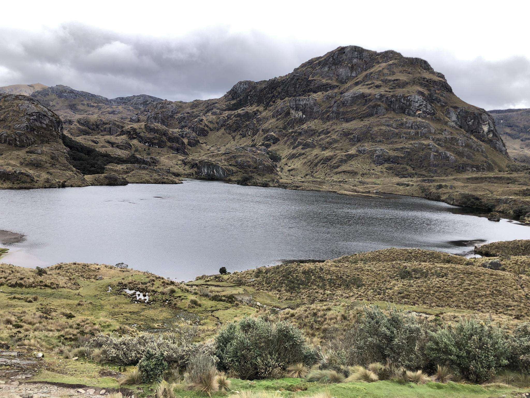
Jogging in Parque Nacional Cajas offers a challenging experience through high-altitude Andean landscapes. The region is characterized by dramatic glacial valleys, extensive networks of lakes, and rolling páramo moorlands. Unique Polylepis forests with their distinctive reddish bark can also be found, particularly around the numerous lagoons. The park's elevation, ranging up to 14,600 feet (4,450 meters), provides a significant cardiovascular workout due to the thinner air.
Best jogging routes in Parque Nacional Cajas
- The most popular jogging route is Bosque…
Last updated: July 12, 2026
14
runners
5.68km
00:53
190m
190m
Hard run. Good fitness required. Sure-footedness, sturdy shoes and alpine experience required.
2
runners
5.39km
01:02
340m
340m
Hard run. Very good fitness required. Sure-footedness, sturdy shoes and alpine experience required.

Sign up for free
2
runners
10.9km
01:36
340m
340m
Hard run. Very good fitness required. Sure-footedness, sturdy shoes and alpine experience required.
8
runners
9.51km
01:22
410m
410m
Hard run. Very good fitness required. Mostly accessible paths. Some sure footedness required.
5.0
(2)
45
runners
7.74km
01:45
870m
870m
Hard run. Very good fitness required. Mostly paved surfaces. Suitable for all skill levels.
Our route recommendations are based on thousands of hikes, rides, and runs completed by other people on komoot.
Start today with a free account
Your next adventure awaits.
Login or Signup
Popular around Parque Nacional Cajas
Frequently Asked Questions
How challenging are the running routes in Parque Nacional Cajas?
Jogging in Parque Nacional Cajas presents a significant challenge due to its high-altitude Andean landscapes, with elevations ranging from 3,100 meters (10,170 feet) to 4,450 meters (14,600 feet). The thinner air naturally increases the cardiovascular demand. All routes listed in this guide, such as the Bosque San Luis loop from El Cajas - La Toreadora, are rated as difficult, featuring notable elevation gains and varied terrain.
What kind of terrain will I encounter on the jogging trails?
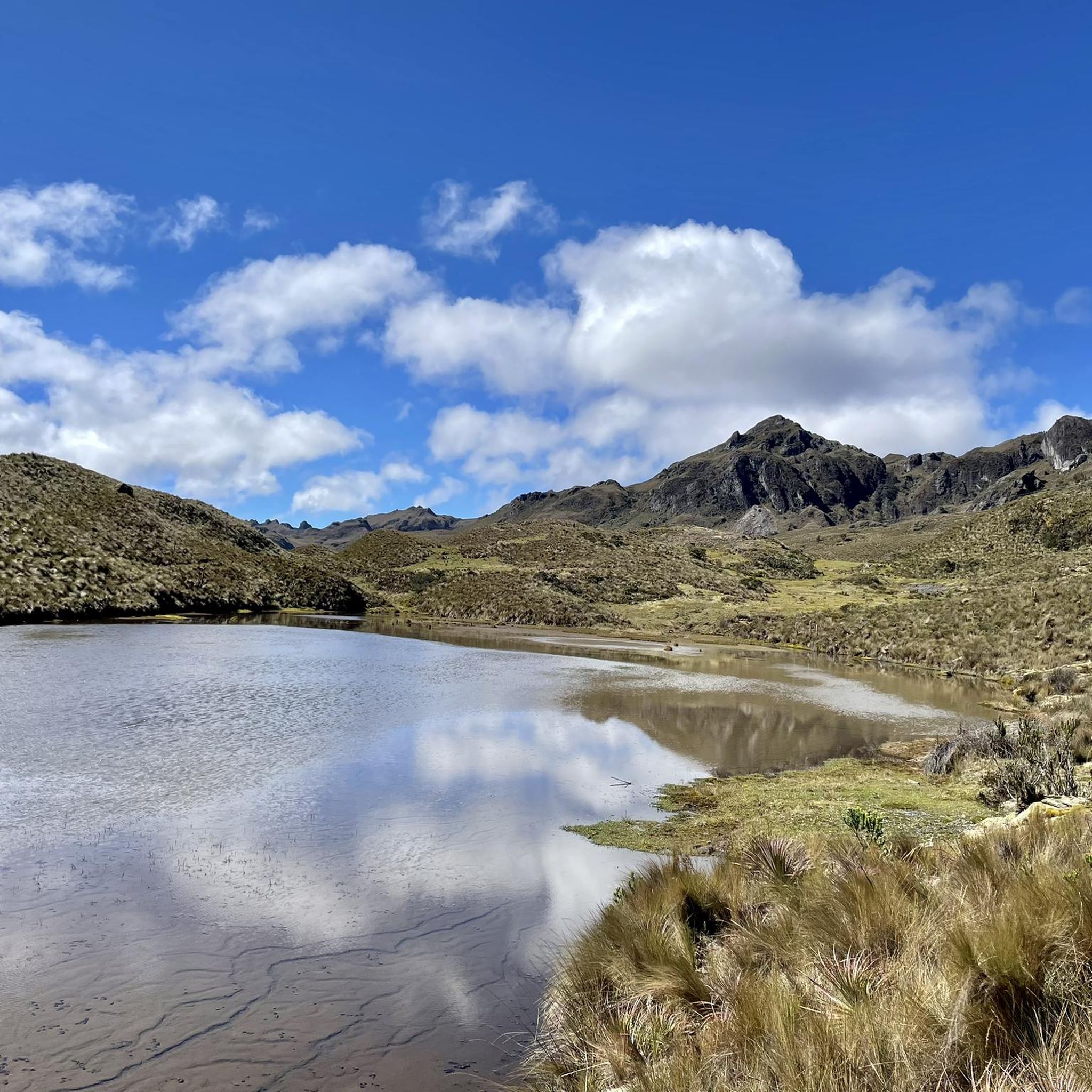
The terrain in Parque Nacional Cajas is diverse and shaped by ancient glacial activity. You'll jog through rolling moorlands of Andean Páramo, characterized by grassland and low shrubs, and encounter unique Polylepis (or 'paper') forests, especially around the numerous lagoons. Expect U-shaped valleys, hills, and moraines, often with views of the park's extensive network of lakes and ponds.
Do I need to acclimatize to the altitude before running in Parque Nacional Cajas?
Yes, it is highly recommended to allow time for acclimatization before engaging in strenuous activities like jogging in Parque Nacional Cajas. The park's high elevation means thinner air, which can significantly impact your performance and well-being if you're not accustomed to it.
What are some of the natural features or landmarks I might see while running?
Parque Nacional Cajas is rich in natural beauty. You'll encounter an impressive network of 786 lakes and lagoons, including the largest glacial lake, Luspa. Keep an eye out for the unique Polylepis forests with their reddish, peeling bark. The park also straddles the continental divide, and from viewpoints like Mirador Tres Cruces, you can observe where water flows to both the Pacific Ocean and the Amazon River.
Are there any circular running routes in the park?
Yes, several routes in Parque Nacional Cajas are circular, allowing you to start and finish at the same point. Examples include the popular Bosque San Luis loop from El Cajas - La Toreadora, which is 3.5 miles (5.7 km), and the more challenging Pico de pescado loop from La Casa del Árbol, covering 5.9 miles (9.5 km).
What is the best time of year to go running in Parque Nacional Cajas?
The weather in Parque Nacional Cajas can be highly changeable, often experiencing all four seasons in a single day. While there isn't a single 'best' time, being prepared for varying conditions is key. Generally, the dry season (roughly June to September) might offer slightly more stable weather, but rain and fog can occur at any time. Always check the forecast before you go.
What kind of wildlife might I spot during my run?
Parque Nacional Cajas is home to diverse wildlife. Joggers might spot wild alpacas and llamas grazing in the páramo. The park is also a birdwatcher's paradise, recognized as a Ramsar Wetland, so look out for various bird species, including Andean Condors and Giant Hummingbirds. If you're very lucky, you might even catch a glimpse of a spectacled bear.
Are there any longer running routes for experienced runners?
Absolutely. For experienced runners seeking a longer challenge, the Patoquinuas – Bosque San Luis loop from Sayausí offers a substantial 6.7 miles (10.9 km) through varied high-altitude landscapes. Another option is the Pico de pescado loop from Las golosinas, which is 4.8 miles (7.7 km) but features significant elevation gain.
What do other runners enjoy most about jogging in Parque Nacional Cajas?
The komoot community highly rates the running experience in Parque Nacional Cajas, with an average score of 5.0 stars. Runners often praise the breathtaking views of glacial valleys, the unique páramo ecosystem, and the challenging yet rewarding high-altitude environment. The sense of accomplishment from completing a difficult route in such a stunning natural setting is frequently highlighted.
Is there public transport available to reach the jogging trails?
While specific public transport routes directly to all trailheads are not detailed, buses from Cuenca regularly pass by the main entrance points of Parque Nacional Cajas, such as the area around La Toreadora. It's advisable to confirm current schedules and drop-off points with local transport providers in Cuenca.
Are there any specific points of interest along the running routes?
Many routes offer proximity to notable points of interest. For instance, trails often pass by Laguna Toreadora and the Toreadora Refuge, which serve as common starting points and scenic spots. The García Moreno Trail is another highlight within the park's network, offering a chance to explore its unique landscapes.
What is the average elevation gain on the running routes?
The running routes in Parque Nacional Cajas feature significant elevation gains, contributing to their 'difficult' rating. For example, the Cerro San Luis – laguna loop from El Cajas - La Toreadora involves an ascent of over 340 meters (1,115 feet), while the Pico de pescado loop from Las golosinas has an impressive elevation gain of over 870 meters (2,850 feet).
Most popular routes in Parque Nacional Cajas
Most popular attractions in Parque Nacional Cajas

Get inspired with the komoot mobile app


Explore more
Browse the best Running Trails & Routes in other regions.
