The best road cycling routes in Parque Natural Regional Cortadera
5.0
(48)
353
riders
3
rides
Road cycling routes in Parque Natural Regional Cortadera traverse high-Andean landscapes within the Eastern Cordillera of the Andes in Boyacá, Colombia. The region is characterized by extensive páramos and high Andean forests, which contribute to significant hydrological regulation. Cyclists encounter mountainous terrain with considerable elevation changes, providing challenging climbs and descents. This area is part of the larger Tota-Bijagual-Mamaciha paramo complex, offering expansive views of unique high-altitude ecosystems.
Best road cycling routes in Parque Natural Regional Cortadera
- The most popular…
Last updated: July 1, 2026
4.9
(20)
97
riders
49.2km
02:05
360m
360m
Moderate road ride. Good fitness required. Mostly well-paved surfaces and easy to ride.
16
riders
47.9km
02:49
670m
680m
Moderate road ride. Good fitness required. Some segments of this route may be unpaved and difficult to ride.

Sign up for free
10
riders
112km
07:09
2,550m
2,550m
Hard road ride. Very good fitness required. Mostly well-paved surfaces and easy to ride.
5.0
(22)
80
riders
63.2km
03:43
1,020m
1,020m
Hard road ride. Very good fitness required. Some segments of this route may be unpaved and difficult to ride.
5.0
(2)
71
riders
79.9km
05:11
1,390m
1,390m
Hard road ride. Very good fitness required. Some segments of this route may be unpaved and difficult to ride.
Our route recommendations are based on thousands of hikes, rides, and runs completed by other people on komoot.
Start today with a free account
Your next adventure awaits.
Login or Signup
Popular around Parque Natural Regional Cortadera
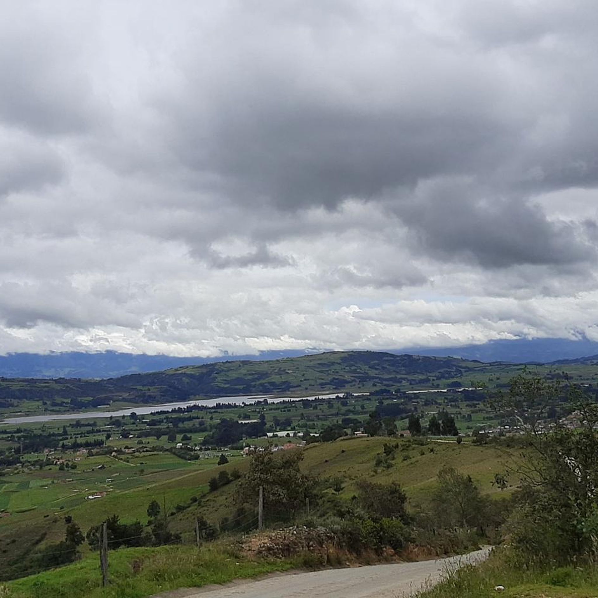
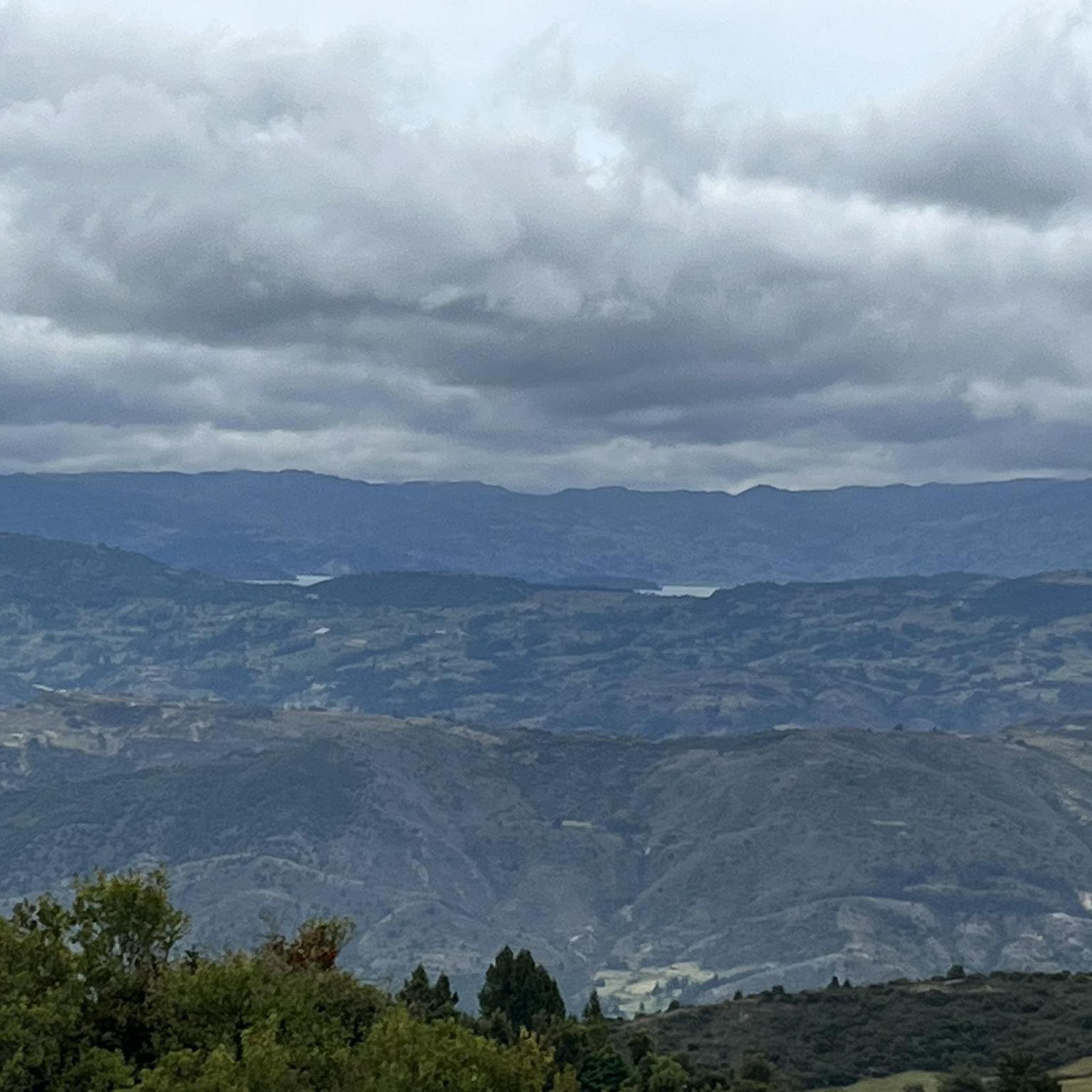
Tips from the Community

Beautiful panoramic view of the Tota lagoon. Lake located at 3000 meters above sea level.
0
0
Grocery store. Excellent attention. Special for thirsty cyclists coming down from Torá Lagoon
0
0
Mythical port very visited by road and mountain cyclists. Elevation of 2900 meters above sea level. Completely paved section from Firavitoba. From Paipa there are still some segments to be paved.
1
0


How can you enter the velodrome?
0
0


This climb starts in Sogamoso and will take you to Tota Lake (unless you want to take the other way) the segment is about 16km at 5%.
0
0
Frequently Asked Questions
What kind of terrain and elevation changes can I expect on road cycling routes in Parque Natural Regional Cortadera?
Road cycling in Parque Natural Regional Cortadera involves challenging high-Andean landscapes with significant elevation changes. The region is part of the Eastern Cordillera of the Andes, meaning you'll encounter sustained climbs and descents. For example, the difficult route Alto de Sote – Tunja Velodrome loop from Ciénega features over 2,400 meters of elevation gain, characteristic of the demanding Andean topography.
Are there road cycling routes suitable for different skill levels?
Yes, the area offers routes for various abilities. While the terrain is generally mountainous, you can find moderate options like the El Guiol Grocery Store loop from Pesca, which covers 30.5 miles with moderate elevation. More experienced cyclists can tackle difficult routes such as the Alto del Crucero – Lake Tota loop from Iza, which includes over 1,300 meters of ascent.
What natural features or scenic viewpoints can I expect to see while cycling?
Cyclists will experience breathtaking vistas of unique high-altitude vegetation and geological formations, characteristic of the páramo ecosystems. The park is part of the larger Tota-Bijagual-Mamaciha paramo complex, offering expansive views. Routes often traverse areas bordering this ecologically significant natural park, providing a unique blend of physical challenge and natural immersion.
What is the best time of year to cycle in Parque Natural Regional Cortadera, and what should I wear?
The climate in this high-altitude Andean region is typically very cold and humid, with temperatures ranging between 6 and 12 °C year-round. Therefore, cyclists should be prepared for cool conditions regardless of the season. It's advisable to wear warm and comfortable clothing, use sunscreen, and bring appropriate footwear. Always check local weather forecasts before heading out.
Are there any specific regulations or restrictions for cyclists within Parque Natural Regional Cortadera?
Parque Natural Regional Cortadera is primarily focused on conservation due to its environmental fragility. Activities like making bonfires and bringing pets are prohibited to protect the delicate ecosystem. While cycling is generally permitted on roads leading to and around the park's perimeter, it's crucial to respect conservation guidelines and be mindful of the fragile environment.
How many road cycling routes are available in the Parque Natural Regional Cortadera area?
There are several road cycling routes available in the Parque Natural Regional Cortadera area, with komoot featuring at least 5 distinct routes. These include a mix of moderate and difficult options, catering to different endurance levels.
What do other road cyclists enjoy the most about road cycling in Parque Natural Regional Cortadera?
The road cycling routes in Parque Natural Regional Cortadera are highly rated by the komoot community, with an average score of 4.9 stars from over 40 reviews. Cyclists often praise the challenging climbs, the unique high-Andean landscapes, and the immersive experience of cycling through such a significant natural environment.
Are there any loop routes for road cycling in the region?
Yes, many of the routes in the area are designed as loops, offering a continuous cycling experience without retracing your path. Examples include the moderate Alto de Curies loop from Pesca and the more challenging Lake Tota – Alto del Crucero loop from Iza.
What is the road quality like for cycling in the municipalities surrounding Parque Natural Regional Cortadera?
The region of Boyacá, where Parque Natural Regional Cortadera is located, is renowned as a hub for cycling in Colombia. Road cycling routes in Boyacá often feature well-paved surfaces, making them suitable for road bikes, even with the significant elevation gains characteristic of the Andean terrain.
Can I find accommodation or places to eat near the road cycling routes?
While the immediate park area is focused on conservation, the surrounding municipalities like Pesca, Siachoque, Toca, Tuta, and Rondón offer amenities. As Boyacá is a popular cycling destination, you can expect to find accommodation, cafes, and restaurants in these towns to support your cycling adventures.
Are there any family-friendly or easy road cycling options near Parque Natural Regional Cortadera?
The mountainous terrain of Parque Natural Regional Cortadera generally presents challenging climbs. While there are moderate routes, truly 'easy' or 'flat' family-friendly road cycling paths are less common directly within this high-Andean environment. Cyclists should be prepared for elevation changes, even on shorter routes.
What are the typical distances and durations for road cycling routes in this area?
Route distances vary significantly, from moderate loops around 30 miles (48 km) like the El Guiol Grocery Store loop from Pesca, which takes about 2 hours, to difficult routes exceeding 60 miles (100 km) such as the Alto de Sote – Tunja Velodrome loop from Ciénega, which can take nearly 7 hours to complete.
Most popular routes in Parque Natural Regional Cortadera

Get inspired with the komoot mobile app


Explore more
Browse the best Road cycling routes in other regions.
