The best running trails in Parque Nacional Natural Los Nevados
48
runners
5
runs
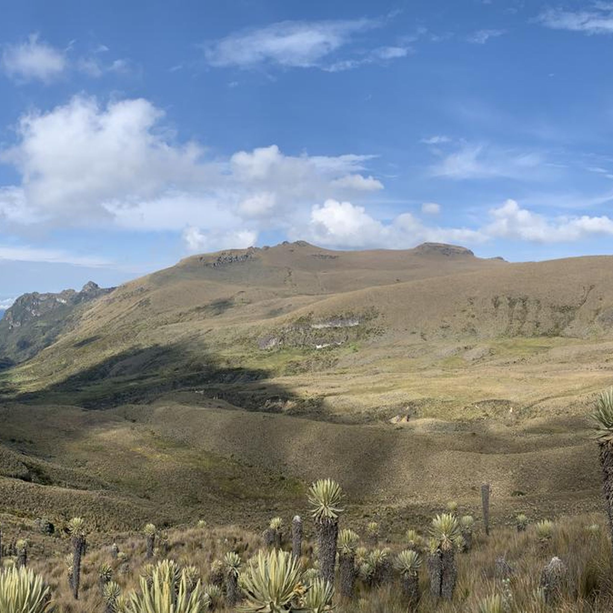
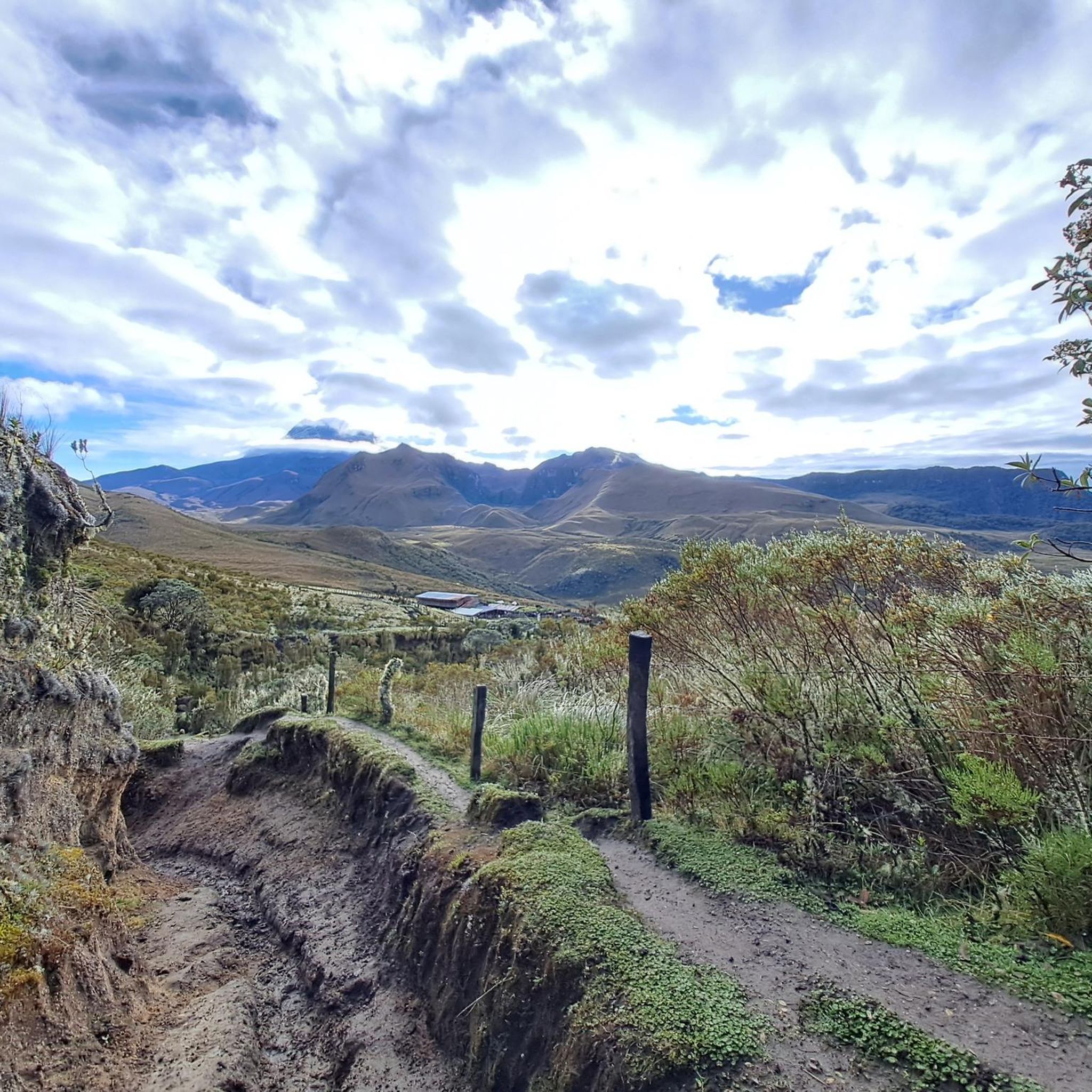
Jogging in Parque Nacional Natural Los Nevados offers routes through a diverse landscape characterized by towering, snow-capped volcanoes and high-altitude páramo ecosystems. The region spans over 58,000 hectares, featuring dramatic topography with peaks rising above 4,800 meters above sea level. Runners can experience transitions from humid cloud forests to expansive grasslands, alongside glacial lagoons and unique plant species like frailejones. This varied terrain provides challenging high-altitude experiences for trail running enthusiasts.
Best jogging routes in Parque Nacional Natural Los Nevados
- The most popular jogging route is Running loop from Cocora, a 5.8 miles (9.4 km) trail that takes 1 hour 35 minutes to complete. This difficult route explores the diverse landscapes around the Cocora Valley.
- Another top favourite among local runners is Finca Buenos Aires – Finca la Argentina loop from Cocora, a difficult 14.4 miles (23.2 km) path. This route leads through high-altitude páramo and cloud forests, offering a challenging experience.
- Local runners also love the Mirador 4157m loop from Laguna Negra, a 11.3 miles (18.1 km) trail leading through volcanic landscapes and high-altitude viewpoints, often completed in about 2 hours 16 minutes.
- Jogging in Parque Nacional Natural Los Nevados is defined by towering volcanoes, unique páramo ecosystems, and cloud forests. The network offers options for demanding high-altitude experiences, catering to runners seeking challenging terrain.
- The routes in Parque Nacional Natural Los Nevados are highly rated by the komoot community with an average score of 5.0 stars from over 1 review. More than 150 runners have used komoot to explore Parque Nacional Natural Los Nevados's varied terrain.
Last updated: July 1, 2026
12
runners
18.1km
02:16
640m
640m
Hard run. Very good fitness required. Mostly paved surfaces. Suitable for all skill levels.
6
runners
24.4km
04:56
1,720m
1,720m
Hard run. Very good fitness required. Sure-footedness, sturdy shoes and alpine experience required.

Sign up for free
7
runners
14.1km
02:55
960m
960m
Hard run. Very good fitness required. Sure-footedness, sturdy shoes and alpine experience required.
9
runners
10.7km
01:21
370m
370m
Hard run. Very good fitness required. Mostly paved surfaces. Suitable for all skill levels.
5
runners
17.2km
02:16
610m
610m
Hard run. Very good fitness required. Mostly paved surfaces. Suitable for all skill levels.
Our route recommendations are based on thousands of hikes, rides, and runs completed by other people on komoot.
Start today with a free account
Your next adventure awaits.
Login or Signup
Popular around Parque Nacional Natural Los Nevados
Tips from the Community

These suspension bridges are quite adventurous. But they allow hikers to cross the Río Quindío on popular hiking trails in the Cocora Valley.
0
0
The bridges and paths („Puentes y sendas“) that lead hikers through the cloud forest ecosystem. Highlights of the hiking route Hanging bridges: The path along the Quindío River crosses several adventurous, mostly simple wooden bridges. Circular route: The classic hike takes about 5 to 6 hours (approx. 12 km) and leads through dense jungle, cloud forest, and open pastures with palm trees. Popular destinations along the route include the Reserva Natural Acaime (Home of the Hummingbirds) and Finca La Montaña at 2840m.
0
0
The Quebrada Cárdenas is a picturesque mountain stream in the Quindío department and is part of a popular hiking route that leads through dense cloud forests and past the giant wax palms. The route through the Cocora Valley often runs along or across the Quebrada Cárdenas. The trail is considered moderately difficult and offers spectacular views of the Andean landscape. As the terrain can be muddy and slippery, sturdy footwear is recommended. The area offers lush vegetation, numerous bird species, and the sound of rushing water.
0
0
The Bosque de Las Palmas trail is part of Los Nevados National Natural Park and is known for the wax palms, up to 60 meters high, the national tree of Colombia. The route is classified as moderate. It is about 4.3 km long and takes an average of 1.5 to 2 hours. The trail leads through Andean landscapes and rainforest sections. As the ground can often be slippery and muddy, sturdy footwear and the use of hiking poles are recommended. There are several Miradores (viewpoints) along the way.
0
0
The Cocora Valley is primarily famous for the Quindío wax palm (Ceroxylon quindiuense), the national tree of Colombia. It is considered the tallest palm species in the world and can reach an impressive height of 60 to 80 meters. These palms grow very slowly and can live for over 300 years. The name "Cocora" probably comes from a princess of the Quimbaya culture and translates to "Star of Water".
0
0

The Cocora Valley trail, along the Quindío River, is a hiker's paradise. The path is barely maintained, and the bridges are rudimentary; however, this adds a rustic touch to the experience and allows you to focus on enjoying nature in its purest form.
1
0

To cross the river, there's no bridge as such; you have to use these logs with a rope attached to the side. Be careful and keep your footing steady.
0
0

This is being marketed quite a bit here. You can hike, or, if you're feeling a bit lazier, get pulled along by horses.
5
0
Frequently Asked Questions
How many running routes are available in Parque Nacional Natural Los Nevados?
There are over 7 dedicated running routes in Parque Nacional Natural Los Nevados, all offering challenging high-altitude experiences through diverse landscapes.
Are there any running routes suitable for beginners in Parque Nacional Natural Los Nevados?
Jogging in Parque Nacional Natural Los Nevados is generally considered challenging due to the high altitude and technical terrain. All listed routes are rated as difficult, making them more suitable for experienced runners prepared for demanding conditions. Acclimatization is highly recommended.
What are some of the most challenging running routes in the park?
For experienced runners seeking a significant challenge, routes like the Finca Buenos Aires – Finca la Argentina loop from Cocora, a 14.4-mile (23.2 km) path through high-altitude páramo and cloud forests, are highly recommended. Another demanding option is the Mirador 4157m loop from Laguna Negra, which covers 11.3 miles (18.1 km) through volcanic landscapes.
Are there circular running routes in Parque Nacional Natural Los Nevados?
Yes, many of the running routes in the park are circular, allowing you to start and finish at the same point. Examples include the popular Running loop from Cocora and the Estrella de Agua loop from Cocora.
What kind of landscapes can I expect to see while running in the park?
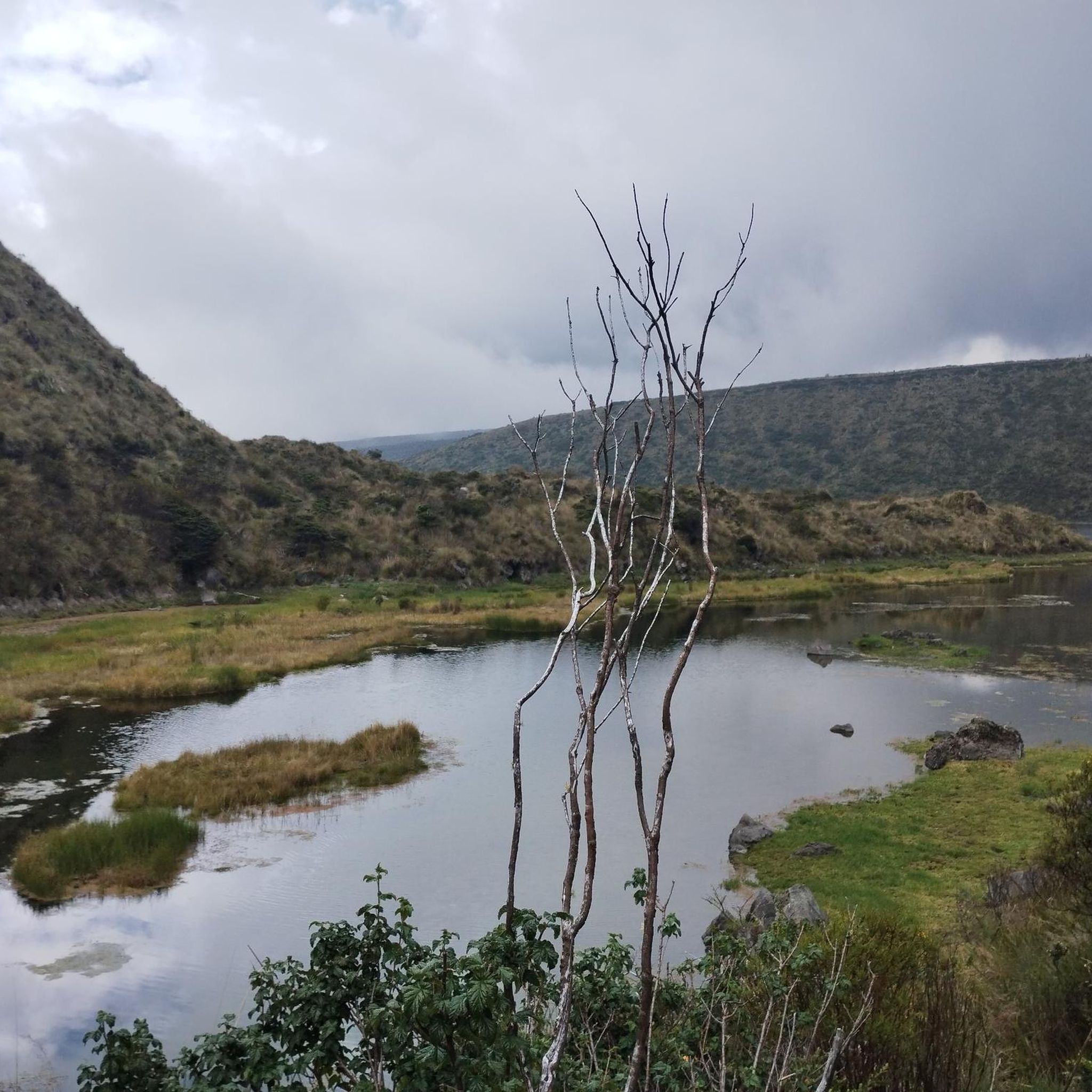
Runners in Parque Nacional Natural Los Nevados will experience a dramatic transition of landscapes, from humid cloud forests to expansive grasslands and unique high-altitude páramo ecosystems. You'll encounter towering, snow-capped volcanoes, glacial lagoons like Laguna del Otún, and distinctive plant species such as frailejones.
What is the best time of year for running in Parque Nacional Natural Los Nevados?
The best time for outdoor activities, including running, is generally during the dry season, which runs from December to March and again from July to August. However, weather conditions can still be variable at high altitudes, so always be prepared for changes.
What kind of wildlife might I spot while running?
Parque Nacional Natural Los Nevados is rich in biodiversity. While running, you might encounter endemic species like the spectacled bear, and a variety of birds including the majestic Andean condor, blue-crowned motmots, and various hummingbirds. The unique páramo ecosystem also hosts diverse flora.
Are there any notable attractions or viewpoints along the running trails?
Absolutely. The park offers breathtaking viewpoints of its towering volcanoes. The Summit of the Nevado de Tolima is a significant landmark. The Cocora Valley, an official entry point, is famous for its towering wax palms. You might also pass by important facilities like the Entrance to Los Nevados National Natural Park and mountain huts such as Finca La Primavera.
What should I wear or bring for a running trip in Parque Nacional Natural Los Nevados?
Given the high altitude and unpredictable weather, it's crucial to be prepared. Wear layers, including waterproof and windproof outer shells. Sturdy trail running shoes with good grip are essential for the technical terrain. Always carry sufficient water, snacks, sun protection, and consider bringing a first-aid kit and navigation tools. Acclimatization is also vital.
Is it recommended to hire a guide for running in the park?
While some trails can be explored independently, certain areas, particularly at higher altitudes and on more challenging routes, are best undertaken with experienced guides. This is due to the technical nature of some trails, the high altitude, and rapidly changing weather conditions.
What do other runners say about their experience in Parque Nacional Natural Los Nevados?
The running routes in Parque Nacional Natural Los Nevados are highly rated by the komoot community, with an average score of 5.0 stars. Runners often praise the dramatic volcanic landscapes, the unique páramo ecosystems, and the challenging yet rewarding high-altitude experiences.
Are there hot springs in Parque Nacional Natural Los Nevados?
Yes, the park is known to have hot springs, offering a unique opportunity for relaxation amidst the rugged and dramatic volcanic terrain after a challenging run.
Most popular routes in Parque Nacional Natural Los Nevados
Most popular attractions in Parque Nacional Natural Los Nevados

Get inspired with the komoot mobile app


Explore more
Browse the best Running Trails & Routes in other regions.
