The best road cycling routes in Ecoparque Río Pance
4.9
(20)
193
riders
6
rides
Road cycling in Ecoparque Río Pance, located in Cali, Valle del Cauca, Colombia, offers diverse terrain for cyclists. The region features a mix of paved and unpaved sections, with routes winding through dry tropical and humid premontane forests. The Pance River flows through the park, providing a natural backdrop, while the Farallones de Cali mountains form a significant part of the area's topography. Cyclists can expect varied elevation profiles, from gentle paths to challenging climbs.
Best road cycling routes in…
Last updated: July 2, 2026
4.9
(19)
137
riders
Moderate road ride. Good fitness required. Mostly well-paved surfaces and easy to ride.
19
riders
71.1km
04:19
1,460m
1,460m
Hard road ride. Very good fitness required. Mostly well-paved surfaces and easy to ride.

Sign up for free
24
riders
Moderate road ride. Good fitness required. Mostly well-paved surfaces and easy to ride.
5.0
(1)
9
riders
Easy road ride. Great for any fitness level. Mostly well-paved surfaces and easy to ride.
4
riders
56.7km
03:48
1,400m
1,400m
Hard road ride. Very good fitness required. Some segments of this route may be unpaved and difficult to ride.
Our route recommendations are based on thousands of hikes, rides, and runs completed by other people on komoot.
Start today with a free account
Your next adventure awaits.
Login or Signup
Popular around Ecoparque Río Pance

Tips from the Community


Frequently Asked Questions
What kind of terrain can I expect when road cycling in Ecoparque Río Pance?
Ecoparque Río Pance offers varied terrain for road cyclists. You'll find a mix of paved and unpaved sections, with routes winding through dry tropical and humid premontane forests. The area features diverse elevation profiles, ranging from gentle paths suitable for leisurely rides to demanding routes with steep slopes, especially as you approach the foothills of the Farallones de Cali mountains.
Are there road cycling routes suitable for beginners or families in Ecoparque Río Pance?
Yes, Ecoparque Río Pance has options for less strenuous cycling. For an easy and accessible ride through natural surroundings, consider the Roundabout – Pangola loop from Parada MIO - Calle 18 entre Carrera 127 y 129 Colegio Luis Horacio Gomez, which is about 20 miles (32 km) long. Another easy option is the La Vorágine – La Vorágine loop from Parada MIO - Carrera 180 Entrada a la Hacienda El Castillo, covering about 19.7 miles (31.7 km).
What are some challenging road cycling routes for experienced riders in the Ecoparque Río Pance area?
Experienced riders seeking a challenge will find demanding routes with significant elevation gain. The Buenaventura Km 18 – El Templete Church loop from Velodromo Alcides Nieto Patiño is a popular choice, spanning 44.2 miles (71.1 km) and leading through diverse ecosystems with considerable climbing. Some paths in the region, particularly those extending towards Pico de Águila, are known for being long, unpaved in sections, and featuring steep slopes.
What natural features or attractions can I see along the road cycling routes?
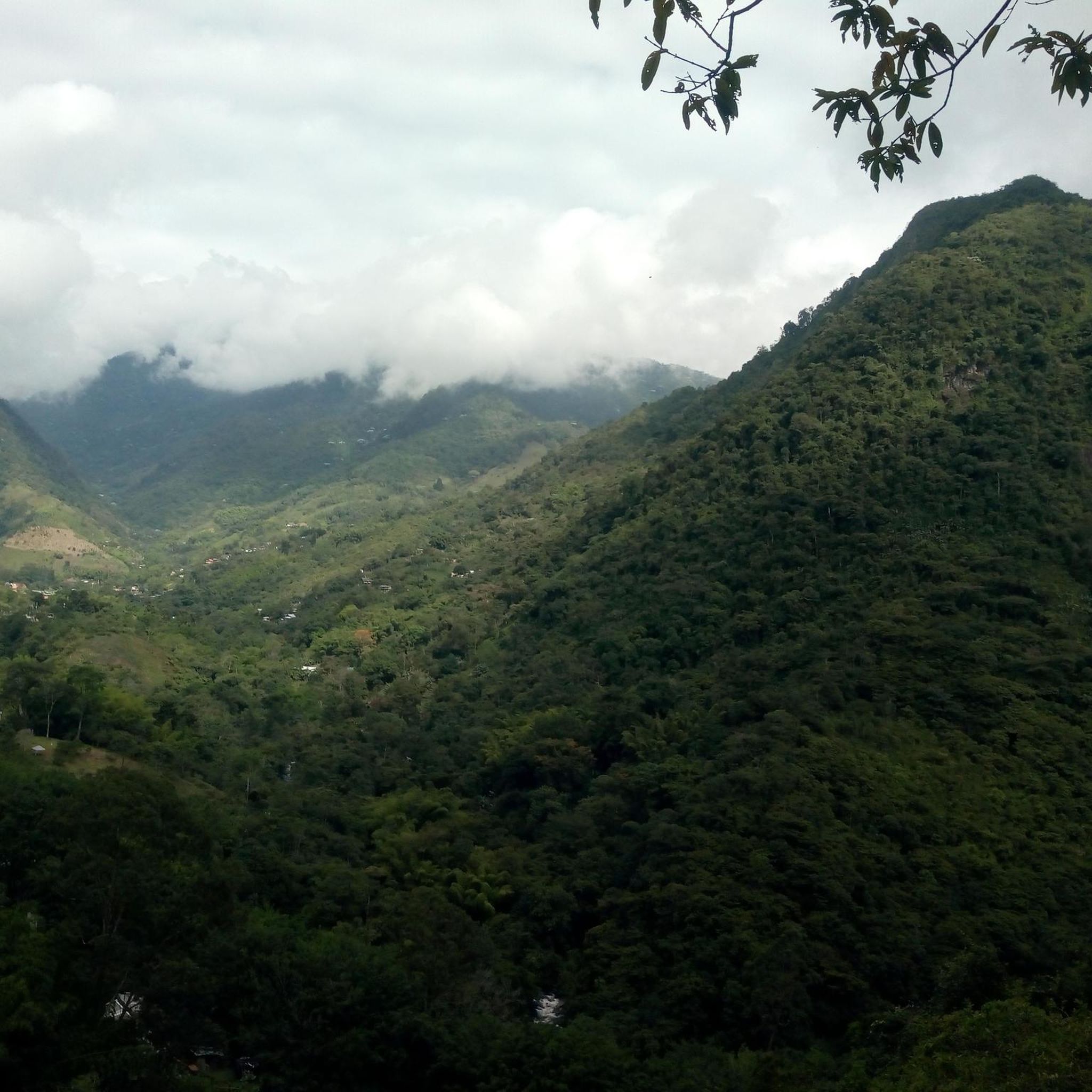
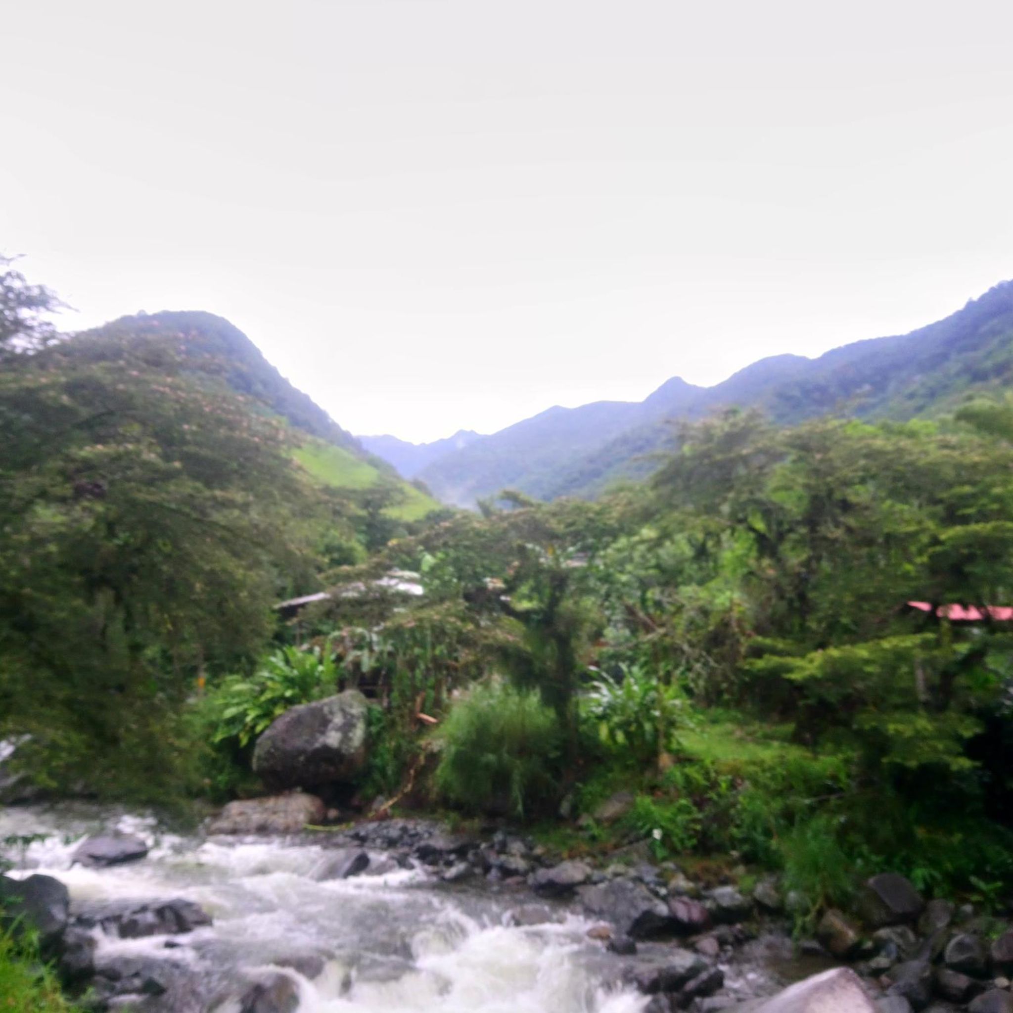
Road cycling in Ecoparque Río Pance offers stunning natural beauty. You'll encounter the clean, cold Pance River, which is a central attraction for its refreshing ambiance. Routes often pass through lush vegetation, including impressive bamboo groves that create picturesque paths. The majestic Farallones de Cali mountains provide a dramatic backdrop, and the park's diverse ecosystems offer opportunities for birdwatching and enjoying local wildlife.
Are there any loop routes available for road cycling in Ecoparque Río Pance?
Yes, several road cycling routes in Ecoparque Río Pance are designed as loops, allowing you to start and finish at the same point. Examples include the easy Roundabout – Pangola loop, the moderate Robles Police Substation – Guachinte Territory of Peace loop, and the challenging Buenaventura Km 18 – El Templete Church loop.
What do other road cyclists say about their experience in Ecoparque Río Pance?
The road cycling routes in Ecoparque Río Pance are highly rated by the komoot community, with an average score of 4.9 stars from over 20 reviews. Cyclists often praise the diverse terrain, the beautiful natural surroundings, and the variety of options available for different skill levels, from easy paved paths to demanding climbs.
Is there parking available for road cyclists at Ecoparque Río Pance?
While specific parking areas for cyclists are not detailed in the route data, Ecoparque Río Pance is a popular destination, and general parking facilities are typically available for visitors. It's advisable to check local signage or park information upon arrival for designated cyclist parking or safe spots near access points.
What is the best time of year to go road cycling in Ecoparque Río Pance?
Ecoparque Río Pance, located near Cali, generally experiences a tropical climate. While specific 'best times' for cycling aren't detailed, the region is known for its warm breezes. It's always recommended to check local weather conditions before your ride, especially concerning rainfall, as some unpaved sections might become more challenging after heavy rain.
Are there places to eat or get refreshments near the road cycling routes?
Yes, Ecoparque Río Pance is a well-visited area. The region research indicates that visitors can find street food vendors offering local snacks within the park. Additionally, there are likely cafes and restaurants in the vicinity of the park's main access points, particularly in the city of Cali, to refuel after your ride.
Can I access Ecoparque Río Pance by public transport for road cycling?
The route starting points mentioned, such as 'Parada MIO - Calle 18 entre Carrera 127 y 129 Colegio Luis Horacio Gomez' and 'Parada MIO - Carrera 180 Entrada a la Hacienda El Castillo', suggest that public transport (MIO, Cali's mass transit system) serves areas close to the park's access points. This indicates that reaching the starting points by public transport is a viable option for cyclists.
Are there any moderate difficulty road cycling routes in the Ecoparque Río Pance area?
Yes, Ecoparque Río Pance offers several moderate road cycling routes. The Robles Police Substation – Guachinte Territory of Peace loop from Velodromo Alcides Nieto Patiño is a popular moderate option, covering 48.2 miles (77.6 km) and traversing varied landscapes. Another moderate route is the La Ballena Wetland – Pangola loop from Parada MIO - Carrera 180 Entrada a la Hacienda El Castillo, which is about 31.5 miles (50.8 km) long.
What kind of wildlife might I encounter while cycling in Ecoparque Río Pance?
Ecoparque Río Pance is a haven for diverse wildlife, thanks to its dry tropical and humid premontane forest ecosystems. Birdwatching is a popular activity, and you may spot various bird species. The park's focus on biodiversity, including the 'Ecoparque de la Biodiversidad', highlights its rich flora and fauna, offering a chance to connect with nature during your ride.

Get inspired with the komoot mobile app


Explore more
Browse the best Road cycling routes in other regions.
