The best cycling routes in Ronda De Protección Del Lago De Tota
4.6
(7)
91
riders
5
rides
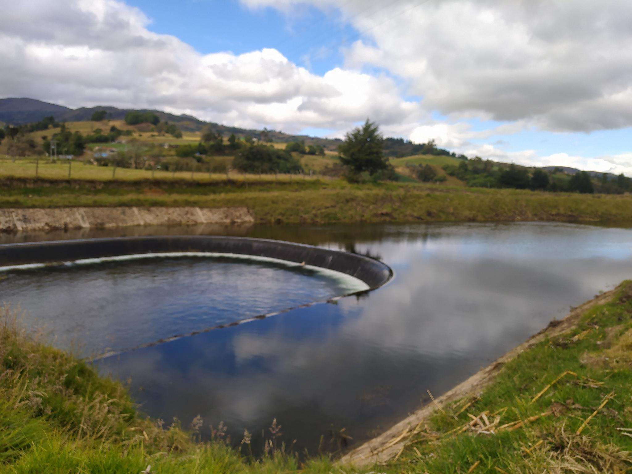
Touring cycling in Ronda De Protección Del Lago De Tota offers routes through a high-Andean ecosystem, characterized by serene waters, lush farmland, and green hills. The region is situated at an elevation of approximately 3,015 meters above sea level, encompassing Lago de Tota, Colombia's largest natural lake. Cyclists navigate varied terrain, including uphill climbs and descents, providing a challenging experience. The landscape features the expansive lake, its shores, and surrounding traditional Colombian farm life.
Best touring cycling routes in Ronda…
Last updated: July 5, 2026
5.0
(1)
6
riders
41.5km
02:45
630m
630m
Hard bike ride. Very good fitness required. Mostly paved surfaces. Suitable for all skill levels.
4.0
(1)
16
riders
44.7km
03:34
710m
710m
Hard bike ride. Very good fitness required. Mostly paved surfaces. Suitable for all skill levels.

Sign up for free
4.0
(1)
31
riders
64.8km
05:42
1,270m
1,270m
Hard bike ride. Very good fitness required. Mostly paved surfaces. Suitable for all skill levels.
5.0
(1)
33
riders
51.4km
04:07
980m
980m
Hard bike ride. Very good fitness required. Mostly paved surfaces. Suitable for all skill levels.
5.0
(3)
5
riders
32.8km
02:20
470m
470m
Hard bike ride. Very good fitness required. Mostly paved surfaces. Suitable for all skill levels.
Our route recommendations are based on thousands of hikes, rides, and runs completed by other people on komoot.
Start today with a free account
Your next adventure awaits.
Login or Signup
Popular around Ronda De Protección Del Lago De Tota
Tips from the Community

There's a nice restaurant here with a speciality of locally caught trout.
0
0
Frequently Asked Questions
How many touring cycling routes are available in Ronda De Protección Del Lago De Tota?
There are 5 touring cycling routes documented in Ronda De Protección Del Lago De Tota, all of which are rated as difficult due to the challenging high-Andean terrain and significant elevation changes.
What kind of terrain can I expect when touring cycling in Ronda De Protección Del Lago De Tota?
You can expect varied and challenging terrain. The region is situated at an elevation of approximately 3,015 meters above sea level, featuring a high-Andean ecosystem with serene waters, lush farmland, and green hills. Routes often include significant uphill climbs and descents, providing a demanding yet rewarding experience.
What are the typical weather conditions for cycling in this high-altitude region?
Given the high altitude of around 3,015 meters, cyclists should be prepared for potential cold temperatures and changing weather conditions, including rain. It's advisable to carry appropriate gear like waterproof clothing and thermal gloves to stay comfortable.
What should I bring for a touring cycling trip around Lago de Tota?
Due to the high altitude and variable weather, it's recommended to bring waterproof clothing, thermal gloves, and layers to adapt to changing temperatures. Always carry enough water and snacks, and ensure your bike is in good condition for challenging terrain.
Are there any circular touring cycling routes around Lago de Tota?
Yes, all the touring cycling routes listed for Ronda De Protección Del Lago De Tota are circular loops. For example, you can explore the Viewpoint for Lago De Tota loop from Isla Santo Domingo, which offers stunning lake views.
What are some scenic viewpoints or natural features I can see along the bike trails?
The region is rich in natural beauty. You'll encounter expansive views of Lago de Tota, the largest natural lake in Colombia. A notable natural feature is Playa Blanca, a unique white sand beach at the southern end of the lake. The routes also pass through traditional Colombian farm areas and high-Andean landscapes.
Are there any challenging touring cycling routes for experienced cyclists?
All touring cycling routes in Ronda De Protección Del Lago De Tota are rated as difficult, making them suitable for experienced cyclists seeking a challenge. Routes like the Viewpoint for Lago De Tota loop from Iza, at 64.8 km with significant elevation, offer a demanding ride through high-altitude landscapes and local villages.
What do other touring cyclists enjoy the most about cycling in Ronda De Protección Del Lago De Tota?
The area is highly rated by the komoot community, with an average score of 4.5 stars. Cyclists often praise the unique high-Andean ecosystem, the vast Lago de Tota, and the challenging yet rewarding terrain that provides an immersive experience of traditional Colombian farm life.
Are there any villages or towns to explore along the touring cycling routes?
Yes, the road encircling Lago de Tota allows cyclists to discover quaint and authentic villages such as Iza, Aquitania, and Cuitiva. These villages offer cultural insights and a glimpse into local life, with Aquitania being known for its onion farming.
Is it possible to find accommodation or cafes near the cycling routes?
While specific cafes and accommodations are not detailed in the route data, the villages surrounding the lake, such as Iza, Aquitania, and Cuitiva, are likely places to find local services, including cafes and guesthouses, catering to visitors.
Are there options for long-distance touring cycling in the region?
Yes, routes like the Viewpoint for Lago De Tota loop from Iza, which spans 64.8 km, provide a substantial challenge for long-distance touring cyclists looking to explore the high-altitude landscapes and local villages over several hours.
What other outdoor activities can be enjoyed in the Ronda De Protección Del Lago De Tota region besides cycling?
Beyond cycling, the region offers a variety of outdoor activities. You can enjoy hiking on trails around the lake, boat rides, kayaking, and sailing on Lago de Tota. Birdwatching is popular due to the area being an Important Bird Conservation Area, and the clear night skies are excellent for stargazing.
Most popular routes in Ronda De Protección Del Lago De Tota

Get inspired with the komoot mobile app


Explore more
Browse the best Cycling routes in other regions.
