The best cycling routes in Sistema Municipal De Áreas Protegidas Nobsa
4.9
(91)
700
riders
65
rides
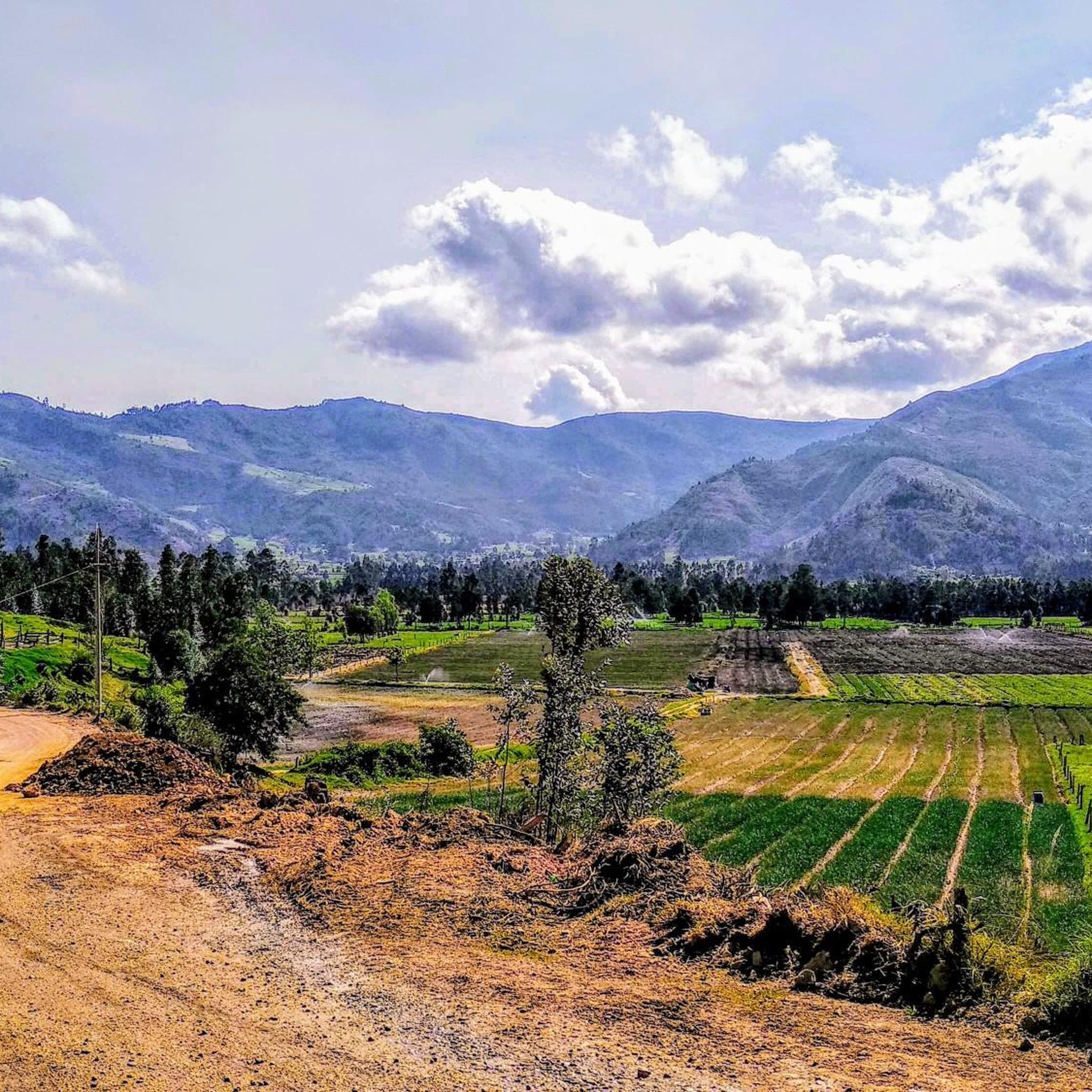
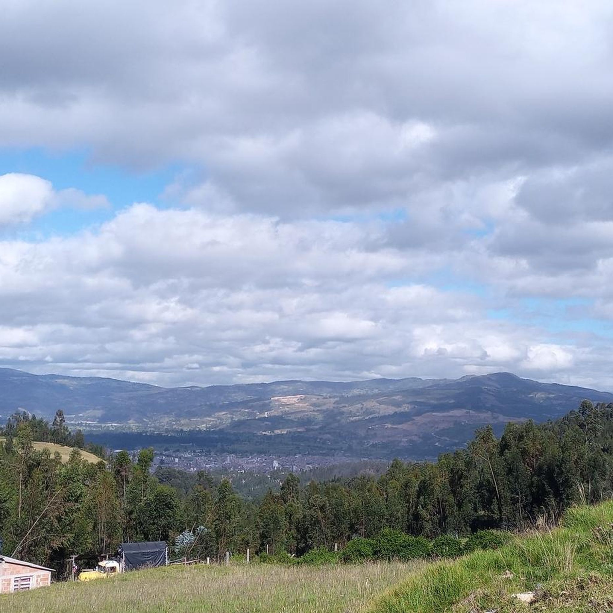
Touring cycling routes in Sistema Municipal De Áreas Protegidas Nobsa traverse a region characterized by its location in the Chicamocha River valley, at an elevation of 2,510 meters above sea level. The terrain offers varied landscapes, from rural agricultural areas to higher-altitude ecosystems, including a recovering paramo. These features provide diverse challenges and scenic backdrops for touring cyclists.
Best touring cycling routes in Sistema Municipal De Áreas Protegidas Nobsa
- The most popular touring cycling route is Gustavo Jiménez School –…
Last updated: July 1, 2026
4.9
(7)
53
riders
73.8km
04:41
830m
830m
Hard bike ride. Very good fitness required. Mostly paved surfaces. Suitable for all skill levels.
4.8
(15)
50
riders
50.4km
03:21
340m
340m
Moderate bike ride. Good fitness required. Mostly paved surfaces. Suitable for all skill levels.

Sign up for free
5.0
(6)
41
riders
59.1km
04:12
630m
630m
Hard bike ride. Very good fitness required. Mostly paved surfaces. Suitable for all skill levels.
5.0
(1)
34
riders
52.5km
04:07
970m
970m
Hard bike ride. Very good fitness required. Mostly paved surfaces. Suitable for all skill levels.
5.0
(2)
21
riders
82.1km
05:48
1,440m
1,440m
Hard bike ride. Very good fitness required. Mostly paved surfaces. Suitable for all skill levels.
Get access to more routes and recommendations from other explorers.
Sign up for free
Already have an account?
Our route recommendations are based on thousands of hikes, rides, and runs completed by other people on komoot.
Start today with a free account
Your next adventure awaits.
Login or Signup
Popular around Sistema Municipal De Áreas Protegidas Nobsa

Tips from the Community


The segment from the Gustavo Jimenez school to Monguí is paved in good condition.
0
0

There's a nice restaurant here with a speciality of locally caught trout.
0
0

Frequently Asked Questions
How many touring cycling routes are available in Sistema Municipal De Áreas Protegidas Nobsa?
There are over 60 touring cycling routes available in Sistema Municipal De Áreas Protegidas Nobsa. These routes offer a diverse range of experiences, from easier rides through rural landscapes to more challenging ascents with panoramic views.
What are the difficulty levels of the touring cycling routes in Nobsa?
The routes in Nobsa cater to various skill levels. You'll find a few easy routes, about 15 moderate options, and nearly 50 difficult routes, many of which feature significant elevation gains through the Chicamocha River valley and surrounding mountainous terrain.
Are there any family-friendly cycling routes in Nobsa?
While many routes in Nobsa involve varied terrain and elevation, there are a few easier routes that could be suitable for families. For a more relaxed experience, consider exploring the flatter sections of the Chicamocha River valley, which offer scenic rural views without extreme challenges.
Can I find circular touring cycling routes in the area?
Yes, many of the touring cycling routes in Nobsa are designed as loops, allowing you to start and end at the same point. For example, the Gustavo Jiménez School – Viewpoint of Alto de Tobacia loop from Sogamoso offers a substantial circular journey with steady climbs.
What kind of landscapes can I expect to see while cycling in Nobsa?
Cycling in Nobsa offers a rich tapestry of landscapes. You'll traverse the scenic Chicamocha River valley, pass through rural agricultural areas, and experience higher-altitude ecosystems, including areas of recovering paramo. Expect varied terrain, from gentle slopes to challenging ascents, all set against a backdrop of natural beauty.
What are some interesting places to explore or visit near the cycling routes in Nobsa?
Beyond the cycling, Nobsa offers cultural and historical attractions. You can visit the main church in Nobsa's central park, a Baroque-style temple carved from stone, or the Monument to the Virgin of Carmen. The region is also known for its artisanal traditions, particularly wool weavings, and the Viñedo de Puntalarga offers wine-tasting experiences.
What is the best time of year for touring cycling in Nobsa?
Nobsa enjoys a pleasant average temperature of 15°C, making it suitable for cycling year-round. However, for the most comfortable conditions, consider visiting during the drier seasons to avoid heavy rains that might affect trail conditions in some areas.
Are there options for food and drink along the cycling routes?
Given Nobsa's economy is rooted in agriculture and livestock, you'll find opportunities to experience local gastronomy. While specific cafes directly on every route might vary, the towns and villages along the routes, including Nobsa itself, offer places to refuel and enjoy local produce.
Is public transport available to reach the cycling routes in Nobsa?
Nobsa is connected to the broader territorial and national structure via the Central Northern Highway. While specific public transport options directly to trailheads might require local inquiry, buses typically serve the main towns in the region, from which you can begin your cycling adventures.
Where can I park my car when visiting the cycling routes?
Parking availability will vary depending on your chosen starting point. In Nobsa and other towns, you can usually find public parking areas. For routes starting from more rural locations, look for designated parking spots or safe roadside areas, always ensuring you do not obstruct local access or private property.
What do other cyclists say about touring cycling in Sistema Municipal De Áreas Protegidas Nobsa?
The touring cycling routes in Sistema Municipal De Áreas Protegidas Nobsa are highly rated by the komoot community, with an average score of 4.9 stars from over 80 reviews. Cyclists often praise the varied terrain, challenging ascents, and the panoramic views encountered on routes like the Alto de Curies – Cerro de Bolivar loop from Sogamoso.
Are there any routes suitable for beginners?
Yes, there are a few routes classified as easy, which are ideal for beginners or those looking for a less strenuous ride. These routes typically feature gentler gradients and shorter distances, allowing you to enjoy the scenery at a comfortable pace.
What are some challenging routes for experienced touring cyclists?
Experienced touring cyclists will find plenty of challenging options. Routes like the View of Lake Tota – Viewpoint for Lago De Tota loop from Sogamoso, with its significant elevation gain and distance, offer a demanding yet rewarding experience. Many of the nearly 50 difficult routes feature substantial climbs and varied terrain.
Can I find routes that take me through rural landscapes?
Absolutely. Many routes in Nobsa traverse beautiful rural landscapes, showcasing the region's agricultural heritage. The Valle de los Sauces, Pesca loop from Sogamoso is a prime example, leading you through scenic countryside and offering a glimpse into local life.
Most popular routes in Sistema Municipal De Áreas Protegidas Nobsa

Get inspired with the komoot mobile app


Explore more
Browse the best Cycling routes in other regions.
