The best road cycling routes in Parque Nacional Tapantí - Macizo Cerro De La Muerte
5.0
(2)
70
riders
5
rides
Road cycling in Parque Nacional Tapantí - Macizo Cerro De La Muerte offers routes through a mountainous region characterized by significant elevation changes and high-altitude terrain. The area includes the prominent Cerro de la Muerte massif, providing challenging climbs and descents. Road cyclists can expect to navigate winding roads through natural park landscapes. The region's geography makes it suitable for advanced road cycling routes.
Best road cycling routes in Parque Nacional Tapantí - Macizo Cerro De La Muerte
- The most…
Last updated: July 2, 2026
8
riders
74.7km
04:12
1,610m
1,610m
Hard road ride. Very good fitness required. Mostly well-paved surfaces and easy to ride.
3
riders
36.7km
02:23
1,120m
1,120m
Hard road ride. Very good fitness required. Mostly well-paved surfaces and easy to ride.

Sign up for free
5.0
(2)
27
riders
30.6km
01:35
500m
500m
Moderate road ride. Good fitness required. Mostly well-paved surfaces and easy to ride.
8
riders
54.8km
03:34
1,670m
1,670m
Hard road ride. Very good fitness required. Mostly well-paved surfaces and easy to ride.
24
riders
106km
06:50
3,180m
3,180m
Hard road ride. Very good fitness required. Some segments of this route may be unpaved and difficult to ride.
Our route recommendations are based on thousands of hikes, rides, and runs completed by other people on komoot.
Start today with a free account
Your next adventure awaits.
Login or Signup
Popular around Parque Nacional Tapantí - Macizo Cerro De La Muerte
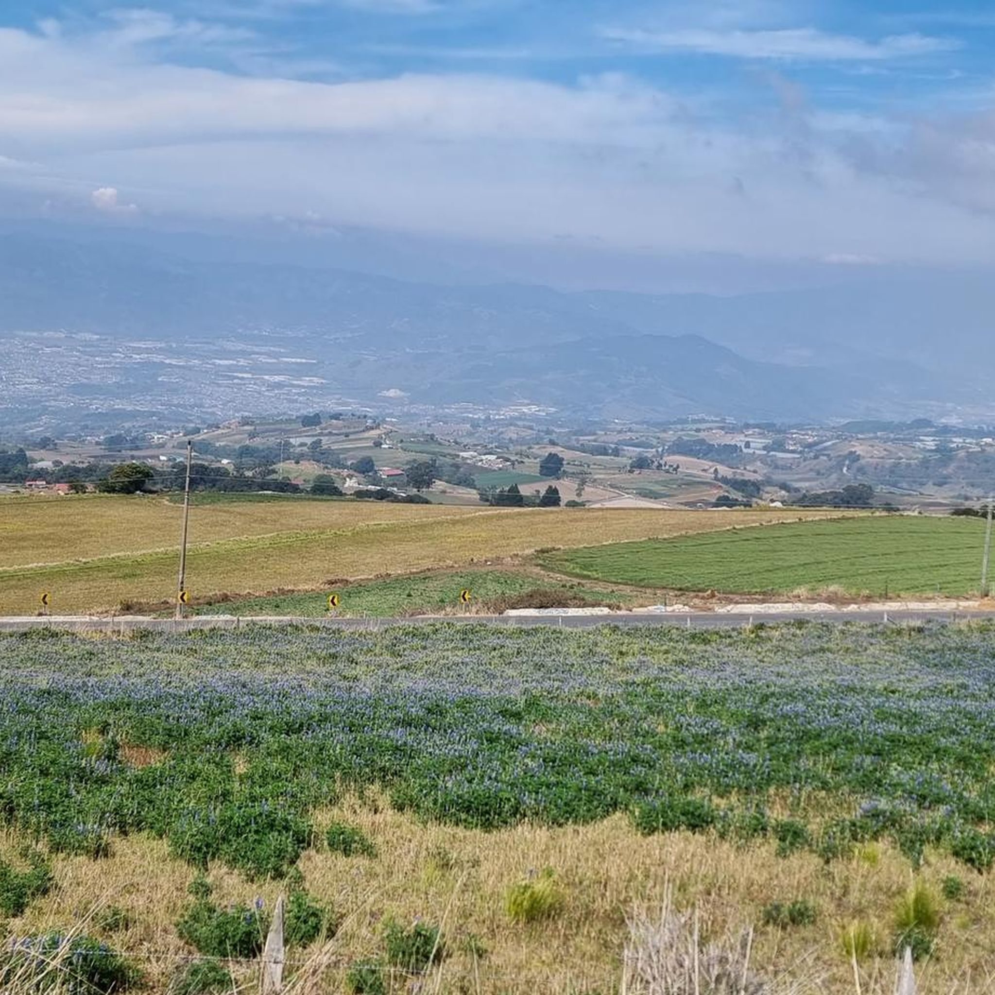
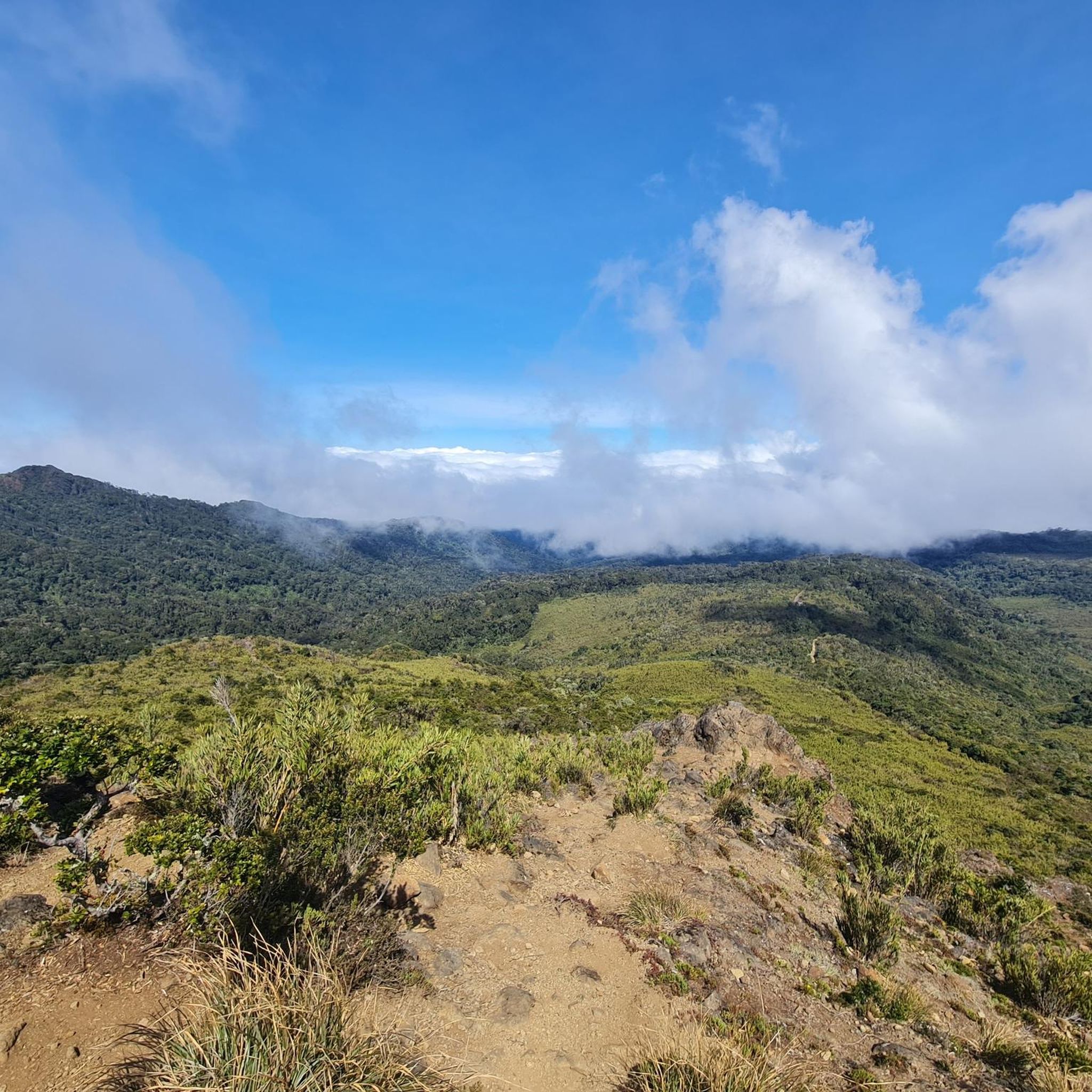

Tips from the Community

Going in the summer helps you appreciate the place.
0
1
The place is very spacious, it is recommended to go in summer for good photos, completely pedalable. You can see the video "Basilica de los Angeles" on our Official Channel "BIKERS COSTA RICA" https://www.facebook.com/reel/1191863962050845
0
1
Frequently Asked Questions
What is the general difficulty level for road cycling in Parque Nacional Tapantí - Macizo Cerro De La Muerte?
Road cycling in this region is primarily challenging, characterized by significant elevation changes and high-altitude terrain. Most routes are classified as difficult, with one moderate option available. Cyclists should expect demanding climbs and descents.
Are there any beginner-friendly road cycling routes in Parque Nacional Tapantí - Macizo Cerro De La Muerte?
While the region is known for its challenging terrain, there is one moderate route suitable for those looking for a less strenuous option: the Mirador de Orosi loop from Orosi. This 31.0 km path leads through the scenic Orosi Valley.
What are some of the most challenging road cycling routes in the Macizo Cerro De La Muerte area?
For experienced cyclists seeking a significant challenge, routes like the Cerro de la Muerte Summit loop from Río Peje stand out. This route covers over 100 km with more than 3,000 meters of elevation gain, offering an intense high-altitude experience.
What kind of distances can I expect on road cycling routes in Parque Nacional Tapantí?
The road cycling routes in this region vary in length, catering to different endurance levels. You can find routes ranging from approximately 30 km, such as the Mirador de Orosi loop from Orosi, up to over 100 km for more ambitious rides like the Cerro de la Muerte Summit loop from Río Peje.
Are there any circular road cycling routes available in Macizo Cerro De La Muerte?
Yes, many of the routes in the region are designed as loops, allowing you to start and finish at the same point. Examples include the Cerro de la Muerte Summit loop from Los Chespiritos 3 and the Roadbike loop from Restaurante El Alcón.
What are some scenic viewpoints or attractions along the road cycling routes?
The region offers numerous scenic spots. Along your rides, you might encounter natural beauty like the Tree Ferns on Tapantí Rainforest Trail or the Río Orisí in Tapantí National Park. The Mirador de Orosi loop from Orosi specifically offers stunning views of the Orosi Valley.
What is the best time of year for road cycling in Parque Nacional Tapantí - Macizo Cerro De La Muerte?
The dry season, typically from December to April, is generally considered the best time for road cycling. During these months, you can expect more stable weather conditions and less rainfall, making the mountainous roads more enjoyable and safer for cycling.
What kind of weather conditions should I prepare for when road cycling in this high-altitude region?
Due to the high altitude of Macizo Cerro De La Muerte, weather can change rapidly. Expect cooler temperatures, especially at higher elevations and during descents, even on sunny days. Rain and fog are possible year-round, so it's advisable to carry layers, waterproof gear, and be prepared for varying conditions.
Are there any cafes or places to refuel near the road cycling trails in Parque Nacional Tapantí?
While specific cafes directly on every trail might be limited, routes often pass through or near small towns and villages where you can find local eateries and shops to refuel. For example, the Roadbike loop from Restaurante El Alcón suggests a starting point near a restaurant, indicating available amenities.
What do other road cyclists enjoy the most about road cycling in Parque Nacional Tapantí - Macizo Cerro De La Muerte?
The area is highly rated by the komoot community, with an average score of 5.0 stars. Reviewers often praise the challenging high-altitude climbs, the winding roads through natural park landscapes, and the rewarding scenic views that define the region's unique road cycling experience.
What should I wear for road cycling in Parque Nacional Tapantí - Macizo Cerro De La Muerte?
Given the significant elevation changes and potential for varied weather, layering is key. Wear moisture-wicking base layers, a cycling jersey, and bring a windproof and waterproof jacket. Arm and leg warmers are also recommended for cooler mornings or descents. Don't forget a helmet, gloves, and appropriate cycling shoes.
Most popular routes in Parque Nacional Tapantí - Macizo Cerro De La Muerte
Most popular attractions in Parque Nacional Tapantí - Macizo Cerro De La Muerte

Get inspired with the komoot mobile app


Explore more
Browse the best Road cycling routes in other regions.
