The best cycling routes in Volcán De Agua
4.8
(6)
70
riders
13
rides
Touring cycling in Volcán De Agua features routes that navigate the slopes of the stratovolcano, offering varied elevation profiles. The region is characterized by its volcanic landscapes, fertile valleys, and surrounding agricultural areas. Trails often include significant ascents and descents, providing challenging rides through diverse environments. The area's terrain includes pine forests, coffee plantations, and cornfields, with views of the Guatemalan Highlands and other volcanoes.
Best touring cycling routes in Volcán De Agua
- The most popular touring cycling route is…
Last updated: August 25, 2026
7
riders
14.6km
02:07
980m
980m
Hard bike ride. Very good fitness required. Mostly paved surfaces. Suitable for all skill levels.
5
riders
24.2km
02:03
790m
790m
Hard bike ride. Very good fitness required. Mostly paved surfaces. Suitable for all skill levels.

Sign up for free
4.0
(1)
18
riders
30.7km
02:00
240m
240m
Moderate bike ride. Good fitness required. Mostly paved surfaces. Suitable for all skill levels.
5.0
(1)
11
riders
17.5km
01:02
80m
80m
Easy bike ride. Great for any fitness level. Mostly paved surfaces. Suitable for all skill levels.
6
riders
38.6km
03:08
820m
820m
Hard bike ride. Very good fitness required. Mostly paved surfaces. Suitable for all skill levels.
Get access to more routes and recommendations from other explorers.
Sign up for free
Already have an account?
Our route recommendations are based on thousands of hikes, rides, and runs completed by other people on komoot.
Start today with a free account
Your next adventure awaits.
Login or Signup
Popular around Volcán De Agua
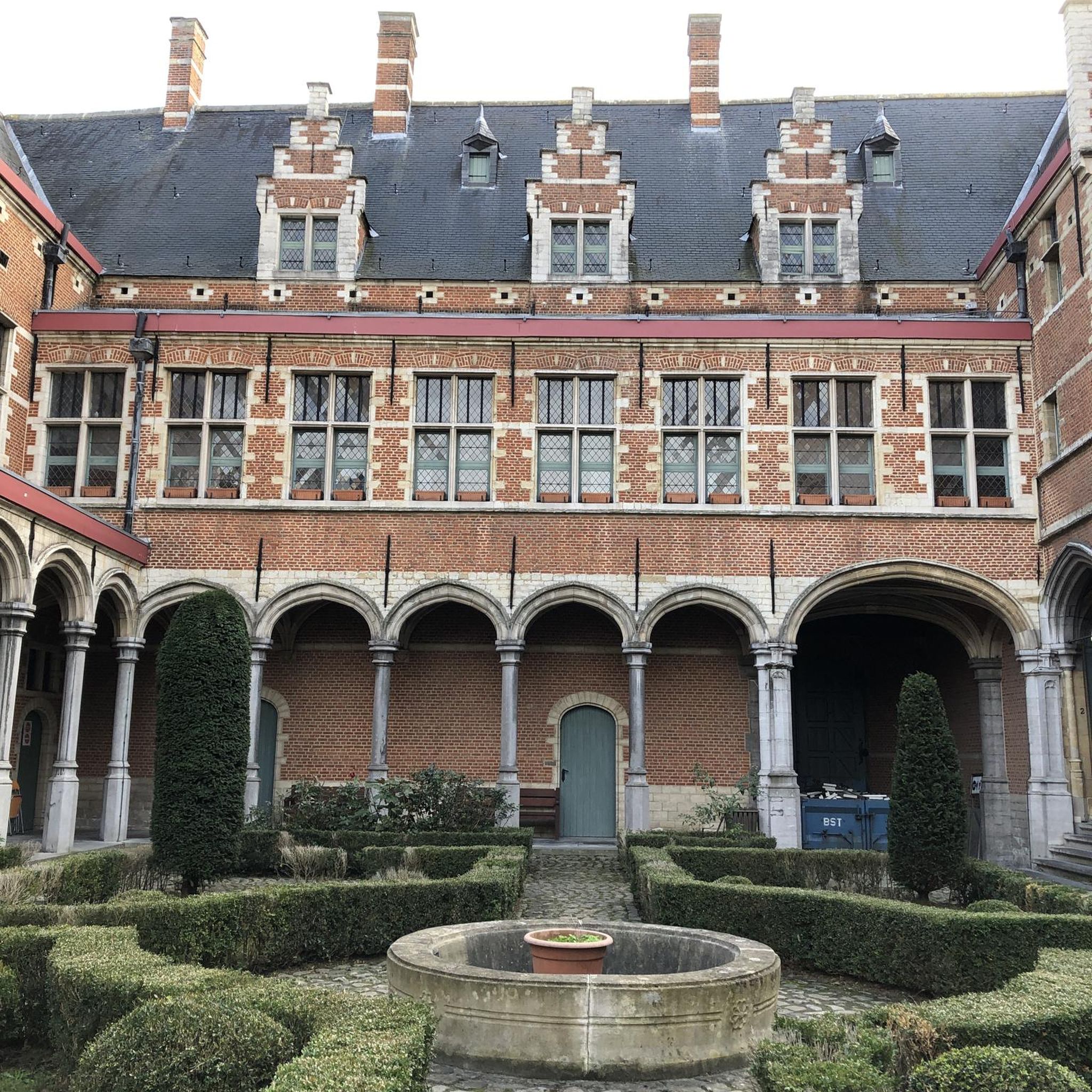
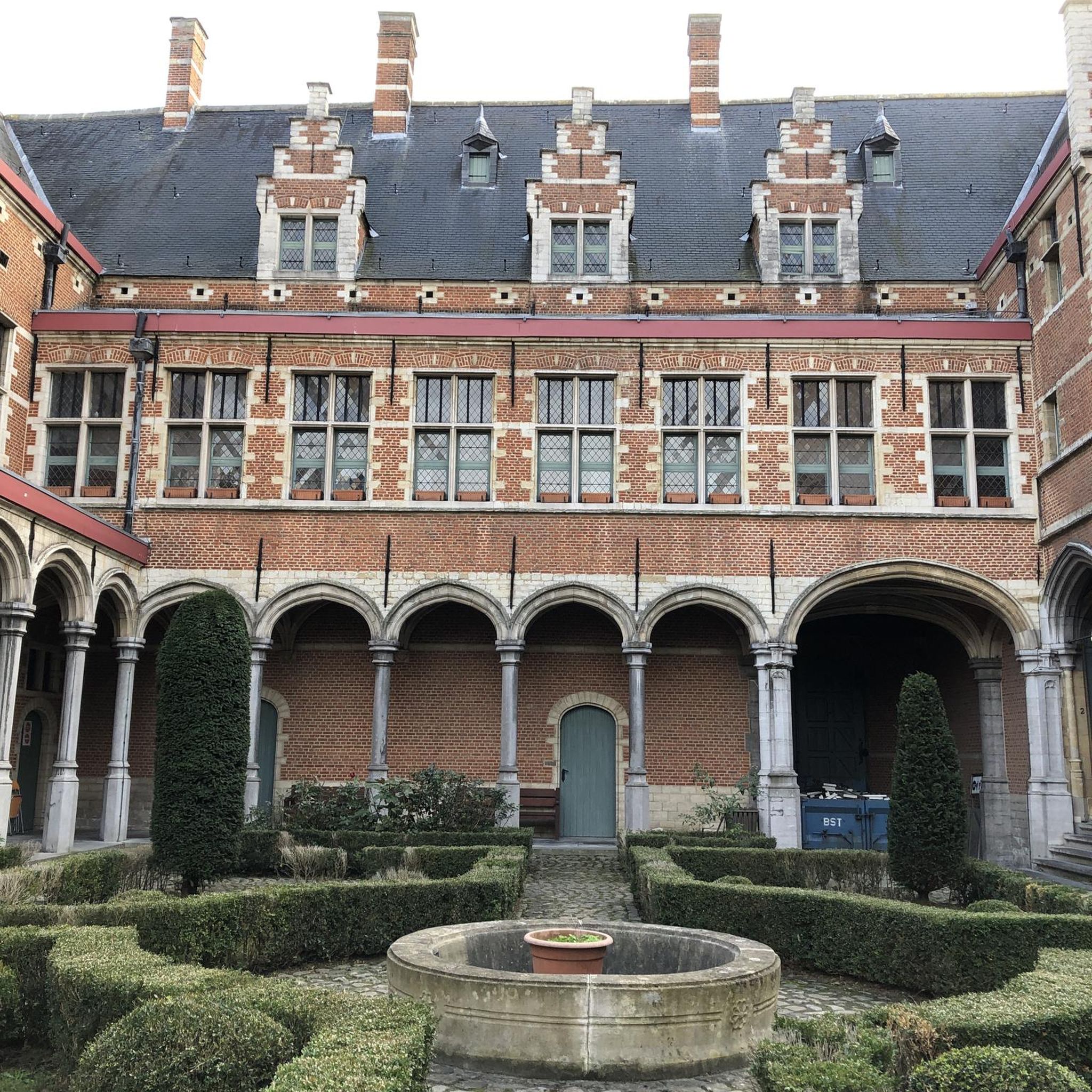

Tips from the Community

Right next to Plaza Central, a beautiful square with a park in the middle of the city
1
0
Located on the central square of Antigua in Guatemala. It serves as the headquarters of the Guatemalan Institute of Tourism, the Antigua Tourism Association, the National Police, and the Government of the Department of Sacatepquez. Wikipedia
2
0

The Palacio de los Capitanes Generales was the administrative headquarters of the Spanish colonial government. The building on the Parque Central was built in 1558, was damaged several times by earthquakes and is now a cultural center.
4
0

A wonderfully green park in the heart of the city. Sitting on one of the benches you can watch the hustle and bustle around you.
1
0

A place to take a short break and take pictures
0
0
Clean and safe place for a photo session with friends
0
0


public washing area (so-called pila) in the district of San Pedro Las Huertas offers ample opportunity for gossip and gossip
1
0
Frequently Asked Questions
How many touring cycling routes are available in Volcán De Agua?
There are 14 touring cycling routes in Volcán De Agua. These routes navigate the slopes of the stratovolcano, offering varied elevation profiles through volcanic landscapes, fertile valleys, and agricultural areas.
Are there any easy touring cycling routes for beginners in Volcán De Agua?
Yes, Volcán De Agua offers a few easier routes suitable for beginners. An example is the Santa Isabel Church – Ciudad Vieja loop from Hacienda de las Flores, which is 10.8 miles (17.5 km) long and leads through agricultural lands and local communities.
What are some challenging touring cycling routes for experienced riders?
For experienced riders seeking a challenge, the region features routes with significant elevation changes. The Cerro El Cucurucho loop from Fuentes del Valle San Miguel is a difficult 8.7-mile (14.0 km) trail with substantial elevation gain through mountainous terrain.
Are there any loop trails for touring cyclists in Volcán De Agua?
Many of the touring cycling routes in Volcán De Agua are designed as loops. For instance, the Ciudad Vieja loop from Santa Catarina Barahona is a moderate 17.9-mile (28.8 km) path that traverses varied landscapes.
What is the typical duration for a touring cycling route in Volcán De Agua?
The duration varies significantly depending on the route's length and difficulty. For example, the moderate Comedor Entrada de Dueñas – Santa Isabel Church loop from Antigua Guatemala is about 19.7 miles (31.7 km) and typically takes around 2 hours 3 minutes to complete.
What kind of terrain can I expect on touring cycling routes around Volcán De Agua?
You can expect diverse terrain, including volcanic slopes, fertile valleys, and agricultural areas. Routes often feature significant ascents and descents, providing challenging rides through varied environments.
What do other touring cyclists enjoy most about cycling in Volcán De Agua?
The area is highly rated by the komoot community, with an average score of 4.9 stars from over 7 reviews. Reviewers often praise the unique volcanic landscapes and the varied challenges offered by the routes.
Are there any routes starting from Antigua Guatemala?
Yes, there are routes that start from or near Antigua Guatemala. An example is the Bike loop from Antigua Guatemala, which is a difficult 11.6-mile (18.7 km) route.
What should I bring for a touring bike tour in Volcán De Agua?
Given the varied terrain and potential for significant elevation changes, it's advisable to bring appropriate gear for touring cycling, including water, snacks, sun protection, and repair tools. Checking weather conditions beforehand is also recommended.
What is the best time of year to go touring cycling in Volcán De Agua?
While specific seasonal recommendations can vary, generally, the dry season (typically November to April) offers more stable weather conditions for cycling in the region, avoiding heavy rains that can impact trail conditions.
Are there cafes or places to stop near the touring cycling routes?
Many routes pass through or near local communities and agricultural areas, which may offer opportunities for refreshments. Planning your route in advance can help identify potential stops along the way.

Get inspired with the komoot mobile app


