The best road cycling routes in Volcán De Cerro Quemado
5.0
(41)
85
riders
10
rides
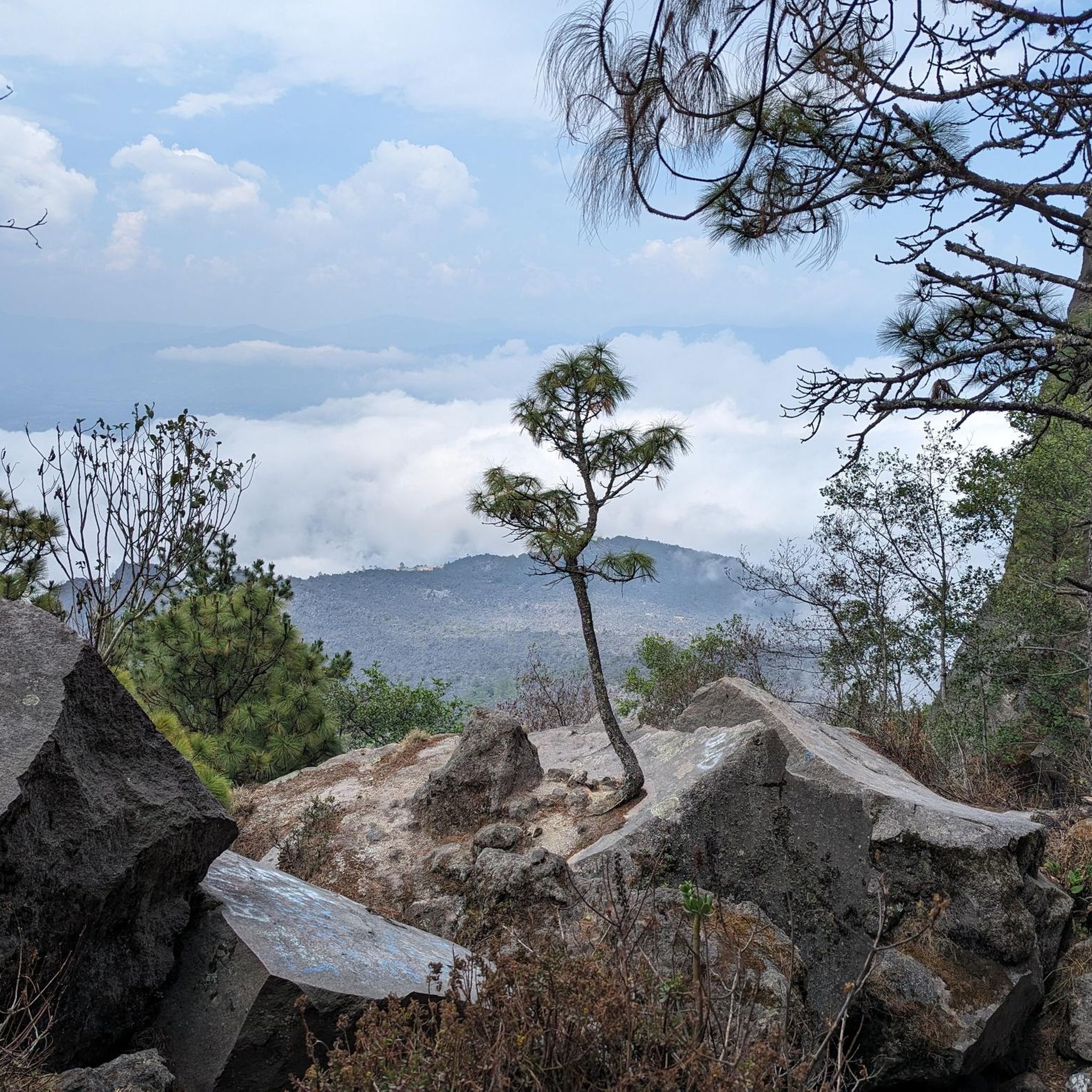
Road cycling in Volcán De Cerro Quemado features routes traversing a volcanic landscape in the highlands of Quetzaltenango. The region is characterized by significant elevation changes, offering challenging climbs and descents. Road cyclists can expect views of the surrounding mountains and valleys, with routes often leading to prominent viewpoints. The terrain primarily consists of paved roads winding through this elevated natural environment.
Best road cycling routes in Volcán De Cerro Quemado
- The most popular road cycling route is Rudolf Walther…
Last updated: July 5, 2026
5.0
(21)
25
riders
70.9km
03:44
1,060m
1,060m
Hard road ride. Very good fitness required. Mostly well-paved surfaces and easy to ride.
5.0
(7)
15
riders
51.6km
02:51
910m
910m
Hard road ride. Very good fitness required. Mostly well-paved surfaces and easy to ride.

Sign up for free
5.0
(4)
12
riders
116km
06:52
2,540m
2,540m
Hard road ride. Very good fitness required. Some segments of this route may be unpaved and difficult to ride.
3
riders
31.5km
01:48
600m
600m
Moderate road ride. Good fitness required. Mostly well-paved surfaces and easy to ride.
5.0
(1)
3
riders
61.4km
03:20
970m
970m
Hard road ride. Very good fitness required. Mostly well-paved surfaces and easy to ride.
Get access to more routes and recommendations from other explorers.
Sign up for free
Already have an account?
Our route recommendations are based on thousands of hikes, rides, and runs completed by other people on komoot.
Start today with a free account
Your next adventure awaits.
Login or Signup
Popular around Volcán De Cerro Quemado

Frequently Asked Questions
How many road cycling routes are available in Volcán De Cerro Quemado?
There are 10 road cycling routes documented in Volcán De Cerro Quemado on komoot. These routes cater to various skill levels, with 3 easy, 2 moderate, and 5 difficult options.
Are there any beginner-friendly road cycling routes in Volcán De Cerro Quemado?
Yes, Volcán De Cerro Quemado offers several routes suitable for beginners. While specific easy routes are not detailed here, the region does feature options with less strenuous elevation changes, allowing newer riders to enjoy the volcanic landscape.
What are some challenging road cycling routes for experienced riders?
Experienced road cyclists will find plenty of challenging options. For instance, the Rudolf Walther Viewpoint – Mirador El Carmen loop from Quetzaltenango is a difficult 71.9-mile (115.7 km) trail with significant elevation gain, typically taking nearly 7 hours to complete. Another demanding ride is the Rudolf Walther Viewpoint loop from Zunil, covering 44.0 miles (70.9 km) with substantial climbing.
What is the typical duration for road cycling routes in Volcán De Cerro Quemado?
Route durations vary significantly based on distance and elevation. Shorter, moderate routes like the Cerro La pedrera loop from Quetzaltenango can be completed in around 1 hour 48 minutes. Longer, more difficult routes, such as the Rudolf Walther Viewpoint – Mirador El Carmen loop from Quetzaltenango, can take upwards of 6 hours 52 minutes.
Are there any loop routes for road cycling in the area?
Yes, many of the road cycling routes in Volcán De Cerro Quemado are designed as loops, offering a continuous ride without needing to retrace your path. Examples include the Rudolf Walther Viewpoint loop from Quetzaltenango and the Mirador El Carmen – Rudolf Walther Viewpoint loop from Quetzaltenango.
What is the best season for road cycling in Volcán De Cerro Quemado?
Given its high-altitude volcanic landscape, the dry season, typically from November to May, offers the most favorable conditions for road cycling. During this period, you can expect clearer skies and less rainfall, making for more enjoyable rides and better visibility of the panoramic views.
What kind of terrain can I expect on road cycling routes here?
Road cycling in Volcán De Cerro Quemado is characterized by paved roads winding through a volcanic landscape. You should expect significant elevation changes, including challenging climbs and rewarding descents. The terrain offers continuous views of mountains and valleys, often leading to prominent viewpoints.
What do other road cyclists enjoy most about the routes in Volcán De Cerro Quemado?
The komoot community highly rates the road cycling experience in Volcán De Cerro Quemado, with an average score of 5.0 stars from over 40 reviews. Riders frequently praise the challenging climbs, the unique volcanic scenery, and the panoramic viewpoints that offer stunning vistas of the surrounding highlands.
Are there scenic viewpoints along the road cycling routes?
Absolutely. The routes in Volcán De Cerro Quemado are known for leading to prominent scenic viewpoints. Many routes, such as those incorporating the Rudolf Walther Viewpoint or Mirador El Carmen, are specifically designed to showcase the breathtaking mountain and valley panoramas of the region.
Is public transport available to access road cycling routes in Volcán De Cerro Quemado?
While specific public transport options directly to trailheads are not detailed, Quetzaltenango serves as a major hub in the region. From there, local transport or taxis may be available to reach starting points for routes like the Cerro La pedrera loop from Quetzaltenango.
Are there any cafes or places to refuel near the road cycling trails?
Given the routes often start or pass through towns like Quetzaltenango or Zunil, you can typically find local eateries, shops, and cafes to refuel and rest. It's advisable to carry sufficient water and snacks, especially on longer routes that venture into more remote sections of the volcanic landscape.
Most popular routes in Volcán De Cerro Quemado

Get inspired with the komoot mobile app


Explore more
Browse the best Road cycling routes in other regions.
