Area Protegida Volcán Santa María Y Volcán Santiaguito
Area Protegida Volcán Santa María Y Volcán Santiaguito
The best cycling routes in Area Protegida Volcán Santa María Y Volcán Santiaguito
5.0
(3)
91
riders
11
rides
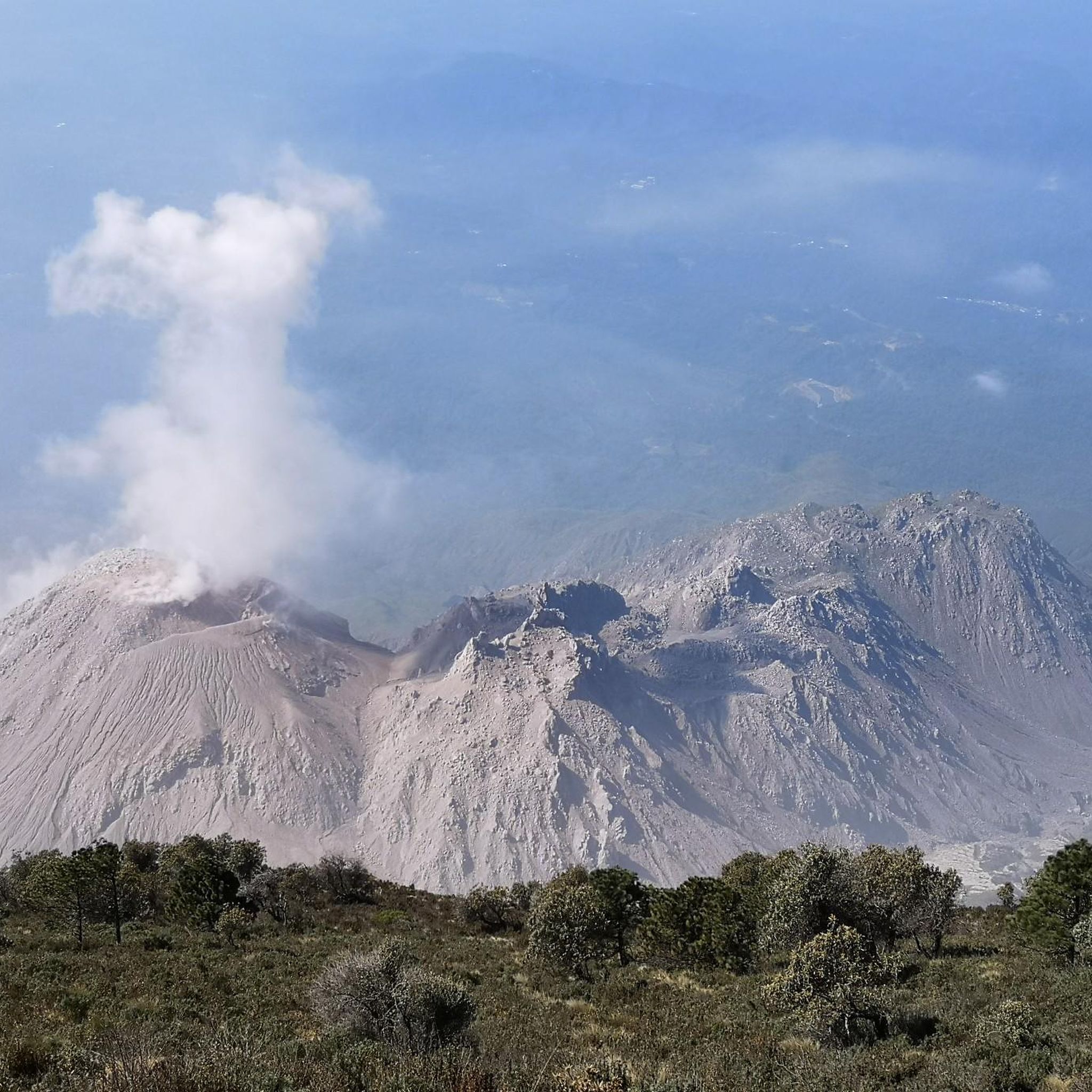
Touring cycling in Area Protegida Volcán Santa María Y Volcán Santiaguito offers routes through a landscape shaped by volcanic activity, featuring varied elevations and natural terrain. The region is characterized by mountainous areas, providing challenging ascents and scenic descents. Cyclists can expect to navigate trails that traverse the foothills of the Santa María and Santiaguito volcanoes, with views of the surrounding natural environment. The area's topography includes lush forests on lower slopes and more barren, rocky upper regions.
Best touring…
Last updated: July 5, 2026
4
riders
13.9km
01:31
570m
570m
Hard bike ride. Very good fitness required. Mostly paved surfaces. Suitable for all skill levels.
17
riders
14.4km
01:15
370m
370m
Moderate bike ride. Good fitness required. Mostly paved surfaces. Suitable for all skill levels.

Sign up for free
2
riders
53.8km
04:03
1,130m
1,130m
Hard bike ride. Very good fitness required. Mostly paved surfaces. Suitable for all skill levels.
5.0
(1)
12
riders
24.3km
01:36
220m
220m
Hard bike ride. Good fitness required. You may need to push your bike for some segments of this route.
5.0
(1)
9
riders
33.7km
02:21
420m
420m
Moderate bike ride. Good fitness required. Mostly paved surfaces. Suitable for all skill levels.
Get access to more routes and recommendations from other explorers.
Sign up for free
Already have an account?
Our route recommendations are based on thousands of hikes, rides, and runs completed by other people on komoot.
Start today with a free account
Your next adventure awaits.
Login or Signup
Popular around Area Protegida Volcán Santa María Y Volcán Santiaguito

Tips from the Community


Frequently Asked Questions
How many touring cycling routes are available in Area Protegida Volcán Santa María Y Volcán Santiaguito?
There are 12 touring cycling routes documented in Area Protegida Volcán Santa María Y Volcán Santiaguito on komoot. These routes offer a variety of experiences through the volcanic landscape.
What is the general difficulty level of touring cycling routes in this region?
The touring cycling routes in Area Protegida Volcán Santa María Y Volcán Santiaguito are predominantly challenging. There are 8 difficult routes and 4 moderate routes, with no easy routes listed. Cyclists should be prepared for significant elevation changes and volcanic terrain.
What do other touring cyclists say about the routes in Area Protegida Volcán Santa María Y Volcán Santiaguito?
The routes in Area Protegida Volcán Santa María Y Volcán Santiaguito are highly rated by the komoot community, with an average score of 5.0 stars from 5 reviews. Cyclists often praise the unique volcanic landscapes and the challenging yet rewarding ascents and descents.
Are there any beginner-friendly touring cycling routes in the Volcán Santa María area?
While there are no routes officially classified as 'easy' for touring cycling in this region, some moderate options might be suitable for beginners with a good fitness level. For example, the In Case I Get Lost loop from Centro Histórico is rated moderate and offers a balanced ride.
Are there any circular touring cycling routes in Area Protegida Volcán Santa María Y Volcán Santiaguito?
Yes, many of the touring cycling routes in this region are designed as loops. Examples include the popular Bike loop from Zona 10 and the In Case I Get Lost loop from Quetzaltenango, allowing you to start and finish at the same point.
What is the best time of year for touring cycling in Volcán Santa María Y Santiaguito?
The dry season, typically from November to April, is generally considered the best time for touring cycling in this region. During these months, you'll experience less rainfall and more stable weather conditions, which are ideal for navigating the volcanic terrain.
Are there any particularly challenging touring cycling routes for experienced riders?
Absolutely. The region is known for its difficult routes due to significant elevation changes. The Molino El Quetzal – In Case I Get Lost loop from Quetzaltenango, covering 33.4 miles (53.8 km) with over 1100 meters of ascent, is a prime example for experienced touring cyclists seeking a demanding ride.
What kind of gear should I bring for touring cycling in Area Protegida Volcán Santiaguito?
Given the volcanic and mountainous terrain, it's advisable to bring a touring bicycle equipped with sturdy tires, good suspension, and reliable brakes. Essential gear includes a helmet, plenty of water, sun protection, layers of clothing for varying temperatures, and a repair kit. Navigation tools are also crucial, as some trails may be remote.
Are there places to eat or get refreshments near the bike trails?
While the immediate vicinity of the volcanic trails might have limited options, you'll find cafes and food establishments in nearby towns like Quetzaltenango (Xela) and Centro Histórico. It's recommended to plan your route to pass through these areas or carry sufficient snacks and water for longer stretches.
Is public transport available to access the touring cycling trails?
Public transport options, such as local buses (chicken buses), connect major towns like Quetzaltenango. However, direct access to specific trailheads might require a taxi or private transport. It's best to research local transport schedules and bike-carrying policies in advance if you plan to use public transport.
Do I need any special permits for biking the trails around Volcán Santa María?
While general access to the protected area for hiking and cycling typically doesn't require specific permits for day use, it's always wise to check with local authorities or park management for the most current regulations, especially if you plan to venture into very remote or restricted zones. Some areas might have entrance fees.
What kind of wildlife might I encounter while touring cycling in the Volcán Santa María area?
The Area Protegida Volcán Santa María Y Volcán Santiaguito is home to diverse ecosystems. Cyclists might spot various bird species, including hummingbirds and quetzals in higher elevations, as well as smaller mammals. Always maintain a respectful distance and avoid disturbing the natural habitat.
Most popular routes in Area Protegida Volcán Santa María Y Volcán Santiaguito

Get inspired with the komoot mobile app


Explore more
Browse the best Cycling routes in other regions.
