The best running trails in Blanchard State Forest
5.0
(3)
625
runners
28
runs
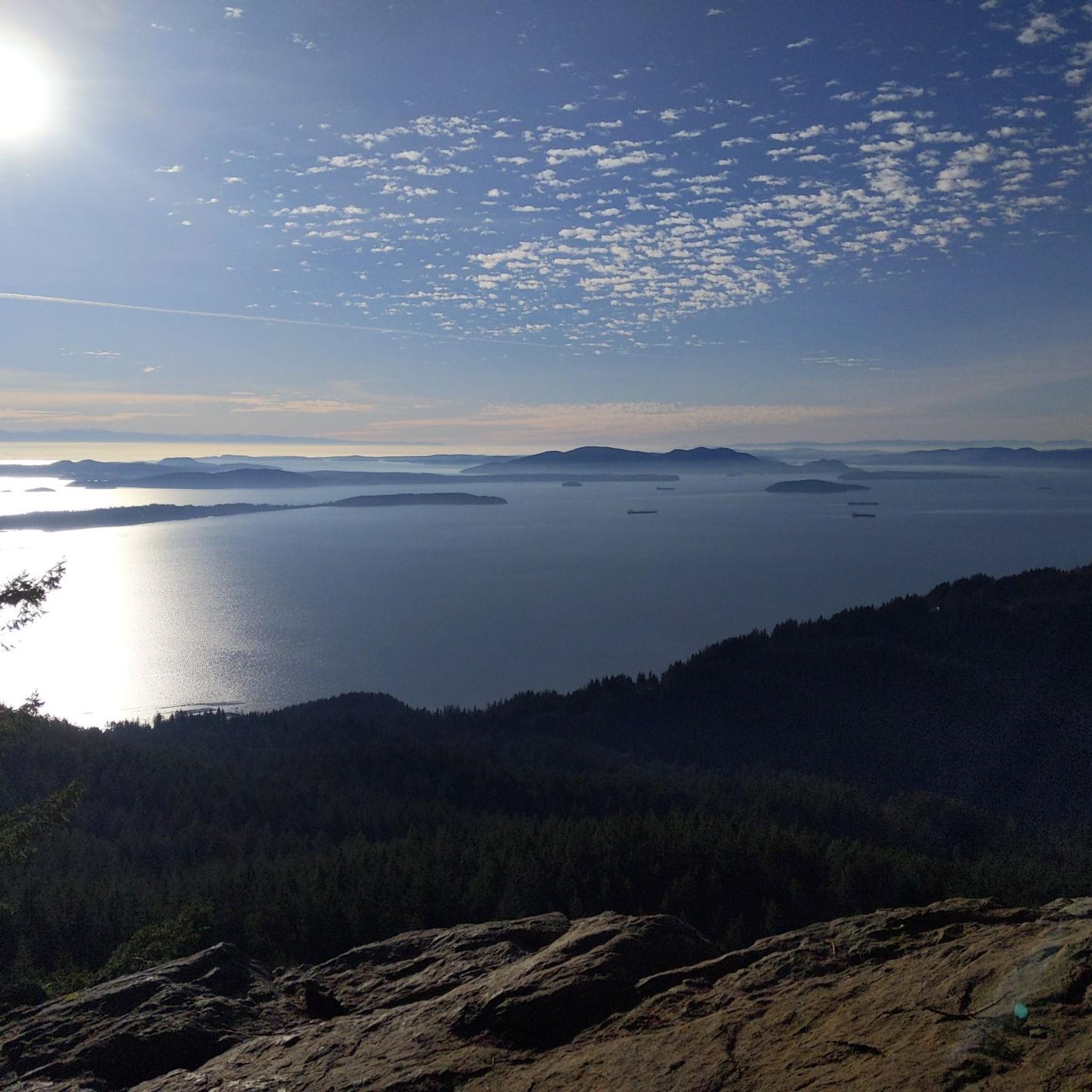
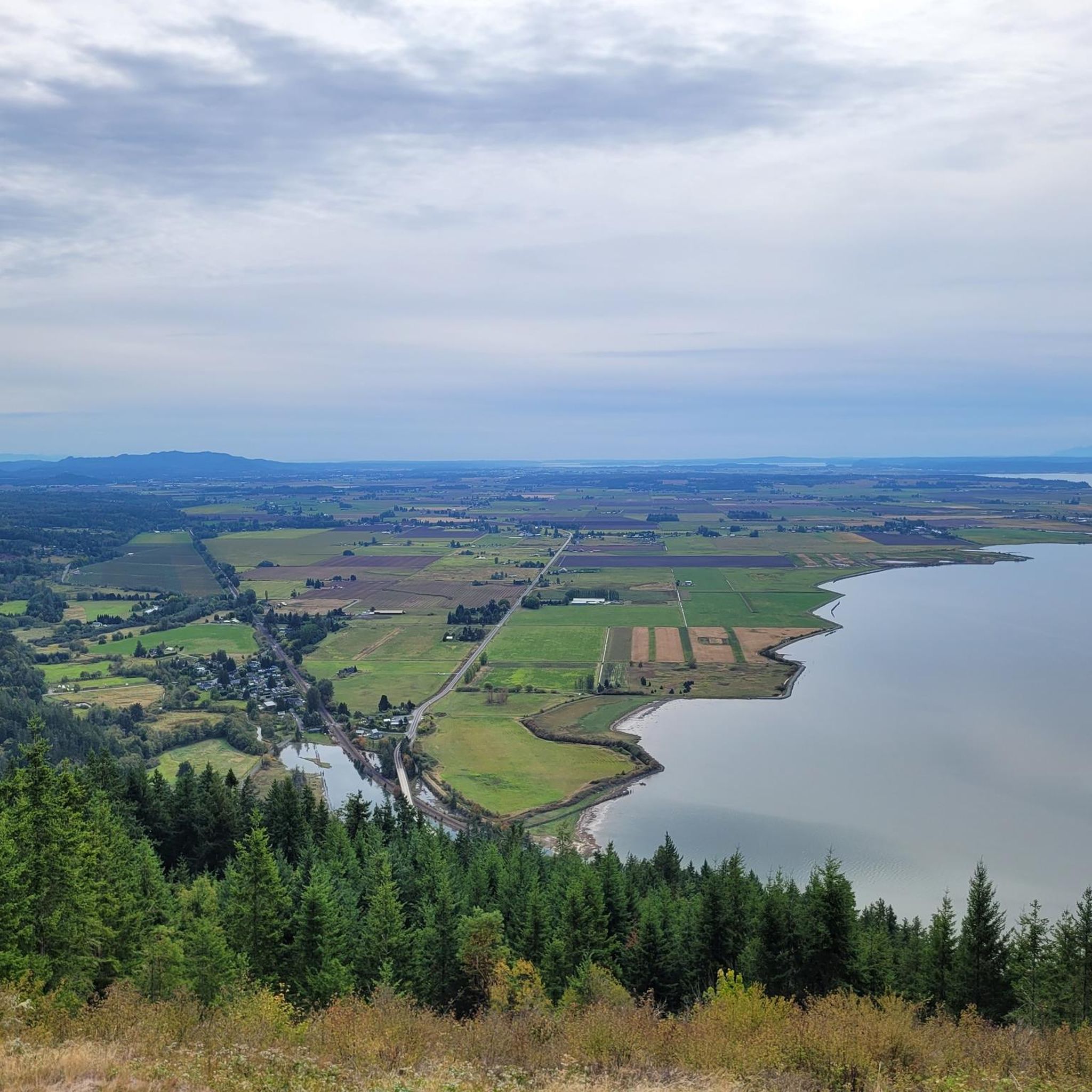
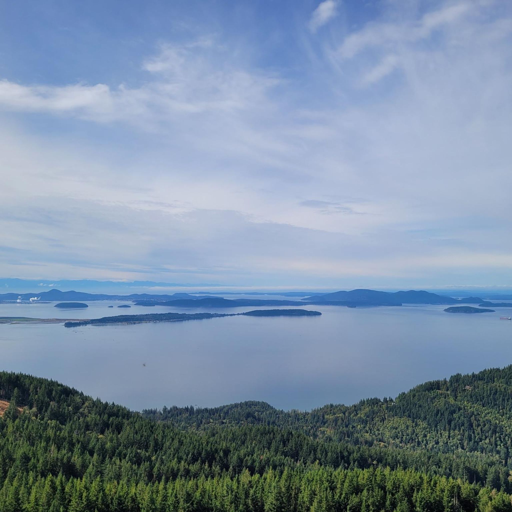
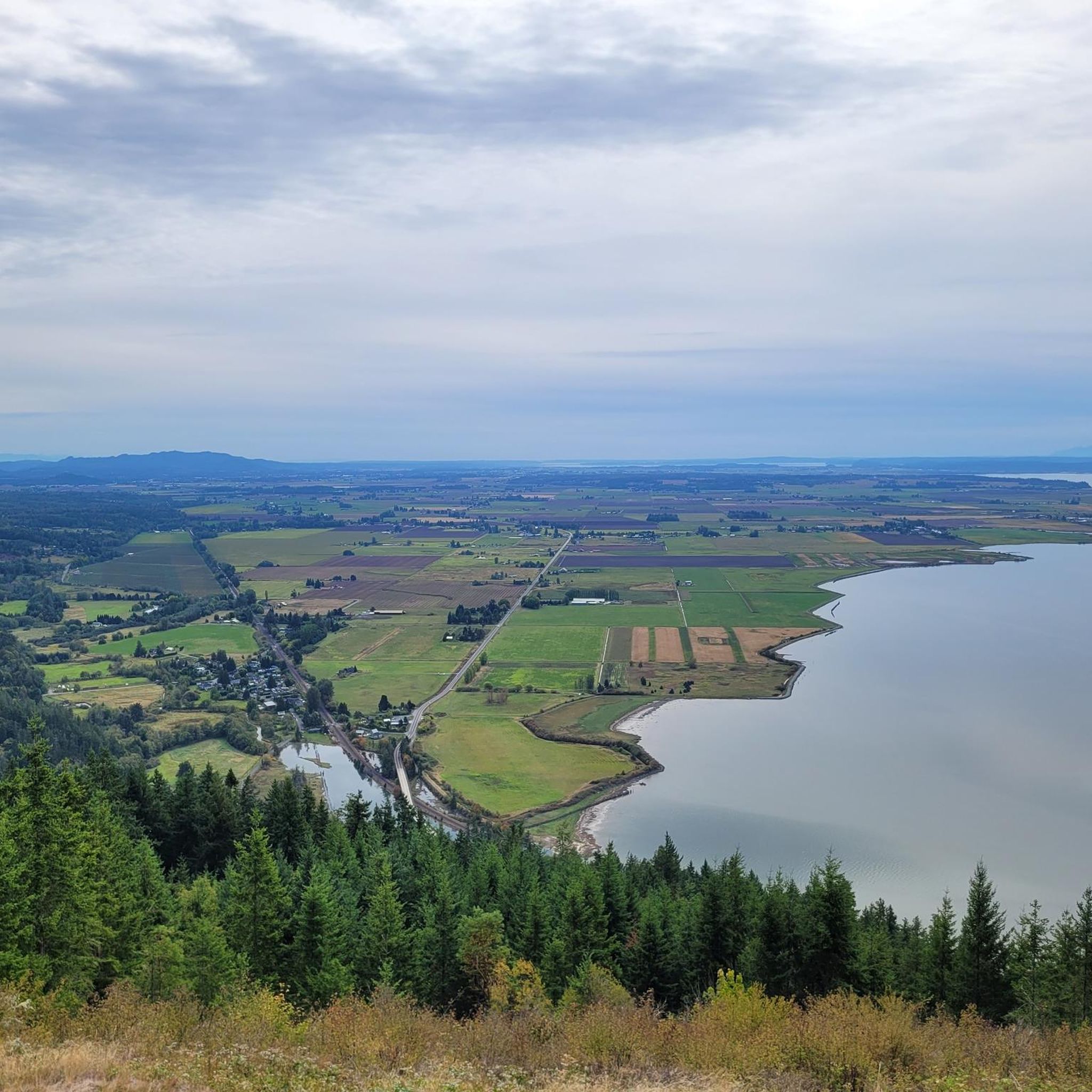
Jogging in Blanchard State Forest offers diverse landscapes, from varied age classes of trees to rock outcrops and pristine forest lakes. This 4,500-acre working forest provides a dynamic running environment with paths through ancient forests and replanted areas. Elevated points like Oyster Dome and Samish Overlook offer panoramic views of Samish Bay and the San Juan Islands. The region features a network of trails suitable for different fitness levels, where the Cascade Mountains meet the Salish Sea.
Best jogging routes…
Last updated: October 5, 2026
18
runners
20.6km
03:04
750m
750m
Hard run. Very good fitness required. Sure-footedness, sturdy shoes and alpine experience required.
4
runners
6.80km
00:43
80m
80m
Moderate run. Good fitness required. Mostly paved surfaces. Suitable for all skill levels.

10
runners
13.6km
01:25
100m
100m
Moderate run. Good fitness required. Mostly paved surfaces. Suitable for all skill levels.
4
runners
5.63km
00:36
70m
70m
Moderate run. Good fitness required. Mostly paved surfaces. Suitable for all skill levels.
5.0
(1)
47
runners
31.9km
04:14
1,090m
1,080m
Hard run. Very good fitness required. Mostly paved surfaces. Suitable for all skill levels.
Get access to more routes and recommendations from other explorers.
Already have an account?
Our route recommendations are based on thousands of hikes, rides, and runs completed by other people on komoot.
Start today with a free account
Your next adventure awaits.

Tips from the Community

Oyster Dome, located in Blanchard State Forest, is the highest point at 2,025 feet. Starting from Chuckanut Drive, the trail passes through old forests and former logging areas with abandoned equipment. It offers a steep hike to stunning views of the Salish Sea.
0
0

Situated at 1,410 feet, Chuckanut Mountain belongs to the Chuckanuts, or Chuckanut Mountains, which are part of the Cascades. This area is particularly special, as it is the only place where the Cascade Mountain Range descends to the sea. The summit can be reached via an out-and-back or loop trail without ever being too steep to keep up a good pace!
0
0

Blanchard State Forest encompasses 4,500 acres and is home to multiple lakes, ponds, streams, mountains, overlooks, and running trails. Some paths are flatter and wider, while others are tight singletrack on the side of a mountain. This is a great place to come for a long run with all the trail and loop options.
0
0

Lizard Lake is a pretty mountain lake located on Blanchard Mountain in the Chuckanuts. Take a break and enjoy the beautiful setting.
0
0

Enjoy the amazing views of Lake Samish and the deep greenery that surrounds the shores! The lake is open to fishing, boating, rowing, and you can even swim or rent pedal boats!
0
0

Traverse dirt paths through a forested wonderland, surrounded by lush trees in a truly serene setting.
0
0
Located just over a mile from Chuckanut Mountain, Raptor Ridge Viewpoint is a fanstastic spot to stop for a break. To reach the viewpoint, you will run through dense forest, occassionally offering views of Mount Baker. Once you reach the viewpoint, enjoy 180 degree views over the Chuckanut Mountains and endless lush forest.
0
0
Frequently Asked Questions
How many running routes are available in Blanchard State Forest?
Blanchard State Forest offers a wide selection of running routes, with over 30 distinct trails to explore. These routes cater to various fitness levels, ranging from easy paths to more challenging climbs.
Are there any easy jogging routes in Blanchard State Forest suitable for beginners?
Yes, Blanchard State Forest has options for all skill levels. While most routes are moderate to difficult, there is at least one easy jogging route available. For a moderate yet scenic experience, consider the Lake Samish – Lake Samish loop from Lake Samish, which is about 6.6 miles long and offers a less strenuous path around the lake.
What kind of views can I expect on the running trails in Blanchard State Forest?
Joggers in Blanchard State Forest can enjoy breathtaking panoramic views where the Cascade Mountains meet the Salish Sea. Elevated points like Samish Overlook and Oyster Dome Overlook offer stunning vistas of Samish Bay, the San Juan Islands, Vancouver Island, and even Mount Baker on clear days. The Burnout Knob Viewpoint loop from Lost Lake Trailhead Parking is a challenging route that rewards runners with excellent viewpoints.
Are there any routes that feature lakes or water bodies?
Absolutely! Blanchard State Forest is home to pristine forest lakes. The Lily Lake and Lizard Lake areas offer tranquil settings. For a beautiful run around a lake, the Lake Samish – Lake Samish loop from Lake Samish provides a scenic experience.
What are the typical distances and elevations of jogging routes in Blanchard State Forest?
The running routes in Blanchard State Forest vary significantly in length and elevation. You'll find paths ranging from shorter loops of around 3.5 miles to longer, more challenging trails over 12 miles. Elevation gains can also differ greatly, with some routes featuring gentle inclines and others, like the Burnout Knob Viewpoint loop, involving significant climbs of over 1,600 feet.
Is Blanchard State Forest suitable for family-friendly running or walking?
Blanchard State Forest offers a variety of trails, some of which are suitable for families. While many routes involve moderate to difficult terrain, there are gentler paths available. Look for routes with less elevation gain and shorter distances if jogging with children. The diverse landscape ensures there's something for everyone to enjoy.
Are dogs allowed on the jogging trails in Blanchard State Forest?
Yes, Blanchard State Forest is generally dog-friendly, making it a great place to run with your canine companion. However, it's always recommended to keep dogs on a leash and to check specific trail regulations before heading out to ensure a pleasant experience for everyone.
What do other runners enjoy most about jogging in Blanchard State Forest?
The komoot community highly rates the running experience in Blanchard State Forest, with an average score of 5.0 stars. Runners frequently praise the varied terrain, dense woodlands, and the stunning scenic forest lakes. The extensive network of trails offers options for all abilities, making it a popular choice for its diverse and rewarding environment.
Are there any specific attractions or points of interest along the running routes?
Beyond the natural beauty, several notable attractions enhance the running experience. You can visit the Samish Overlook for spectacular views, or explore the area around Lily Lake and Lizard Lake. The Samish Bay Connector Trail also offers access to various parts of the forest.
When is the best time of year to go running in Blanchard State Forest?
Blanchard State Forest is accessible year-round, but the best time for running is typically during the spring, summer, and fall months when the weather is milder and trails are generally drier. During winter, some trails might be muddy or have snow at higher elevations, so checking conditions beforehand is advisable. The diverse forest offers beautiful scenery in every season.
Are there any circular running routes in Blanchard State Forest?
Yes, many of the running routes in Blanchard State Forest are designed as loops, offering a convenient way to start and end your run at the same point. For example, the Lake Samish – Lake Samish loop from Lake Samish is a popular circular option, providing a scenic and continuous run.
What kind of wildlife might I encounter while running in Blanchard State Forest?
Blanchard State Forest is a vital habitat for various native plants and animals. While running, you might spot wildlife such as deer, owls, woodpeckers, and other bird species. The forest also supports salmon and trout in its waterways, contributing to a rich natural experience. Remember to observe wildlife from a distance and respect their natural environment.
Most popular routes in Blanchard State Forest
Most popular attractions in Blanchard State Forest

Get inspired with the komoot mobile app


Explore more
Browse the best Running Trails & Routes in other regions.
