The best running trails in Anacortes Community Forest Lands
4.3
(4)
242
runners
33
runs
Jogging in Anacortes Community Forest Lands offers an extensive network of trails across 2,950 acres within the city limits of Anacortes, Washington. The terrain is varied, encompassing forested hills, low mountains, and rocky cliffs, alongside wetlands, lakes, ponds, and meadows. Runners can explore mixed second-growth forests, with prominent features like Whistle Lake and Heart Lake integrated into the trail system. The area provides routes ranging from gentle lakeside paths to more challenging ascents towards peaks like Mount Erie and Sugarloaf.
…Last updated: July 7, 2026
4.0
(1)
10
runners
10.4km
01:18
190m
190m
Jog the moderate 6.5-mile Cranberry Lake Park loop trail in Anacortes Community Forest Lands, featuring lake views and lush forests.
5
runners
5.82km
00:41
110m
110m
The Whistle Lake Loop offers a diverse jogging experience through the stunning Anacortes Community Forest Lands, immersing you in a canopy of Douglas firs and Western red cedars. You'll navigate…

Sign up for free
12.7km
01:37
420m
420m
This difficult 7.9-mile jogging loop in Anacortes offers 1371 feet of elevation gain and panoramic views from Sugarloaf and Mount Erie.
5
runners
4.48km
00:33
60m
60m
Easy run. Great for any fitness level. Mostly paved surfaces. Suitable for all skill levels.
5.0
(1)
2
runners
8.77km
01:11
270m
270m
Jog the moderate 5.4-mile Five Wonders Trail in Deception Pass State Park, exploring historical sites and lush forests.
Get access to more routes and recommendations from other explorers.
Sign up for free
Already have an account?
Our route recommendations are based on thousands of hikes, rides, and runs completed by other people on komoot.
Start today with a free account
Your next adventure awaits.
Login or Signup
Popular around Anacortes Community Forest Lands
Tips from the Community

Mount Erie is the highest point on Fidalgo Island, topping out at 1,273 feet. The climb up is steep but paved, and the summit rewards you with big views. On clear days, you can spot Mount Baker to the northeast and Mount Rainier far off to the southeast. A solid goal for a road ride if you’re up for the challenge.
0
0

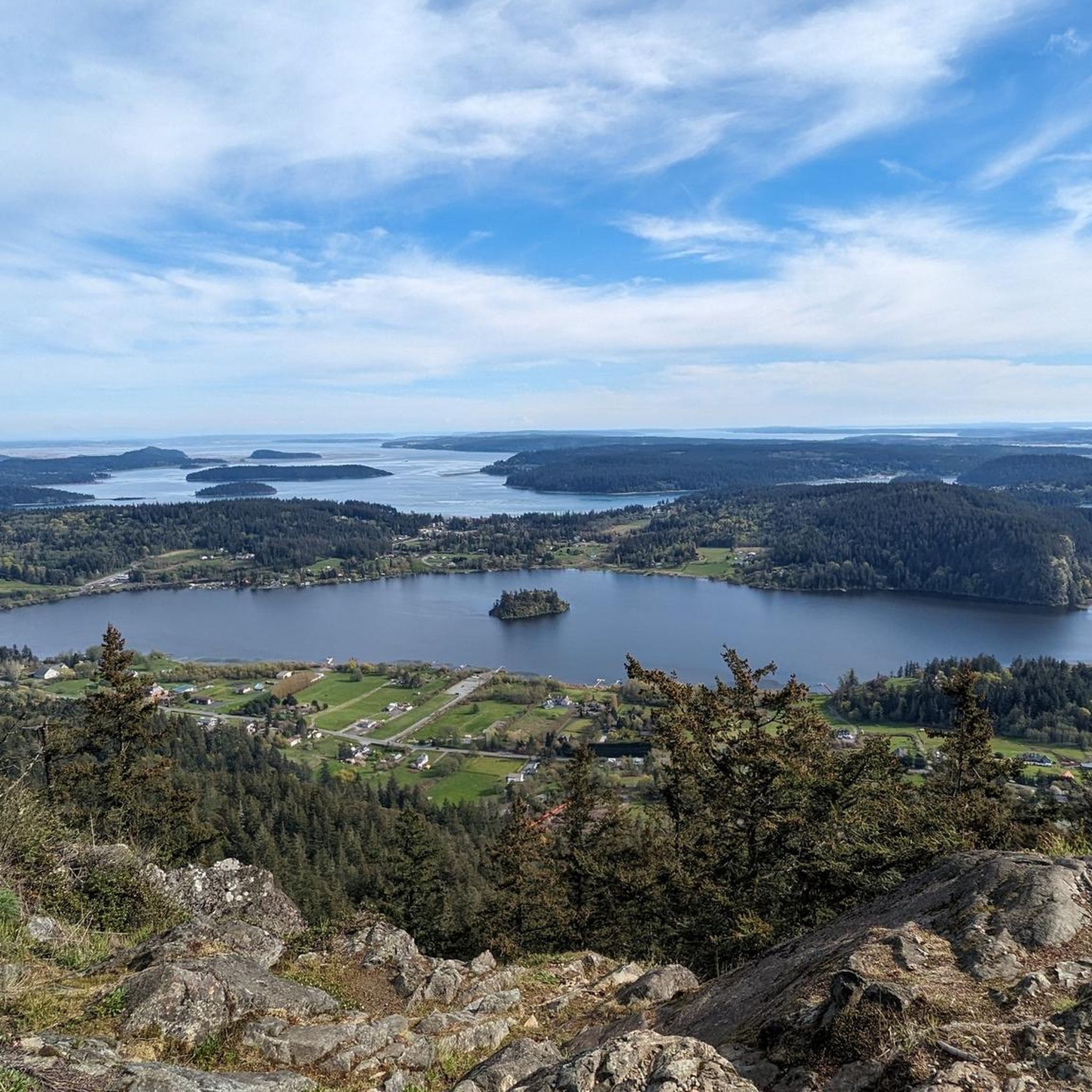
This trail, a serene sojourn through a verdant forest, doubles as a rewarding cardio and leg workout with its unswerving ascent. The summit, however, grants a view that's nothing short of spectacular. Sugarloaf, a prominent peak in the Anacortes Community Forest, gifts you with reasonably splendid views of Mount Erie and the graceful expanse of Burrows Bay.
0
0
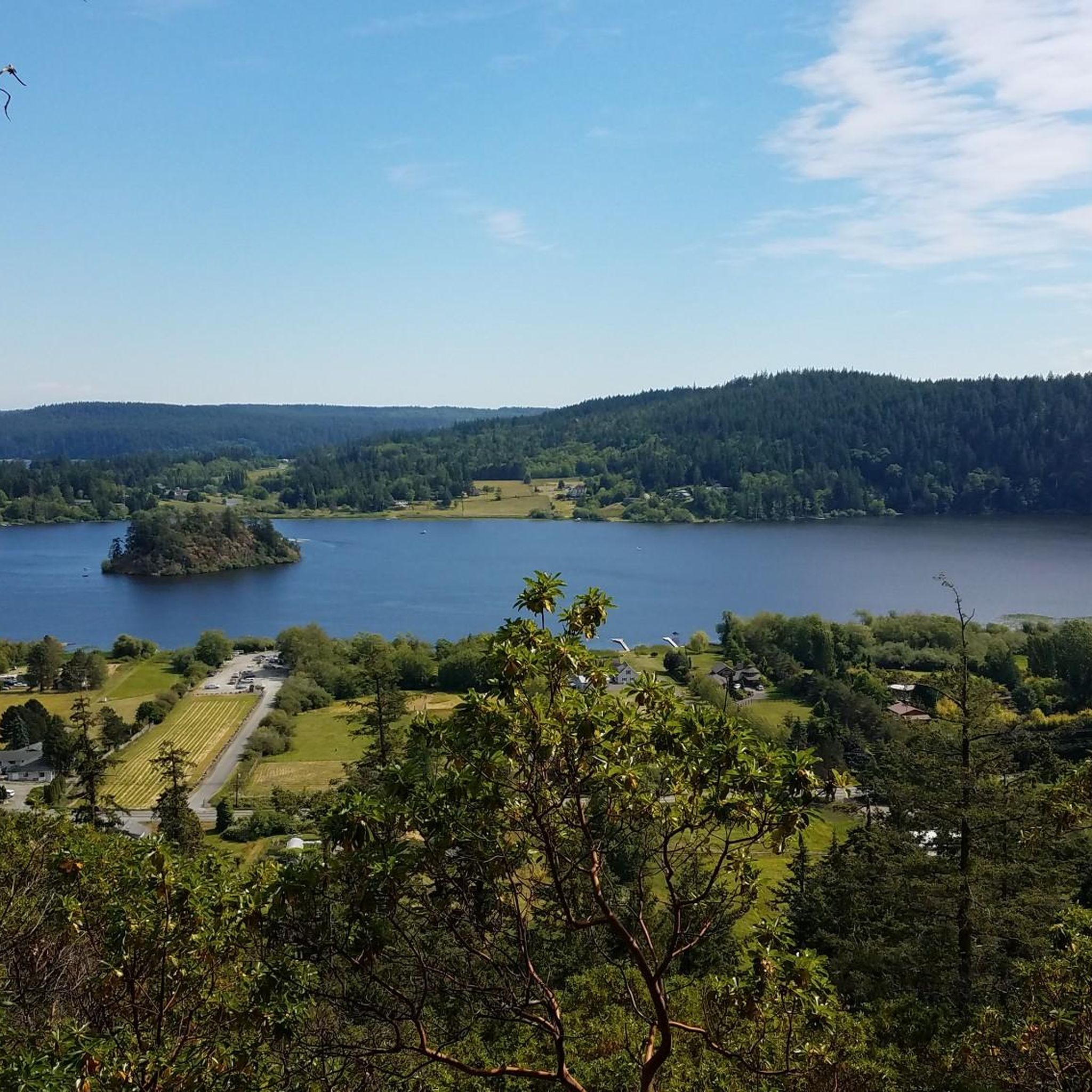
A magnet for thousands, the lake's idyllic backdrop and diverse trails lure adventurers. Swim and fish in the serene waters, while cliffs beckon daring divers with heights up to 70 feet (ca. 21 m)!
0
0
A sanctuary for paddlers and anglers, but its true magic lies in the ancient forest enveloping it. This 60-acre heart-shaped lake invites all, offering an embrace of nature's grandeur with towering Douglas-firs and majestic red cedars.
0
0
Cranberry Lake, a place of unrivaled beauty, beckons all who seek an easy, scenic trail with enticing swimming spots along the way. Cyclists find solace here, pedaling through the peaceful forest, relishing the lakeside views, and savoring the gentle to moderate challenges it offers.
1
0
Sprawling across 3,854 acres, this park embraces dual islands — Fidalgo to the north and Whidbey to the south. Bridges unite these lands, inviting exploration of 77,000 feet (23.47 km) of saltwater and 33,900 feet (10.33 km) of freshwater shoreline.
0
0
In 1841, Mount Erie earned its name from the Battle of Lake Erie. Explored by daring local climbers in the 1960s, it's famed for both rock climbing and its summit's breathtaking views. As Fidalgo Island's highest point at 1,273 feet, on clear days, one can behold Mount Baker to the northeast, a distant 43 miles away, and the majestic Mount Rainier to the southeast, an awe-inspiring 117 miles off.
0
0
Frequently Asked Questions
What types of running trails can I expect in the Anacortes Community Forest Lands?
The Anacortes Community Forest Lands offer a diverse range of running trails. You'll find everything from gentle lakeside paths, such as the Whistle Lake Loop, to more challenging ascents leading to prominent peaks like Mount Erie and Sugarloaf. The terrain includes forested hills, low mountains, rocky cliffs, wetlands, lakes, ponds, and meadows, ensuring a varied and engaging experience for runners.
Are there any easy or beginner-friendly running routes in the ACFL?
Yes, the ACFL provides several easy routes suitable for beginners. For instance, the Heart Lake – Heart Lake loop from Sugarloaf Trailhead is an easy option, offering a pleasant run around Heart Lake. Many lakeside trails are generally less strenuous and perfect for a relaxed jog.
What are some notable natural features or viewpoints I can see while running?
The Anacortes Community Forest Lands are rich in natural beauty. You can enjoy picturesque lakeside scenery around Heart Lake and Whistle Lake. For panoramic views, routes that ascend to Mount Erie and Sugarloaf offer expansive vistas of the surrounding landscape. The forests themselves are diverse, with mixed second-growth and even some old-growth areas, providing a beautiful backdrop for your run.
Are the running trails in Anacortes Community Forest Lands suitable for families?
Many trails within the ACFL are family-friendly, especially those around the lakes. The varied terrain means you can choose routes that are less strenuous and shorter, making them ideal for families with children. The extensive network allows for flexibility to pick a path that suits all fitness levels.
What is the policy on dogs on the running trails?
The Anacortes Community Forest Lands are generally dog-friendly, allowing you to bring your canine companion along for a run. However, it's always best to keep dogs on a leash and ensure you clean up after them to maintain the natural environment for all users.
How can I find my way around the extensive trail network?
Trail maps for the Anacortes Community Forest Lands are readily available to help you plan your adventures and navigate the extensive network of over fifty miles of trails. You can also use komoot's app for detailed route guidance and offline maps.
Are there any circular running routes available?
Yes, the ACFL features several excellent circular running routes. Popular options include the Cranberry Lake Park loop trail run, the Whistle Lake Loop, and the more challenging Heart Lake, Sugarloaf & Mount Erie loop, all designed to bring you back to your starting point.
What do other runners say about jogging in Anacortes Community Forest Lands?
The running routes in Anacortes Community Forest Lands are highly rated by the komoot community, with an average score of 4.25 stars from over 4 reviews. Runners often praise the extensive forest trails, scenic lakes, and the variety of challenges offered by the hills, making it a rewarding experience for all ability levels.
Is there parking available near the running trailheads?
Yes, there are various access points and parking areas around the Anacortes Community Forest Lands. Specific parking information can often be found on official ACFL maps or by checking individual route details on komoot.
What is the best time of year to go running in the ACFL?
The Anacortes Community Forest Lands are enjoyable year-round, but conditions vary seasonally. Spring and fall offer pleasant temperatures and vibrant scenery. Summer is great for longer days, but remember to stay hydrated. Winter running is possible, but trails might be wet or muddy, so appropriate footwear is recommended.
Are there any permits required to jog in the Anacortes Community Forest Lands?
No, generally, no permits are required for recreational activities like jogging within the Anacortes Community Forest Lands. It is a public resource managed by the city of Anacortes for community enjoyment. For any specific regulations or updates, you can refer to the official Anacortes city website: anacorteswa.gov.
How long are the running trails in the Anacortes Community Forest Lands?
The running trails in the ACFL vary significantly in length. You can find shorter loops, such as the Heart Lake – Heart Lake loop at around 2.8 miles (4.5 km), to longer, more challenging routes like the Heart Lake, Sugarloaf & Mount Erie loop, which spans approximately 7.9 miles (12.7 km). With over fifty miles of trails, there's a route length to suit every preference.
Most popular routes in Anacortes Community Forest Lands

Get inspired with the komoot mobile app


Explore more
Browse the best Running Trails & Routes in other regions.
