Hoppstädten-Weiersbach
Hoppstädten-Weiersbach
The best walks and hikes around Hoppstädten-Weiersbach
4.7
(321)
1,278
hikers
50
hikes
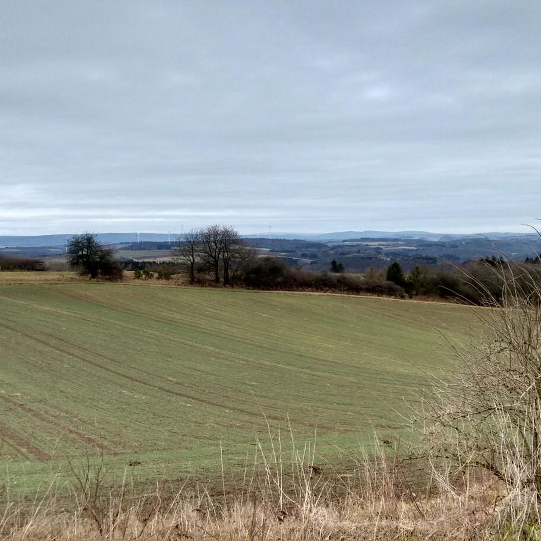
Hiking around Hoppstädten-Weiersbach offers diverse natural landscapes within the Nahe Valley and the Saar-Hunsrück Nature Park. The region features a blend of tranquil river valleys, dense forests, and rolling hills. Notable physical features include the Hoppstädter Berg and Weiersbacher Berg, alongside impressive rock formations such as Bärenfels. The area is characterized by its natural state, with much of the Nahe Valley designated as a scenic conservation area.
Best hiking trails around Hoppstädten-Weiersbach
- The most popular hiking route is Bärenfels —…
Last updated: June 29, 2026
4.7
(195)
717
hikers
14.7km
04:11
330m
330m
Moderate hike. Good fitness required. Easily-accessible paths. Suitable for all skill levels.
4.7
(14)
32
hikers
Moderate hike. Good fitness required. Easily-accessible paths. Suitable for all skill levels.

Sign up for free
4.4
(8)
30
hikers
Moderate hike. Good fitness required. Mostly accessible paths. Sure-footedness required.
4.3
(11)
43
hikers
Easy hike. Great for any fitness level. Easily-accessible paths. Suitable for all skill levels.
4.1
(7)
40
hikers
Easy hike. Great for any fitness level. Easily-accessible paths. Suitable for all skill levels.
Get access to more routes and recommendations from other explorers.
Sign up for free
Already have an account?
Our route recommendations are based on thousands of hikes, rides, and runs completed by other people on komoot.
Start today with a free account
Your next adventure awaits.
Login or Signup
Popular around Hoppstädten-Weiersbach

Other adventures around Hoppstädten-Weiersbach

Tips from the Community

The Nohener Nahe-Schleife is an award-winning premium hiking trail (Traumschleife) near Nohen, which leads directly along the Nahe river for approx. 12 km. The riverside path offers pure nature, idyllic valley meadows, and rock passages, often in direct proximity to the water.
1
0
The premium hiking trail Nohener-Nahe-Schleife runs pretty much parallel to the Haubartsbach. Very nice!
1
0
For me, it is the most beautiful resting place on the premium hiking trail Nohener-Nahe-Schleife. The covered resting place is located on the Nahe river and by the Haubartsbach stream.
1
0

There is also a forest pharmacy/service station here.
0
0

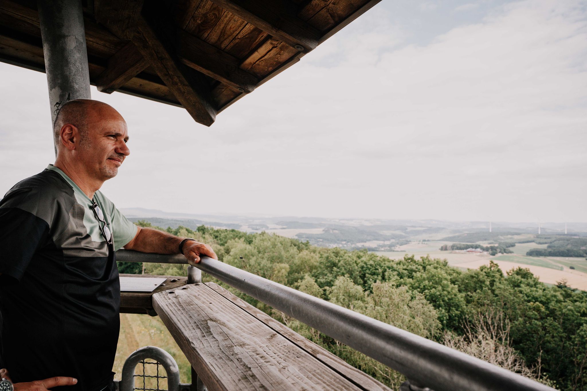
🪨 Bärenfels rock outcrop – a striking vantage point above the valley The Bärenfels is a striking rock formation at the edge of the forest, offering expansive views over the region's forests, hills, and valleys. The rock outcrop juts slightly above the terrain and offers a natural panoramic viewpoint for hikers with a head for heights. Tip: In dry weather, the rock is easy to climb – sturdy shoes are a must! Ideal for a short rest with a view and a great photo opportunity.
0
0
📍 Hidden on the Nohen Nahe Loop A small but beautiful waterfall that winds its way through rock and forest. Especially in wet weather—like today with drizzle—the Haubertsbach stream appears vibrant, clear, and powerful. Surrounded by moss and leaves, it creates an almost magical atmosphere. 💡 Tip: Be sure to stop and listen. The waterfall is easy to miss, but the sound is hard to miss. Ideal for a nature photo or simply to enjoy.
0
1

No Wikipedia article. No hiking trail. Only wild trails: Nohfels Castle. Presumably a tower castle with several defensive ramparts. Small outer bailey on the spur to the protected natural area/nature reserve below, with its own moat. The ascent and descent are challenging. The descent via the spur to the northeast is dangerous. It's great to find something that hardly anyone knows about. Predecessor to Nohfelden Castle?
0
0

Beautifully situated rest area on the Nahe
1
0
Frequently Asked Questions
What kind of terrain can I expect on hiking trails in Hoppstädten-Weiersbach?
Hoppstädten-Weiersbach offers a diverse landscape for hiking. You'll find tranquil river valleys, dense forests, and rolling hills. The region is part of the Nahe Valley, characterized by broad floodplains and wooded mountain slopes, and also lies within the Saar-Hunsrück Nature Park. Expect a mix of natural paths, some leading past impressive rock formations like Bärenfels, and others following river courses.
Are there any easy hiking trails suitable for beginners or families in Hoppstädten-Weiersbach?
Yes, Hoppstädten-Weiersbach has several easy trails perfect for beginners or families. For instance, the Kirchenmühle in Bleiderdingen – Fischerhütte Weiersbach loop is an easy 4.1 km route. Another accessible option is the Stone Cross Memorial (1918) – Kirchenmühle in Bleiderdingen loop, which is also easy and about 4.2 km long. In total, there are over 20 easy routes in the area.
Are there any circular hiking routes in Hoppstädten-Weiersbach?
Many of the trails in Hoppstädten-Weiersbach are circular, offering convenient starting and ending points. Popular circular routes include the moderate Bärenfels — Rocky Outcrop – Bear Cave loop, which is 14.7 km, and the At the Haubartsbach – Rest Area at Haubartsbach loop, covering 10.8 km. The Nohener Nahe Loop is also a well-known circular journey through forests and along the Nahe River.
What natural attractions or viewpoints can I discover while hiking here?
The region is rich in natural attractions. You can visit the charming Haubartsbach waterfall, which is particularly vibrant after rain. The Bärenfels rocky outcrop offers extensive panoramic views of the surrounding forests and valleys. The Nahe Valley itself is a scenic conservation area, providing untouched natural beauty. You can explore these features on routes like the At the Haubartsbach – Rest Area at Haubartsbach loop or the Bärenfels — Rocky Outcrop – Bear Cave loop.
Are there any historical landmarks or points of interest along the trails?
Yes, hikers can encounter several historical and cultural points of interest. The Nahekopf Plateau features the 'Kaiserallee' with portraits of Roman emperors and reconstructed foundational walls. Additionally, the Tirolerstein Memorial in the Hunsrück-Hochwald National Park marks a historical event and offers a peaceful spot for a break.
What is the overall difficulty level of hiking in Hoppstädten-Weiersbach?
The hiking trails in Hoppstädten-Weiersbach cater to various fitness levels. You'll find a good balance of easy and moderate routes. Out of 54 available tours, 22 are classified as easy and 32 as moderate. There are no difficult trails, making it an accessible destination for most hikers.
What do other hikers say about the trails in Hoppstädten-Weiersbach?
The hiking experience in Hoppstädten-Weiersbach is highly regarded by the komoot community, with an average rating of 4.6 stars from over 300 reviews. Hikers often praise the diverse natural landscapes, the blend of tranquil river valleys and dense forests, and the well-maintained paths that offer options for various ability levels.
Is Hoppstädten-Weiersbach suitable for long-distance hiking?
Yes, Hoppstädten-Weiersbach is part of the route for the Nahesteig, a long-distance hiking trail that follows the Upper Nahe. This trail guides hikers past impressive rock formations, descends to the river, and ascends to scenic viewpoints. Its accessibility via six train stations allows for flexible individual tours, making it a great option for multi-day or longer excursions.
Are there any educational paths or themed trails in the area?
Yes, the Gewässer-Erlebnis-Pfad Obere Nahe (Water Experience Path Upper Nahe) is a 1 km educational path. It highlights the diverse aquatic life and birds of the Upper Nahe, while also explaining renaturation efforts in the area, offering an insightful experience for those interested in local ecology.
How many hiking trails are available in Hoppstädten-Weiersbach?
There are over 50 hiking trails available in Hoppstädten-Weiersbach, offering a wide variety of options for different preferences and fitness levels. This includes 22 easy routes and 32 moderate routes.
Can I reach hiking trails in Hoppstädten-Weiersbach using public transport?
Yes, the region is quite accessible. The long-distance Nahesteig trail, for example, is conveniently accessible via six train stations, allowing hikers to plan flexible individual tours without needing a car. This suggests good public transport links to key starting points for many trails.
Most popular routes around Hoppstädten-Weiersbach
Most popular attractions around Hoppstädten-Weiersbach

Get inspired with the komoot mobile app


Explore more
Browse the best Hikes in other regions.
