The best running trails in Victoria Harbour Migratory Bird Sanctuary
4.6
(78)
3,859
runners
345
runs
Jogging in Victoria Harbour Migratory Bird Sanctuary features a diverse environment for runners, blending urban accessibility with natural coastal features. The region includes 30 kilometers of coastline and extensive marine and estuarine waters, offering routes with scenic water views. Trails often consist of paved surfaces, with options ranging from shorter loops with moderate elevation to longer runs with varied terrain. This area is characterized by its waterways, coastal paths, and numerous parks.
Best jogging routes in Victoria Harbour Migratory Bird…
Last updated: October 1, 2026
97
runners
7.93km
00:49
40m
40m
Moderate run. Good fitness required. Mostly paved surfaces. Suitable for all skill levels.
73
runners
31.2km
03:17
240m
240m
Hard run. Very good fitness required. Mostly paved surfaces. Suitable for all skill levels.

5.0
(1)
134
runners
Moderate run. Good fitness required. Mostly paved surfaces. Suitable for all skill levels.
4.5
(2)
83
runners
Moderate run. Good fitness required. Mostly paved surfaces. Suitable for all skill levels.
5.0
(1)
43
runners
8.86km
00:55
50m
50m
Moderate run. Good fitness required. Mostly paved surfaces. Suitable for all skill levels.
Get access to more routes and recommendations from other explorers.
Already have an account?
Our route recommendations are based on thousands of hikes, rides, and runs completed by other people on komoot.
Start today with a free account
Your next adventure awaits.
Popular around Victoria Harbour Migratory Bird Sanctuary
Tips from the Community

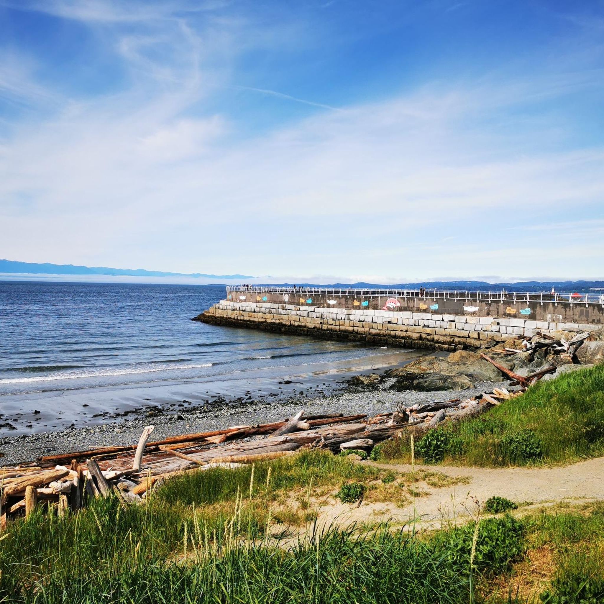
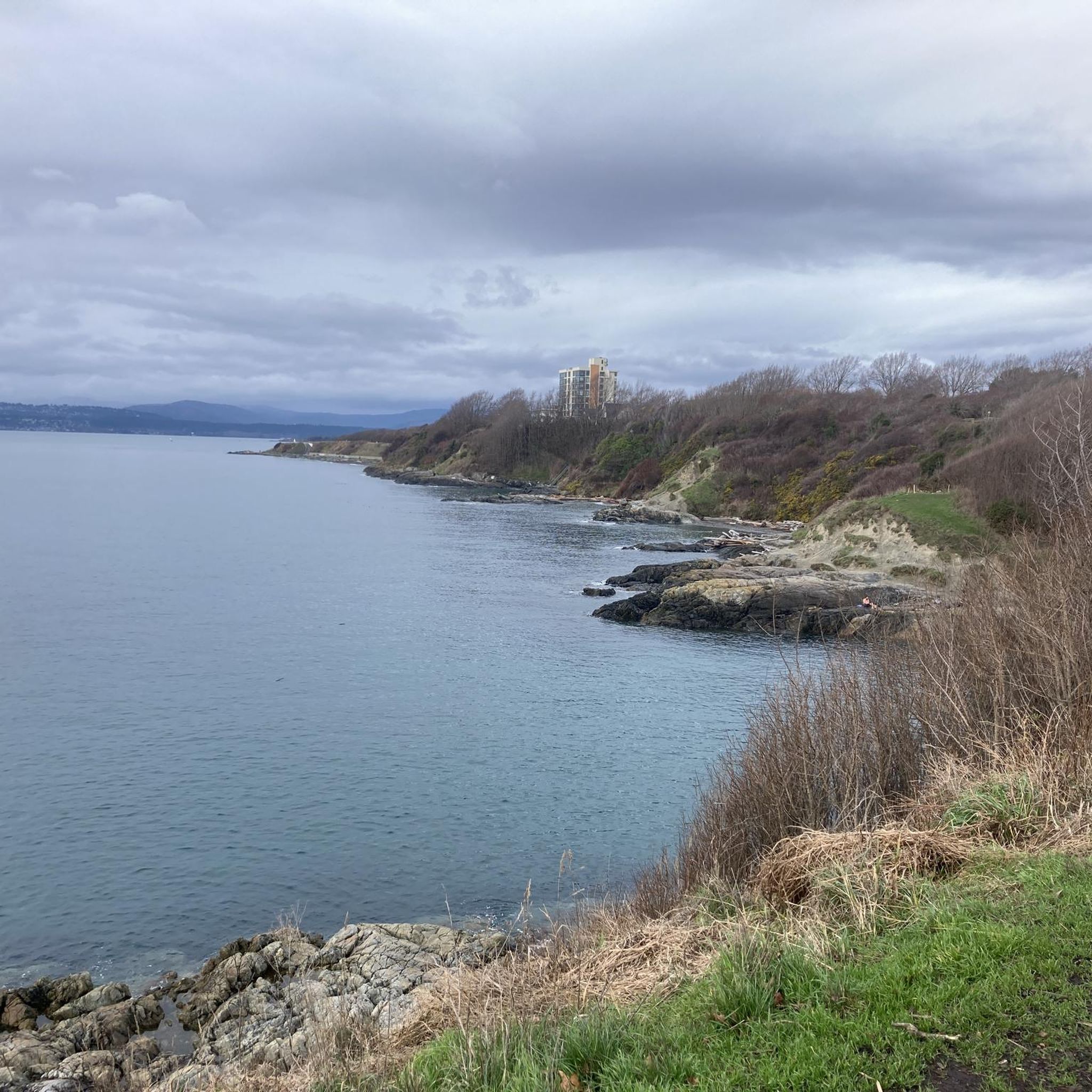
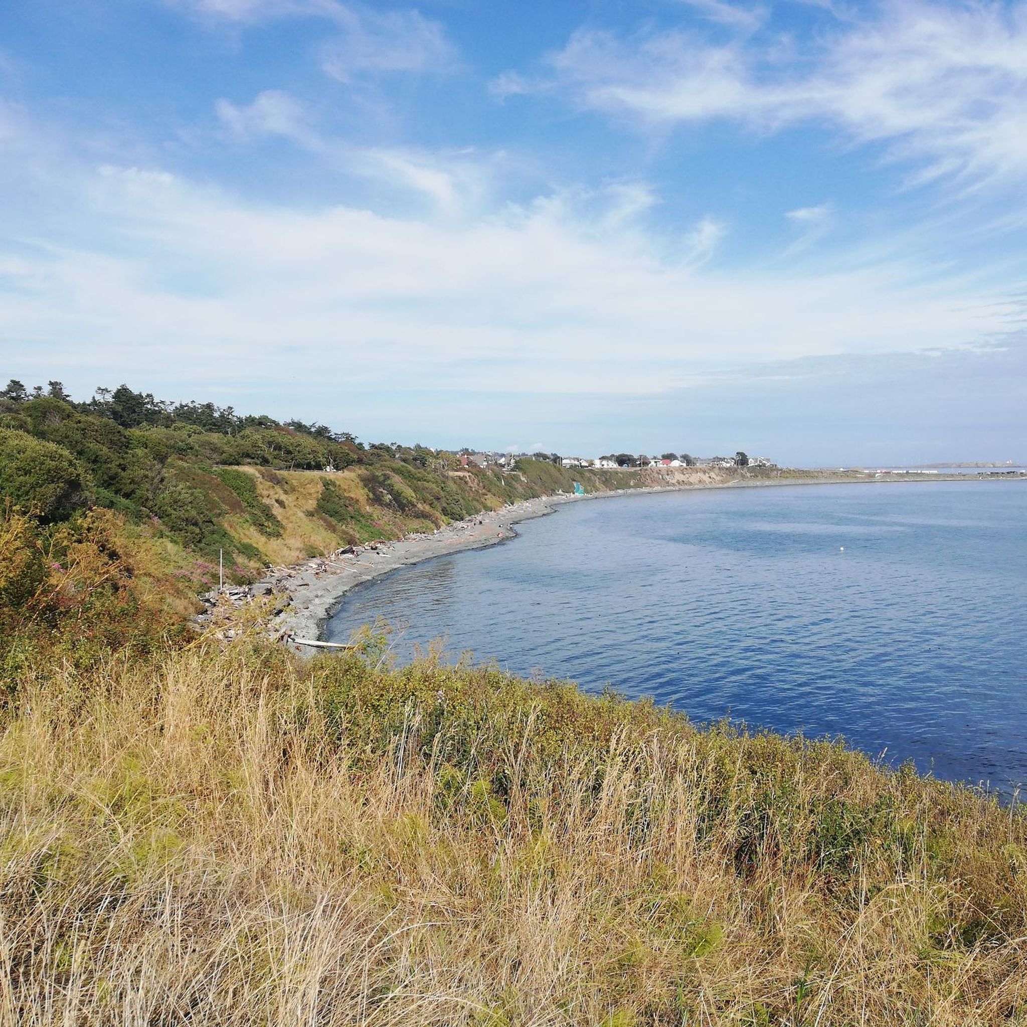
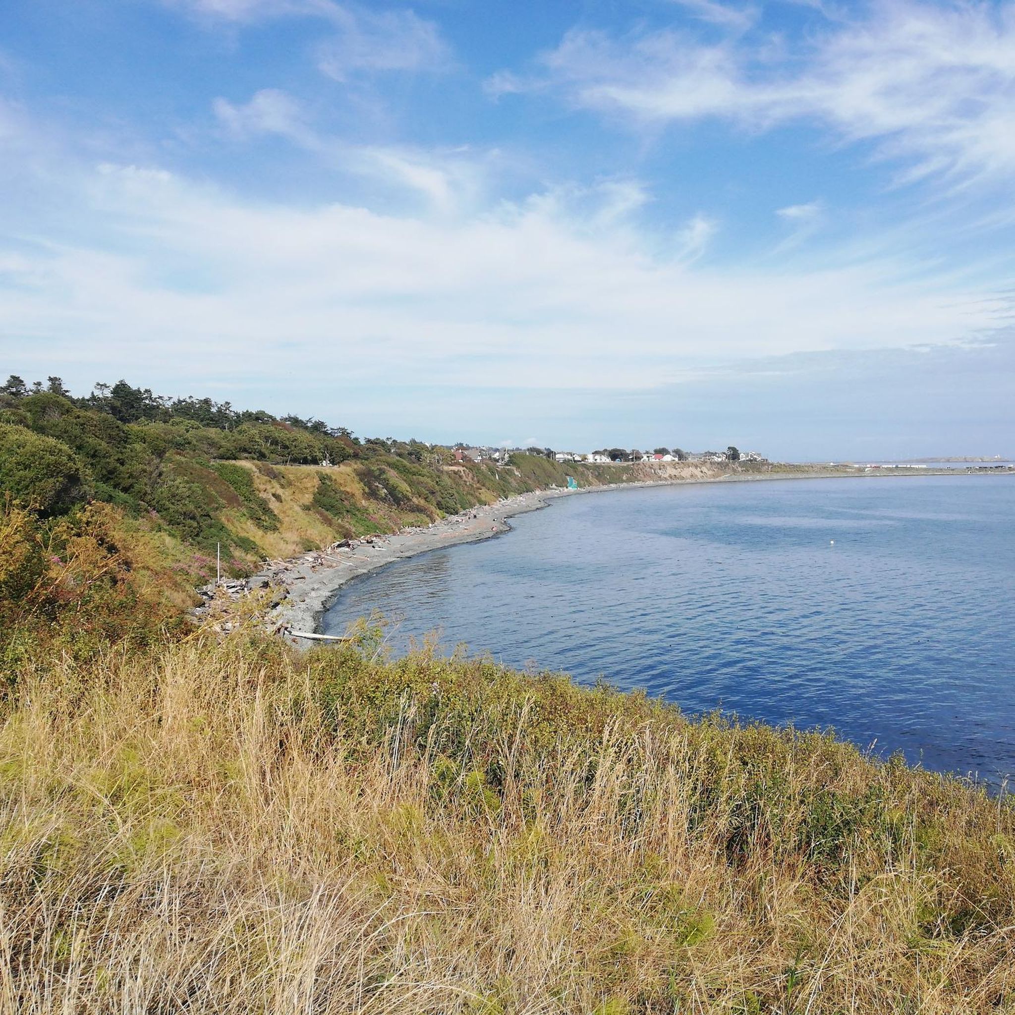
Clover Point sits at the eastern end of Dallas Road in Victoria, overlooking the wide waters of the Strait of Juan de Fuca. The grassy headland offers sweeping ocean views and is a popular place to watch waves crash along the rocky shoreline. On clear days you can see the Olympic Mountains in Washington across the strait. It’s also a well-known spot for kite flying, wind sports, and sunset views along Victoria’s waterfront.
0
0
The Marilyn Bell Monument at Clover Point Park honours Canadian long-distance swimmer Marilyn Bell. In 1954, at just sixteen years old, she became the first person to swim across Lake Ontario, completing the nearly 52-kilometre crossing between Youngstown, New York, and Toronto. The monument marks the starting point of a commemorative swim route and celebrates one of Canada’s most remarkable endurance achievements.
0
0

The hotel Fairmont Express, formerly known as The Empress was designed by Francis Rattenbury and built between 1904 and 1908. He was the architect of several other buildings in Victoria, such as the British Columbia Parliament Buildings and the former Vancouver Court House at Robson Square. https://en.wikipedia.org/wiki/The_Empress_(hotel)
2
1
Victoria's Inner Harbour stretches from the narrows between Laurel Point and Songhees Point to Johnson Street Bridge. This is where the ferry terminal for connections to Port Angeles in Washington State is located, as well as the marina in front of the Fairmont Empress Hotel and docks for smaller ships and boats. Regular seaplane flights to Vancouver and Seattle depart from Victoria Inner Harbour Airport. https://en.wikipedia.org/wiki/Victoria_Harbour_(British_Columbia)#Inner_Harbour
2
0


Wonderful view all the way to Washington - OK, only in clear weather and it's not that far. Apparently you can see whales from here too, but I didn't see any.
2
0

Today, it is a popular tourist destination and vibrant community center. Although it remains a port for fishing boats, it has also evolved to include a variety of restaurants, shops and colorful houseboats that attract locals and tourists alike.
2
0
Fisherman's Wharf was developed in the mid-20th century as a port for the local fishing fleet. Originally, the area served as an unloading point for fishermen bringing in fresh seafood to sell at the local market. Over time, the community grew and developed with houseboats and small fishing cabins lining the dock. For decades, it was a vital center for Victoria's fishing industry and a meeting place for the local community.
2
0
Frequently Asked Questions
How many running routes are available in Victoria Harbour Migratory Bird Sanctuary?
The Victoria Harbour Migratory Bird Sanctuary offers a wide selection of running routes, with over 370 options available on komoot. These range from easy loops to more challenging runs with varied elevation, catering to different fitness levels.
What kind of terrain can I expect on the jogging trails in Victoria Harbour Migratory Bird Sanctuary?
Many trails in the sanctuary feature mostly paved surfaces, making for smooth running. However, you'll also find routes with moderate to significant elevation changes, especially on longer runs. The diverse landscape includes coastal paths, urban waterfronts, and areas with natural features.
Are there any family-friendly running paths in the sanctuary?
Yes, the sanctuary provides accessible paths suitable for all skill levels, including families. Shorter, easier loops with moderate elevation, such as the Running loop from James Bay, are great options for a family outing.
Can I bring my dog on the running trails?
While the region is generally welcoming to outdoor activities, specific regulations for dogs can vary by trail or park within the sanctuary. It's always best to check local signage or official park websites for the most current rules regarding pets on trails.
What natural features and wildlife can I expect to see while running?
As a migratory bird sanctuary, it's a prime location for birdwatching, with approximately 270 bird species. You might spot seabirds, waterbirds, and shorebirds, especially in winter. Runners often encounter diverse bird species, seals, and otters along the extensive coastline and waterways like Portage Inlet and the Gorge Waterway. Keep an eye out for bald eagles and even larger marine mammals like orcas and humpback whales.
Are there any notable landmarks or viewpoints along the running routes?
Absolutely. Many routes offer stunning coastal views. You can pass by the British Columbia Parliament Buildings, the unique Fisherman's Wharf Houseboats, or enjoy panoramic vistas from Clover Point. The Inner Harbour, Victoria itself is a significant landmark.
What do other runners enjoy most about jogging in Victoria Harbour Migratory Bird Sanctuary?
The area is highly rated by the komoot community, with an average score of 4.6 stars from over 40 reviews. Runners frequently praise the diverse environment, combining urban accessibility with stunning natural coastal features, and the variety of routes offering scenic water views and wildlife spotting opportunities.
Are there good options for circular running routes?
Yes, the sanctuary is ideal for circular running routes. Popular options include the Inner Harbour, Victoria loop from Victoria, which is 8.1 miles, and the Ross Bay loop from Rockland, a moderate 5.6-mile path offering coastal scenery.
Is there parking available near the jogging trails?
Given its urban accessibility, various parking options are available throughout Greater Victoria, especially near popular trailheads and parks within the sanctuary. Specific parking availability can vary, so it's advisable to check maps or local information for your chosen starting point.
How can I access the running routes using public transport?
The Victoria Harbour Migratory Bird Sanctuary is well-integrated into urban Greater Victoria, making many trailheads accessible via public transport. BC Transit operates bus services throughout the region, with stops conveniently located near various parks and coastal walkways. Planning your route with a local transit map is recommended.
What is the best time of year to go running in the sanctuary?
The sanctuary offers a diverse environment year-round. While winter is excellent for birdwatching, the spring and fall often provide pleasant temperatures for running. Summer can be beautiful along the coast, but it's always wise to check local weather forecasts and consider cooler morning or evening runs during warmer months.
Are there any cafes or amenities near the running routes?
Yes, due to its urban setting, you'll find numerous cafes, restaurants, and other amenities conveniently located near many of the running routes, especially around the Inner Harbour, James Bay, and Downtown areas. These provide great spots for a post-run refreshment or snack.
Most popular routes in Victoria Harbour Migratory Bird Sanctuary
Most popular attractions in Victoria Harbour Migratory Bird Sanctuary

Get inspired with the komoot mobile app


Explore more
Browse the best Running Trails & Routes in other regions.
