The best cycling routes in Satellite Channel Ecological Reserve
4.4
(50)
771
riders
14
rides
Touring cycling routes in Satellite Channel Ecological Reserve offer diverse terrain, characterized by coastal paths, forested sections, and gentle hills. The region provides a mix of paved and unpaved surfaces suitable for touring bicycles, often with views of the surrounding waters and islands. Cyclists can expect routes that navigate through natural landscapes, connecting various points of interest.
Best touring cycling routes in Satellite Channel Ecological Reserve
- The most popular touring cycling route is The Fickle Fig Bakery – Patricia Bay Park loop from Downey at Derrick, a 13.3 miles (21.4 km) trail that takes 1 hour 17 minutes to complete, offering scenic coastal views.
- Another top favourite among local touring cyclists is Marigold Bistro loop from Kolb Island, an easy 15.0 miles (24.1 km) path that winds through varied landscapes.
- Local touring cyclists also love the Lochside Regional Trail – Inner Harbour, Victoria loop from Swartz Bay, a 53.7 miles (86.4 km) trail leading through coastal and urban areas, often completed in about 5 hours 18 minutes.
- Touring cycling in Satellite Channel Ecological Reserve is defined by coastal paths, forested areas, and varied elevation changes. The network offers options for different ability levels, from easy loops to more challenging long-distance routes.
- The routes in Satellite Channel Ecological Reserve are highly rated by the komoot community with an average score of 4.4 stars from over 40 reviews. More than 700 touring cyclists have used komoot to explore Satellite Channel Ecological Reserve's varied terrain.
Last updated: October 7, 2026
15
riders
21.4km
01:17
140m
140m
Easy bike ride. Great for any fitness level. Mostly paved surfaces. Suitable for all skill levels.
3.0
(1)
25
riders
Hard bike ride. Very good fitness required. Mostly paved surfaces. Suitable for all skill levels.

37
riders
24.1km
01:24
120m
120m
Easy bike ride. Great for any fitness level. Mostly paved surfaces. Suitable for all skill levels.
18
riders
70.4km
04:46
1,090m
1,090m
Hard bike ride. Very good fitness required. Mostly paved surfaces. Suitable for all skill levels.
4.8
(4)
15
riders
Hard bike ride. Very good fitness required. Mostly paved surfaces. Suitable for all skill levels.
Get access to more routes and recommendations from other explorers.
Already have an account?
Our route recommendations are based on thousands of hikes, rides, and runs completed by other people on komoot.
Start today with a free account
Your next adventure awaits.
Popular around Satellite Channel Ecological Reserve
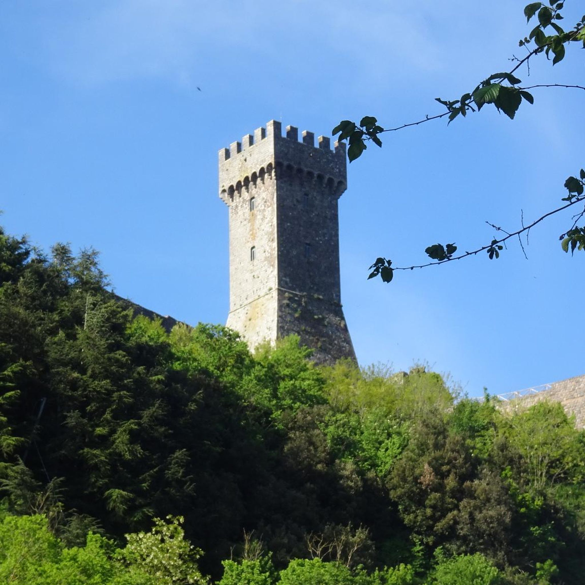


Tips from the Community

This trail offers stunning ocean views along the way. While the shoreline of Sooke Basin is mostly rocky, its northern edge features stretches of sandy beach.
0
0

Patricia Bay Park is a quiet waterfront spot in North Saanich with open views of the Saanich Inlet and easy access to the paved Scoter Trail. There are picnic tables, restrooms, and a small beach area, making it a lovely place to stop for lunch or take a break. It’s low-key and family-friendly, perfect for birdwatching, a short walk, or just sitting by the water.
2
0

Don’t ride on Salt Spring. Drivers are terrible and shoulders are non existent
0
0

Enjoy the trails! Easy and the view is spectacular.
0
0

The Johnson Street Bridge spans the waters of Victoria Harbour at a narrow point. The single-leaf bascule bridge opened in March 2018. At night, the bridge is illuminated in blue. This commemorates the original bridge from 1924, which was also called the 'Blue Bridge' because of its light blue color.
3
1

Let's you stay off the roads and bypass downtown Sidney if you are just travelling through though Sidney does have some great bakeries and coffee stops
0
0

At the southern tip of Thetis Lake, just a few steps from the parking lot, there is a small beach. All around you will find toilets, showers and picnic tables.
1
0

A very interesting drawbridge that is beautifully lit at night.
2
0
Frequently Asked Questions
How many touring cycling routes are available in Satellite Channel Ecological Reserve?
There are over 15 touring cycling routes in Satellite Channel Ecological Reserve, offering diverse terrain from coastal paths to forested sections. These routes are highly rated by the komoot community, with an average score of 4.4 stars.
Are there easy or family-friendly touring cycling routes in Satellite Channel Ecological Reserve?
Yes, Satellite Channel Ecological Reserve offers several easy touring cycling routes suitable for families and beginners. For example, the The Fickle Fig Bakery – Patricia Bay Park loop from Downey at Derrick is an easy 13.3-mile (21.4 km) route with scenic coastal views. Another great option is the Marigold Bistro loop from Kolb Island, which is an easy 15.0-mile (24.1 km) path winding through varied landscapes.
What kind of terrain can I expect on touring cycling routes in Satellite Channel Ecological Reserve?
The terrain in Satellite Channel Ecological Reserve is diverse, featuring coastal paths, forested sections, and gentle hills. You'll encounter a mix of paved and unpaved surfaces, often with picturesque views of the surrounding waters and islands.
Are there challenging touring cycling routes for experienced cyclists?
Yes, for more experienced touring cyclists, there are several challenging routes. The Lochside Regional Trail – Inner Harbour, Victoria loop from Swartz Bay is a difficult 53.7-mile (86.4 km) trail that leads through coastal and urban areas. Another demanding option is the Lochside Regional Trail – Johnson Street Bridge loop from Swartz Bay, which spans over 97 miles (156 km).
What is the best season for touring cycling in Satellite Channel Ecological Reserve?
The best season for touring cycling in Satellite Channel Ecological Reserve is generally spring through fall (April to October) when the weather is milder and rainfall is lower. Summer months offer the warmest temperatures and longest daylight hours, ideal for longer rides.
Are there any circular touring cycling routes in the area?
Yes, many of the touring cycling routes in Satellite Channel Ecological Reserve are designed as loops, allowing you to start and end at the same point. Examples include the popular The Fickle Fig Bakery – Patricia Bay Park loop from Downey at Derrick and the longer Lochside Regional Trail – Inner Harbour, Victoria loop from Swartz Bay.
What kind of views and wildlife can I expect along the routes?
Cyclists can expect stunning coastal views, especially along routes that hug the shoreline. The ecological reserve setting means opportunities for wildlife spotting, including various bird species and marine life in the surrounding waters. Forested sections also offer tranquil natural scenery.
What do other touring cyclists enjoy most about the routes here?
The touring cycling routes in Satellite Channel Ecological Reserve are highly rated by the komoot community, with an average score of 4.4 stars from over 40 reviews. Reviewers often praise the diverse scenery, the mix of coastal and forested paths, and the well-maintained surfaces suitable for touring bicycles.
Are there places to eat or get refreshments along the touring cycling routes?
While specific cafes are not directly integrated into every route description, the region's routes often connect various points of interest and communities. You can typically find amenities and refreshment stops in towns or villages along the way, such as near the starting points or destinations of routes like the Marigold Bistro loop from Kolb Island.
What should I wear for touring cycling in Satellite Channel Ecological Reserve?
Given the coastal and varied terrain, it's advisable to wear layers that can be adjusted to changing weather conditions. Breathable, moisture-wicking clothing is recommended, along with a windproof or waterproof outer layer, especially during cooler or potentially rainy seasons. Always bring a helmet and consider padded cycling shorts for comfort on longer rides.
Is public transport available to access the touring cycling routes?
Many routes in the Satellite Channel Ecological Reserve area are accessible via public transport, particularly those that start or end near urban centers or ferry terminals. For example, routes originating from Swartz Bay, like the Lochside Regional Trail – Inner Harbour, Victoria loop, are often convenient for those arriving by ferry or local bus services that accommodate bikes.
Where can I park my car when starting a touring cycling route?
Parking availability varies by route starting point. Many popular trailheads and parks, such as Patricia Bay Park mentioned in the The Fickle Fig Bakery – Patricia Bay Park loop, offer designated parking areas. It's always a good idea to check local parking regulations and availability for your chosen starting location.
Most popular routes in Satellite Channel Ecological Reserve

Get inspired with the komoot mobile app


Explore more
Browse the best Cycling routes in other regions.
