The best walks and hikes in Burns Bog Ecological Conservancy Area
4.8
(13)
213
hikers
20
hikes
Hiking trails in Burns Bog Ecological Conservancy Area provide access to a globally unique peat bog ecosystem, recognized as the largest raised peat bog and undeveloped urban landmass on the West Coast of the Americas. The terrain is characterized by diverse flora, including bog laurel and carnivorous sundew plants, alongside cedar forests and hardhack meadows. Extensive boardwalks allow exploration of this critical habitat, which supports over 300 plant and animal species. The area's flat topography makes it suitable for easy…
Last updated: August 19, 2026
4
hikers
3.64km
01:00
60m
70m
Easy hike. Great for any fitness level. Easily-accessible paths. Suitable for all skill levels.
5.0
(1)
15
hikers
6.18km
01:42
100m
100m
Easy hike. Great for any fitness level. Easily-accessible paths. Suitable for all skill levels.

Sign up for free
5.0
(1)
24
hikers
4.31km
01:05
10m
10m
Easy hike. Great for any fitness level. Easily-accessible paths. Suitable for all skill levels.
3
hikers
6.18km
01:44
120m
120m
Easy hike. Great for any fitness level. Easily-accessible paths. Suitable for all skill levels.
1
hikers
3.15km
00:54
70m
70m
Easy hike. Great for any fitness level. Easily-accessible paths. Suitable for all skill levels.
Get access to more routes and recommendations from other explorers.
Sign up for free
Already have an account?
Our route recommendations are based on thousands of hikes, rides, and runs completed by other people on komoot.
Start today with a free account
Your next adventure awaits.
Login or Signup
Popular around Burns Bog Ecological Conservancy Area

Tips from the Community

Water Tower Trail is a wide gravel path that winds through the mature second-growth forest of Watershed Park. It’s a gently rolling route that passes under towering Douglas-firs, western red cedars, and bigleaf maples before reaching the park’s distinctive water tower. It’s a peaceful walk that’s ideal for a quiet escape into one of Delta’s largest urban forests.
0
0

Lower Trail follows a broad forest corridor through Watershed Park, with tall conifers lining both sides of the path and dense greenery stretching into the ravines below. The wide gravel surface makes for easy walking, while the mostly level route provides a quieter way to explore the park's coastal forest. Like many trails in Watershed Park, it is shared with mountain bikers, so keep an eye out for approaching riders, particularly around bends and intersections.
0
0
Watershed Park protects one of the largest remaining old-growth forests in Metro Vancouver, with wide trails winding beneath towering western red cedars, Douglas firs, and western hemlocks. Ferns, moss-covered trunks, and a dense canopy create a classic coastal rainforest setting, while the mostly level terrain makes for easy walking. Although the park is best known for its extensive mountain biking trail network, many of the trails also make excellent hiking routes. Just stay alert for cyclists and follow posted trail signs, particularly at intersections and on narrower sections.
0
0
Upper Trail winds through some of Watershed Park's most impressive forest, passing beneath towering western red cedars and Douglas firs that rise high above the path. The wide gravel trail makes for easy walking, while ferns, moss-covered trunks, and dense greenery create a classic coastal rainforest atmosphere. With little elevation change and shade for much of the route, it's one of the best places in the park to slow down and appreciate the scale of the old-growth trees.
0
0

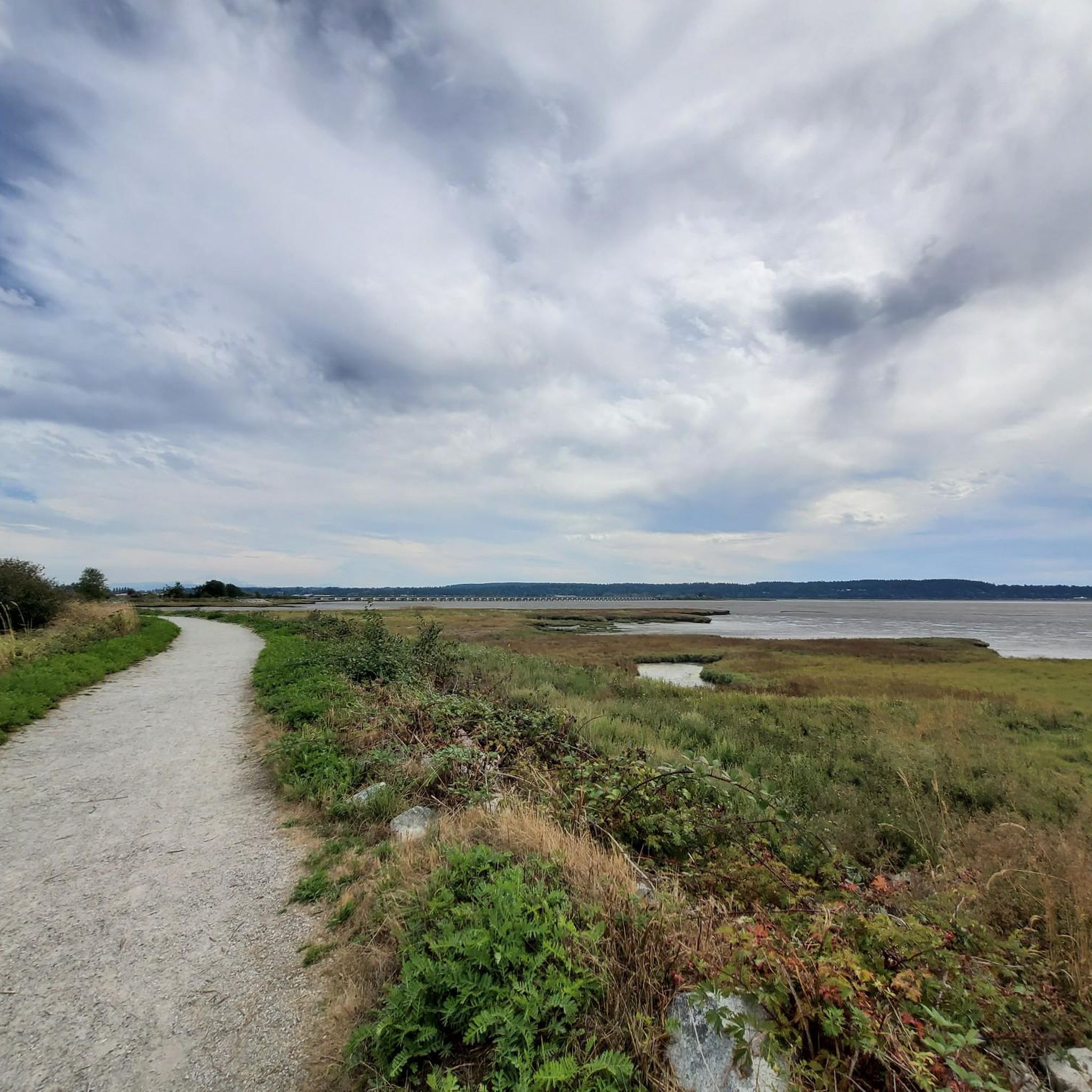
Watershed Park is a beautiful, forested park with an extensive trail system that beckons hikers, trail runners, and mountain bikers to explore its inner realms. There's also nice viewpoints over Mud Bay and an open meadow with a picnic area.
0
0

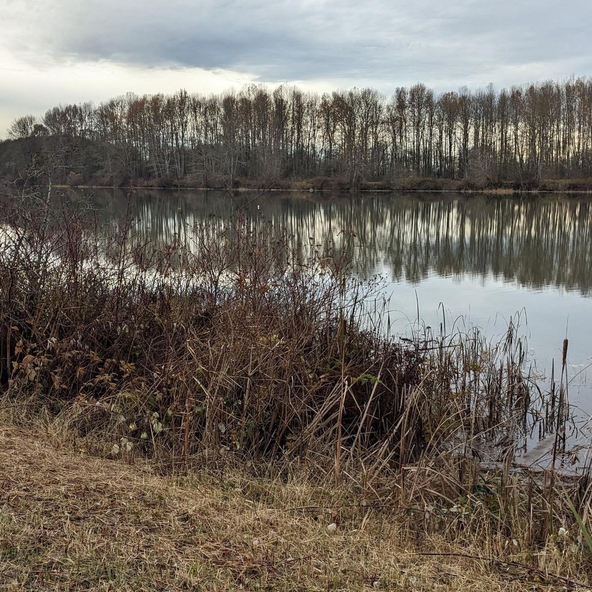
Deas Slough is on the east side of Deas Island. Because it is much gentler than the Fraser River on the other side of the island, the slough is a great spot for human-propelled watercraft.
0
0
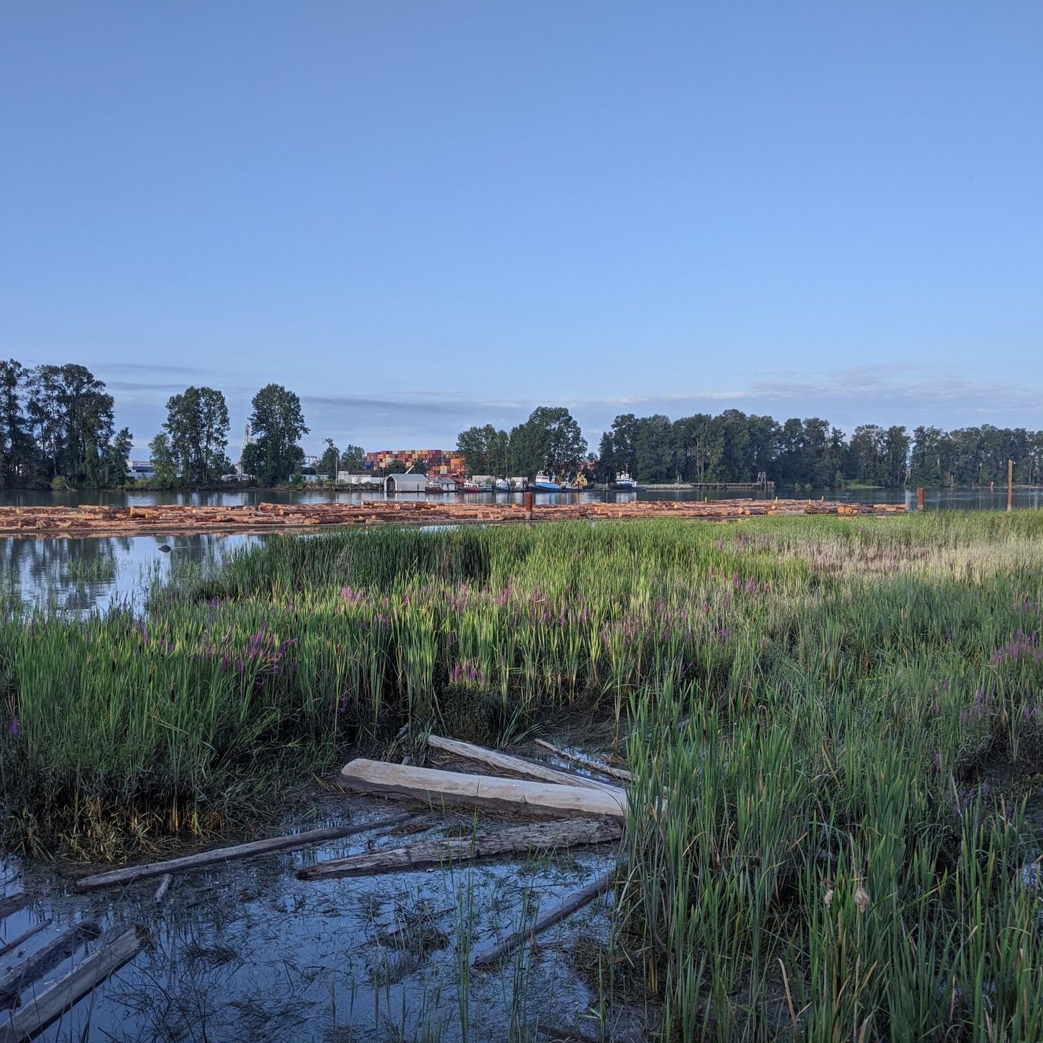
The Fraser River is the longest river in British Columbia, stretching 1,375 km. It's also the largest producer of salmon in Canada and is considered one of the world's greatest salmon resources.
0
0
Deas Island Regional Park sits along the banks of the Fraser River and Deas Slough. The park’s site was once home to a cannery that processed large quantities of salmon from the Fraser River. Today, it’s best known for its scenic hiking trails.
0
0
Frequently Asked Questions
How many hiking trails are there in Burns Bog Ecological Conservancy Area?
Burns Bog Ecological Conservancy Area offers over 15 hiking trails. Most of these, about 13, are considered easy, making them accessible for various fitness levels. There are also 3 moderate routes for those seeking a slightly longer or more challenging experience.
Are the trails in Burns Bog suitable for families with children?
Yes, the trails in Burns Bog are largely family-friendly. Many paths are stroller-friendly, though a short section of loose rocks might be present on some routes. The area's flat topography and extensive boardwalks make it an enjoyable experience for all ages, and interpretive displays offer educational opportunities for children.
Can I bring my dog on the trails in Burns Bog?
Dogs are welcome on the trails in Burns Bog Ecological Conservancy Area. However, it is crucial to keep them on a leash at all times to protect the delicate wildlife and vegetation within this unique ecosystem.
What kind of unique nature or wildlife can I expect to see in Burns Bog?
Burns Bog is a globally unique peat bog ecosystem, home to over 300 plant and animal species and 175 bird species. You might spot diverse flora like bog laurel, Labrador tea, water lilies, and even carnivorous sundew plants. Wildlife includes black-tailed deer, beavers, and a variety of birds, as the bog is a vital migratory stopover on the Pacific Flyway.
Are there any circular routes available in Burns Bog?
Yes, Burns Bog offers several circular routes. For example, the Hiking loop from Cougar Canyon Environmental Reserve is an easy 3.8 km loop. Another option is the Stag Horn Fungi in Forest loop from Cougar Canyon Environmental Reserve, which is a 6.4 km easy loop.
What is the general difficulty level of hikes in Burns Bog?
The majority of hikes in Burns Bog Ecological Conservancy Area are classified as easy, making them suitable for all fitness levels. There are also a few moderate options for those looking for a slightly longer walk. The terrain is generally flat, with minimal elevation changes.
How long are the typical hikes in Burns Bog?
Hikes in Burns Bog vary in length, but many are designed for shorter excursions. For instance, the Delta Nature Reserve loop from Alex Fraser Bridge is an easy 3.6 km path, typically taking just over an hour. Longer options like the Cedar Grove loop from Arbour Place Environmental Reserve cover about 7.4 km.
Is there parking available at the trailheads for Burns Bog?
Yes, parking is available at various access points to the Burns Bog trails, such as near the Delta Nature Reserve. Specific parking details can often be found on individual route pages or local park information websites.
What is the best time of year to hike in Burns Bog?
Burns Bog offers a pleasant hiking experience throughout much of the year. Spring brings abundant skunk cabbage and vibrant plant life, while the largely shaded trails provide comfort during warmer months. Birdwatching is particularly rewarding during migratory seasons. Even in winter, the trails can be accessible, though conditions may vary.
Are there boardwalks on the trails in Burns Bog?
Yes, a significant portion of the trails in Burns Bog features wooden boardwalks. These allow visitors to explore the unique wetland ecosystem without getting wet and ensure a smooth hiking experience. A boardwalk replacement project is underway to enhance safety and accessibility.
What makes Burns Bog unique compared to other hiking areas?
Burns Bog is unique as the largest raised peat bog and undeveloped urban landmass on the West Coast of the Americas. Its rare domed peat bog ecosystem, formed over 6,000 years, supports exceptional biodiversity and acts as a significant carbon sink. The distinct reddish water in some areas, caused by moss, adds to its unique character.
What do other hikers enjoy the most about hiking in Burns Bog?
The area is highly rated by the komoot community, with an average score of 4.7 stars. Reviewers often praise the peaceful atmosphere, the unique natural environment, and the well-maintained boardwalks that make exploring the bog accessible and enjoyable. Many appreciate the opportunity for wildlife spotting and the educational interpretive displays.
Are there any specific points of interest or landmarks to look out for?
Within the Delta Nature Reserve portion of Burns Bog, an intriguing point of interest for many visitors is the partially submerged Tractor Trail. Additionally, the interpretive displays along the trails offer insights into the bog's unique ecosystem and history.
Most popular routes in Burns Bog Ecological Conservancy Area

Get inspired with the komoot mobile app


Explore more
Browse the best Hikes in other regions.
