The best running trails in Brackendale Eagles Provincial Park
4.1
(9)
688
runners
51
runs
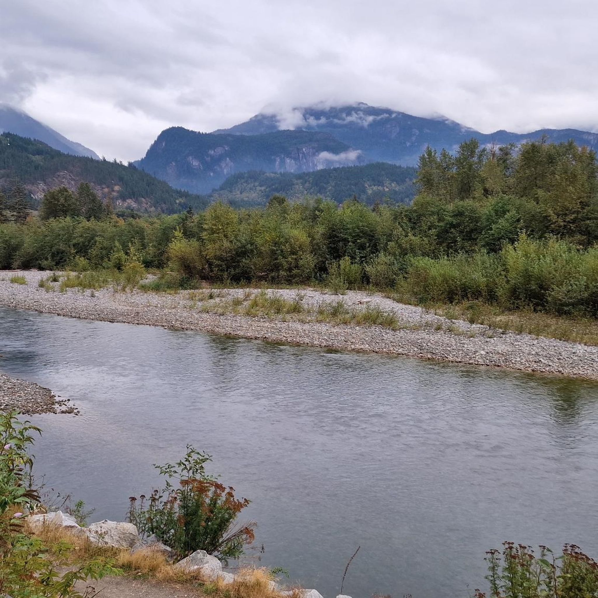
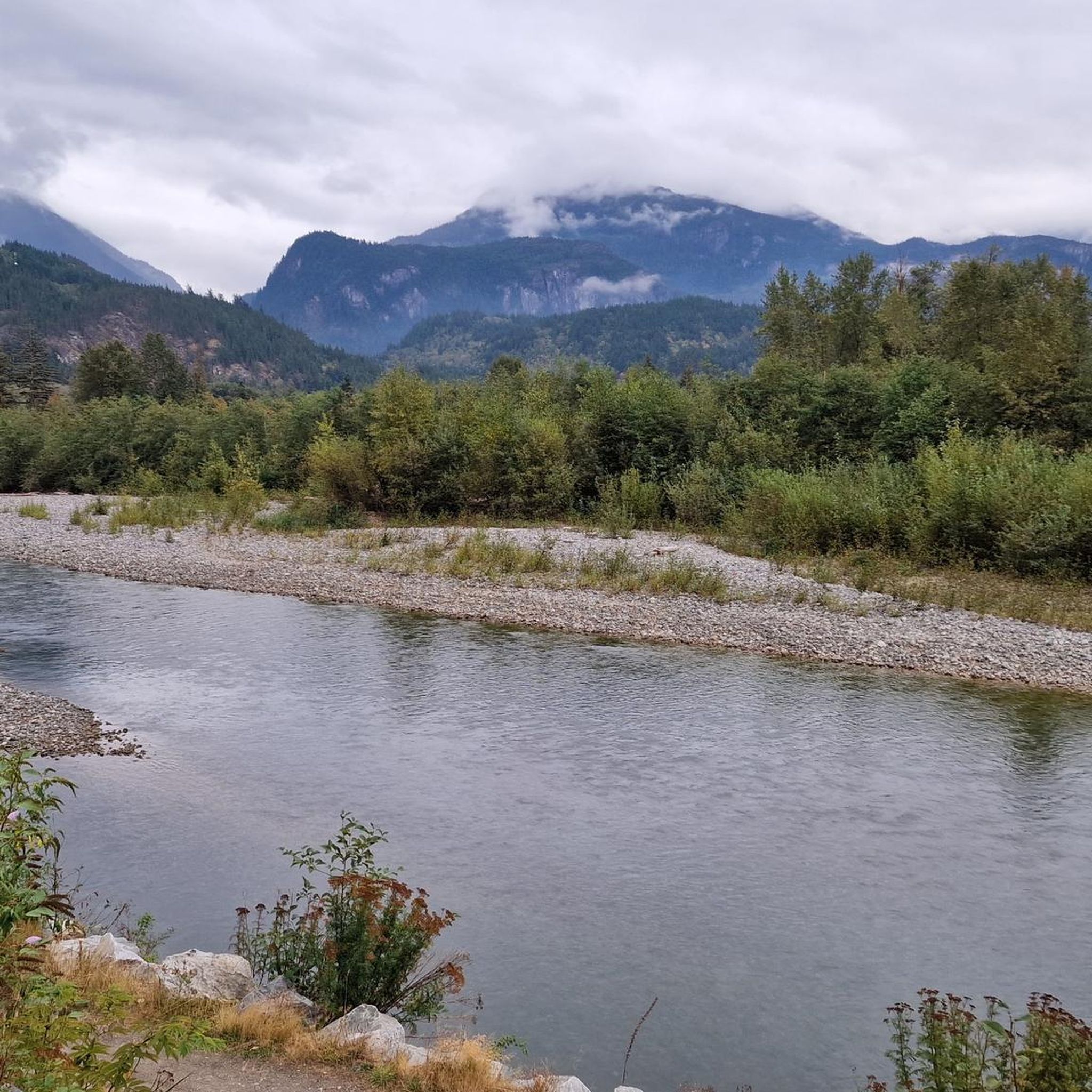
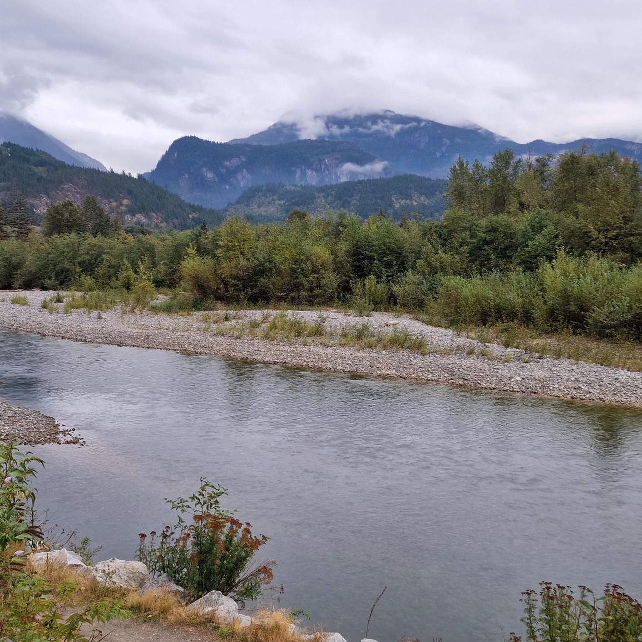
Jogging in Brackendale Eagles Provincial Park offers access to diverse terrain in the surrounding Squamish River Valley, as direct access within the provincial park is restricted. The region is characterized by the rugged Coast Mountains, the Squamish River, and vital riparian areas. Runners can find routes along river dykes and through lush forests, providing views of the park's natural features and the wider mountainous landscape. The area provides varied running routes suitable for different fitness levels.
Best jogging routes in…
Last updated: October 11, 2026
3.0
(1)
21
runners
5.34km
00:33
20m
20m
Moderate run. Good fitness required. Mostly paved surfaces. Suitable for all skill levels.
6
runners
12.1km
01:36
450m
450m
Hard run. Very good fitness required. Mostly accessible paths. Some sure footedness required.

10
runners
17.9km
02:06
410m
410m
Hard run. Very good fitness required. Mostly accessible paths. Some sure footedness required.
5.0
(1)
47
runners
15.1km
01:49
360m
360m
Hard run. Very good fitness required. Mostly accessible paths. Some sure footedness required.
42
runners
38.9km
05:10
1,370m
1,370m
Hard run. Very good fitness required. Mostly accessible paths. Some sure footedness required.
Get access to more routes and recommendations from other explorers.
Already have an account?
Our route recommendations are based on thousands of hikes, rides, and runs completed by other people on komoot.
Start today with a free account
Your next adventure awaits.
Tips from the Community

Man Boobs is an downhill MTB trail with thrilling speedy sections and berms. It can be accessed from the Mashiter Trail, a popular multi-use path. Once at the bottom, you can easily combine it with other downhill trails in the area.
0
0

Coho Park is beautiful, tucked between the Garibaldi Estates and Garibaldi Highlands neighbourhoods at the northeastern edge of the city. It’s a rare example of an urban temperate rainforest, where the forest floor is filled with ferns, mosses, and small plants, with a canopy of tall conifers that shuts out much of the sky above. The park gets its name from the coho salmon that spawn in Meighan Creek, which flows through the park on its way to the Squamish River, and is a popular spot for hiking, trail running, and mountain biking.
0
0

Alice Lake is the largest and most popular of the four lakes in Alice Lake Provincial Park, just north of Squamish in the Garibaldi Highlands. The lake has warm, calm waters popular for swimming, paddling, and picnicking in the summer months. Explore the lakeside and find a sandy beach, a roped-off swimming area, and plenty of space for stand-up paddleboards and kayaks.
0
0
Stump Lake is one of four main lakes in the park, along with Alice, Edith, and Fawn Lakes, connected by a network of forest trails. Hikers and bikers can visit all the lakes in one go.
0
0
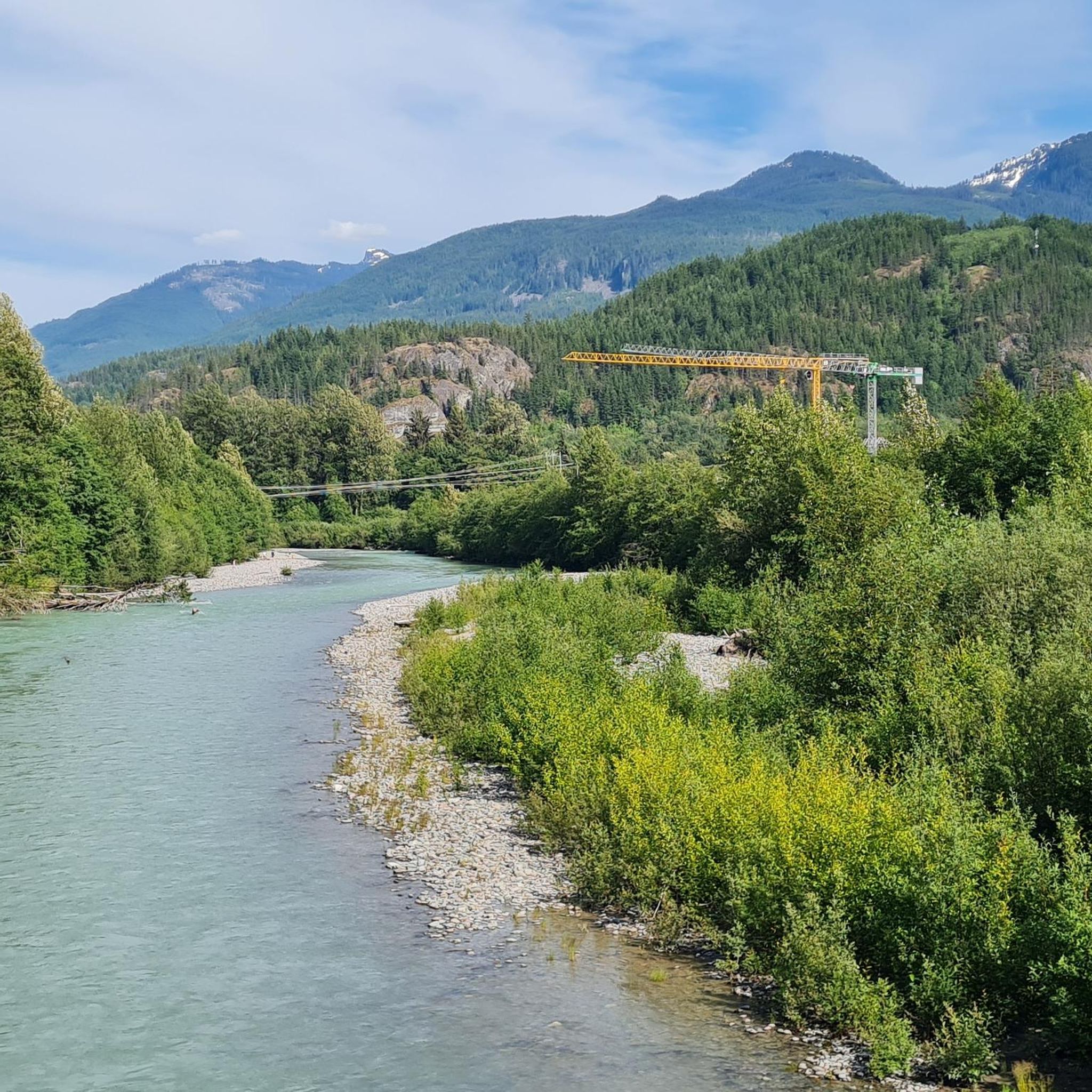
The Cheakye River is a short, powerful glacial-fed river that flows from the Cheakamus River valley to meet the Squamish River. Explore the rocky shores here, just a few meters off of Four Lakes Trail.
0
0
Edith Lake is a small lake tucked within the forested hills of the Garibaldi Highlands, surrounded by towering Douglas-fir and cedar evergreens, with views of the Tantalus Range and Coast Mountains in the background. The trails here are well-marked and easy to follow.
1
0

This is a great, gentle trail near Alice Lake Provincial Park. Flowy with berms, this trail runs downhill only North to South and connects to Alice Lake Access and Northside Connector trails.
0
0

Edith Lake is one of four lakes in the Alice Lake Provincial Park. The other three lakes are the Stump Lake, the Fawn Lake and – of course – the Alice Lake.
1
0
Frequently Asked Questions
Can I jog directly within Brackendale Eagles Provincial Park?
No, direct access and recreational activities, including jogging, are highly restricted within Brackendale Eagles Provincial Park due to its high conservation values, especially from October to March. However, the surrounding Brackendale area offers numerous trails with stunning views of the park and its natural features.
What kind of terrain can I expect on running routes near Brackendale Eagles Provincial Park?
The running routes in the Brackendale area offer diverse terrain. You'll find relatively flat, accessible paths along river dykes, such as the Running loop from Eagle Run, as well as more challenging trails with significant elevation gain through forested areas, like the DeBecks North Ridge loop from Eagle Run. The region is characterized by the rugged Coast Mountains and the Squamish River Valley.
Are there any easy running trails for beginners in the Brackendale area?
Yes, there are routes suitable for beginners. The Running loop from Eagle Run is a moderate 3.7-mile (5.9 km) trail that is relatively flat and accessible, perfect for an easy run. The Eagle Run dyke trail itself is also known for being stroller and wheelchair-friendly, offering a smooth surface.
What are the typical lengths and durations of running routes in this region?
Running routes in the Brackendale area vary significantly in length and duration. You can find shorter loops like the Running loop from Eagle Run, which is about 3.7 miles (5.9 km) and takes around 37 minutes. Longer, more challenging routes, such as the Cheekye River – Pamplemousse loop from Eagle Run, can be up to 11.4 miles (18.3 km) and take over 2 hours to complete.
What notable landscapes or viewpoints can I see while running near Brackendale Eagles Provincial Park?
While running on trails adjacent to the park, you can enjoy panoramic views of the Squamish River, the majestic Tantalus Provincial Park, and the surrounding snow-peaked coastal mountains. The Eagle Run dyke provides a prime location to observe bald eagles, especially from November to February, and offers views across the Squamish River into the provincial park itself.
Is the Brackendale area suitable for family-friendly running or walking?
Yes, the area offers options for families. The Eagle Run dyke trail is particularly suitable for families, as it's a gravel trail that is accessible and relatively flat, making it easy for strollers and younger children. It provides a pleasant environment for a family run or walk with scenic views.
Are there any dog-friendly running trails in the Brackendale area?
Many trails in the broader Squamish area, including those around Brackendale, are dog-friendly, though leash regulations typically apply. Always ensure your dog is under control and check local signage for specific rules on individual trails to ensure a safe and enjoyable experience for everyone.
What is the best time of year to go running in the Brackendale area?
The best time to run depends on your interests. For spectacular bald eagle viewing, November to February is ideal, as thousands of eagles congregate in the Squamish River Valley. For general running with milder weather and lush scenery, spring, summer, and fall offer excellent conditions. Winter running is also possible, but trails may be wet or icy.
How can I get to the running trails near Brackendale Eagles Provincial Park by public transport?
While direct public transport to every trailhead might be limited, the Squamish Transit System operates routes that can get you to the general Brackendale area. From there, some trailheads, like those accessible from Dentville or Eagle Run, might be within walking or a short taxi distance. It's advisable to check the latest local bus schedules and routes for the most current information.
Where can I find parking for running routes in the Brackendale area?
Designated parking areas are available near popular trailheads in the Brackendale area. For instance, parking is typically available near the Eagle Run dyke for access to trails like the Running loop from Eagle Run. Always look for official parking lots and respect any posted regulations.
What do other runners enjoy most about running in the Brackendale area?
The area is highly rated by the komoot community, with an average score of 4.6 stars from over 7 reviews. Reviewers often praise the stunning views of the Squamish River and Coast Mountains, the opportunity for wildlife spotting (especially eagles), and the variety of trails that cater to different fitness levels, from easy riverside paths to challenging climbs.
Are there any loop running trails available?
Yes, many of the running routes in the Brackendale area are designed as loops, offering a varied experience without retracing your steps. Popular loop options include the Running loop from Eagle Run and the more challenging DeBecks North Ridge loop from Eagle Run, which provide diverse scenery and terrain.
Most popular routes in Brackendale Eagles Provincial Park

Get inspired with the komoot mobile app


Explore more
Browse the best Running Trails & Routes in other regions.
