The best road cycling routes in Blackcomb Glacier Provincial Park
76
riders
5
rides
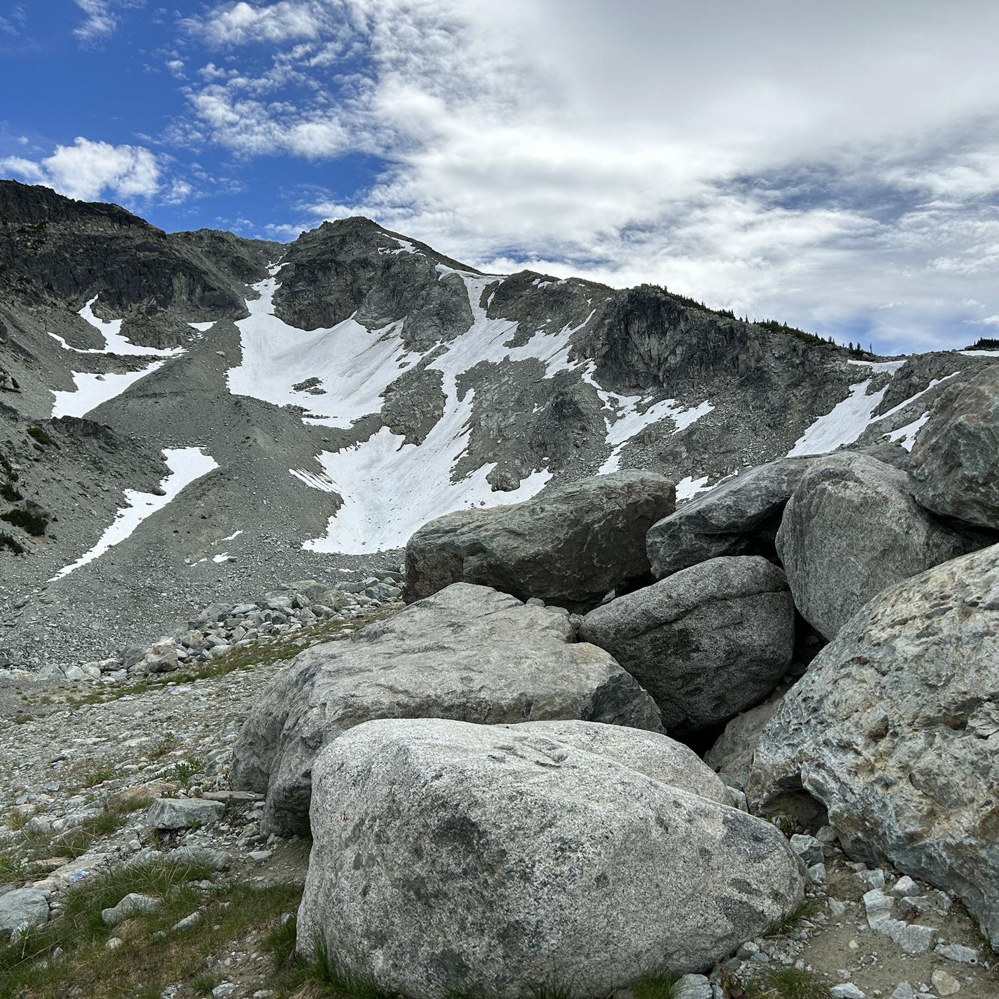
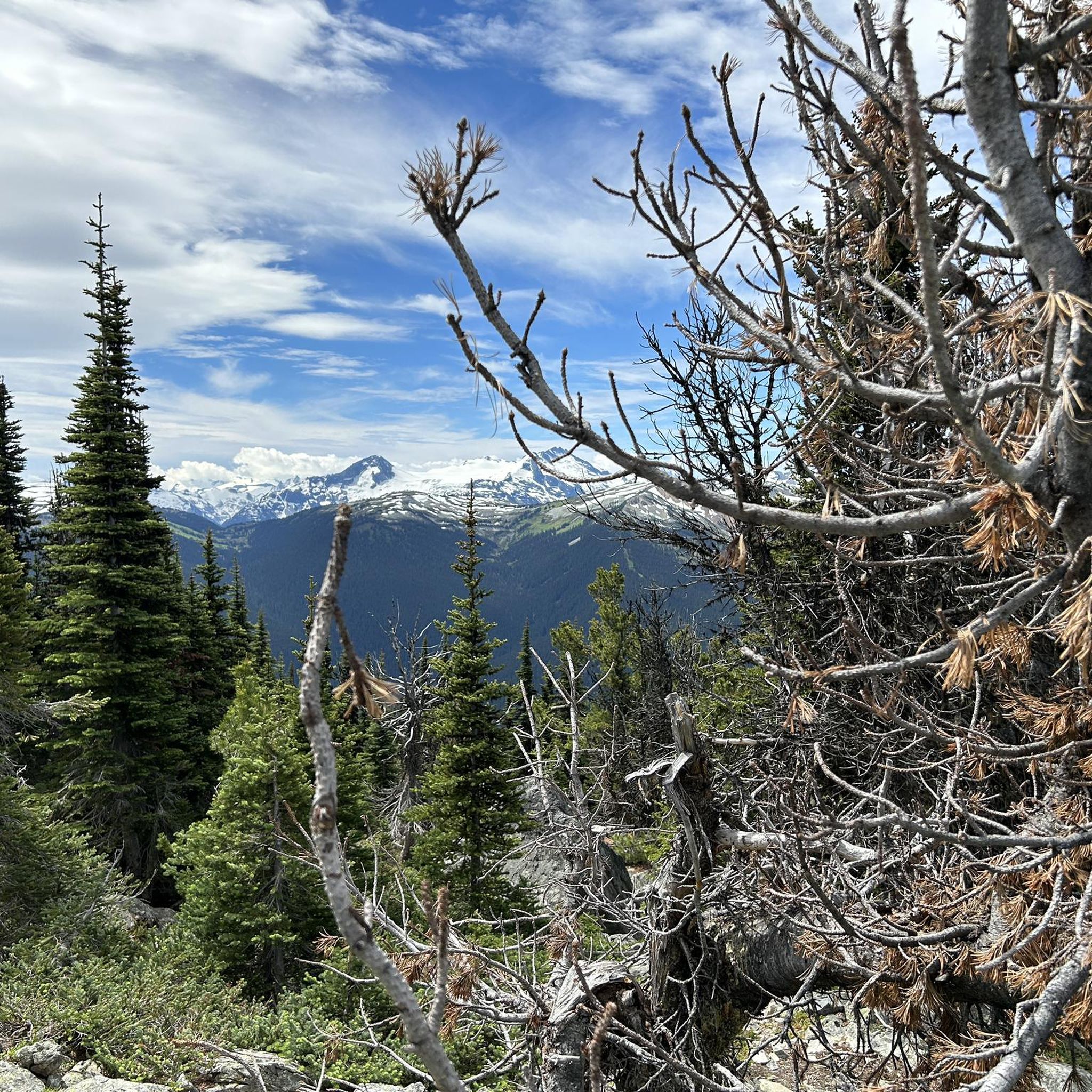
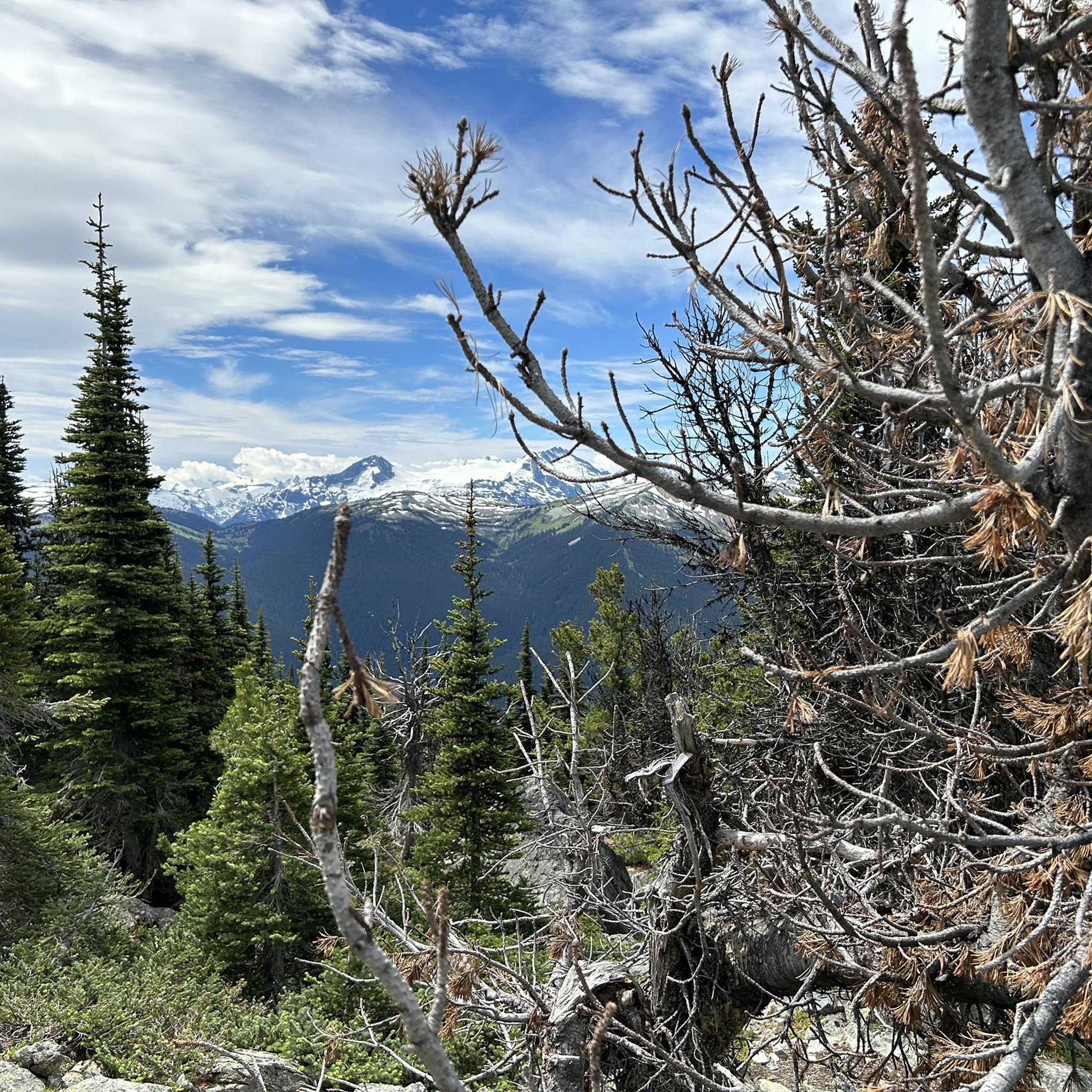
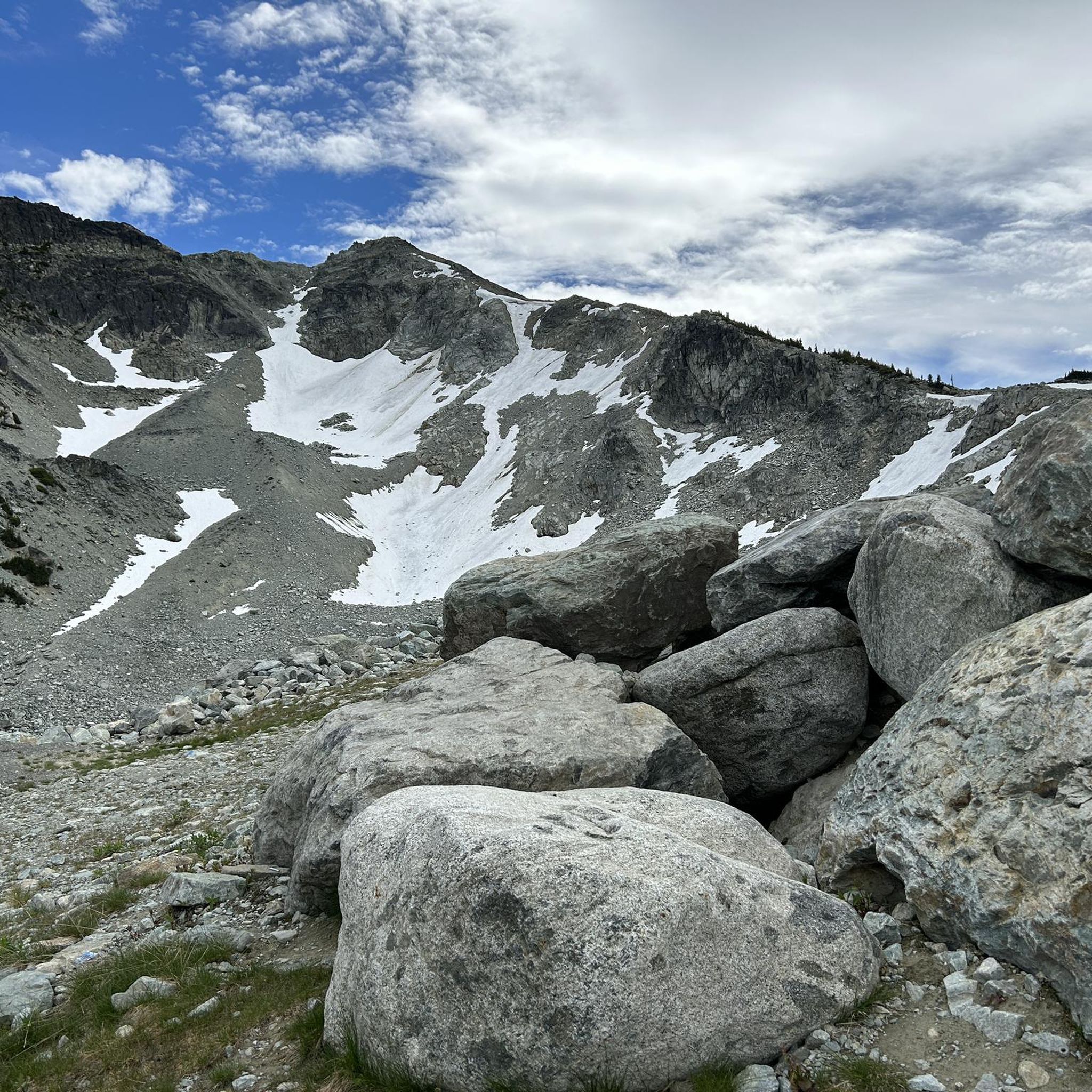
Road cycling routes in Blackcomb Glacier Provincial Park are situated within the broader Whistler Blackcomb region, offering diverse terrain. While the provincial park itself features high-alpine, glacial, and rocky landscapes unsuitable for road cycling, the surrounding area provides extensive paved routes. This region is characterized by dramatic mountain backdrops, including views of Blackcomb Peak and The Spearhead, alongside forested valleys and numerous lakes. The network includes challenging climbs and scenic paths, with elevations ranging from valley floors to significant mountain…
Last updated: July 8, 2026
17
riders
16.7km
00:44
120m
120m
Easy road ride. Great for any fitness level. Mostly well-paved surfaces and easy to ride.
27
riders
25.5km
01:28
300m
300m
Moderate road ride. Good fitness required. Some segments of this route may be unpaved and difficult to ride.

Sign up for free
8
riders
22.0km
01:05
220m
220m
Easy road ride. Great for any fitness level. Mostly well-paved surfaces and easy to ride.
14
riders
Easy road ride. Great for any fitness level. Mostly well-paved surfaces and easy to ride.
8
riders
71.9km
03:57
780m
780m
Moderate road ride. Good fitness required. Some segments of this route may be unpaved and difficult to ride.
Our route recommendations are based on thousands of hikes, rides, and runs completed by other people on komoot.
Start today with a free account
Your next adventure awaits.
Login or Signup
Popular around Blackcomb Glacier Provincial Park
Tips from the Community


Tucked in the forest just outside Whistler Village, Lost Lake is a beautiful, quiet spot surrounded by tall evergreens and mountain views. It’s a popular spot for swimming and paddleboarding in summer, with trails around its perimeter perfect for hiking and biking. In winter, the area transforms into a snowy network of cross-country ski and snowshoe trails, offering a quiet escape just minutes from town.
1
0

Lakeside Park is located on the southeast shore of Alta Lake. During the summer months, the beach is used for swimming. https://www.whistler.ca/parks-recreation-culture/parks/lakeside-park/
2
0
Alta Lake was formed by glacial retreat and subsequent sediment deposition, creating depressions that filled with meltwater. Alta Lake and other nearby lakes, such as Green Lake, are part of a large watershed whose waters flow north to the Lillooet River and south to the Cheakamus River. Historically, water flowed both north and south from Alta Lake, which lies at the top of the pass. This natural dual drainage system of the lake ended with the arrival of settlers. https://fireandicegeoregion.ca/geosite/whistler-valley-lakes-and-watershed-divide/
2
0
Green Lake is the largest lake in the Whistler region. To the north, it is the source of the Green River, which drains into the Lillooet River. Green Lake was formed during the last Ice Age, when sediment was deposited in the U-shaped valley, forming lake basins. The lake's green color is due to the glacial silt of Fitzsimmons Creek. From the wooden boardwalk on the southwest shore, we have a magnificent view of the lake and the seaplane landing. In the background, we can see the peaks of the Garibaldi Range, from Wedge Mountain to Mount Currie, including Mount Weart with the Armchair Glacier. https://www.piquenewsmagazine.com/local-news/naturespeak-awesome-geology-sites-around-whistlergreen-lake-part-2-7576124
2
0
The Lost Lake PassivHaus is the first passive house in Canada. It is located at the main entrance of Lost Lake Park. The building was initially used as accommodation for the Austrian Olympic Committee and Austrian Broadcasting, which broadcasted live to Austrian audiences during the 2010 Winter Olympics. After the Games, the Austrian Passive House Group donated it to the Municipality of Whistler. The building now serves as a day lodge, office and meeting space for the Whistler Off-road Cycling Association (WORCA) and Whistler Nordics, as well as a cross-country ski and mountain bike rental shop and a café. Source: https://www.passivehousecanada.com/projects/lost-lake-passive-house/
3
0
Sightlines, the 1998 bronze sculptures and stainless-steel handrails by Kip Jones and Jennifer Macklem, are located on the bridge in Village Park at the Village Stroll. The sculptures are part of Whistler's public art collection, established in 1996. Sources: https://www.whistler.ca/parks-recreation-culture/arts-and-culture/public-art/collection/sightlines/ https://depts.washington.edu/canada/cca/coll.htm
2
0
The Village Stroll is a pedestrian-only area that runs through Whistler Village, connecting shops, restaurants, and attractions, including the cable cars that travel up to Whistler Mountain and Blackcomb Peak. The development planning for Whistler Village dates to the 1970s; the implementation and construction of the village took place in the 1980s. Details of the events at that time can be found on the Whistler Museum website: https://whistlermuseum.org/tag/village-stroll/
2
0
Frequently Asked Questions
Is Blackcomb Glacier Provincial Park suitable for road cycling?
Blackcomb Glacier Provincial Park itself, with its high-alpine, glacial, and rocky terrain, is not suitable for road cycling. However, the surrounding Whistler Blackcomb area offers extensive and diverse paved routes for road cyclists, providing breathtaking mountain landscapes and challenging climbs.
What types of road cycling routes can I find in the Whistler Blackcomb area?
The Whistler Blackcomb area offers a variety of road cycling experiences. You'll find challenging climbs like those on Glacier Drive or Kadenwood, scenic routes with stunning views such as the Sea to Sky Highway, and extensive paved paths for more casual rides within the Whistler Valley Trail network, connecting various lakes and parks.
Are there any easy or family-friendly road cycling routes available?
Yes, for easier and family-friendly rides, the extensive Whistler Valley Trail network provides paved paths connecting beautiful locations like Lost Lake, Green Lake, Rainbow Park, and Nita Lake. These routes offer a more casual cycling experience amidst natural settings. An example is the Nita Lake – Bottomless Pond loop from Southbound Hwy 99 at Nicklaus North, which is rated easy.
Where can I find challenging road cycling routes in the region?
For advanced road cyclists seeking a challenge, the region offers significant elevation gains. Notable climbs include Glacier Drive to Base 2 on Blackcomb, Painted Cliff Road, and the demanding Kadenwood climb. The road to Whistler Olympic Park in the Callaghan Valley also presents a popular and scenic ascent with substantial elevation gain.
What are some scenic viewpoints or attractions along the road cycling routes?
Many routes offer continuous scenic beauty. You'll enjoy dramatic mountain backdrops, including views of Blackcomb Peak and The Spearhead. The Sea to Sky Highway provides views of Howe Sound and the Tantalus Range, while the Pemberton Meadows Road offers picturesque farms and stunning views of Mount Currie. Lakeside routes like the Green Lake docks loop from Whistler also offer beautiful vistas.
Are there any circular road cycling routes in the Whistler Blackcomb area?
Yes, many routes in the area are designed as loops, allowing you to start and end at the same point. Examples include the popular Green Lake docks loop from Whistler, the Nita Lake loop from Whistler, and the Larry's Viewpoint loop from Whistler, all offering varied terrain and scenic views.
When is the best season for road cycling in the Whistler Blackcomb region?
The best season for road cycling in the Whistler Blackcomb region is typically from late spring through early autumn (May to October). During these months, the weather is generally mild, and the roads are clear of snow, providing optimal conditions for enjoying the diverse routes and stunning scenery.
How many road cycling routes are available in the Whistler Blackcomb area on komoot?
There are currently 7 road cycling routes available on komoot for the Whistler Blackcomb area, ranging from easy to moderate difficulty. These routes have been explored by over 250 road cyclists from the komoot community.
What do other road cyclists enjoy most about the routes in this region?
The road cycling routes in the Whistler Blackcomb area are highly rated by the komoot community, with an average score of 5.0 stars. Reviewers often praise the challenging mountain climbs, the scenic lake loops, and the extensive paved valley trails that cater to various ability levels.
Can I find cafes or places to stop for refreshments along the road cycling routes?
The Whistler Blackcomb area, being a renowned resort destination, has numerous cafes, restaurants, and amenities, especially within Whistler Village and along the Whistler Valley Trail network. Many routes pass through or near areas where you can easily find places to stop for refreshments and breaks.
What are the typical lengths and elevation gains for road cycling routes in the area?
Route lengths vary significantly, from shorter loops around lakes to longer, more demanding rides. For instance, the Green Lake docks loop from Whistler is 36.0 km (22.4 miles) with 390 meters (1,280 feet) of elevation gain, while the Green Lake – Lost Lake Nature Trail loop from Whistler is 20.5 km (12.7 miles) with 150 meters (492 feet) of elevation gain.
Is parking available for road cyclists in the Whistler Blackcomb area?
Yes, ample parking is available throughout the Whistler Blackcomb area, particularly in and around Whistler Village, as well as at various trailheads and access points to the Valley Trail network. Many routes start from central locations in Whistler, making parking convenient for cyclists.
Most popular routes in Blackcomb Glacier Provincial Park

Get inspired with the komoot mobile app


Explore more
Browse the best Road cycling routes in other regions.
