Routes

Planner

Features

Updates

App

Login or Signup

Get the App

Login or Signup

Login or Signup

Routes
Cycling routes
Canada
British Columbia

Brohm Lake Interpretive Forest Trails

Routes
Cycling routes
Canada
British Columbia

Brohm Lake Interpretive Forest Trails

The best cycling routes in Brohm Lake Interpretive Forest Trails

4.7

(6)

441

riders

18

rides

Touring cycling routes in Brohm Lake Interpretive Forest Trails navigate a landscape characterized by dense woodlands, watershed areas, and views of the Squamish Estuary and Cheakamus River. The region features varied terrain, from relatively flat riverside paths to routes with moderate elevation changes. These trails offer opportunities to explore the natural environment surrounding Brohm Lake, connecting to broader regional cycling networks.

Best touring cycling routes in Brohm Lake Interpretive Forest Trails

  • The most popular touring cycling route is Brackendale Riverside…

Last updated: May 12, 2026

22

riders

#1.

Brackendale Riverside View – The Watershed loop from Brohm Lake Interpretive Forest Trails

34.9km

02:03

190m

190m

Moderate bike ride. Good fitness required. Mostly paved surfaces. Suitable for all skill levels.

Navigate with device

Send to Phone

Save

Moderate

Easy bike ride. Great for any fitness level. Mostly paved surfaces. Suitable for all skill levels.

Easy
guide_signup
Let us show you the way with the komoot mobile app
With a free komoot account, you can easily find, customize, and navigate endless outdoor adventures.

Sign up for free

14

riders

Easy bike ride. Great for any fitness level. Mostly paved surfaces. Suitable for all skill levels.

Easy

Easy bike ride. Great for any fitness level. Mostly paved surfaces. Suitable for all skill levels.

Easy

Hard bike ride. Very good fitness required. Mostly paved surfaces. Suitable for all skill levels.

Hard
Sign up for free to see 14 more rides in Brohm Lake Interpretive Forest Trails.

Get access to more routes and recommendations from other explorers.

Sign up for free

Already have an account?

Our route recommendations are based on thousands of hikes, rides, and runs completed by other people on komoot.

Start today with a free account

Your next adventure awaits.

Login or Signup

Popular around Brohm Lake Interpretive Forest Trails
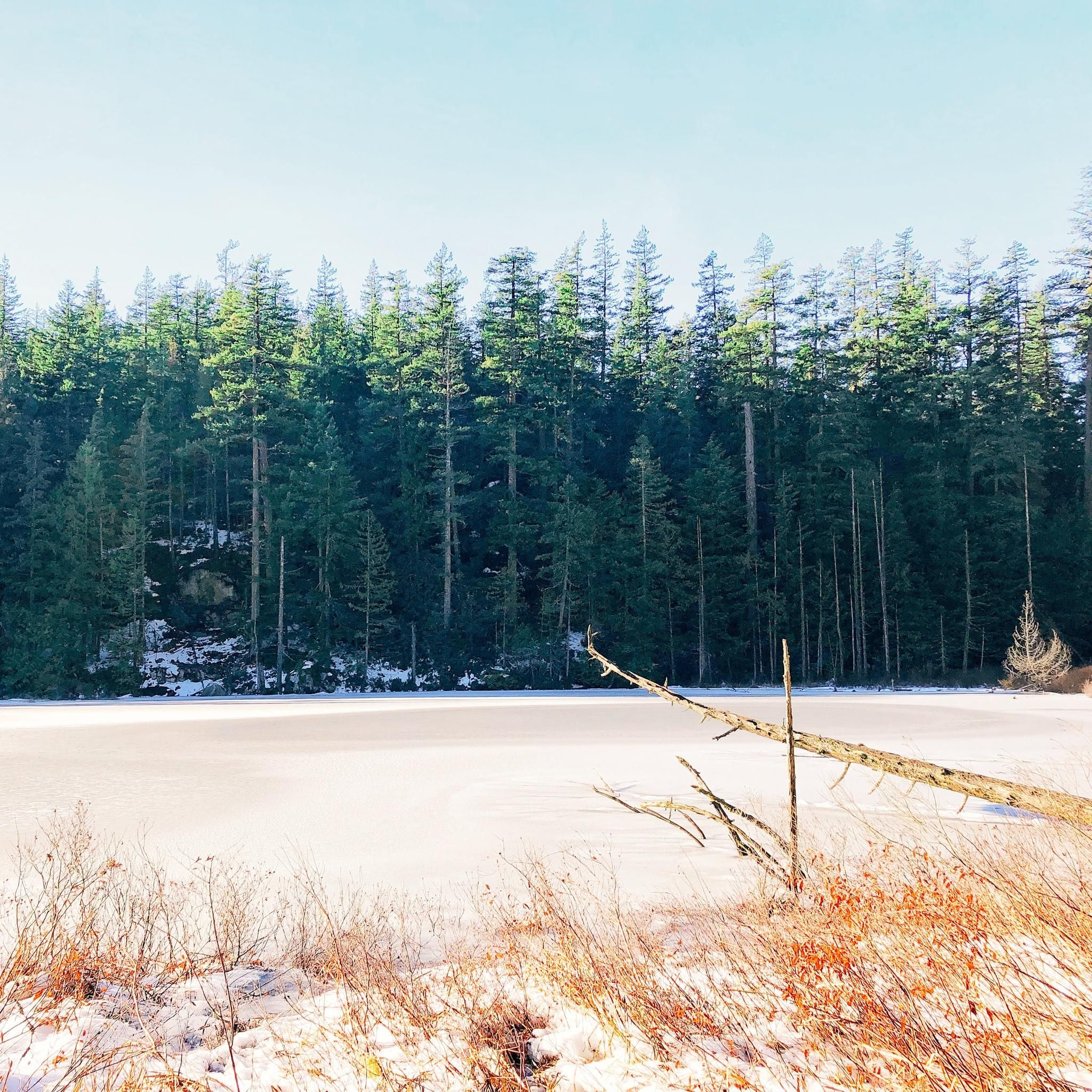
MTB Trails in Brohm Lake Interpretive Forest Trails
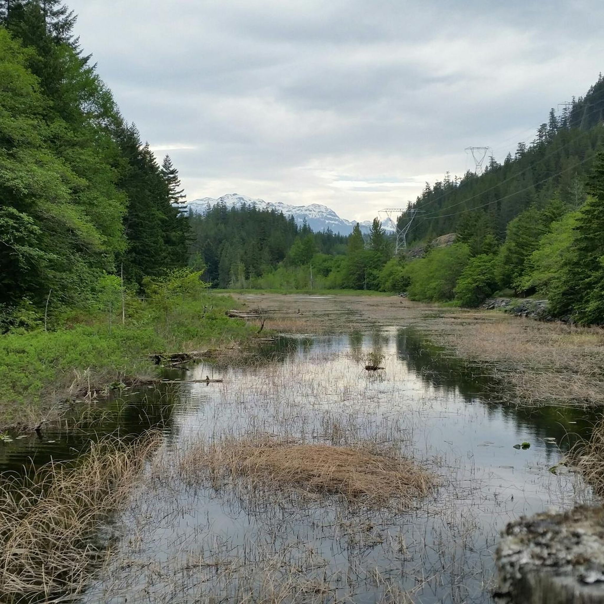
Hiking in Brohm Lake Interpretive Forest Trails
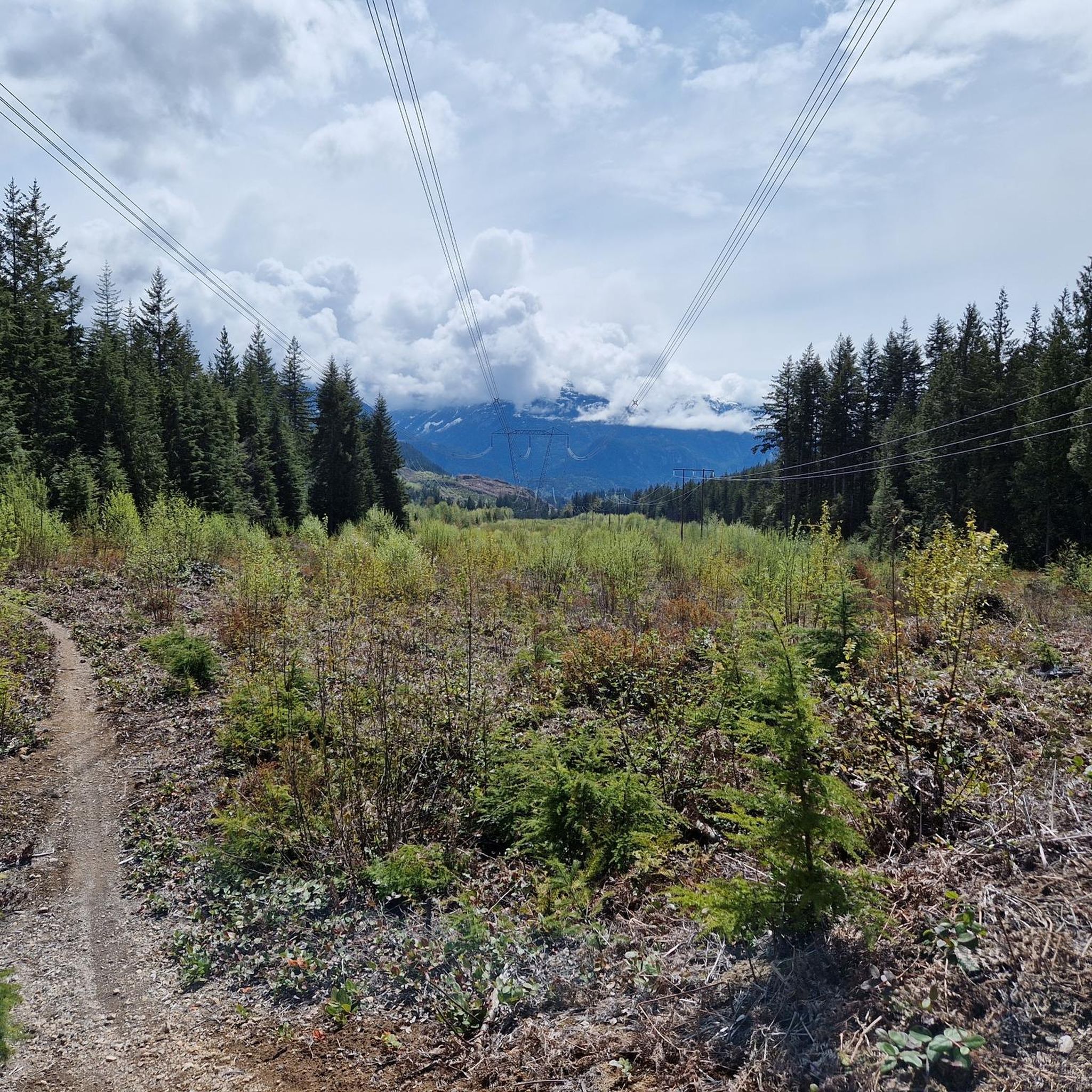
Running Trails in Brohm Lake Interpretive Forest Trails

Road Cycling Routes in Brohm Lake Interpretive Forest Trails

Tips from the Community

Zachary
March 23, 2026, Sea to Sky Trail

You get continuous views of the gorge from along the trail, which is easy and continues at a mild incline. The north end of the trail ends at a scenic overlook to the rail bridge over Cheakamus River.

0

0

Jamie S.
October 12, 2025, Squamish Cenotaph

The Squamish Cenotaph in British Columbia, located at 1361 Main Street, honors locals who served in the First and Second World Wars, with an added plaque for those who fought in Korea. It’s the centerpiece of the town’s Remembrance Day ceremony and a quiet spot year-round to reflect on the community’s history and sacrifices.

0

0

The Cheakamus River flows south through a 50-meter-deep, densely forested rocky gorge. In the distance, we can see the striking rocky peak of The Black Tusk.

2

0

Paradise Valley Campground Address: 3520 Paradise Valley Rd, Squamish, BC Phone: 604-898-1486 Email: info@paradisevalleycampground.net Web: http://paradisevalleycampground.net

0

0

There's road just before the bridge on your right (when Northbound) which leads to the Sunwolf Riverside Resort. Address: 70002 Squamish Valley Rd, Squamish, BC Phone: 1-877-806-8046 Email: sunwolf@sunwolf.net Web: http://www.sunwolf.net

1

0

D'Arcy T
February 12, 2019, Paradise Valley Road

Paradise Valley is a rural-residential area north of Brackendale located along the right (west) bank of the Cheakamus River. It begins just below that river's canyon, and continues downstream towards Cheekye, where the road from Brackendale crosses the Cheakamus. Located to the southwest of Brohm Lake, which is in the rocky upland on the other side of the Cheakamus and adjacent to BC Highway 99. Many Paradise Valley residents participate at the weekly farmers market in nearby Squamish.

1

0

Brackendale is a small community just north of Squamish town centre, it is within the District of Squamish. Brackendale is home to North America’s largest concentration of wintering bald eagles, bike shops, coffee shops, restaurants, art gallery and general store, the community of Brackendale is Squamish’s northernmost neighbourhood. https://www.exploresquamish.com/explore/brackendale

1

0

Philip
July 31, 2017, Brandywine Falls

A detour to the Brandywine Falls rewards you with a great view of the waterfall.

Translated by Google

0

0

Frequently Asked Questions

How many touring cycling routes are available in Brohm Lake Interpretive Forest Trails?

There are 18 dedicated touring cycling routes in the Brohm Lake Interpretive Forest Trails area, offering a variety of experiences for different skill levels.

Are there easy touring cycling routes suitable for beginners or families?

Yes, the region offers 6 easy touring cycling routes. A great option is View of the Squamish Estuary – The Watershed loop from Eagle Run, an 11.7-mile (18.8 km) path providing scenic views of the Squamish Estuary and following parts of the watershed.

What is the best time of year to go touring cycling in Brohm Lake Interpretive Forest Trails?

The best time for touring cycling in Brohm Lake Interpretive Forest Trails is typically from spring through fall. During these seasons, the weather is generally mild, and the trails are clear, allowing for comfortable rides through the dense woodlands and along the rivers. Always check local weather conditions before heading out.

Are there any circular touring cycling routes in the area?

Many of the touring cycling routes in Brohm Lake Interpretive Forest Trails are designed as loops. For example, the popular Brackendale Riverside View – The Watershed loop from Brohm Lake Interpretive Forest Trails is a 21.6-mile (34.9 km) circular route offering views of the Cheakamus River.

Where can I park when visiting Brohm Lake Interpretive Forest Trails for cycling?

Parking is generally available at various access points to the trails. Specific parking details can often be found on individual route pages or by checking local Squamish area resources for trailheads like those near Eagle Run or Garibaldi Estates, which are starting points for some routes.

What kind of terrain can I expect on the touring cycling routes?

The touring cycling routes in Brohm Lake Interpretive Forest Trails feature varied terrain. You can expect dense woodlands, watershed areas, and paths with views of the Squamish Estuary and Cheakamus River. Routes range from relatively flat riverside paths to those with moderate elevation changes, catering to different fitness levels.

Are there any advanced or difficult touring cycling routes?

Yes, for more experienced touring cyclists, there are 4 difficult routes. An example is The Watershed – Brackendale Riverside View loop from Tantalus 41105 block (SB), a challenging 60.6-mile (97.5 km) loop with significant elevation gain.

What do other touring cyclists enjoy most about the routes here?

The area is highly rated by the komoot community, with an average score of 4.9 stars from 5 reviews. Reviewers often praise the beautiful natural environment, the varied terrain, and the scenic views of the Cheakamus River and Squamish Estuary. Over 400 touring cyclists have used komoot to explore these trails.

Can I spot wildlife while cycling in Brohm Lake Interpretive Forest Trails?

The Brohm Lake Interpretive Forest Trails are set within a natural environment, making wildlife sightings possible. Cyclists might encounter various bird species, small mammals, and other local fauna typical of dense woodlands and watershed areas. Maintaining a respectful distance and observing from afar is always recommended.

Are there places to eat or get refreshments near the touring cycling routes?

While the immediate Brohm Lake Interpretive Forest Trails area is primarily natural, the routes often connect to or are near communities like Squamish, Brackendale, or Garibaldi Estates. These areas offer various cafes, restaurants, and shops where you can find refreshments and meals before or after your ride.

Are there any specific permits required for touring cycling in this area?

Generally, no specific permits are required for touring cycling on the established trails within Brohm Lake Interpretive Forest Trails. However, it's always advisable to check local regulations or park notices for any updates or specific requirements before your visit, especially for larger groups or organized events.

What is the typical duration for a touring cycling route in Brohm Lake Interpretive Forest Trails?

Route durations vary significantly based on length and difficulty. For instance, an easy route like Squamish Cenotaph – The Watershed loop from Garibaldi Estates, which is 10.4 miles (16.7 km), can be completed in about 59 minutes. Longer, more challenging routes can take several hours.

Most popular routes in Brohm Lake Interpretive Forest Trails

MTB Trails in Brohm Lake Interpretive Forest Trails

Store rating

Get inspired with the komoot mobile app

With a free komoot account, you can easily find, customize, and navigate endless outdoor adventures.

or

Join komoot Now

Store rating

Explore more

Browse the best Cycling routes in other regions.

VancouverCoast MountainsRocky MountainsElectoral Area AStanley Park National Historic SiteMonashee MountainsArea C (Pemberton Valley/Mount Currie/D'Arcy)Vancouver IslandVictoriaSaanichMetro Vancouver Regional ParksGrouse Mountain Regional ParkCapilano WatershedBurnabyVictoria Harbour Migratory Bird SanctuaryEast Central Okanagan Electoral AreaGaribaldi Provincial ParkEagle Mountain Recreation SiteOkanagan-Similkameen DColony Farm Regional ParkArea D (Elaho/Garibaldi)RichmondCentral SaanichWhistler Interpretive ForestBurnaby Lake Regional ParkOkanagan LakeDeas Island Regional ParkArea E (Naramata/Greyback)Buntzen Lake Recreation AreaCypress Provincial ParkSelkirk MountainsNorth SaanichAlice Lake Provincial ParkShowh Lakes-Ancient Cedars Trail Recreation SiteLangleySurreyMinnekhada Regional ParkSurrey Bend Regional ParkPitt MeadowsCapilano River Regional ParkNorth Okanagan BSooke Hills Wilderness Regional ParkȽáu,Welṉew̱/John Dean Provincial ParkArea D (Trinity/West Creighton)Tantalus Provincial ParkPinecone Burke Provincial ParkCodd Wetland Ecological Conservancy AreaMount Tuam Ecological ReserveDeltaKalamalka Lake Provincial ParkArea B (Shawnigan Lake)Satellite Channel Ecological ReserveCentral Okanagan JNorth CowichanOak Bay Islands Ecological ReserveFraser River Delta -- RamsarSea To Sea Regional ParkCapital GCowichan Valley GTəmtəmíxʷtən/Belcarra Regional ParkBrackendale Eagles Provincial ParkPacific Spirit Regional ParkGoldstream Provincial ParkGowlland Tod Provincial ParkCoquitlam WatershedPurcell MountainsMount Seymour Provincial ParkBoundary Bay Regional ParkSalt Spring Island Electoral AreaNanaimoKanaka Creek Regional ParkArea E (Chilliwack River Valley)Brohm Lake Day Use Recreation SiteTynehead Regional ParkAyum Creek Regional Park ReserveNanaimo GComox Valley B (Lazo North)Burnaby Mountain Conservation AreaBear Creek Provincial ParkCowichan Valley FMount Maxwell Ecological ReserveSooke Mountain Provincial ParkFraser Islands Regional Park ReserveArea C (Inkaneep/Willowbrook)Blaney Bog Regional Park ReserveUbc Malcolm Knapp Research ForestBlackcomb Glacier Provincial ParkAbbotsfordArea P (Rivers and the Peaks)Area C (Moyie/Bull River)Okanagan Mountain Provincial ParkArea G (Deroche/Dewdney/Sumas Mountain)K'Ómoks Royston LandsNanaimo ERathtrevor Beach Provincial ParkUpper Trent River WoodlandsSkaha Bluffs Provincial ParkCultus Lake Provincial ParkKoksilah River Provincial ParkCrown Land ReserveIona Beach Regional ParkMyra-Bellevue Provincial ParkArea A (Upper Flathead/Elk Valley)Area F (Alberni Highway)Burns Bog Ecological Conservancy AreaMount Maxwell Provincial ParkVedder Mountain Interpretative ForestLower Seymour Conservation ReserveMaple RidgePitt LakeNorth Cowichan Municipal Forest ReserveBurgoyne Bay Provincial ParkArea B (Discovery Islands/Mainland Inlets)Seal Bay Regional Nature ParkArea A (Baynes Sound)Seymour WatershedArea D (Oyster Bay/Buttle Lake)Alaksen National Wildlife AreaLynn Headwaters Regional ParkSunshine Coast Regional DistrictArea L (Grasslands)Cougar Canyon Ecological ReserveSumas Mountain Regional ParkStawamus Chief Provincial ParkStephens Coyote Ridge Regional ParkArea C (Puntledge/Black Creek)Mount Fernie Provincial ParkArea C (Arrowsmith-Benson)Fraser River Ecological ReserveGolden Ears Provincial ParkHillkeep Regional ParkUpper Puntledge River WoodlandsCowichan River Provincial ParkGlen Valley Regional ParkGeorge C. Reifel Migratory Bird SanctuaryArea F (Trout Creek Valley)Area J (Copper Desert Country)Area B (Lake Koocanusa)Robert'S Lake Regional ParkArea A (Kicking Horse/Kinbasket Lake)Tsable Lakes WoodlandsArea F (Columbia Lake/Windermere Lake)South Star Recreation TrailMill Farm Regional Park ReserveMount Gardner Recreation SiteArea H (Lighthouse Country)Woodley Range Ecological ReserveFraser Valley DArea E (Saint Mary/Skookumchuck)Area G (Forster Creek/Mount Assiniboine)Crippen Regional ParkRuckle Provincial ParkEllison Provincial ParkBeaver Lodge Forest LandsArea I (Youbou / Meade Creek)Cowichan LakeArea A (Osoyoos Lake)Brandywine Falls Provincial ParkColumbia National Wildlife AreaArea F (Willow River/Upper Fraser)Alberni-ClayoquotThwaytes Landing Regional ParkWidgeon Marsh Regional Park ReserveHelliwell Provincial ParkKootenay National ParkArea C (Sasquatch Country)Read Island Provincial ParkArea D (Tabor Lake/Stone Creek)Area C (Chilako River/Nechako)Pacific Rim National Park Reserve - Long Beach UnitArea G (Upper Similkameen/Hedley)Area E (Balfour/Cottonwood Lake)Area A (Kyuquot/Nootka/Sayward)Windermere Lake Provincial ParkLiumchen Ecological ReserveSpallumcheenArea B (Cawston/Lower Similkameen)Harrison LakeBoyle Point Provincial ParkMount Geoffrey Escarpment Provincial ParkKootenay Boundary EWest Arm Provincial ParkArea F (McConnell Creek/Hatzic Prairie)Silver Star Provincial ParkBeaufort East WoodlandsArea G (Salmo Valley)Elk Falls Provincial ParkUpper Little Qualicum River WoodlandsBodega Ridge Provincial ParkArea B (Shelter Bay/Mica Creek)Mt. Macpherson Cross-Country Trails Recreation SiteMount Revelstoke National ParkMount Revelstoke National ParkArea J (Lower Arrow/Columbia)Area H (The Slocan Valley)Campbell Valley Regional ParkMount Richardson Provincial ParkCallaghan ConservancyTrinity Ricardo Trail Recreation SiteBlue Mountain Recreation SiteArea B (Lower Columbia/Old Glory)Nairn Falls Provincial ParkAlouette LakeDenman Island Provincial ParkArea A (Malaspina/Toba)Area B (Paradise Valley)Area C (Lois Lake/Saltery Bay)Little Qualicum Falls Provincial ParkMount Begbie Recreation SiteMt Begbie Area Recreation SiteYoho National ParkHazelton MountainsArea A (Hudson Bay Mountain)Skeena MountainsArea B (Cayoosh/Pavilion)

Nearby adventure guides

Things to Do in Brohm Lake Day Use Recreation Site

background

Get ready to conquer new peaks

Sign up for Free

Explore
RoutesRoute plannerFeaturesHikesMTB TrailsRoad cycling routesBikepackingSitemap
Download the app
Follow Us on Socials

© komoot GmbH

Privacy Policy
