The best MTB trails in Tantalus Provincial Park
4.3
(28)
2,427
riders
34
rides
Mountain bike trails in Tantalus Provincial Park are set against a backdrop of rugged peaks, expansive glaciers, and dense old-growth forests. The region is characterized by the dramatic Tantalus Range, featuring craggy summits and cascading mountain streams. While the provincial park itself is a remote wilderness area, the surrounding region offers a variety of mountain biking routes that provide views of these impressive landscapes. These trails often traverse forested terrain and offer challenging ascents and descents.
Best mountain bike trails…
Last updated: May 15, 2026
6
riders
13.2km
01:05
240m
240m
Hard mountain bike ride. Great for any fitness level. Advanced riding skills necessary. Some portions of the route may require you to push your bike.
5.0
(5)
126
riders
20.3km
01:56
520m
520m
Hard mountain bike ride. Good fitness required. Advanced riding skills necessary. Some portions of the route may require you to push your bike.

Sign up for free
61
riders
14.5km
01:28
400m
400m
Hard mountain bike ride. Good fitness required. Advanced riding skills necessary. Some portions of the route may require you to push your bike.
4.5
(2)
19
riders
101km
08:27
1,520m
1,520m
Hard mountain bike ride. Very good fitness required. Advanced riding skills necessary. Some portions of the route may require you to push your bike.
9
riders
25.6km
02:09
470m
470m
Hard mountain bike ride. Good fitness required. Advanced riding skills necessary. Some portions of the route may require you to push your bike.
Get access to more routes and recommendations from other explorers.
Sign up for free
Already have an account?
Our route recommendations are based on thousands of hikes, rides, and runs completed by other people on komoot.
Start today with a free account
Your next adventure awaits.
Login or Signup

Tips from the Community

Trestle Trail is a short singletrack that branches off from the Coho Park Trail at a junction just inside the park, winding through old-growth forest along outcrops of smooth, glacier-polished granite. It’s mainly a mountain biking trail but is also popular with hikers and trail runners, and connects to the wider Garibaldi Highlands trail network.
0
0
Coho Park is beautiful, tucked between the Garibaldi Estates and Garibaldi Highlands neighbourhoods at the northeastern edge of the city. It’s a rare example of an urban temperate rainforest, where the forest floor is filled with ferns, mosses, and small plants, with a canopy of tall conifers that shuts out much of the sky above. The park gets its name from the coho salmon that spawn in Meighan Creek, which flows through the park on its way to the Squamish River, and is a popular spot for hiking, trail running, and mountain biking.
0
0


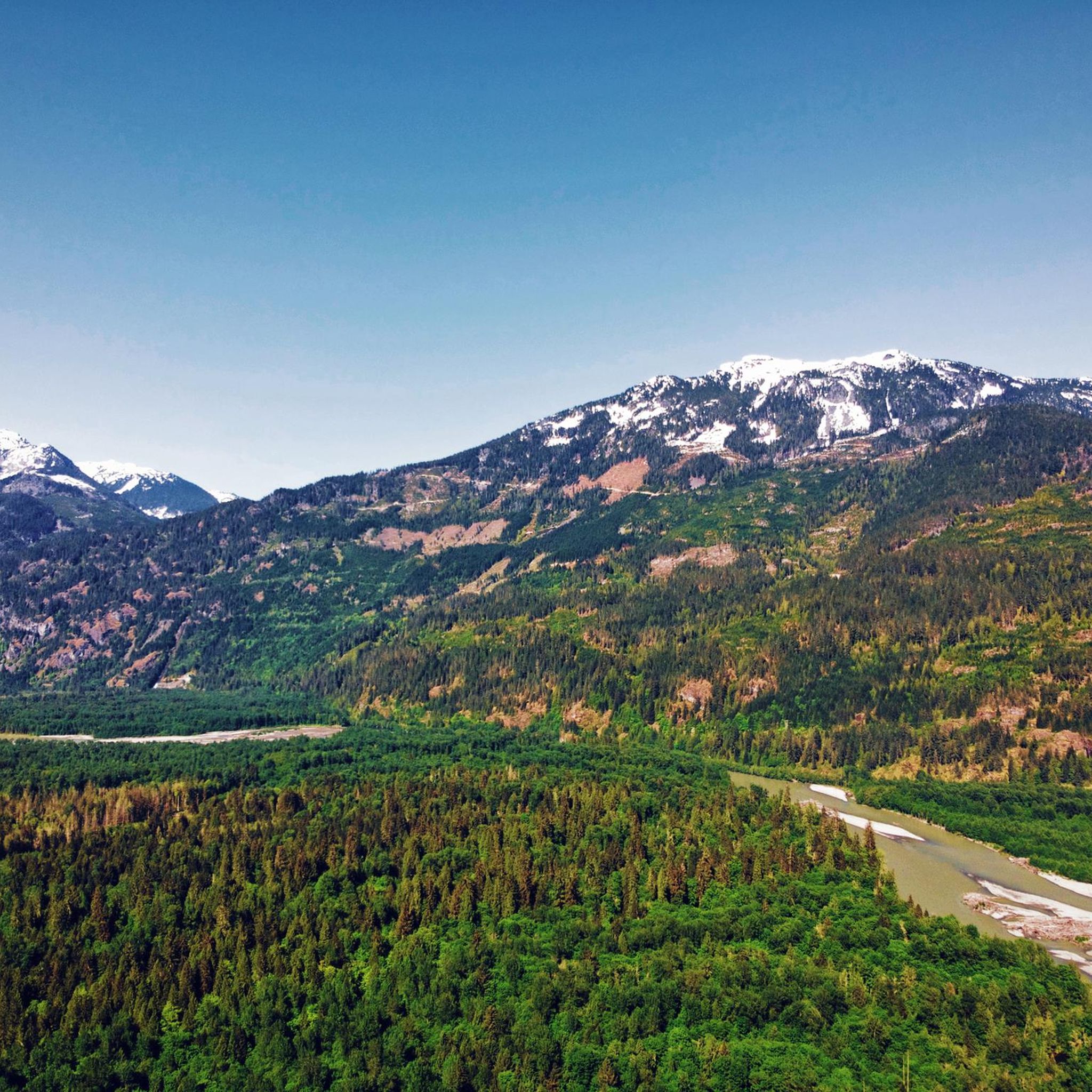
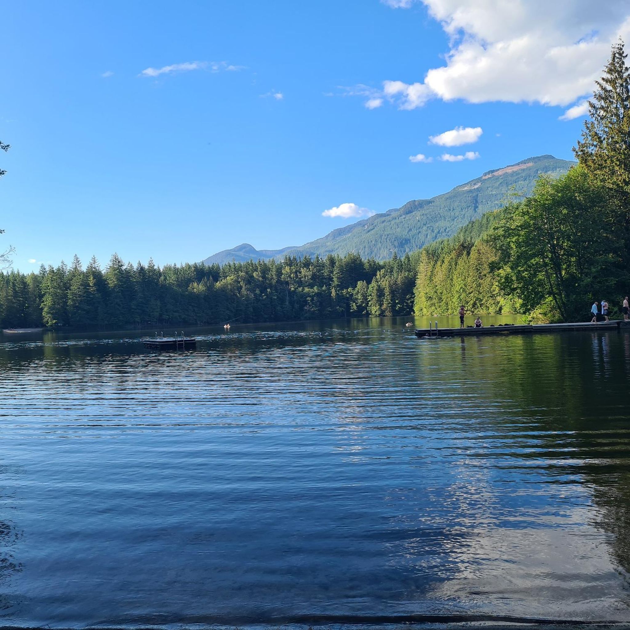
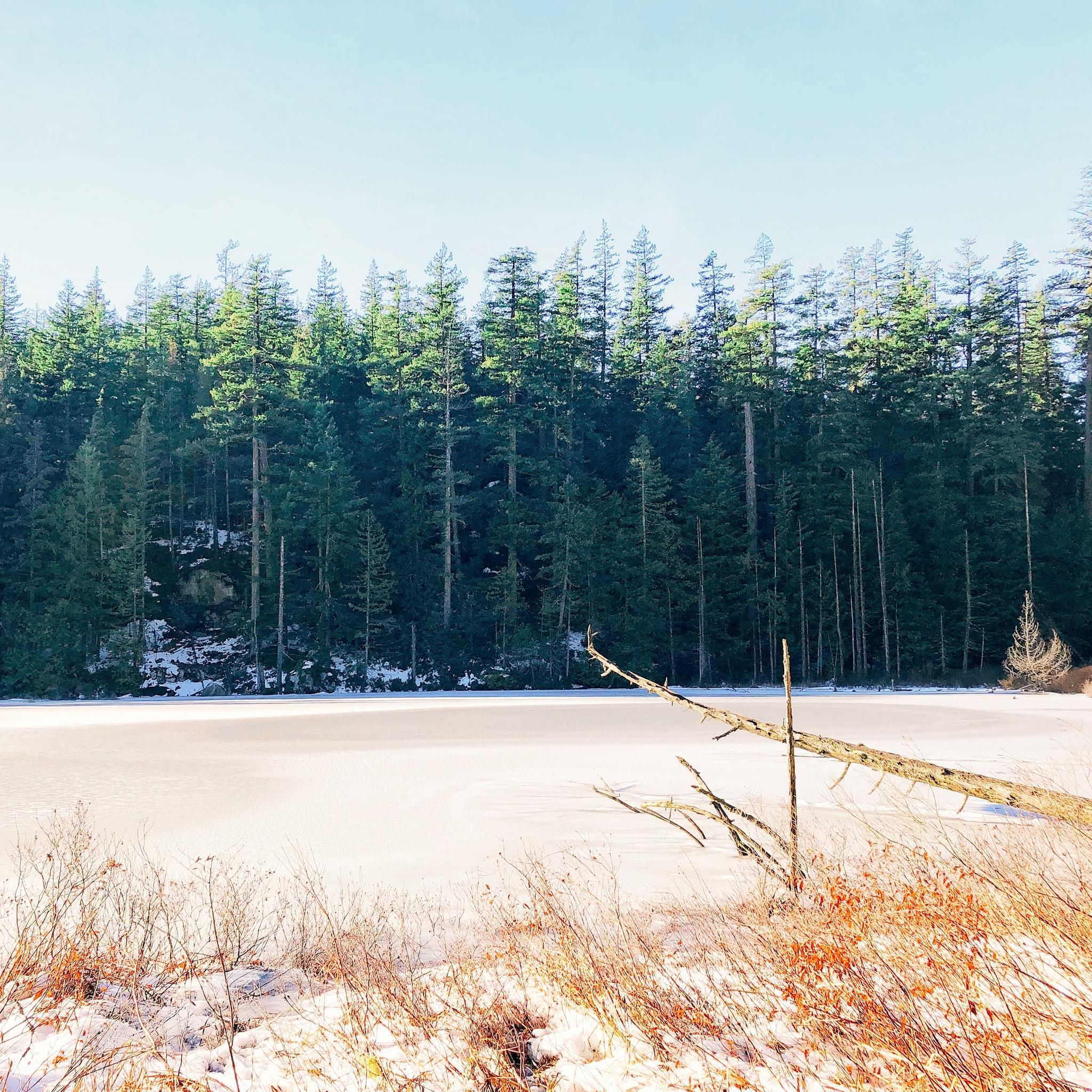
Edith Lake is a small lake tucked within the forested hills of the Garibaldi Highlands, surrounded by towering Douglas-fir and cedar evergreens, with views of the Tantalus Range and Coast Mountains in the background. The trails here are well-marked and easy to follow.
0
0

A short but steady climb through classic Squamish forest, linking the Coho Park network to higher viewpoints. The trail weaves between tall cedar and fir, with sections of exposed roots and soft loam underfoot.
0
0
A gently winding stroll through lush temperate rainforest on Squamish’s edge, where boardwalks and moss-covered trees lead you to a hidden creek and gentle green canopy. Ideal for all ages and perfect for a quick nature reset.
0
0

From the southern vantage point of Brandywine Falls, you have a magnificent view of Daisy Lake Reservoir and Black Tusk Mountain in the Garibaldi Ranges of the Coast Mountains. The Daisy Lake Reservoir was created in 1926 after the construction of the Cheakamus Dam; the dam was replaced in 1984. The reservoir is part of the Cheakamus Hydroelectric Power Plant on the Squamish River. https://www.bchydro.com/energy-in-bc/operations/transmission-reservoir-data/previous-reservoir-elevations/lower-mainland/daisy_lake_dsy.html
0
0
Brandywine Falls is a popular waterfall along the Sea-to-Sky Corridor between Vancouver and Whistler. The falls plunge 59 meters over a cliff that was carved into a deep canyon by eruptions from the nearby Garibaldi volcanic field and the erosive power of Brandywine Creek. Brandywine Creek originates from two glaciers on Brandywine Mountain and Mount Fee. The name of the Falls is said to come from a bet between two Canadian Pacific Railroad workers who bet on the height of the Falls. There are different estimates of the height of the Falls: BC Provincial Park Service - 70 meters; other sources - 65 meters. Measurements in May 2018 showed a height of 59 meters. (Visit June 5, 2018 & May 24, 2025) https://www.worldwaterfalldatabase.com/waterfall/Brandywine-Falls-2036
2
0
Frequently Asked Questions
How many mountain bike trails are available in the Tantalus Provincial Park region?
There are over 35 mountain bike trails available in the region surrounding Tantalus Provincial Park. These routes offer a variety of experiences, from challenging climbs to scenic descents, with most routes rated as difficult.
What is the general difficulty level of mountain biking trails near Tantalus Provincial Park?
The mountain biking trails in the Tantalus Provincial Park region are predominantly challenging. Out of 35 available routes, 26 are rated as difficult, 8 as moderate, and only 1 as easy. Riders should expect significant elevation changes and technical sections.
Are there any family-friendly mountain biking options in the Tantalus Provincial Park area?
While the majority of trails in the immediate Tantalus Provincial Park region are rated difficult, there is at least one easy route available. For families seeking less strenuous rides, it's advisable to look for trails specifically designated as easy or beginner-friendly in the broader Squamish area, which offers a wider range of options.
Can I bring my dog on the mountain bike trails near Tantalus Provincial Park?
Tantalus Provincial Park is a remote wilderness area with strict regulations to protect wildlife. While specific trail rules for dogs can vary, it's generally recommended to check the current park regulations or local trail signage. Many trails in the broader Squamish region are dog-friendly, but always ensure your dog is under control and that you pack out all waste.
What are some notable landmarks or viewpoints accessible by mountain bike in the region?
While Tantalus Provincial Park itself is known for its rugged peaks and glaciers, mountain biking trails in the surrounding area often offer stunning views of the Tantalus Range. Routes like the Train Wrecks – Brandywine Falls loop from Squamish Airport can take you past natural attractions and offer scenic vistas.
What is the best time of year for mountain biking in the Tantalus Provincial Park region?
The best time for mountain biking in the Tantalus Provincial Park region is typically from late spring through early autumn (May to October). During these months, trails are generally free of snow, and the weather is more favorable. Always check local trail conditions and weather forecasts before heading out, especially in shoulder seasons.
Are there any loop trails for mountain biking in the Tantalus Provincial Park area?
Yes, many of the mountain bike routes in the region are designed as loops, offering varied terrain and scenery without retracing your path. Examples include the challenging Hueso – In and Out Burger loop from Sandman Hotel & Suites Squamish, the Boney Elbows – Hueso loop from Government at Olson, and the Pamplemousse loop from Sandman Hotel & Suites Squamish.
What do other mountain bikers enjoy most about the trails near Tantalus Provincial Park?
The area is highly rated by the komoot community, with an average score of 4.3 stars. Reviewers often praise the challenging nature of the trails, the diverse terrain, and the opportunity to experience the rugged beauty of the region, often with views of the impressive Tantalus Range.
What kind of terrain can I expect on mountain bike trails in this region?
Mountain bike trails in the Tantalus Provincial Park region traverse varied terrain, including dense old-growth forests, sections with roots and rocks, and areas with significant elevation changes. Riders should be prepared for challenging ascents and descents, characteristic of the rugged Tantalus Range landscape.
Are there any long-distance mountain bike routes available?
Yes, for experienced riders seeking a longer adventure, routes like the Train Wrecks – Brandywine Falls loop from Squamish Airport offer a substantial ride of over 100 kilometers, with significant elevation gain, providing an all-day challenge.
What should I wear for mountain biking in the Tantalus Provincial Park region?
Given the challenging terrain and variable mountain weather, it's advisable to wear appropriate mountain biking gear, including a helmet, gloves, and protective eyewear. Layered clothing is recommended to adapt to changing temperatures, and sturdy, grippy shoes are essential. Always carry water, snacks, a repair kit, and navigation tools.
Are there any amenities or cafes near the mountain bike trailheads?
Tantalus Provincial Park itself is a remote wilderness area with no facilities. However, many of the mountain bike trailheads that offer views of the park or are in the general vicinity are located closer to Squamish, where you can find various amenities, including cafes, restaurants, and accommodation options.
Most popular routes in Tantalus Provincial Park

Get inspired with the komoot mobile app


Explore more
Browse the best MTB trails in other regions.
