The best walks and hikes around Hönningen
4.5
(1804)
7,596
hikers
28
hikes
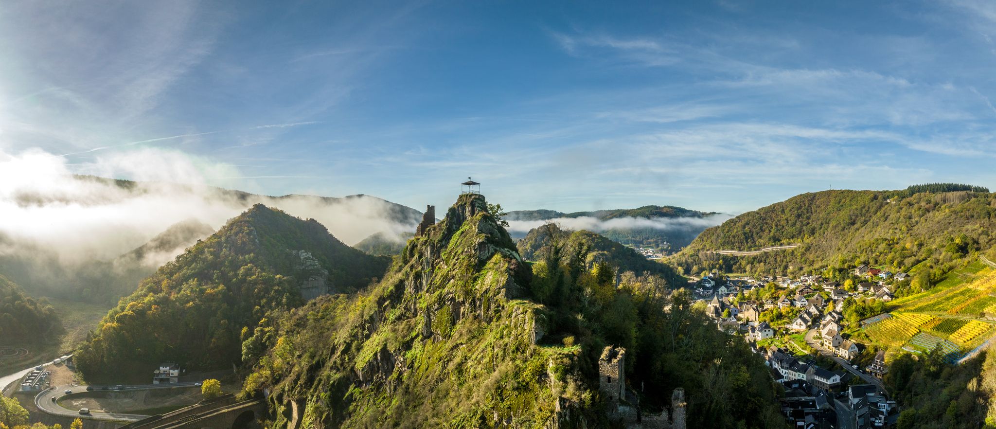
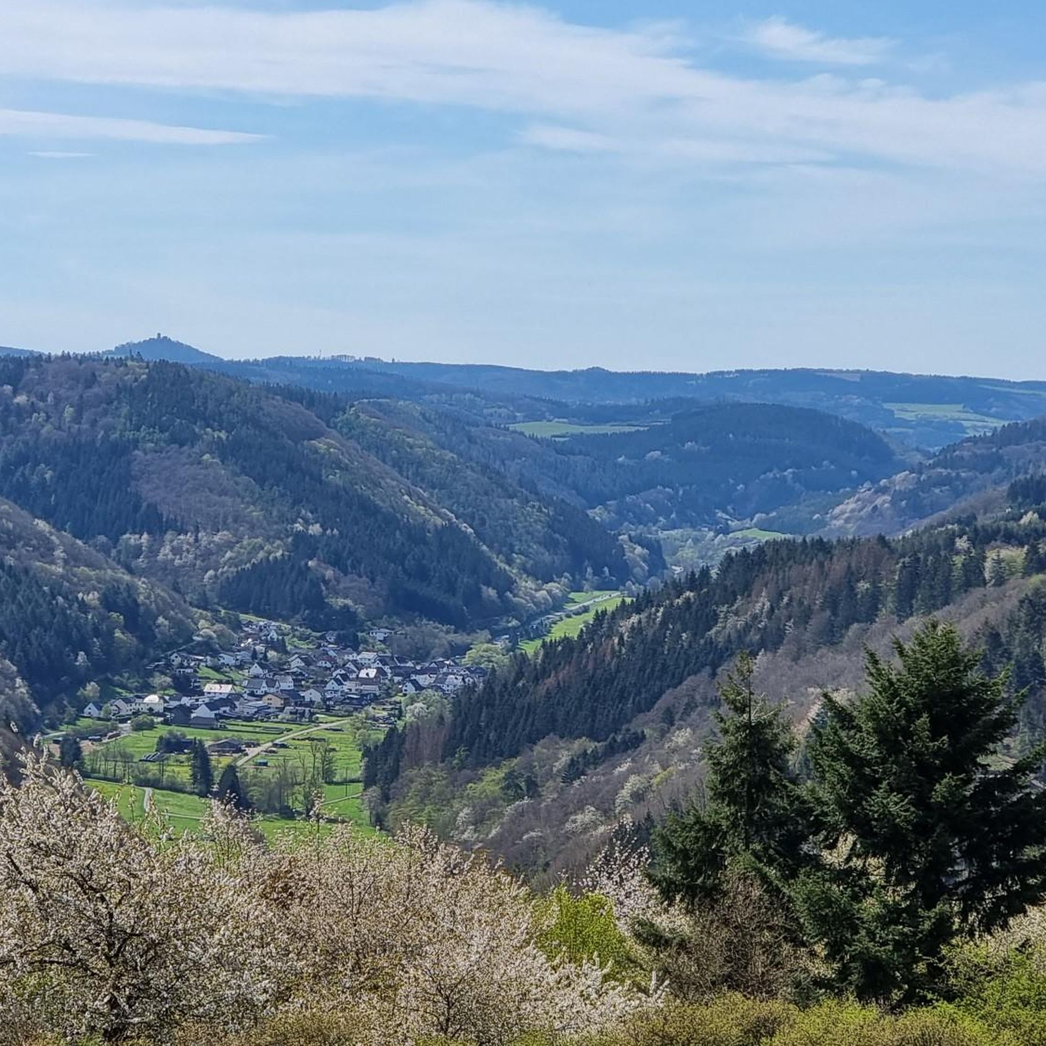
Hiking around Hönningen offers a variety of trails through forested hills and along river valleys. The region is characterized by its diverse topography, including prominent rock formations and elevated viewpoints. Trails often traverse woodlands and open areas, providing varied scenery. This landscape provides options for different hiking experiences, from riverside paths to routes with significant elevation gain.
Best hiking trails around Hönningen
- The most popular hiking route is Teufelsleyweg Hönningen, a 5.8 miles (9.3 km) trail that takes 2…
Last updated: September 26, 2026
4.4
(71)
210
hikers
9.28km
02:50
320m
320m
Moderate hike. Good fitness required. Easily-accessible paths. Suitable for all skill levels.
4.6
(25)
88
hikers
8.22km
02:28
260m
260m
Moderate hike. Good fitness required. Easily-accessible paths. Suitable for all skill levels.

4.9
(20)
68
hikers
14.8km
04:15
360m
360m
Moderate hike. Good fitness required. Easily-accessible paths. Suitable for all skill levels.
4.7
(6)
37
hikers
Moderate hike. Good fitness required. Easily-accessible paths. Suitable for all skill levels.
4.5
(10)
23
hikers
11.5km
03:25
330m
330m
Moderate hike. Good fitness required. Easily-accessible paths. Suitable for all skill levels.
Get access to more routes and recommendations from other explorers.
Already have an account?
Our route recommendations are based on thousands of hikes, rides, and runs completed by other people on komoot.
Start today with a free account
Your next adventure awaits.
Other adventures around Hönningen

Tips from the Community


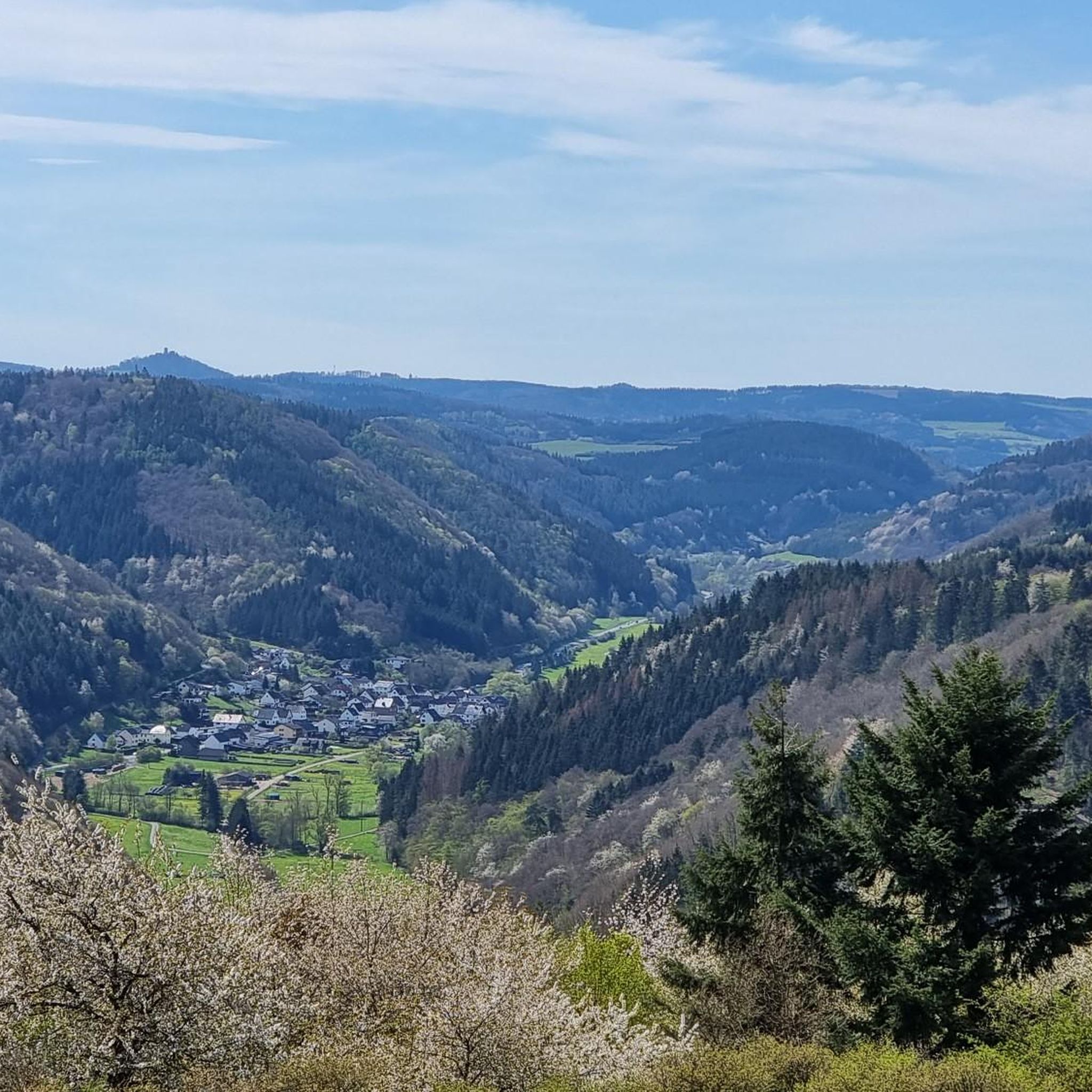
The Lind Panorama Trail is a true feast for the eyes. From the bench with its panoramic view, your gaze sweeps all the way to the highest mountain in the Eifel region, the Hohe Acht at 748 meters, and next to it, the Nürburgring. It seems as if you could see far beyond the horizon.
0
0

Here is another bench if the first bench is already occupied, and the view is also beautiful :) of the great volcano mountain Aremberg
0
0

2 stamps are currently in the box (stages 3 and 4).
0
0

The hut can be rented for parties. We enjoyed the benches for a rest. The restrooms were closed today.
0
0
Beautiful covered rest area with a wonderful view.
1
0
Frequently Asked Questions
How many hiking trails are available around Hönningen?
There are over 25 hiking trails around Hönningen, offering a range of experiences. You'll find approximately 9 easy routes and 19 moderate routes, with no difficult trails, making it accessible for various fitness levels.
Are there any easy or beginner-friendly hiking routes in Hönningen?
Yes, Hönningen offers several easy routes suitable for beginners. Approximately 9 of the trails are classified as easy, providing gentle paths through the region's scenic landscapes.
What kind of terrain can I expect on hikes around Hönningen?
The terrain around Hönningen is characterized by forested hills, river valleys, and notable rock formations. You can expect a mix of woodland paths and open areas, with some routes featuring significant elevation changes, particularly around the prominent quartzite formations.
Are there any circular walks available in Hönningen?
Many routes in Hönningen are designed as circular walks. For example, the Teufelsley rock formation – Teufelsley Quartzite Formation loop from Hönningen is a moderate 5.6-mile (9.0 km) circular trail exploring unique rock formations. Another option is the Bench With a View of Hönningen – View of Hönningen an der Ahr loop from Hönningen, a 4.4-mile (7.1 km) loop with scenic views.
What are some notable viewpoints or landmarks I can see while hiking?
Hönningen's trails offer several scenic viewpoints and landmarks. You can visit the Devil's Hole, explore the Ruins of Marienthal Monastery, or enjoy panoramic vistas from Altenahrer Eck. The Teufelsleyweg Hönningen specifically features the impressive Teufelsley rock formation.
Is Hönningen a good destination for family-friendly hikes?
Yes, Hönningen offers several routes suitable for families, particularly among the 9 easy trails available. These paths are generally shorter and have less elevation gain, making them enjoyable for all ages. Consider routes that explore the river valleys for a gentler experience.
Are dogs allowed on the hiking trails in Hönningen?
Generally, dogs are welcome on hiking trails in Hönningen. It's always advisable to keep your dog on a leash, especially in forested areas or near wildlife, and to carry waste bags. Always check local signage for any specific restrictions on certain paths or nature reserves.
What is the best time of year to go hiking in Hönningen?
The best time for hiking in Hönningen is typically from spring through autumn (April to October). During these months, the weather is generally mild, and the landscapes are vibrant. Autumn offers particularly beautiful foliage. Winter hiking is possible, but some paths might be slippery or less accessible due to snow or ice.
Are there options for public transport access to hiking trails in Hönningen?
Hönningen is connected by local bus services, which can provide access to some trailheads. For specific routes, it's recommended to check local public transport schedules and stops in relation to your chosen starting point. Many trails are also accessible by car, with parking often available near villages or designated trailheads.
What do other hikers enjoy most about hiking in Hönningen?
The hiking routes in Hönningen are highly rated by the komoot community, with an average score of 4.5 stars from over 1400 reviews. Hikers often praise the diverse scenery, including the unique rock formations and river views, as well as the well-maintained paths and the variety of options for different skill levels.
Are there any less crowded hiking options around Hönningen?
While popular routes like the Teufelsleyweg can see more visitors, exploring some of the less-known moderate trails or those starting from smaller villages further afield can offer a quieter experience. Routes like Schwanert Hut Viewpoint – Lower Castle Gate loop from Dümpelfeld, while longer, might offer more solitude.
Are there any cafes or refreshment stops near the hiking trails?
Hönningen and nearby villages offer various cafes and restaurants where you can refuel before or after your hike. It's a good idea to check opening times in advance, especially if you're hiking in more remote areas or during off-peak seasons. Some trails might also pass by traditional inns or beer gardens.
Most popular routes around Hönningen
Most popular attractions around Hönningen

Get inspired with the komoot mobile app


Explore more
Browse the best Hikes in other regions.
