The best cycling routes around Hommerdingen
4.3
(2222)
11,239
riders
295
rides
Touring cycling routes around Hommerdingen are situated in the Eifelkreis-Bitburg-Prüm region, characterized by its varied topography. The area features dense forests, serene rivers, and tranquil lakes, providing diverse landscapes for cycling. Riders can explore picturesque valleys and undulating terrain, with some routes extending towards the Mosel river. This geographical setting offers a range of cycling experiences across different elevations.
Best touring cycling routes around Hommerdingen
- The most popular touring cycling route is Dillinger Bridge – Wallendorf Bridge loop from Hommerdingen…
Last updated: September 30, 2026
4.4
(18)
71
riders
21.8km
01:33
350m
350m
Moderate bike ride. Good fitness required. Mostly paved surfaces. Suitable for all skill levels.
4.9
(28)
102
riders
Hard bike ride. Very good fitness required. Mostly paved surfaces. Suitable for all skill levels.

4.5
(11)
41
riders
32.8km
02:52
550m
550m
Hard bike ride. Very good fitness required. Mostly paved surfaces. Suitable for all skill levels.
4.7
(3)
20
riders
24.4km
02:11
390m
390m
Moderate bike ride. Good fitness required. Mostly paved surfaces. Suitable for all skill levels.
5.0
(1)
9
riders
31.3km
02:06
450m
440m
Moderate bike ride. Good fitness required. Mostly paved surfaces. Suitable for all skill levels.
Get access to more routes and recommendations from other explorers.
Already have an account?
Our route recommendations are based on thousands of hikes, rides, and runs completed by other people on komoot.
Start today with a free account
Your next adventure awaits.
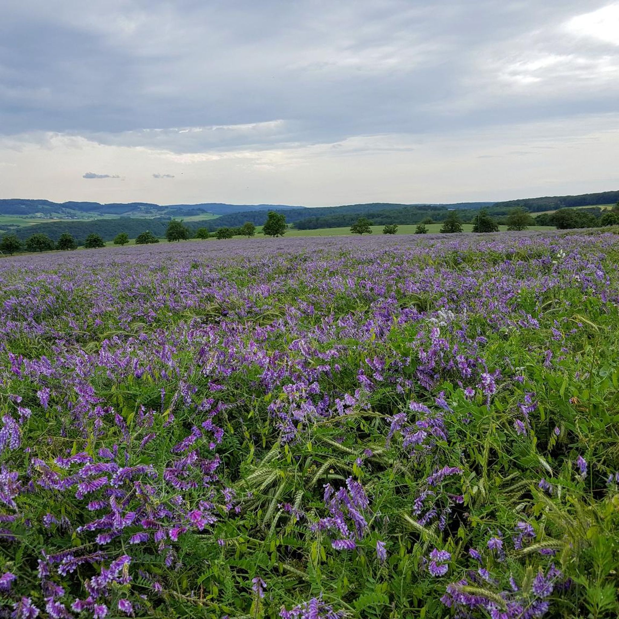

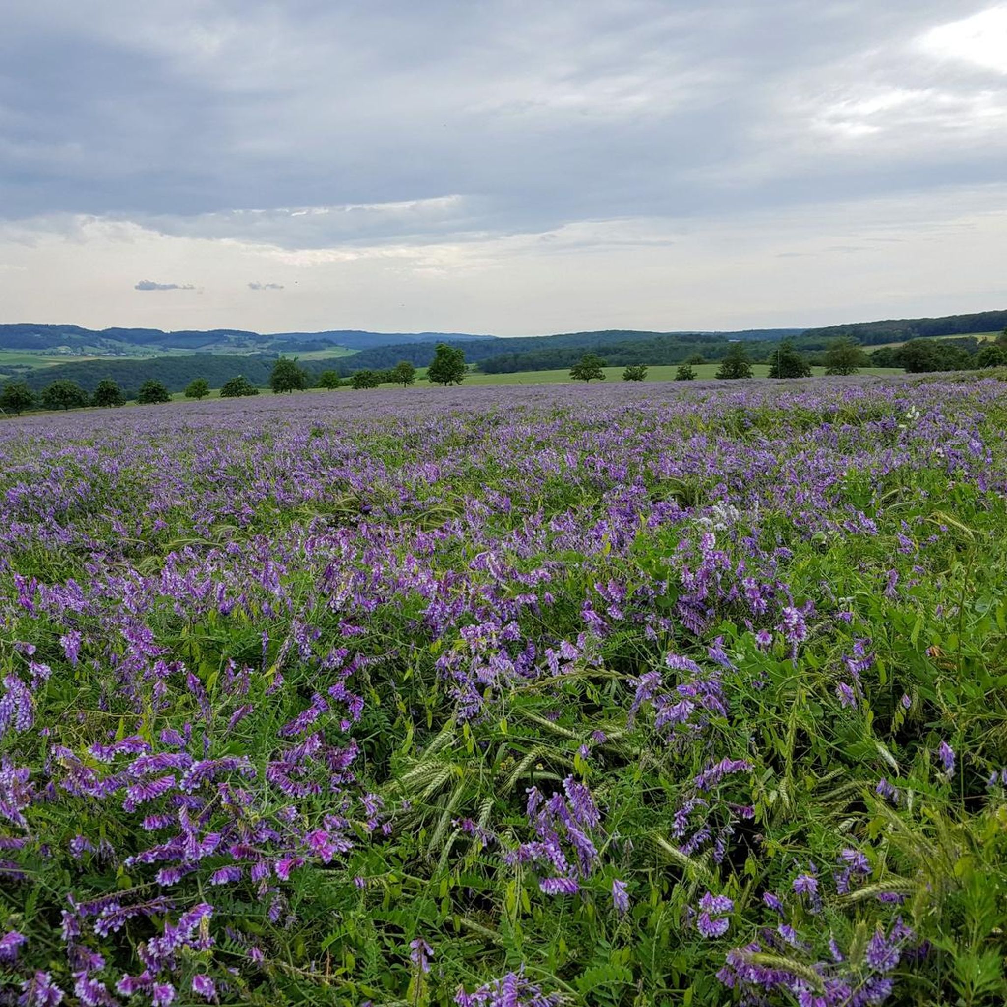
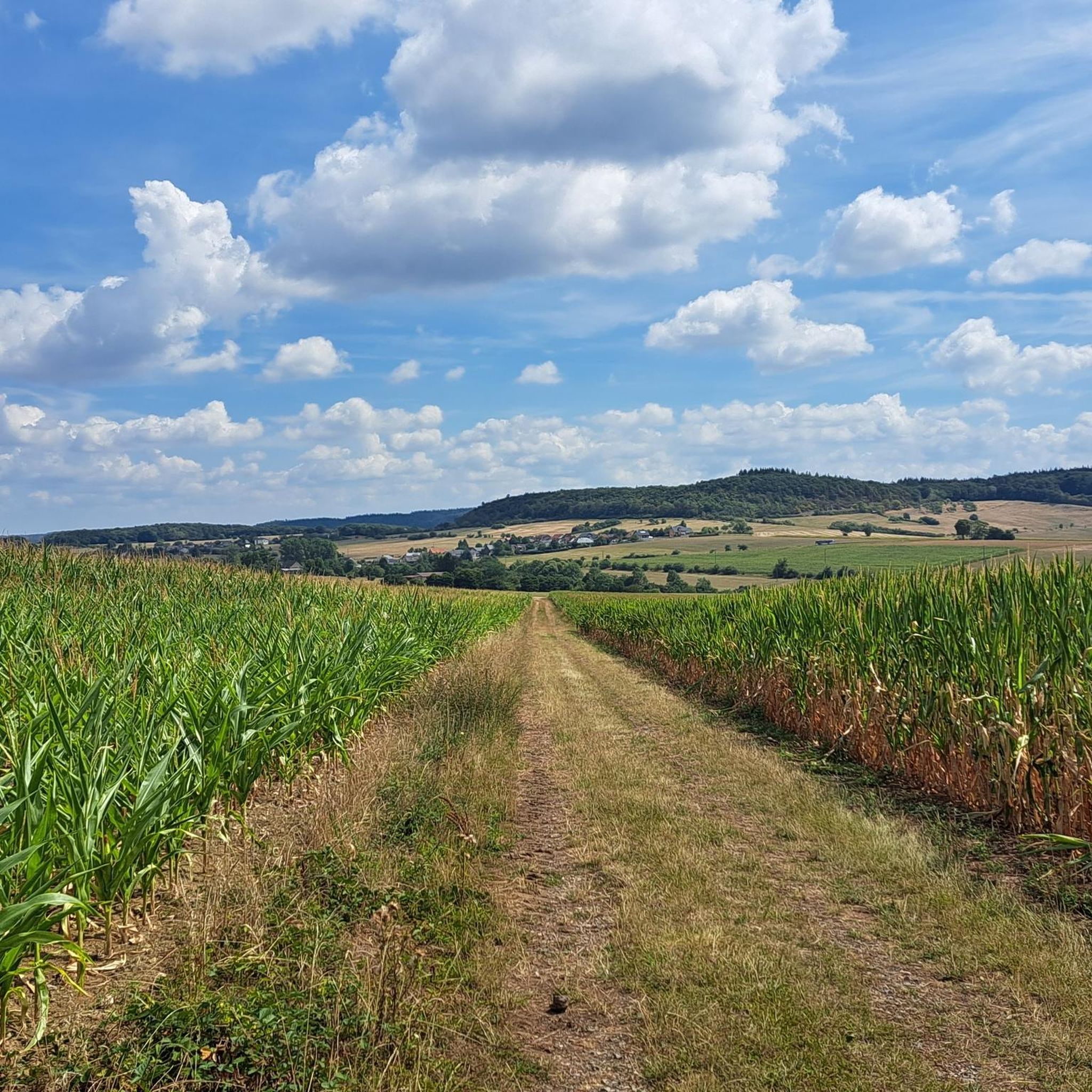
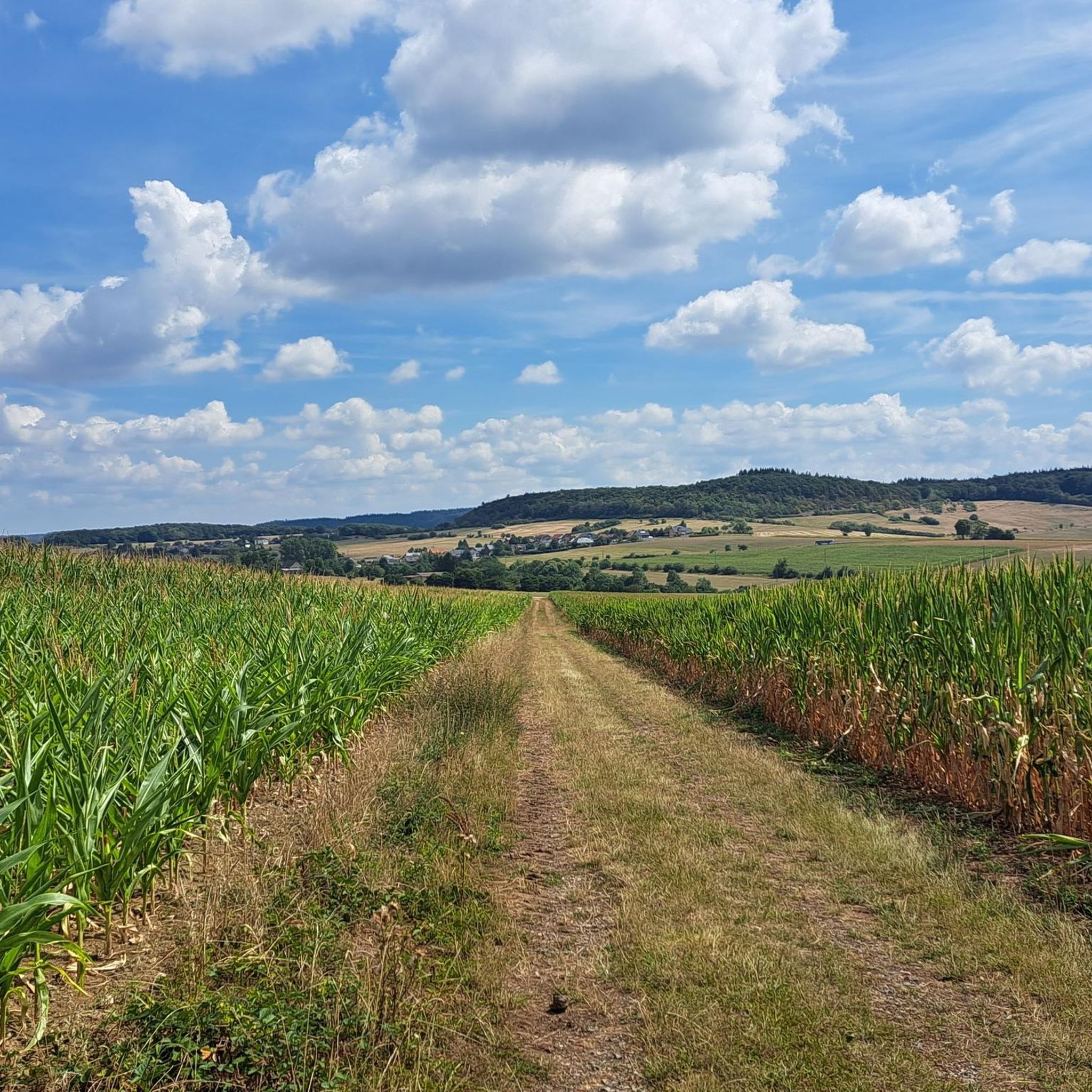

Tips from the Community

Built in 1955 as a thank you for the return from Russian captivity of Johann Peter Colle
0
0

A very quiet bike path, even in summer. Nice and smooth too.
1
0

Completed in 1952, this arched bridge connects Luxembourg with Germany across the Sûre River. It replaced an older ford and symbolizes the functional connection between the two countries.
5
0
The Schwaarz Lërrnz is a small, picturesque river in eastern Luxembourg. It rises near Christnach, flows through the rocky valley of the Mullerthal—also known as 'Luxembourg's Little Switzerland'—and finally empties into the Sûre near Grundhof. Its clear, cool current winds through forests, gorges, and rocks, a typical feature of the region.
3
0
A border crossing that is no longer recognizable as such.
2
0
Nice to look at. The bike path runs right past it.
3
1

Beautiful bridge, unfortunately it's closed. You can relax on a bench next to it.
1
0

Here the pig was slaughtered...
0
1
Frequently Asked Questions
How many touring cycling routes are available around Hommerdingen?
Hommerdingen offers a wide selection of touring cycling routes, with over 300 options available. These routes vary in distance and difficulty, catering to different preferences and skill levels.
What types of terrain can I expect on touring cycling routes in Hommerdingen?
The touring cycling routes around Hommerdingen are characterized by varied topography. You can expect to cycle through dense forests, along serene rivers, past tranquil lakes, and through picturesque valleys. Some routes also feature undulating terrain, with options extending towards the Mosel river.
Are there any easy touring cycling routes suitable for beginners or families?
Yes, Hommerdingen offers a good selection of easier routes. There are 37 easy touring cycling routes, perfect for beginners or families looking for a more relaxed ride. These routes allow you to enjoy the scenic landscapes without significant challenges.
What are some challenging touring cycling routes for experienced riders?
For experienced touring cyclists seeking a challenge, Hommerdingen provides 146 difficult routes. An example is the Echternach Border Bridge – Nimstalbahn Viaduct Irrel loop from Hüttingen bei Lahr, a 59.7 km path that traverses dense forests and follows serene river sections, offering a demanding journey.
What kind of natural attractions can I see along the touring cycling routes?
The region around Hommerdingen is rich in natural beauty. You can encounter features like the Riverside Path Along the Our Reservoir with Views of Vianden Castle, or enjoy views of the Pond in Naturpark Südeifel. The area is also known for picturesque valleys and the Hängebrücke Irreler Wasserfälle (suspension bridge near waterfalls).
Are there any historical landmarks or castles to explore near the cycling routes?
Absolutely. Hommerdingen itself is home to Rittersdorf Castle, a medieval fortress. Nearby, you can also explore other significant castles like Vianden Castle and Medieval Castle Beaufort. Some routes might offer views of these historical sites, such as the Bench with view of Beaufort Castle and pond.
Are there circular touring cycling routes available in Hommerdingen?
Yes, many touring cycling routes in Hommerdingen are circular, allowing you to start and end at the same point. A popular moderate option is the Dillinger Bridge – Wallendorf Bridge loop from Hommerdingen, which covers 40.3 km and offers views of local river landscapes.
What do other touring cyclists say about the routes in Hommerdingen?
The touring cycling routes in Hommerdingen are highly rated by the komoot community, with an average score of 4.4 stars from over 1,800 reviews. Over 10,000 touring cyclists have explored the varied terrain, often praising the diverse landscapes, from dense forests to serene river sections.
Are there any routes that pass by unique natural features like tufa caves?
Yes, some routes offer unique natural sights. For instance, the Tränenlay Tufa Cave – Dillinger Bridge loop from Nusbaum is a moderate 32.1 km trail that leads through picturesque valleys and past the Tränenlay Tufa Cave, offering an interesting geological feature to discover.
Can I find routes that include views of bridges or viaducts?
Yes, the region's topography and infrastructure mean you can find routes featuring impressive bridges and viaducts. The Prüm Bridge in Holsthum – Old Bridge, Bettingen loop from Hüttingen bei Lahr is a difficult 33.8 km route that incorporates such structures into its scenic journey.
What is the best time of year to go touring cycling in Hommerdingen?
The Eifelkreis-Bitburg-Prüm region, where Hommerdingen is located, is generally pleasant for cycling from spring through autumn. These seasons offer mild temperatures and vibrant natural scenery, making them ideal for exploring the diverse landscapes of forests, rivers, and valleys.
Are there any routes that pass by chapels or historical estates?
Yes, some routes offer glimpses of local cultural and historical points of interest. The Maasch Chapel – Schloss Kevenig loop from Kruchten is a moderate 30.9 km route that allows you to cycle past the Maasch Chapel and Schloss Kevenig, providing a blend of natural beauty and cultural heritage.
Most popular routes around Hommerdingen
Most popular attractions around Hommerdingen

Get inspired with the komoot mobile app


Explore more
Browse the best Cycling routes in other regions.
