The best walks and hikes in Glerárdalur
4.6
(276)
1,683
hikers
111
hikes
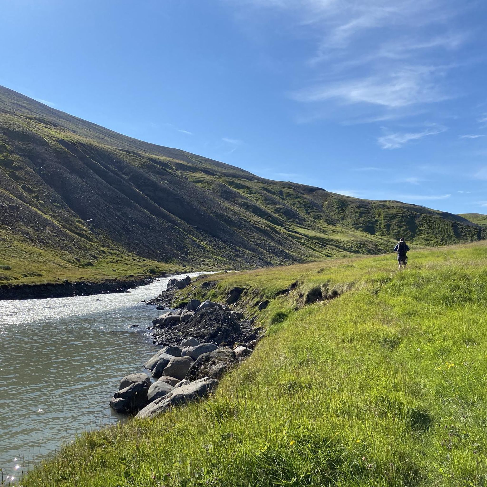
Hiking in Glerárdalur, an uninhabited valley southwest of Akureyri, Iceland, offers diverse landscapes shaped by glaciers. The region is characterized by majestic mountains, including Mt. Kerling (1,538 m), and features the Glerá river which carves an impressive canyon with waterfalls. The valley's terrain includes basalt lava layers, varied volcanic rock, and areas of moss and sedge fens, providing a rich geological backdrop for outdoor activities.
Best hiking trails in Glerárdalur
- The most popular hiking route is Waterfall in Glerárdalur –…
Last updated: July 1, 2026
4.9
(18)
159
hikers
Hard hike. Very good fitness required. Easily-accessible paths. Suitable for all skill levels.
4.8
(12)
22
hikers
Moderate hike. Good fitness required. Easily-accessible paths. Suitable for all skill levels.

Sign up for free
4.7
(3)
19
hikers
6.71km
01:55
150m
150m
Easy hike. Great for any fitness level. Easily-accessible paths. Suitable for all skill levels.
2.0
(1)
18
hikers
2.52km
00:50
130m
130m
Easy hike. Great for any fitness level. Easily-accessible paths. Suitable for all skill levels.
8
hikers
4.58km
01:22
140m
140m
Easy hike. Great for any fitness level. Easily-accessible paths. Suitable for all skill levels.
Get access to more routes and recommendations from other explorers.
Sign up for free
Already have an account?
Our route recommendations are based on thousands of hikes, rides, and runs completed by other people on komoot.
Start today with a free account
Your next adventure awaits.
Login or Signup
Popular around Glerárdalur
Tips from the Community

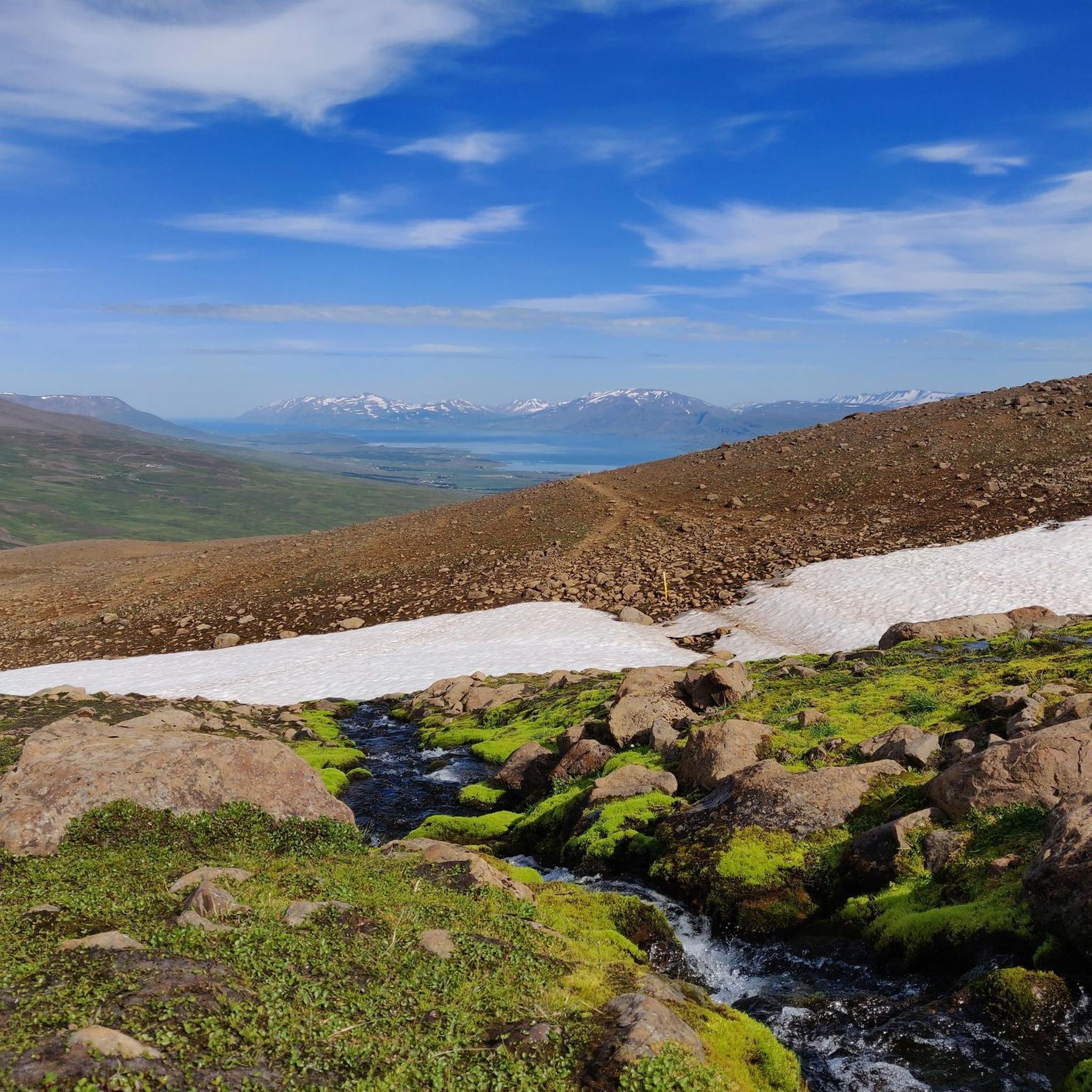
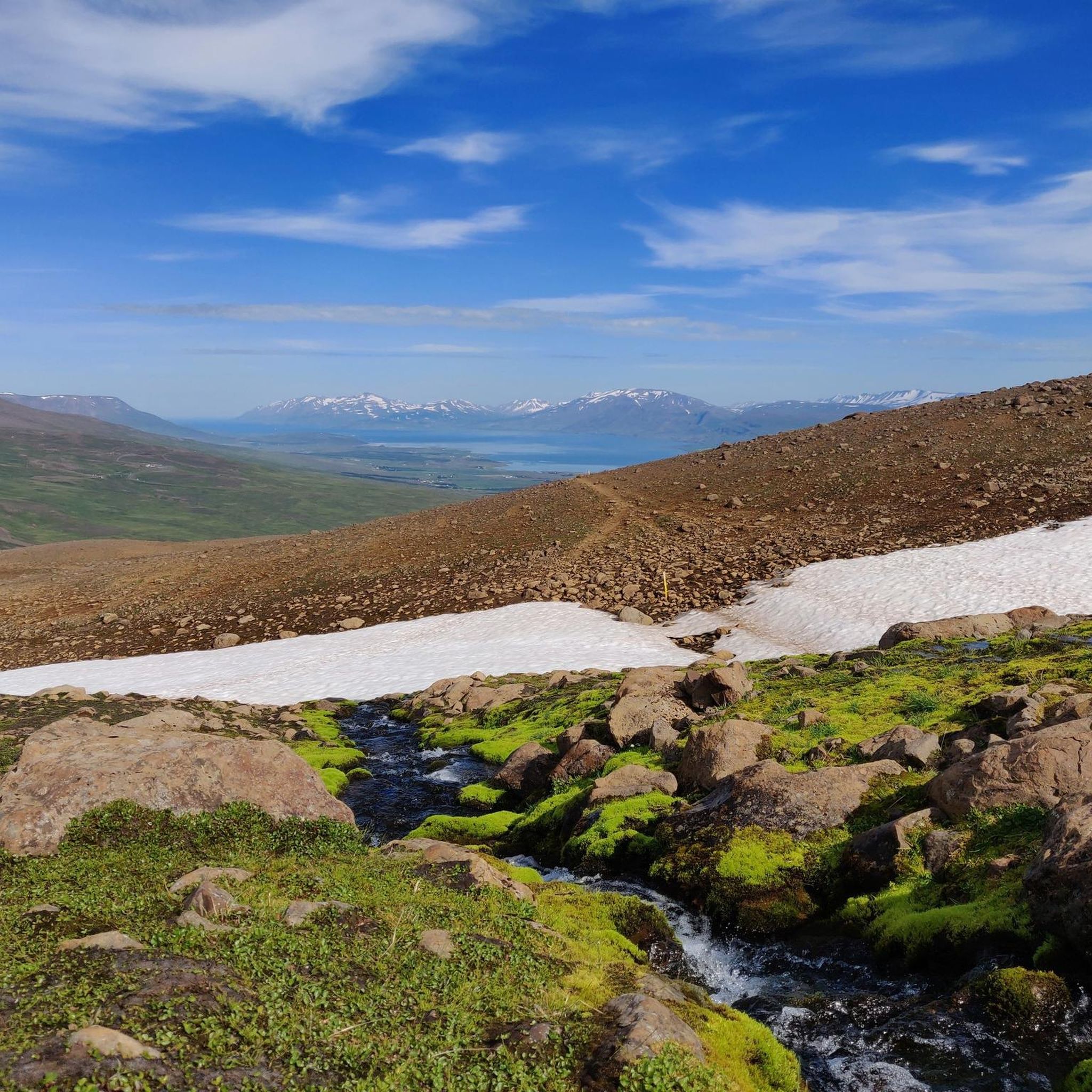
Wear good shoes. I was here in May 16th. And there is still a lot of snow and the snow that has melted is very muddy. A fantastic view
1
0
Crossing the waterfall can be quite tricky. So be careful, it is quite slippery because of the mud there
1
0


wonderful view over Akureyri and the bay
2
0

Gamli shelter with beds and and outside toilet. Unmanned but open.
0
0

A nice place for the lunch, with a view over Akureyri. Plenty hiking and biking trails from there!
0
0

Here is a small but beautiful waterfall
2
1
Frequently Asked Questions
What types of hiking trails are available in Glerárdalur?
Glerárdalur offers a wide variety of hiking trails, catering to different skill levels. You can find everything from gentle elevation hikes suitable for all ages to more challenging routes with significant elevation gains that require good fitness and sure-footedness. The valley's diverse landscape, shaped by glaciers, provides a rich geological backdrop for all outdoor activities.
Are there easy or beginner-friendly hikes in Glerárdalur?
Yes, Glerárdalur has several easy trails. For example, the Trail to Sulur – Glerá Dam loop from Æfingasvæði Skotfélags Akureyrar is an easy 4.2-mile (6.7 km) route. Another accessible option is the Hiking loop from KKA, which is about 2.5 miles (4 km) long.
Can I find challenging routes for experienced hikers in Glerárdalur?
Absolutely. Glerárdalur is encircled by some of Northern Iceland's highest mountains, offering routes with significant elevation gains. The Waterfall in Glerárdalur – View of Akureyri from Súlur loop from Æfingasvæði Skotfélags Akureyrar is a difficult 7.8-mile (12.6 km) trail with over 900 meters of elevation gain, providing panoramic views and a waterfall.
Are there any waterfalls to see while hiking in Glerárdalur?
Yes, the Glerá river, which flows through the valley, carves an impressive canyon and features waterfalls along its course. The Waterfall in Glerárdalur – View of Akureyri from Súlur loop from Æfingasvæði Skotfélags Akureyrar specifically highlights a waterfall on its route.
What unique geological features can I observe in Glerárdalur?
Glerárdalur boasts significant geological diversity. The bedrock is primarily 10-million-year-old basalt lava layers, shaped by glaciers. Due to its proximity to an ancient central volcano, you can find a rich variety of rock types, including acidic and basic volcanic rock, plutonic rock, and numerous dykes. Hikers may also discover fossilized plant remains, lignite, and silicified wood.
Is there a mountain hut or shelter available for hikers in Glerárdalur?
Yes, the Lambi mountain hut is situated at the bottom of the valley, around 720 meters above sea level. It can accommodate up to 16 people and serves as a resting place and starting point for longer excursions into the mountains.
What are the best viewpoints in Glerárdalur?
Many trails offer stunning views. The Waterfall in Glerárdalur – View of Akureyri from Súlur loop from Æfingasvæði Skotfélags Akureyrar provides panoramic views of Akureyri from Súlur. Another excellent option is the Gamli Shelter – View of Akureyri and the Bay loop from Æfingasvæði Skotfélags Akureyrar, which offers expansive views of Akureyri and the surrounding bay.
Is parking available at the Glerárdalur trailheads?
Yes, Glerárdalur is easily accessible from Akureyri, and some trails start from parking lots that are also used for hikes to Mt. Súlur. This makes it convenient for visitors arriving by car.
How accessible is Glerárdalur from Akureyri?
Glerárdalur is very accessible from Akureyri. Many trails begin close to the city, and the valley itself is a short distance southwest of Akureyri, making it a convenient destination for a day trip or longer adventure.
Are there any circular hiking routes in Glerárdalur?
Yes, several circular routes are available. Examples include the Waterfall in Glerárdalur – View of Akureyri from Súlur loop from Æfingasvæði Skotfélags Akureyrar and the Trail to Sulur – Glerá Dam loop from Æfingasvæði Skotfélags Akureyri, both offering varied experiences in a loop format.
What is the best time of year to hike in Glerárdalur?
Glerárdalur offers outdoor activities both in summer and winter. The diverse landscapes and glacial formations create a magnificent backdrop year-round. However, for general hiking, the summer months typically provide more accessible conditions, while winter hikes may require specific gear and experience due to snow and ice.
What do other hikers enjoy most about Glerárdalur?
The area is highly rated by the komoot community, with an average score of 4.7 stars from over 200 reviews. Reviewers often praise the majestic mountains, glacier-carved valleys, the impressive Glerá river canyon, and the variety of trails suitable for different ability levels.

Get inspired with the komoot mobile app


