The best road cycling routes in Basses Vallées Du Cotentin Et Baie Des Veys
4.4
(236)
7,454
riders
21
rides
Road cycling routes in Basses Vallées Du Cotentin Et Baie Des Veys traverse a landscape characterized by vast wetlands, marshlands, and a coastal bay. The region, part of the Marais du Cotentin et du Bessin Regional Natural Park, features flat to gently rolling terrain, making it suitable for various cycling abilities. This area includes the Baie des Veys, where rivers meet the sea, creating an estuarine environment with mudflats and salt marshes. The traditional bocage landscape with its hedgerows also adds to the scenic beauty.
Best road cycling routes in Basses Vallées Du Cotentin Et Baie Des Veys
- The most popular road cycling route is Haut Dick Lock – Bailey bridge near Carentan loop from Carentan, a 9.0 miles (14.5 km) trail that takes 41 minutes to complete. This easy route offers views of the marshlands around Carentan.
- Another top favourite among local road cyclists is Port on the Sinope – Crisbecq Batteries loop from Quinéville, a moderate 34.0 miles (54.8 km) path. This route explores coastal areas and historical sites like the Crisbecq Batteries.
- Local road cyclists also love the Isigny-sur-Mer – Pointe du Hoc loop from Aire de Carentan - Blactot, a 46.1 miles (74.2 km) trail leading through coastal landscapes and marshlands, often completed in about 3 hours 15 minutes.
- Road cycling in Basses Vallées Du Cotentin Et Baie Des Veys is defined by vast wetlands, marshlands, and a coastal bay. The network offers options for different ability levels, from easy loops to moderate distances.
- The routes in Basses Vallées Du Cotentin Et Baie Des Veys are highly rated by the komoot community with an average score of 4.4 stars from over 200 reviews. More than 7000 road cyclists have used komoot to explore Basses Vallées Du Cotentin Et Baie Des Veys's varied terrain.
Last updated: August 28, 2026
15
riders
50.1km
02:03
240m
240m
Moderate road ride. Good fitness required. Some segments of this route may be unpaved and difficult to ride.
13
riders
69.0km
03:52
180m
180m
Moderate road ride. Good fitness required. Some segments of this route may be unpaved and difficult to ride.

Sign up for free
10
riders
86.9km
03:39
390m
390m
Moderate road ride. Good fitness required. Some segments of this route may be unpaved and difficult to ride.
8
riders
58.2km
02:28
320m
320m
Moderate road ride. Good fitness required. Mostly well-paved surfaces and easy to ride.
8
riders
Moderate road ride. Great for any fitness level. Some segments of this route may be unpaved and difficult to ride.
Get access to more routes and recommendations from other explorers.
Sign up for free
Already have an account?
Our route recommendations are based on thousands of hikes, rides, and runs completed by other people on komoot.
Start today with a free account
Your next adventure awaits.
Login or Signup
Popular around Basses Vallées Du Cotentin Et Baie Des Veys
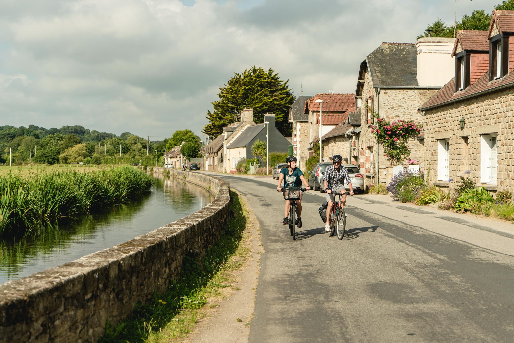
Tour du Cotentin en suivant la Vélomaritime®
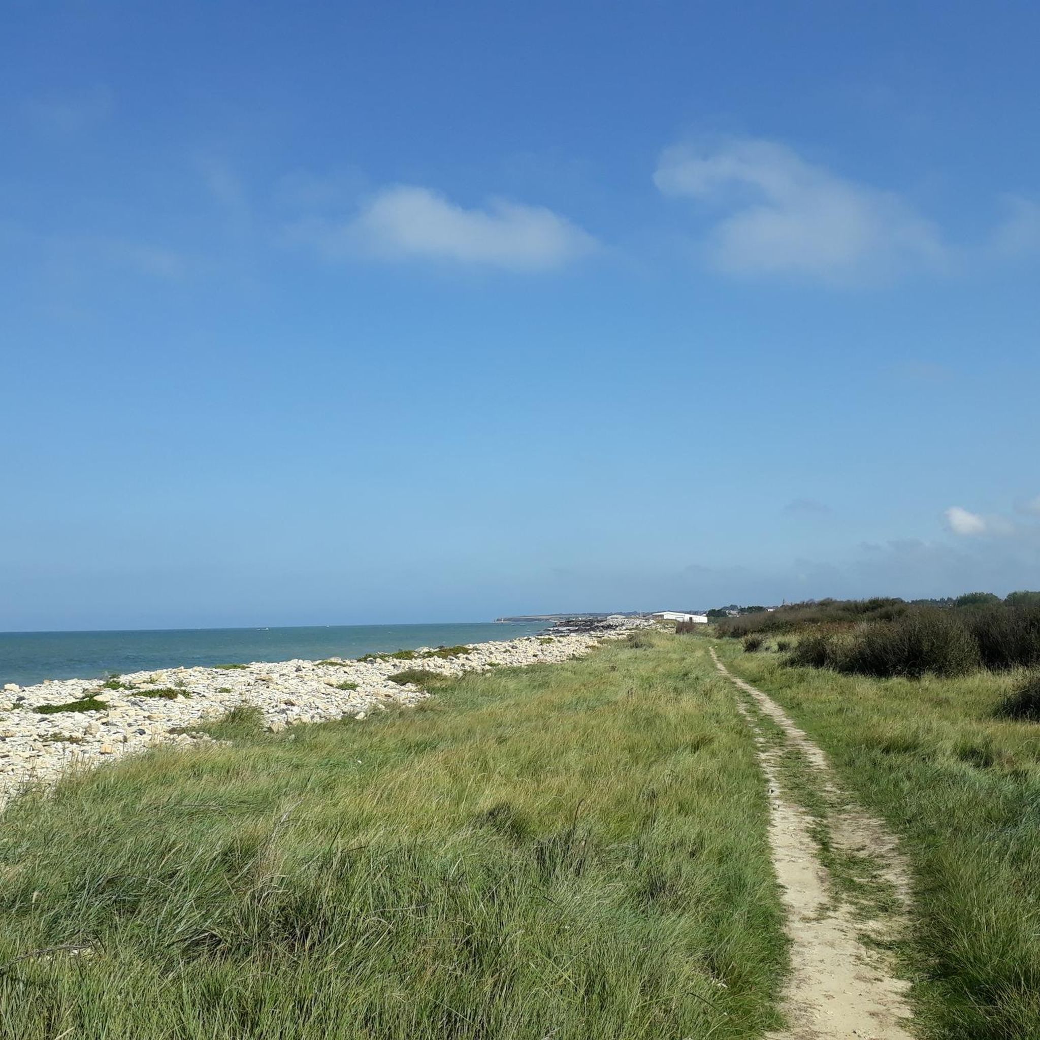
Hiking in Basses Vallées Du Cotentin Et Baie Des Veys
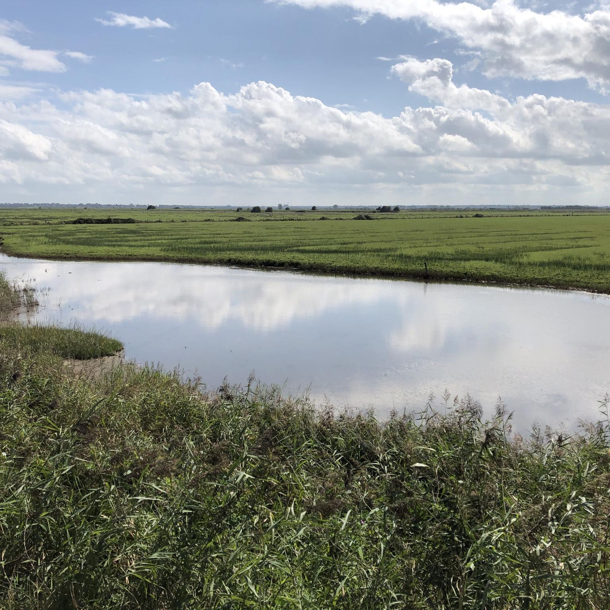
Cycling in Basses Vallées Du Cotentin Et Baie Des Veys
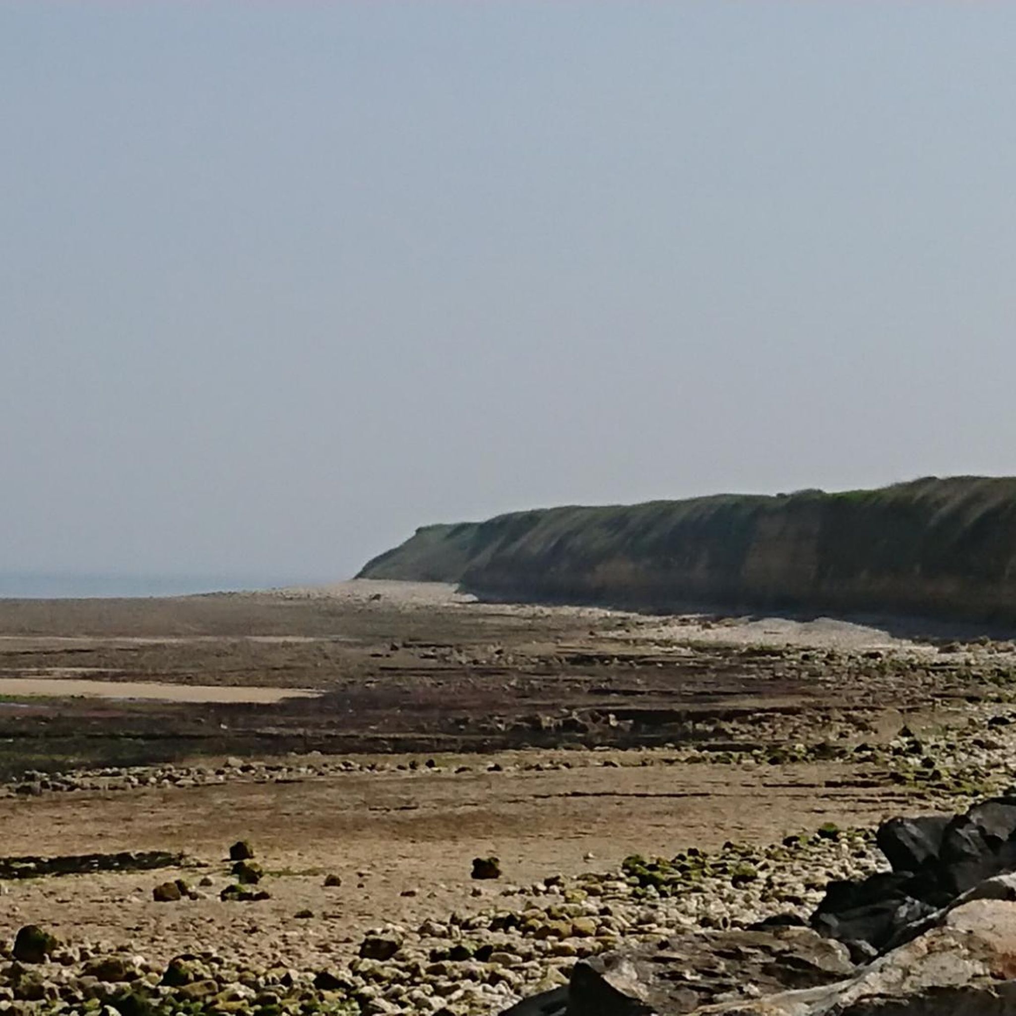
MTB Trails in Basses Vallées Du Cotentin Et Baie Des Veys
Running Trails in Basses Vallées Du Cotentin Et Baie Des Veys
Gravel biking in Basses Vallées Du Cotentin Et Baie Des Veys
Other adventures in Basses Vallées Du Cotentin Et Baie Des Veys

Tips from the Community

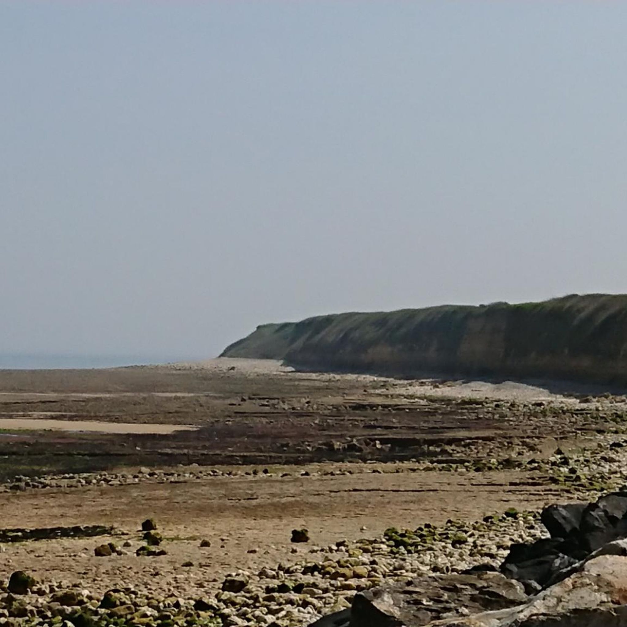
Beautiful beach section near Quinéville
0
0
A French hiker explained to me today at this spot that the structure was built on the initiative of Napoleon Bonaparte to control the drainage of the swamps.
0
0

Utah Beach is the code name given by the Allies to one of the five beaches of the Normandy landings on June 6, 1944 (D-Day) during World War II. It represented the westernmost attack sector of the entire Operation Overlord and was located on the Cotentin Peninsula, between the towns of Pouppeville and Saint-Martin-de-Varreville. Today, the site presents itself as a quiet sandy beach at the gates of Sainte-Marie-du-Mont, rich in historical monuments and memory trails.
0
0

Utah Beach was the first of the five D-Day landing beaches to be recaptured by the Allies. It was chosen to retake Cherbourg and its deep-water port. Several memorials along the beach allow visitors to rediscover the history of the landings.
1
0

To be admired as a technical structure 😪However, it should also serve as a reminder and a warning. NEVER AGAIN WAR
6
0
A beautiful, expansive beach steeped in history.
3
1
Memorials that remind you again and again "NEVER AGAIN WAR" that is something the warmongers from 🇩🇪 and the 🇪🇺 should especially make their motto.
3
0
A place steeped in history, one of the five landing zones.
2
0
Frequently Asked Questions
How many road cycling routes are available in Basses Vallées Du Cotentin Et Baie Des Veys?
There are over 20 road cycling routes in Basses Vallées Du Cotentin Et Baie Des Veys, offering a variety of distances and difficulty levels. The komoot community has explored these routes over 3000 times.
What is the typical terrain like for road cycling in this region?
The region is characterized by flat to gently rolling terrain, especially within the vast wetlands and marshlands of the Marais du Cotentin et du Bessin Regional Natural Park. This makes it suitable for various cycling abilities, offering peaceful rides through natural settings.
Are there road cycling routes suitable for beginners or families?
Yes, the flat to gently rolling terrain makes many routes suitable for beginners and families. For example, the Haut Dick Lock – Bailey bridge near Carentan loop from Carentan is an easy 14.5 km route offering views of the marshlands around Carentan.
What kind of natural features can I expect to see while cycling?
You'll encounter diverse natural features, including vast wetlands, marshlands, and the coastal Bay of Veys. The estuarine environment where rivers meet the sea creates extensive mudflats, salt marshes, and dunes. In winter, meadows often flood, transforming into a large lake. The region is also known for its rich biodiversity, including migratory birds and harbor seals.
Are there any historical landmarks along the road cycling routes?
Yes, the region has historical significance, particularly related to the Normandy landings. You can find sites like the 2nd Armored Division Monument and the Quinéville Museum and Memorial. The Port on the Sinope – Crisbecq Batteries loop from Quinéville specifically explores coastal areas and historical sites like the Crisbecq Batteries.
What is the best time of year for road cycling in Basses Vallées Du Cotentin Et Baie Des Veys?
The region is generally pleasant for road cycling from spring through autumn. While winter offers unique views of flooded marshlands, some areas might be less accessible or colder. Spring and summer provide ideal conditions for enjoying the natural beauty and wildlife.
Are there circular road cycling routes available?
Yes, many of the routes in the region are designed as loops, allowing you to start and end in the same location. An example is the Carentan – The Stone loop from Communauté de communes de la Baie du Cotentin, a moderate 35.7 km route.
Can I access these road cycling routes using public transport?
While specific public transport options for bikes can vary, Carentan-les-Marais is a central hub in the region. It's advisable to check local train or bus services for their bike carriage policies if you plan to use public transport to reach the starting points of routes.
Where can I find parking for road cycling routes in Basses Vallées Du Cotentin Et Baie Des Veys?
Many routes start from towns or villages like Carentan-les-Marais or Quinéville, where public parking is generally available. For routes starting from specific attractions or natural sites, dedicated parking areas are often provided. Always check the route details for recommended starting points and parking information.
Are there places to stop for refreshments or amenities along the routes?
Yes, routes often pass through or near towns and villages where you can find cafes, restaurants, and other amenities. Carentan-les-Marais, for instance, offers various options for refreshments. Coastal routes may also have facilities in smaller seaside communities.
What do other cyclists say about road cycling in Basses Vallées Du Cotentin Et Baie Des Veys?
The area is highly rated by the komoot community, with an average score of 4.5 stars from over 100 reviews. Cyclists often praise the peaceful rides, the unique marshland scenery, and the well-maintained paths that make for an enjoyable experience.
How long are the road cycling routes typically in the Bay of Veys area?
Route lengths vary, from shorter, easy loops around 14-15 km, such as the Haut Dick Lock – Bailey bridge near Carentan loop, to moderate distances of 45-75 km, like the Aumeville Castle – Port on the Sinope loop from Les Bergeries de la Lande (45.7 km) or the Isigny-sur-Mer – Pointe du Hoc loop from Aire de Carentan - Blactot (74.2 km).
Are there any specific routes that offer coastal views?
Yes, several routes provide stunning coastal views, particularly those around the Bay of Veys. The Port on the Sinope – Crisbecq Batteries loop from Quinéville explores coastal areas, and the Isigny-sur-Mer – Pointe du Hoc loop also leads through coastal landscapes.
Most popular routes in Basses Vallées Du Cotentin Et Baie Des Veys
Most popular attractions in Basses Vallées Du Cotentin Et Baie Des Veys

Get inspired with the komoot mobile app


Explore more
Browse the best Road cycling routes in other regions.
