The best road cycling routes in Réserve Naturelle Régionale Du Marais De Sougeal
4.7
(18)
692
riders
72
rides
Road cycling routes in Réserve Naturelle Régionale Du Marais De Sougeal traverse a landscape primarily characterized by extensive marshlands and river valleys. The terrain is generally flat, offering long stretches suitable for road bikes, with gentle undulations along riverbanks. This region, situated near the coast, provides views of the surrounding natural environment, including the Sélune and Couesnon rivers.
Best road cycling routes in Réserve Naturelle Régionale Du Marais De Sougeal
- The most popular road cycling route is Roadbike loop from…
Last updated: August 28, 2026
11
riders
29.7km
01:17
120m
120m
Moderate road ride. Great for any fitness level. Some segments of this route may be unpaved and difficult to ride.
23
riders
Easy road ride. Great for any fitness level. Mostly well-paved surfaces and easy to ride.

Sign up for free
4.8
(4)
195
riders
Moderate road ride. Good fitness required. Mostly well-paved surfaces and easy to ride.
5.0
(1)
26
riders
114km
04:49
730m
730m
Moderate road ride. Good fitness required. Some segments of this route may be unpaved and difficult to ride.
19
riders
Moderate road ride. Good fitness required. Some segments of this route may be unpaved and difficult to ride.
Get access to more routes and recommendations from other explorers.
Sign up for free
Already have an account?
Our route recommendations are based on thousands of hikes, rides, and runs completed by other people on komoot.
Start today with a free account
Your next adventure awaits.
Login or Signup
Popular around Réserve Naturelle Régionale Du Marais De Sougeal
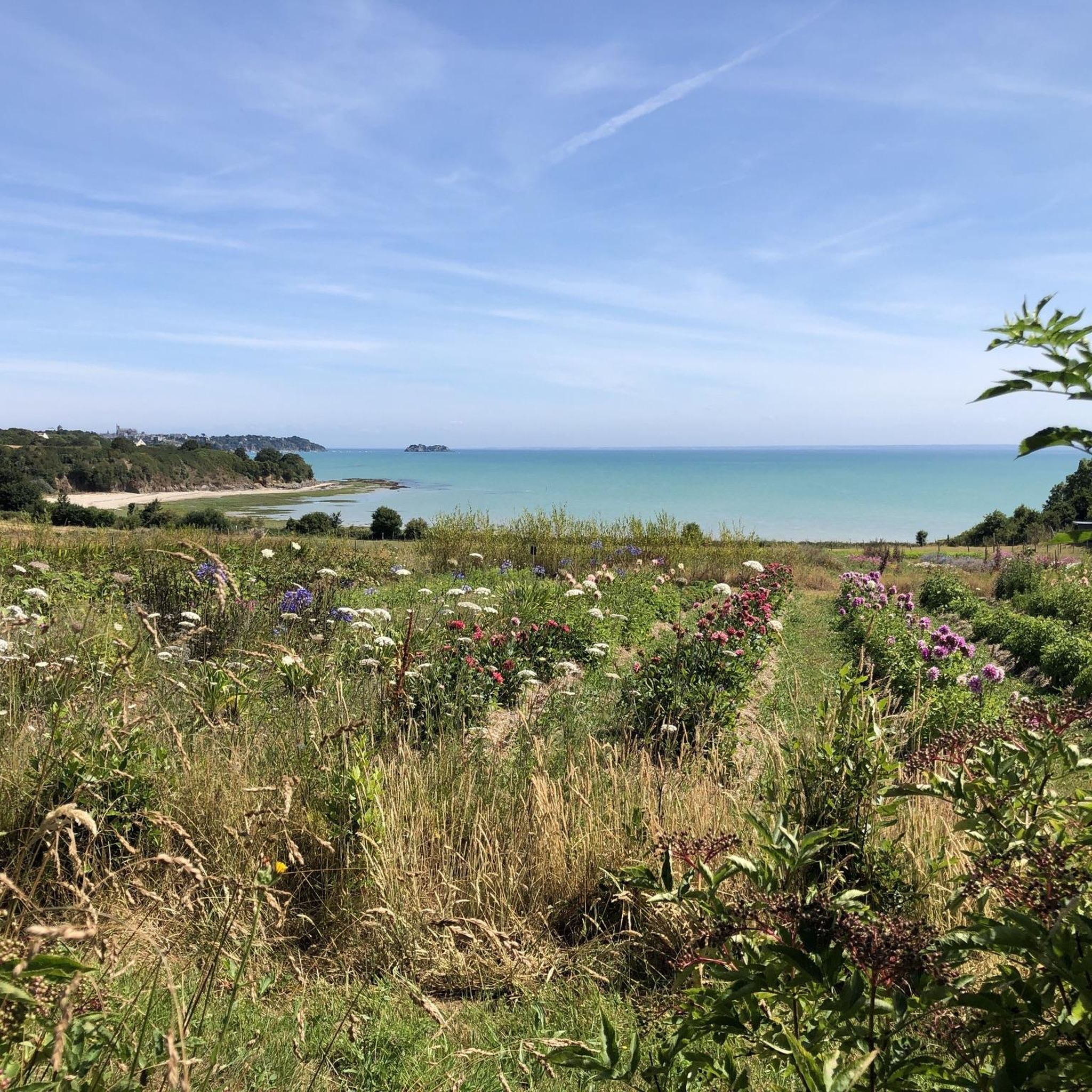
Cycling in Réserve Naturelle Régionale Du Marais De Sougeal
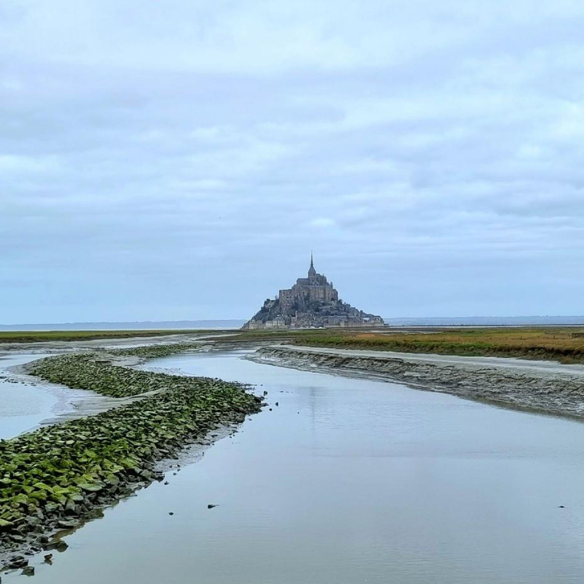
Running Trails in Réserve Naturelle Régionale Du Marais De Sougeal
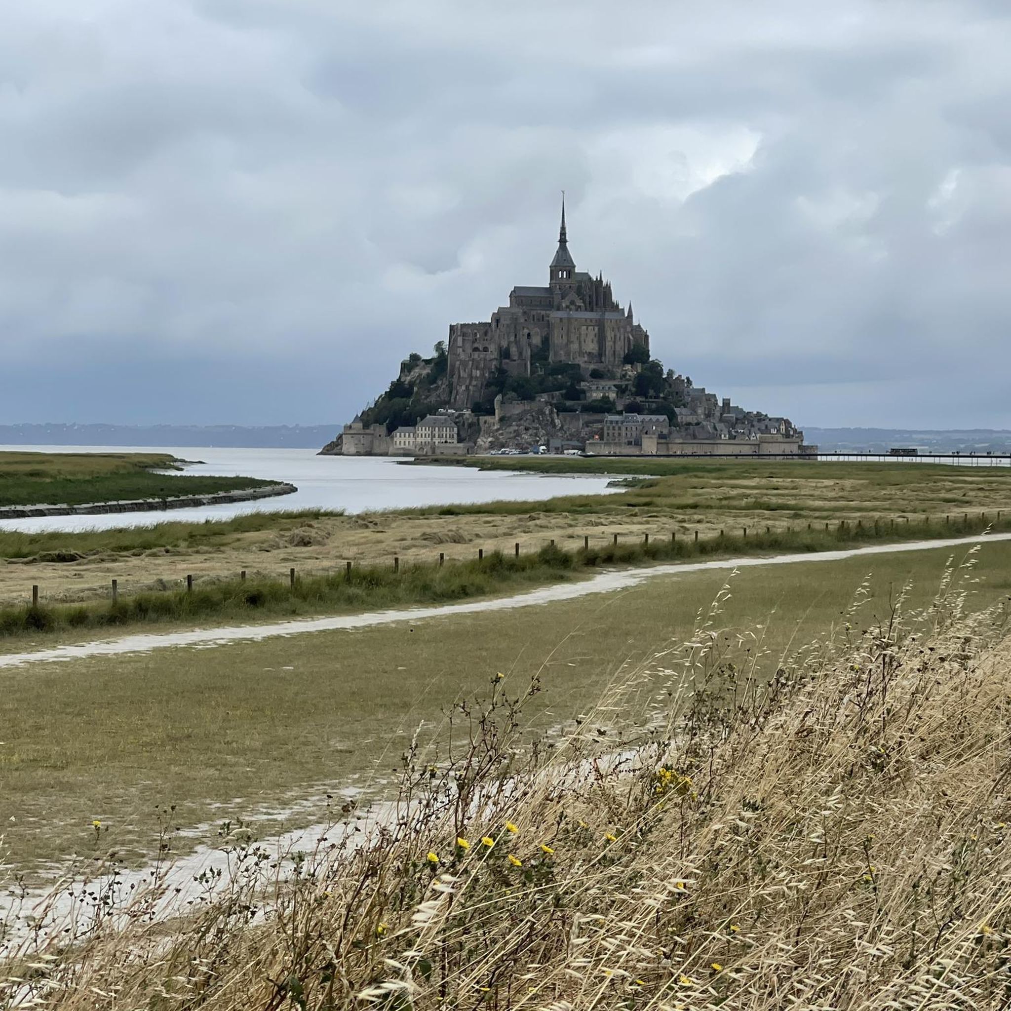
Hiking in Réserve Naturelle Régionale Du Marais De Sougeal
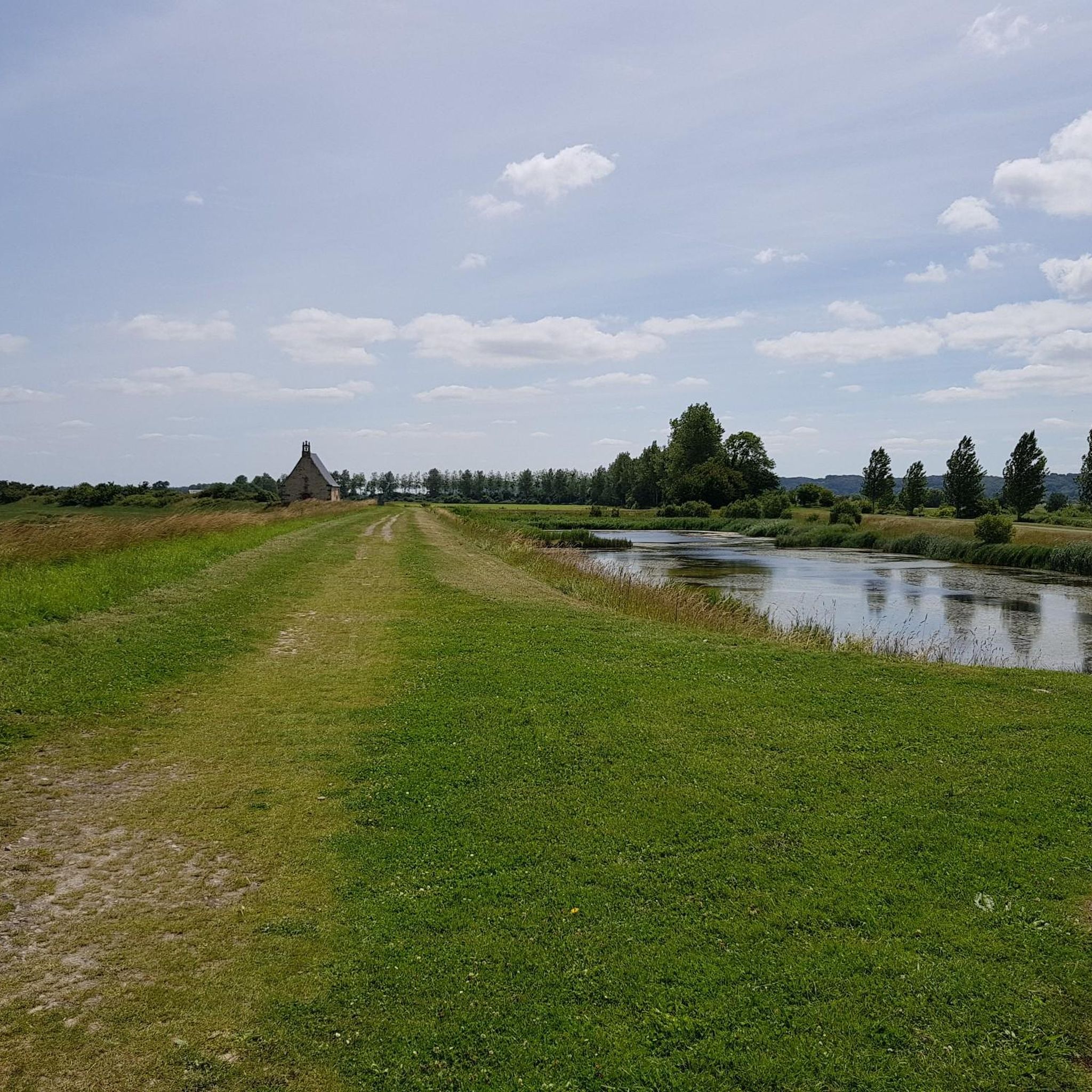
MTB Trails in Réserve Naturelle Régionale Du Marais De Sougeal

Gravel biking in Réserve Naturelle Régionale Du Marais De Sougeal
Tips from the Community

The narrow streets of Intra-Muros, the old town of Saint-Malo, are lined with bistros, crêperies, international restaurants, boutiques, and souvenir shops. The Saint-Vincent Cathedral has artistic stained-glass windows. In contrast, the walkable ramparts offer sea views and access to Plage du Môle and Plage de Bon Secours beaches. At low tide, visitors can walk to the 1689 Fort National, located on a rock in the sea, as well as to the islands of Grand Bé and Petit Bé.
1
0
Mont-Saint-Michel is a world-famous rocky island and commune on the border between Normandy and Brittany in France. Crowned by a monumental, medieval Benedictine abbey, this architectural marvel has been a UNESCO World Heritage site since 1979. The bay of the mount is also known for Europe's strongest tides, with a tidal range of up to 14 meters.
1
0

The footpath along the Couesnon to the dam already offers an impressive view of Mont-Saint-Michel. From here, the path with an unobstructed view leads across the salt marshes and the bay, with the landmark of Normandy impressively rising against the wide landscape. Especially in calm weather and with changing light, atmospheric views emerge of Mont-Saint-Michel, the course of the Couesnon river, and the tide-shaped surroundings.
11
0
The Couesnon dam (Barrage du Couesnon) was completed in 2009 and is part of the measures to preserve the bay of Mont-Saint-Michel. The facility regulates the water flow of the Couesnon and supports the natural removal of sediments by the tides. This is intended to counteract the increasing silting up of the bay and preserve the special character of Mont-Saint-Michel as a tidal island. The dam also offers a popular viewpoint with a view of Mont-Saint-Michel and the surrounding salt marshes.
1
0

From there it looks the strongest !!!
1
0

Lovely route, first along the coast on good cycle paths, then after the large car park via all sorts of narrow roads and villages back to the campsite in Ceaux.
0
0

Parts of the route along the sea do not exist or are forbidden for bicycles
0
0

Old priory attached to Mont Saint Michel, the ultimate stage for pilgrims before the Merveille.
0
0
Frequently Asked Questions
How many road cycling routes are available in Réserve Naturelle Régionale Du Marais De Sougeal?
There are over 70 road cycling routes in Réserve Naturelle Régionale Du Marais De Sougeal, offering a wide range of options for different skill levels and preferences. These routes are highly rated by the komoot community, with an average score of 4.7 stars.
Are there road cycling routes suitable for beginners in the Marais de Sougeal?
Yes, the region offers several routes ideal for beginners. With 17 easy routes available, you can enjoy the generally flat terrain of the marshlands. An example is The Couesnon at Beauvoir loop from Pontorson-Mont-Saint-Michel, which is an easy 14.4 km ride.
What options are available for experienced road cyclists looking for a challenge?
While the terrain is generally flat, experienced cyclists can find longer, more demanding routes. There are 4 difficult routes and 50 moderate routes that cover significant distances, such as the Mont-Dol – Saint-Suliac loop from Pontorson-Mont-Saint-Michel, which is 114.6 km long and features varied rural landscapes.
When is the best time of year for road cycling in Réserve Naturelle Régionale Du Marais De Sougeal?
The best time for road cycling in the Marais de Sougeal is typically from spring through early autumn (April to October). During these months, the weather is generally milder and drier, making for more pleasant riding conditions. The marshlands are particularly vibrant in spring and summer.
Are there any loop road cycling routes in the Marais de Sougeal?
Yes, many of the road cycling routes in the Marais de Sougeal are designed as loops, allowing you to start and finish at the same point. A popular example is the Roadbike loop from Sougeal, a 28.6 km route that directly explores the local marshland scenery.
Where can I find parking or access points for road cycling routes?
Many routes start from towns like Sougeal or Pontorson-Mont-Saint-Michel, where public parking is generally available. These towns serve as convenient access points to the network of roads traversing the marshlands and river valleys.
What kind of views can I expect along the road cycling routes?
Road cycling routes in this region offer extensive views of marshlands, riverbanks, and open rural plains. You can expect to see the Sélune and Couesnon rivers, and some routes, like the Sélune Riverbank – View of Mont Saint-Michel loop from Pontorson-Mont-Saint-Michel, even provide distant views of Mont Saint-Michel.
Can I spot wildlife while road cycling in the Marais de Sougeal?
The Réserve Naturelle Régionale Du Marais De Sougeal is a protected marshland area, making it an excellent spot for wildlife observation, particularly birds. While cycling, you may encounter various bird species, especially in quieter sections along the riverbanks and through the open plains.
Are there any cafes or places to stop for refreshments along the routes?
While specific cafes are not always directly on the routes, many routes pass through or near small villages and towns like Sougeal or Pontorson-Mont-Saint-Michel, where you can find local establishments for refreshments and breaks. It's advisable to carry water and snacks, especially on longer rides.
What is the typical elevation gain on road cycling routes in this region?
The terrain in Réserve Naturelle Régionale Du Marais De Sougeal is generally flat, characterized by marshlands and river valleys. Most routes feature gentle undulations, with elevation gains typically ranging from minimal for shorter, easy routes to around 500-700 meters for longer, more challenging loops, such as The dam on the Couesnon – View of Mont Saint-Michel loop from Pontorson-Mont-Saint-Michel.
What do other road cyclists enjoy the most about road cycling in Réserve Naturelle Régionale Du Marais De Sougeal?
The area is highly rated by the komoot community, with an average score of 4.7 stars from over 25 reviews. Reviewers often praise the quiet roads, the unique marshland scenery, and the extensive riverbank riding that offers a peaceful and immersive experience in nature.
Most popular routes in Réserve Naturelle Régionale Du Marais De Sougeal

Get inspired with the komoot mobile app


Explore more
Browse the best Road cycling routes in other regions.
