The best road cycling routes in Ukerdiko Erreserba Integrala/Reserva Integral De Ukerdi
4.8
(17)
781
riders
15
rides
Road cycling routes in Ukerdiko Erreserba Integrala/Reserva Integral De Ukerdi traverse a challenging landscape within the Navarrese Pyrenees, characterized by extensive bluish-gray limestone rock formations and black pine forests. This subalpine region, part of the larger Larra Natural Reserve, features significant elevation changes and mountain passes. While the Integral Reserve itself has restricted access, the surrounding Roncal and Belagua Valleys offer numerous road cycling opportunities. Cyclists can expect a mix of paved and some unpaved sections, providing varied terrain for…
Last updated: August 27, 2026
8
riders
Moderate road ride. Good fitness required. Mostly well-paved surfaces and easy to ride.
4.7
(9)
234
riders
60.2km
03:21
1,300m
1,300m
Hard road ride. Very good fitness required. Mostly well-paved surfaces and easy to ride.

Sign up for free
5.0
(3)
190
riders
46.3km
02:58
1,370m
1,370m
Hard road ride. Very good fitness required. Mostly well-paved surfaces and easy to ride.
12
riders
Moderate road ride. Good fitness required. Mostly well-paved surfaces and easy to ride.
8
riders
9.90km
00:39
270m
270m
Easy road ride. Great for any fitness level. Mostly well-paved surfaces and easy to ride.
Get access to more routes and recommendations from other explorers.
Sign up for free
Already have an account?
Our route recommendations are based on thousands of hikes, rides, and runs completed by other people on komoot.
Start today with a free account
Your next adventure awaits.
Login or Signup
Popular around Ukerdiko Erreserba Integrala/Reserva Integral De Ukerdi
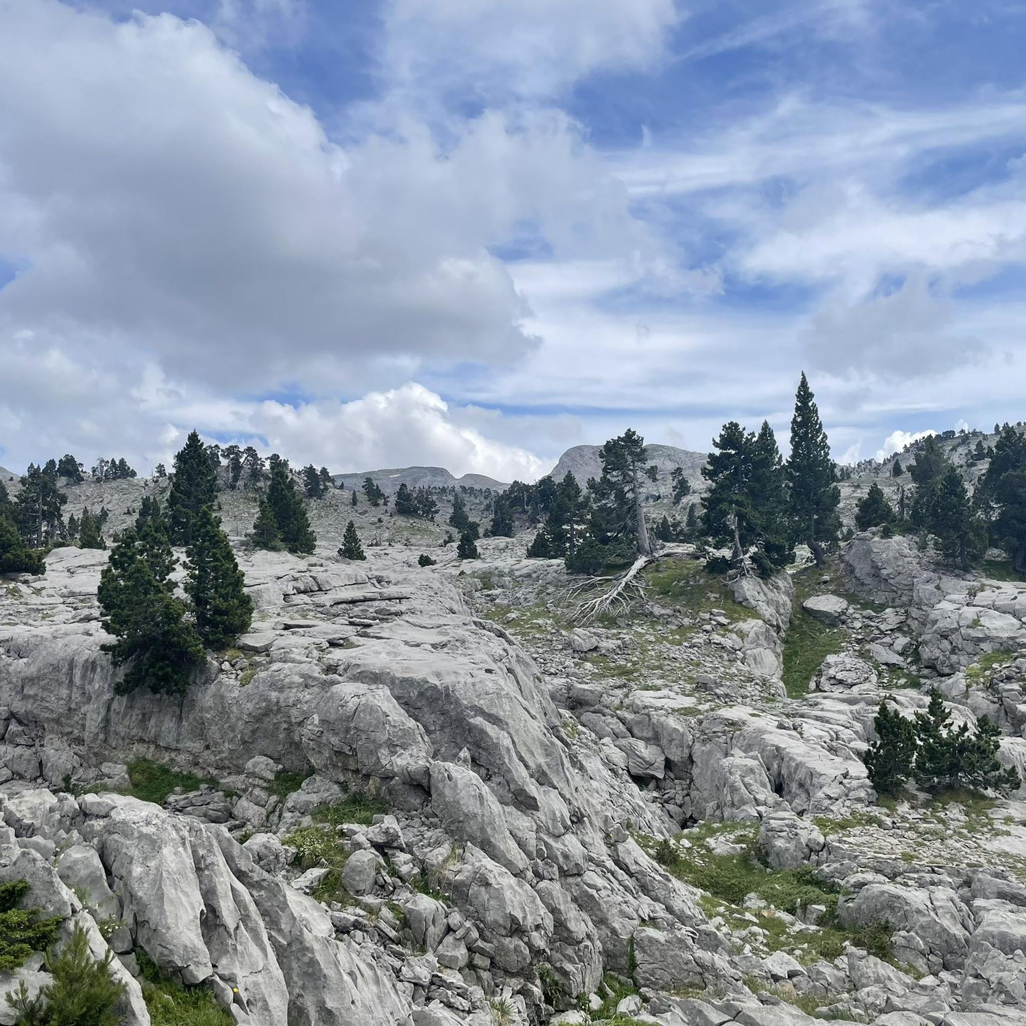
Hiking in Ukerdiko Erreserba Integrala/Reserva Integral De Ukerdi
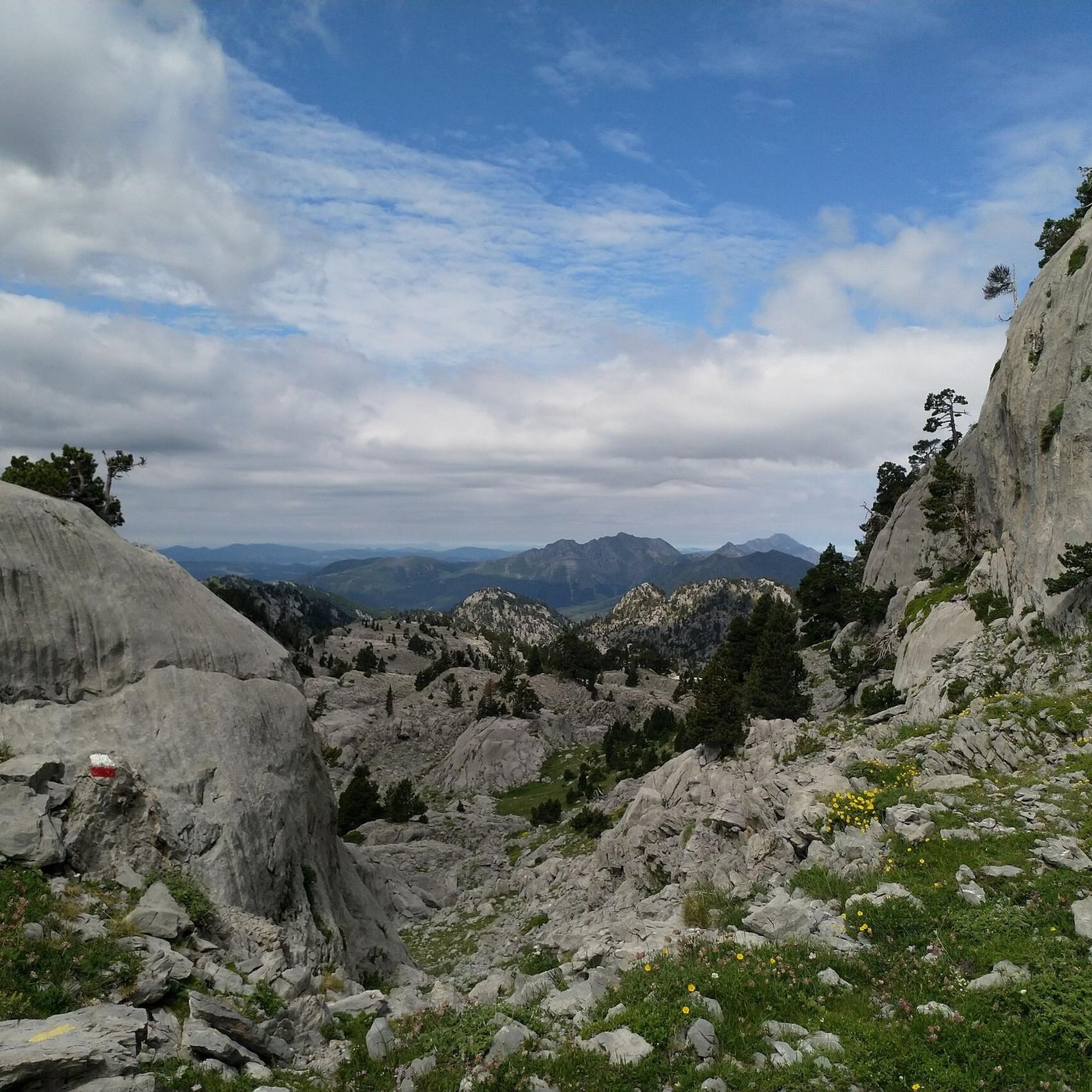
Running Trails in Ukerdiko Erreserba Integrala/Reserva Integral De Ukerdi
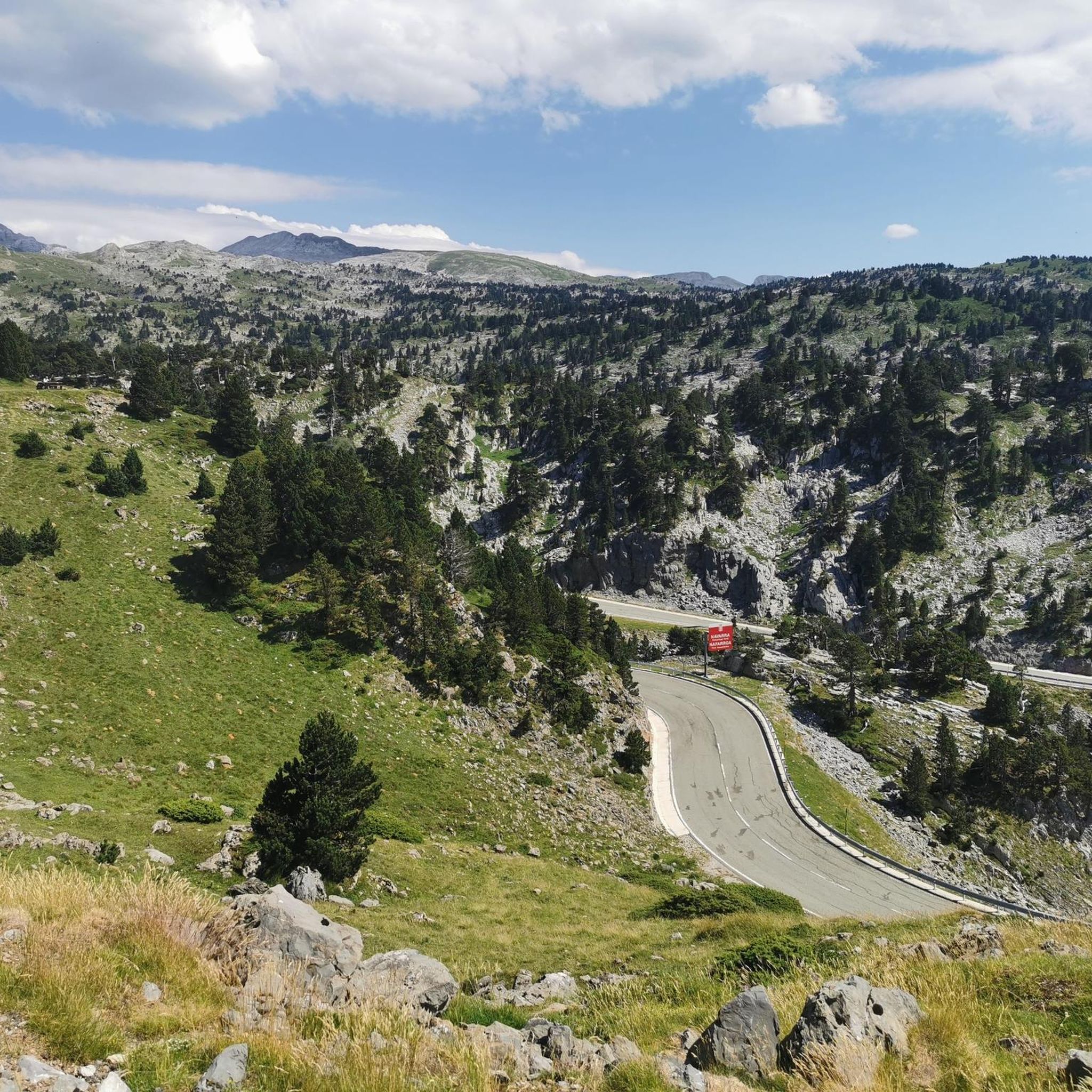
Cycling in Ukerdiko Erreserba Integrala/Reserva Integral De Ukerdi

Mountain Hikes in Ukerdiko Erreserba Integrala/Reserva Integral De Ukerdi
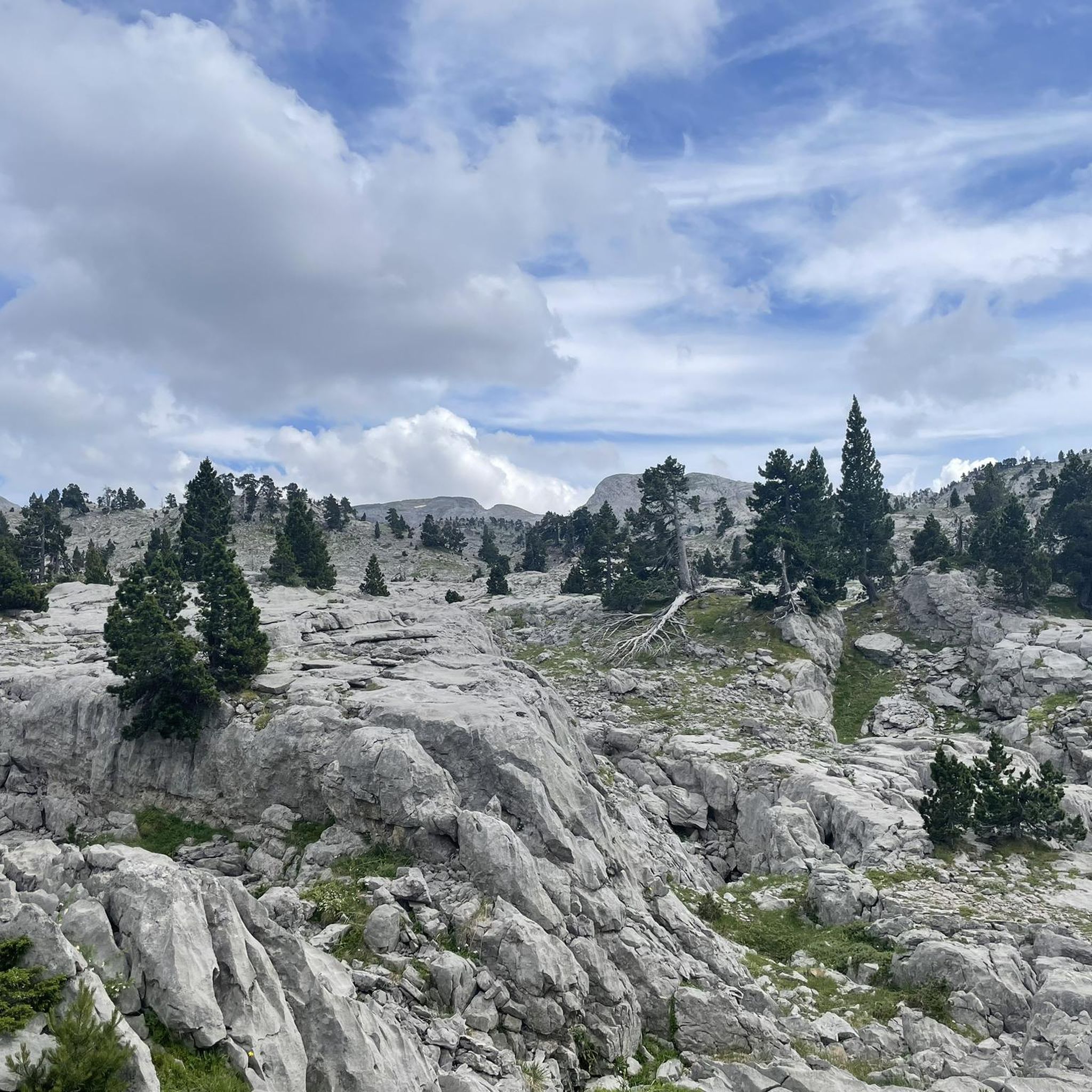
MTB Trails in Ukerdiko Erreserba Integrala/Reserva Integral De Ukerdi
Tips from the Community


Up at 1,428 meters in the Belagua Refuge is a fantastic spot to kick back after a long day of hiking. It’s been nicely updated, so you get all the cozy mountain shelter feels with modern perks like comfy beds, hot showers, and seriously good, filling food. It's a hugely popular pitstop on the GR10, GR11, and HRP, whether you're staying overnight or just pulling up a chair for a cold beer and a hot meal with awesome views over the karst rocks, it’s always a welcome sight.
1
0

Larra-Belagua is a protected natural area located in the Roncal valley, 1,026 meters above sea level. It is one of the wildest and most unique landscapes in Navarra. For cyclists, the final 9.4-kilometer climb at 6.1% gradient constitutes a first-category mountain pass that has earned a place in the history of La Vuelta a España since its debut in 2023. The asphalt in perfect condition and the absence of traffic make this ascent a unique experience, demanding a constant rhythm and rewarding the cyclist with privileged views over the Navarrese Pyrenees.
0
0

beautiful climb starting from the valley of Larrau. Count 21km but the bulk of the elevation gain starts in Saint Engrace
0
0

Up to kilometer 12, the climb is gentle. From there, it becomes more difficult, and you'll face some slopes with a 10% gradient. The total climb is 26 kilometers, and the total ascent is 1,048 meters. During the climb, you'll find good road surfaces and beautiful scenery.
0
0

The Belagua refuge is a symbol of mountaineering in Navarre, its location makes it the ideal starting point for any adventure. It is open all year round and has 54 beds. It also offers food service and a bar.
2
1

Without a doubt, the Col de la Piedra de Saint Martin or Pierre Saint-Martin is one of the Top 10 in the whole of the Pyrenees. Without exceeding 2000 metres of altitude, it is a very long pass, with a lot of accumulated gradient (due to the innumerable French slopes, the gradient is 1,450 metres), with very hard slopes and several kilometres above 10%, with wonderful landscapes and panoramic views and with little traffic, except for the slopes crossed by the main road (D132 in France, the NA 137 in Spain). It is a pass with many slopes; in Europe there are few other passes that have as many slopes as this one (col de Turini, Passo delle Erbe, would be comparable in number of slopes approximately). I have only climbed it by 2 slopes: (i) my first time was from Lourdios Ichère, crossing the col de Labays and the col de Soudet. Simply spectacular; (ii) I have subsequently climbed the Spanish side on several occasions, which is unique, and which starts from Belagua and crosses the Belagua cross-country ski resort to reach the mountain pass. It is also very beautiful, with a landscape and views different from the north-east side. If I had to choose one of the two, I liked the north-west side better because it is more remote, harder and in my opinion more authentic. It is also a culturally special mountain pass because the Tribute of the 3 cows takes place on its summit every 13th of July, which is considered the oldest treaty in force in Europe. So... you know... you cannot miss the opportunity to come here and enjoy this wonderful jewel of the Pyrenees!!!!
1
0

Isaba, also known as Izaba in Basque, is a picturesque village located in the Roncal Valley in the Navarrese Pyrenees, northern Spain. This charming village is known for its rich history dating back to the Middle Ages, when it was a strategic outpost for the Kingdom of Navarre. Isaba offers breathtaking scenery with lush green meadows in spring, colorful autumn leaves and snow-capped mountains in winter.
1
0
Frequently Asked Questions
How challenging are the road cycling routes in Ukerdiko Erreserba Integrala/Reserva Integral De Ukerdi?
The road cycling routes in this region are generally challenging, catering to riders with good to very good fitness levels. Out of 16 available routes, 10 are classified as difficult, and 5 as moderate. You'll encounter significant elevation gains, often over 1500 feet, and some routes can take more than 5 hours to complete. The terrain includes notable climbs like the Pierre Saint-Martin Pass and Soudet Pass.
Are there any road cycling routes suitable for beginners in Ukerdiko Erreserba Integrala/Reserva Integral De Ukerdi?
While the region is known for its challenging terrain, there is one route classified as easy. However, most routes require at least a good level of fitness. It's advisable to check the specific route details on komoot for elevation profiles and distances to ensure it matches your skill level.
What kind of landscapes will I experience while road cycling in this area?
You'll cycle through a unique subalpine landscape characterized by vast expanses of bluish-gray limestone rock formations and black pine forests. The area is part of the larger Larra Natural Reserve, known for its extensive karst regions. Expect breathtaking Pyrenean views of both Navarra and France, and potentially glimpses of ancient, undisturbed beech and fir forests in the broader protected zone.
Are there any long-distance road cycling routes in Ukerdiko Erreserba Integrala/Reserva Integral De Ukerdi?
Yes, the region offers several long-distance routes. For example, the Pierre Saint-Martin Pass – Soudet Pass loop from Bitxitoza is a difficult 52.7-mile (84.8 km) path with significant elevation gains. Another option is the Col de la Pierre Saint-Martin – Pierre Saint-Martin Pass loop from La Pierre Saint-Martin, which covers 37.4 miles (60.2 km) through the high Pyrenees.
What do other road cyclists enjoy most about road cycling in Ukerdiko Erreserba Integrala/Reserva Integral De Ukerdi?
The routes in Ukerdiko Erreserba Integrala/Reserva Integral De Ukerdi are highly rated by the komoot community, with an average score of 4.8 stars from over 10 reviews. Cyclists often praise the challenging climbs, the stunning Pyrenean views, and the unique natural environment featuring limestone rock formations and black pine forests.
What is the best time of year for road cycling in Ukerdiko Erreserba Integrala/Reserva Integral De Ukerdi?
Given the subalpine nature and significant mountain passes, the best time for road cycling is typically from late spring through early autumn (roughly May to October). During these months, the weather is generally more stable, and mountain passes are clear of snow. Winter conditions can be harsh, with snow and ice making many routes impassable.
Are there any circular road cycling routes available?
Yes, many of the routes in the area are designed as loops. For instance, the Pierre Saint-Martin Pass – Pierre Saint-Martin Pass loop from GR 12 Euskal Herriko ur-mugaren ibilaldia is a moderate 11.0-mile (17.8 km) circular route. Another option is the challenging Soudet Pass – Plateau de Chousse loop from La Pierre Saint-Martin.
Are permits required for road cycling within Ukerdiko Erreserba Integrala/Reserva Integral De Ukerdi?
Access within the Integral Reserve of Ukerdi itself is highly restricted to preserve its ecological value, and activities like motorized vehicles, mechanical means of transport, and pedestrian traffic off established paths are prohibited. Road cycling primarily occurs on the roads and passes surrounding the immediate Integral Reserve, within the larger natural park area, where permits are generally not required for cycling on public roads.
Can I find places to eat or drink near the road cycling routes?
While the immediate Integral Reserve is a wild and protected area, the surrounding Roncal and Belagua Valleys, where most cycling takes place, have small villages and mountain refuges. You may find cafes or restaurants in these areas, particularly near popular passes or starting points for routes. It's always a good idea to carry sufficient water and snacks, especially on longer routes.
What wildlife might I encounter while cycling in the region?
The forests of Ukerdi and the broader protected area provide habitat for diverse wildlife. While cycling, you might spot chamois or ermine. The region is also home to capercaillie, black woodpeckers, white-backed woodpeckers, and even bears, though sightings of the latter are rare.
Are the road cycling routes entirely paved, or are there unpaved sections?
Many of the listed routes are mostly paved, offering a classic road cycling experience. However, some segments may be unpaved and more difficult to ride, adding to the varied terrain. It's advisable to check individual route descriptions on komoot for specific surface details if you prefer entirely paved roads.
Where can I find parking for road cycling routes in Ukerdiko Erreserba Integrala/Reserva Integral De Ukerdi?
Parking is typically available in the small towns and villages within the surrounding Roncal and Belagua Valleys, which serve as common starting points for many routes. Look for designated parking areas near popular passes or trailheads. For example, areas around La Pierre Saint-Martin or Belaguako aterpea might offer suitable parking options.
Most popular routes in Ukerdiko Erreserba Integrala/Reserva Integral De Ukerdi

Get inspired with the komoot mobile app


Explore more
Browse the best Road cycling routes in other regions.
