The best walks and hikes in Zec Río Tambre
4.6
(1205)
9,168
hikers
219
hikes
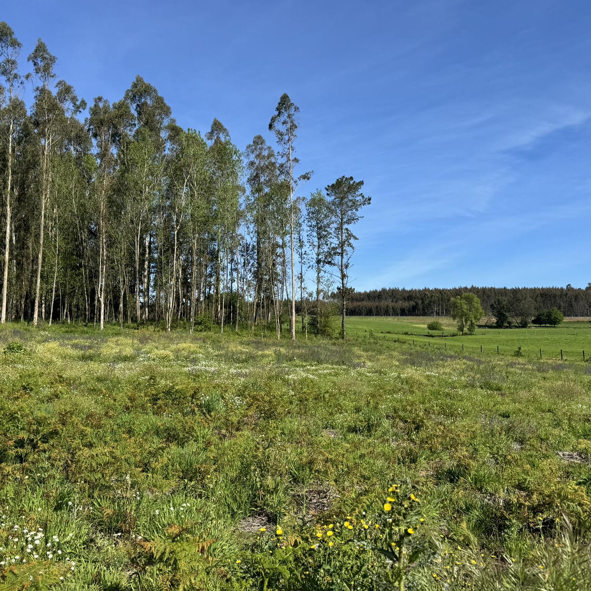
Hiking in Zec Río Tambre offers diverse landscapes centered around the Tambre River, a Special Area of Conservation in Galicia, Spain. The region features extensive gallery forests along the river's middle and upper basins, creating rich riverside ecosystems. As the river approaches the Atlantic, it forms an estuary with intertidal zones, sand dunes, and coastal lagoons. Varied terrain includes Atlantic forests, European dry heaths, and grasslands, providing a range of habitats for exploration.
Best hiking trails in Zec Río Tambre
…Last updated: July 1, 2026
5.0
(1)
10
hikers
Moderate hike. Good fitness required. Easily-accessible paths. Suitable for all skill levels.
4.5
(2)
3
hikers
Moderate hike. Good fitness required. Easily-accessible paths. Suitable for all skill levels.

Sign up for free
6
hikers
4.84km
01:16
30m
40m
Easy hike. Great for any fitness level. Easily-accessible paths. Suitable for all skill levels.
5.0
(2)
7
hikers
11.6km
03:01
70m
70m
Moderate hike. Good fitness required. Easily-accessible paths. Suitable for all skill levels.
2
hikers
Easy hike. Great for any fitness level. Easily-accessible paths. Suitable for all skill levels.
Get access to more routes and recommendations from other explorers.
Sign up for free
Already have an account?
Our route recommendations are based on thousands of hikes, rides, and runs completed by other people on komoot.
Start today with a free account
Your next adventure awaits.
Login or Signup
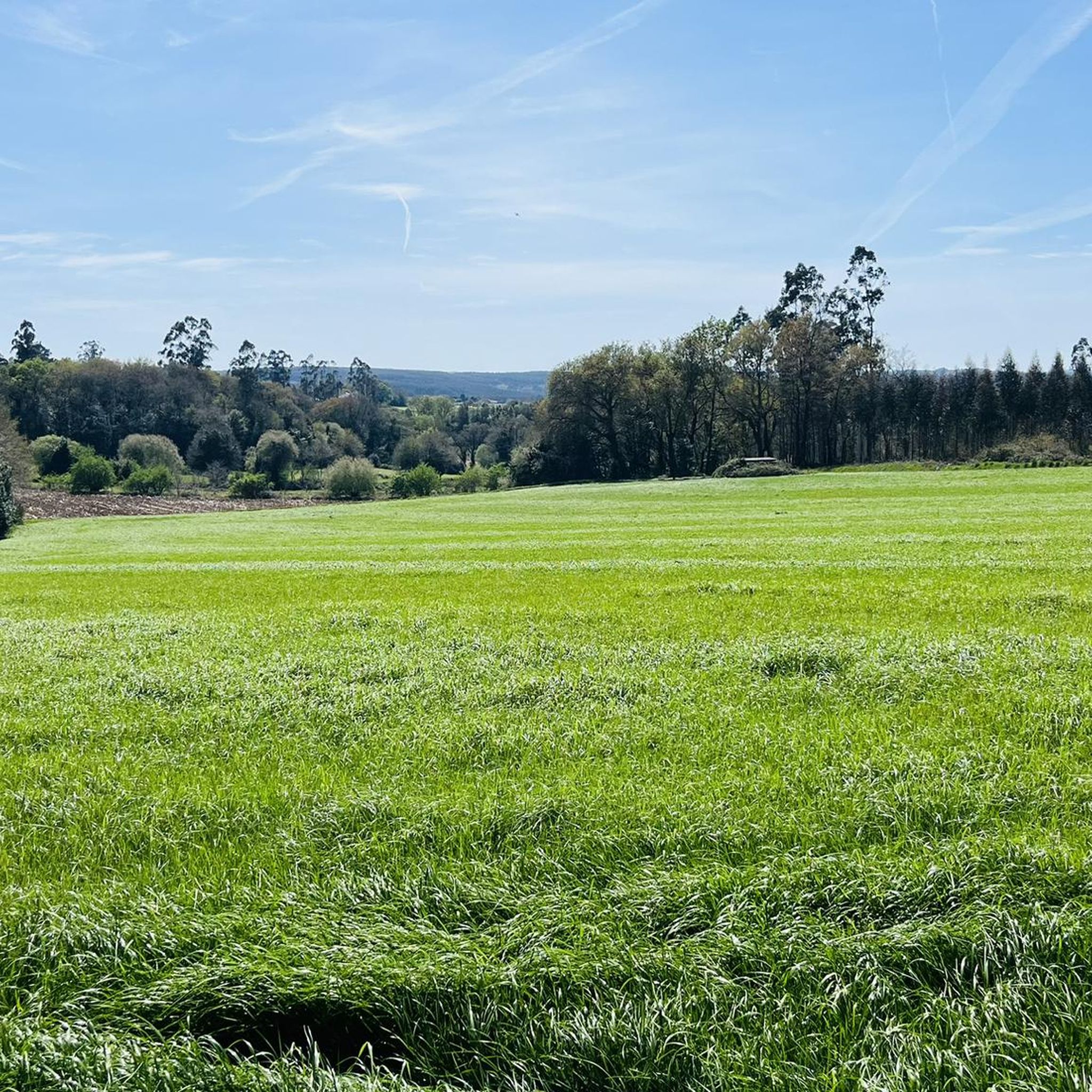
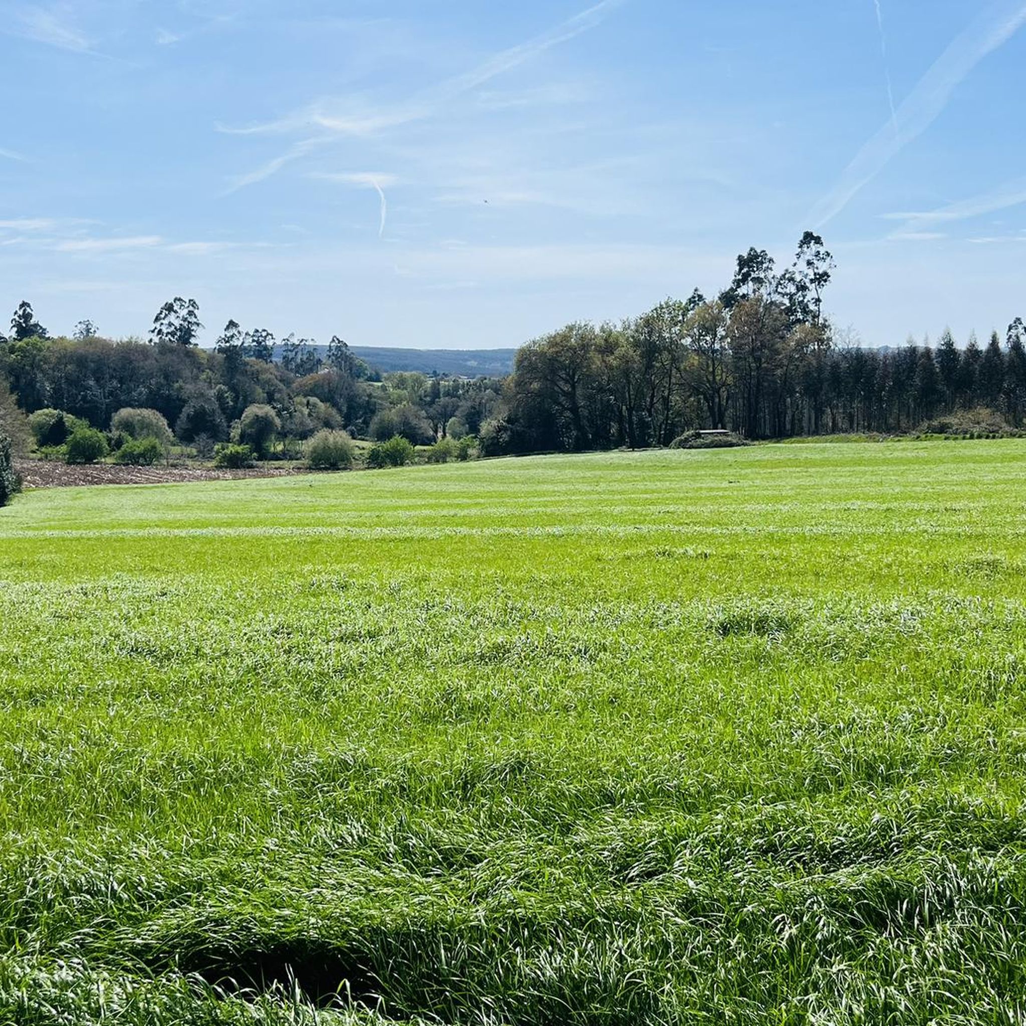
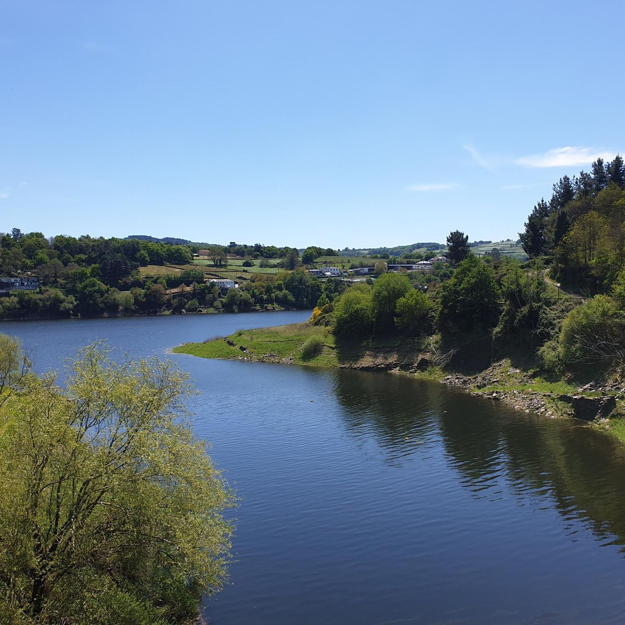
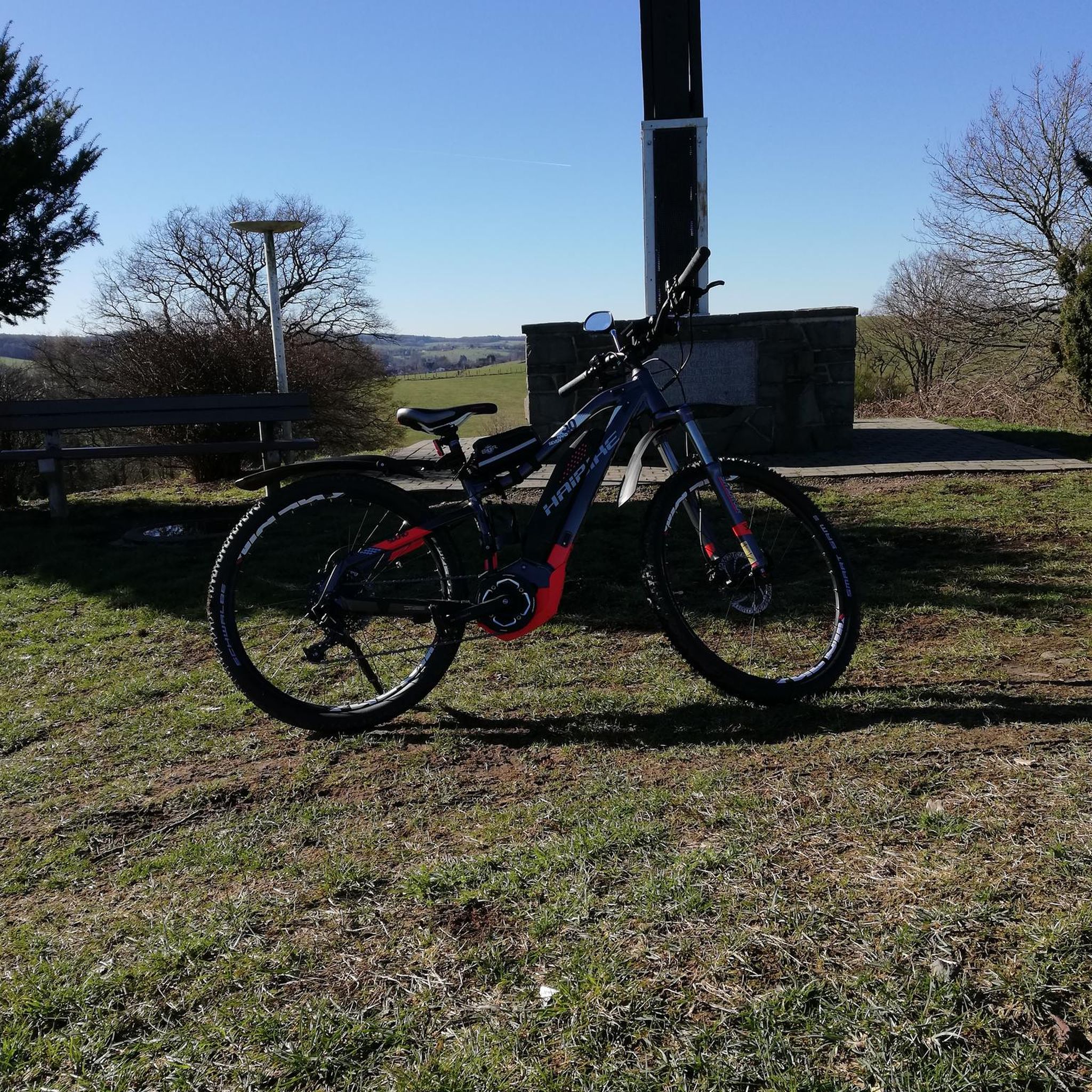
Tips from the Community


Cool area of the greenway for hot days After the old road was engulfed by vegetation, during the clearing work to enable the greenway, many areas were left with a coverage that looks like a tunnel
1
0

super cool, quiet and ideal place for recreation!
0
0


Beautiful place with water to shoot and drink.
0
0
Frequently Asked Questions
How many hiking trails are available in Zec Río Tambre?
Zec Río Tambre offers a wide variety of hiking opportunities, with over 200 routes recorded on komoot. These range from easy strolls to more challenging paths, ensuring options for all skill levels.
What kind of landscapes can I expect to see while hiking in Zec Río Tambre?
The region is characterized by its diverse natural features, primarily centered around the Tambre River. You'll encounter extensive gallery forests along the riverbanks, especially in the middle and upper basins. As the river nears the Atlantic, the Tambre Estuary offers intertidal zones, sand dunes, and coastal lagoons. Inland, there are also examples of Atlantic forests, European dry heaths, and grasslands.
Are there any easy hiking trails suitable for beginners or families in Zec Río Tambre?
Yes, Zec Río Tambre has numerous easy trails. Over 100 routes are classified as easy, making them ideal for beginners or families. An example is the Sculpture in Sigüeiro – English Way loop from Sigüeiro, which is 4.8 km long and takes about 1 hour 16 minutes, leading through pleasant riverside areas.
What are some notable landmarks or points of interest along the hiking routes?
Hikers can discover several interesting points. The charming village of Ponte Maceira, with its medieval bridge and old water mills, is a highlight. You might also encounter the Lobra Viaduct, or explore the Río Cabron Trail. The area also features well-equipped recreational areas like Illa do Refuxio and Penateixa along the riverbanks.
Are dogs allowed on the hiking trails in Zec Río Tambre?
Generally, dogs are welcome on many trails in Zec Río Tambre, especially those that traverse natural areas. However, it's always recommended to keep them on a leash to protect local wildlife and ensure the comfort of other hikers. Specific regulations might apply in certain protected zones or recreational areas, so always check local signage.
What do other hikers enjoy most about hiking in Zec Río Tambre?
The area is highly rated by the komoot community, with an average score of 4.6 stars from over 1,000 reviews. Hikers often praise the serene riverside scenery, the well-preserved natural environments, and the variety of trails suitable for different fitness levels. The blend of natural beauty and cultural points like Ponte Maceira is frequently highlighted.
Are there any circular hiking routes in Zec Río Tambre?
Yes, many routes in Zec Río Tambre are designed as loops, offering convenient circular walks. For instance, the Sculpture in Sigüeiro – English Way loop from O Refuxio de Sigüeiro is a popular 9.4 km circular trail that showcases cultural landmarks and riverside views.
What is the best time of year to go hiking in Zec Río Tambre?
The Zec Río Tambre is enjoyable for hiking throughout much of the year. Spring and autumn offer pleasant temperatures and vibrant natural colors, with lush greenery in spring and rich hues in autumn. Summer can be warm but is ideal for enjoying the riverside recreational areas. Winter hiking is also possible, though some paths might be wetter, and the gallery forests offer a different, tranquil beauty.
Is there public transport or parking available near the trailheads?
The ZEC Río Tambre is accessible via the N-550 road, with numerous turn-offs leading to the Tambre basin. Several municipalities like Oroso, Ordes, and Sigüeiro are part of the protected area, and you can often find parking in or near these towns, close to trail starting points. Public transport options may vary by specific location, so it's advisable to check local bus schedules for routes connecting to the main towns in the area.
Are there any long-distance trails or greenways in the region?
Yes, the Vía Verde Compostela-Tambre-Lengüelle is a significant greenway in the region. It's the longest greenway in Galicia, spanning over 28 kilometers from Oroso to Cerceda. This path follows an old railway line, making it excellent for both walking and cycling, and features points of interest like a viaduct over the Tambre.
Can I find cafes or pubs near the hiking trails in Zec Río Tambre?
Yes, several towns and villages within or bordering Zec Río Tambre, such as Sigüeiro, Ordes, and Oroso, offer amenities including cafes, restaurants, and pubs where you can refresh yourself before or after your hike. These establishments often provide a taste of local Galician hospitality and cuisine.
Most popular routes in Zec Río Tambre
Most popular attractions in Zec Río Tambre

Get inspired with the komoot mobile app


Explore more
Browse the best Hikes in other regions.
