The best cycling routes in Mata Nacional Do Reboredo
5.0
(2)
95
riders
9
rides
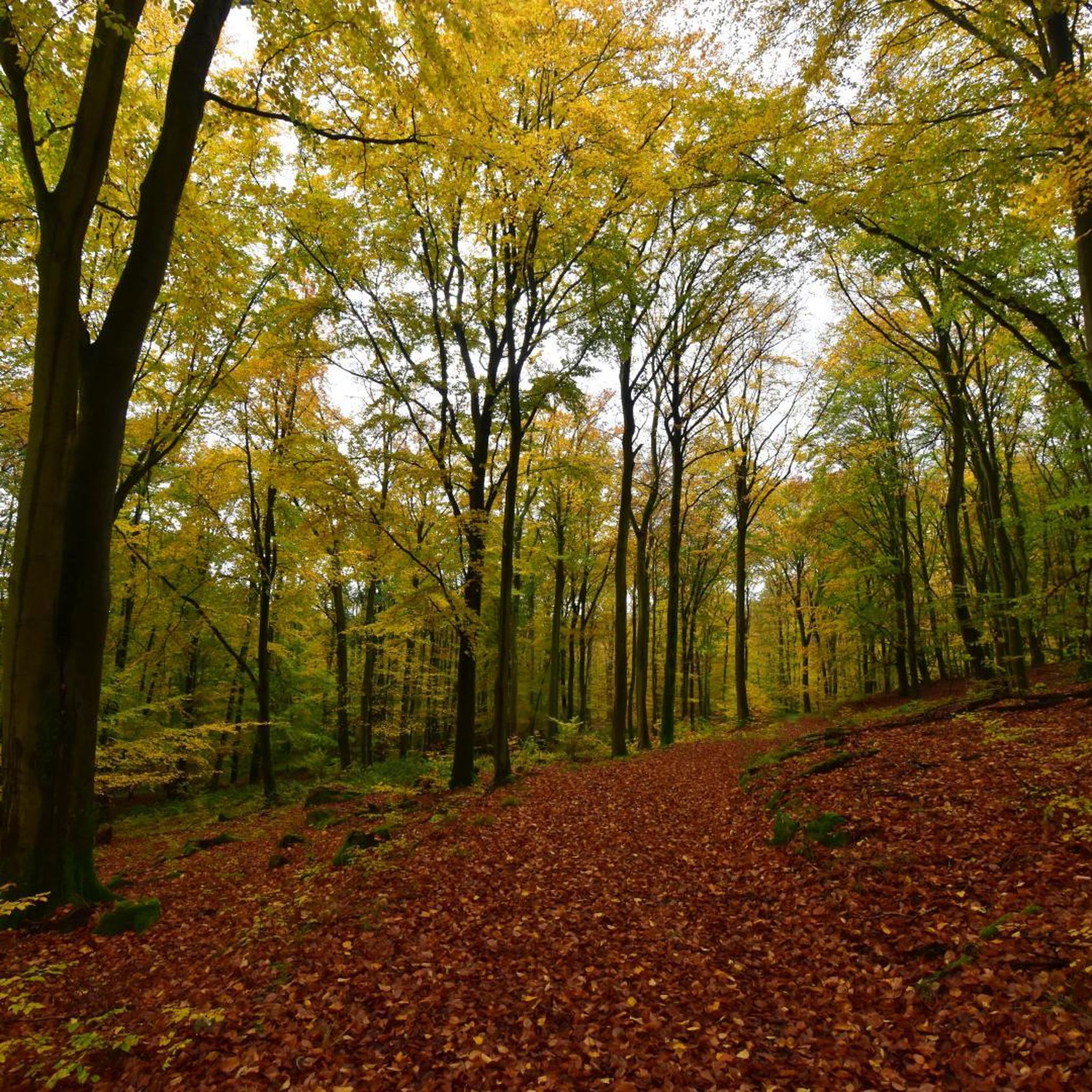
Touring cycling in Mata Nacional Do Reboredo offers routes through a distinctive natural landscape within the Serra do Reboredo. The region is characterized by extensive oak forests, including white oak, cork, and chestnut trees, forming a significant continuous forest in the northeast Transmontano area. Cyclists encounter diverse flora and fauna across varied terrain. The Serra do Reboredo features mountainous sections reaching up to 913 meters, providing challenging climbs and panoramic viewpoints over the surrounding landscape.
Best touring cycling routes in…
Last updated: June 28, 2026
9
riders
59.6km
05:33
1,510m
1,510m
Hard bike ride. Very good fitness required. Mostly paved surfaces. Suitable for all skill levels.
11
riders
73.9km
07:15
1,710m
1,710m
Hard bike ride. Very good fitness required. Mostly paved surfaces. Suitable for all skill levels.

Sign up for free
7
riders
38.8km
04:02
1,080m
1,080m
Hard bike ride. Very good fitness required. Mostly paved surfaces. Suitable for all skill levels.
5.0
(1)
27
riders
59.4km
05:20
840m
840m
Hard bike ride. Very good fitness required. Mostly paved surfaces. Suitable for all skill levels.
19
riders
34.5km
03:18
570m
570m
Hard bike ride. Very good fitness required. Mostly paved surfaces. Suitable for all skill levels.
Get access to more routes and recommendations from other explorers.
Sign up for free
Already have an account?
Our route recommendations are based on thousands of hikes, rides, and runs completed by other people on komoot.
Start today with a free account
Your next adventure awaits.
Login or Signup
Popular around Mata Nacional Do Reboredo
Tips from the Community

The Douro River (in Spanish: Duero) is a river that rises in the peaks of the Sierra de Urbión, in the Spanish province of Soria, at an altitude of 2,160 m, and crosses the north of Portugal to its mouth next to the cities of Porto and Vila Nova de Gaia.
0
0

Old Carmelite convent that is located on one side of the road and that allows us to see incredible views of the monastery and its walls.
0
0
Nice bridge that helps cross this stretch of the Sabor River on a big, tall bridge. Good views of the valley and the surrounding hills.
1
0

nice view along flavor ecopista
0
0

The view is breathtaking, but you have to get up first
0
0
Frequently Asked Questions
How many touring cycling routes are available in Mata Nacional Do Reboredo?
There are 9 touring cycling routes available in Mata Nacional Do Reboredo, offering a range of experiences through the region's distinctive natural landscape.
What is the general difficulty level of touring cycling routes in Mata Nacional Do Reboredo?
The majority of touring cycling routes in Mata Nacional Do Reboredo are classified as difficult, with 8 out of 9 routes falling into this category. There is also 1 moderate route available. This indicates that many routes feature significant climbs and varied terrain.
Are there any circular touring cycling routes in Mata Nacional Do Reboredo?
Yes, several routes in Mata Nacional Do Reboredo are circular. For example, the Larinho Station – View of Torre de Moncorvo loop from Torre de Moncorvo is a popular circular option, as is the Bike loop from Torre de Moncorvo.
What kind of landscapes can I expect to see while cycling in Mata Nacional Do Reboredo?
Cyclists in Mata Nacional Do Reboredo will experience extensive oak forests, including white oak, cork, and chestnut trees, which form the largest continuous oak forest in the northeast Transmontano region. The routes also traverse mountainous terrain, offering panoramic views from viewpoints like Miradouro de Santa Leocádia and Fraga do Facho.
Are there any routes that pass near water bodies?
Yes, the Albufeira do Feiticeiro – Praia Fluvial de Foz do Sabor loop from Torre de Moncorvo traverses varied landscapes, including sections near water bodies such as Albufeira do Feiticeiro and Praia Fluvial de Foz do Sabor.
What are the highest points or viewpoints accessible by touring bike in the region?
The Serra do Reboredo reaches a maximum altitude of 913 meters, providing challenging climbs and rewarding panoramic vistas. Notable viewpoints like Miradouro de Santa Leocádia and Fraga do Facho offer breathtaking perspectives of the surrounding landscape, including the village of Torre de Moncorvo.
What do other touring cyclists say about the routes in Mata Nacional Do Reboredo?
The routes in Mata Nacional Do Reboredo are highly rated by the komoot community, with an average score of 5.0 stars from over 2 reviews. Cyclists often praise the challenging climbs, expansive views, and the opportunity to explore the region's rich natural environment.
What kind of wildlife might I encounter while cycling?
The area is rich in biodiversity. Cyclists may encounter various wildlife such as woodpeckers, cuckoos, jays, owls, roe deer, wild boar, genets, squirrels, and badgers, enhancing the natural experience through the lush forests.
Is there a touring cycling route that starts from Pocinho?
Yes, the View of Torre de Moncorvo – Larinho Station loop from Pocinho is a difficult 59.4 km route that starts from Pocinho, offering significant elevation gain and scenic views.
What is the longest touring cycling route available in Mata Nacional Do Reboredo?
The longest touring cycling route is the Larinho Station – View of Torre de Moncorvo loop from Torre de Moncorvo, which spans 73.6 km (45.8 miles) and typically takes around 7 hours and 13 minutes to complete, featuring significant elevation gain.
What types of trees dominate the forests in Mata Nacional Do Reboredo?
The Mata Nacional Do Reboredo is distinguished by its significant presence of white oak (Quercus Robur), cork trees, and chestnut trees, along with pines. This forms the largest continuous oak forest in the northeast Transmontano region, providing shaded and scenic routes.
Are there any shorter, moderate touring cycling options in the area?
Yes, for a moderate option, you can consider the Bike loop from Torre de Moncorvo. This route is 29.7 km long and has a moderate difficulty grade, making it a good choice for those seeking a less strenuous ride compared to the more challenging routes.
Most popular routes in Mata Nacional Do Reboredo

Get inspired with the komoot mobile app


Explore more
Browse the best Cycling routes in other regions.
