The best road cycling routes in Paratge Natural Municipal El Tello
4.4
(27)
2,090
riders
67
rides
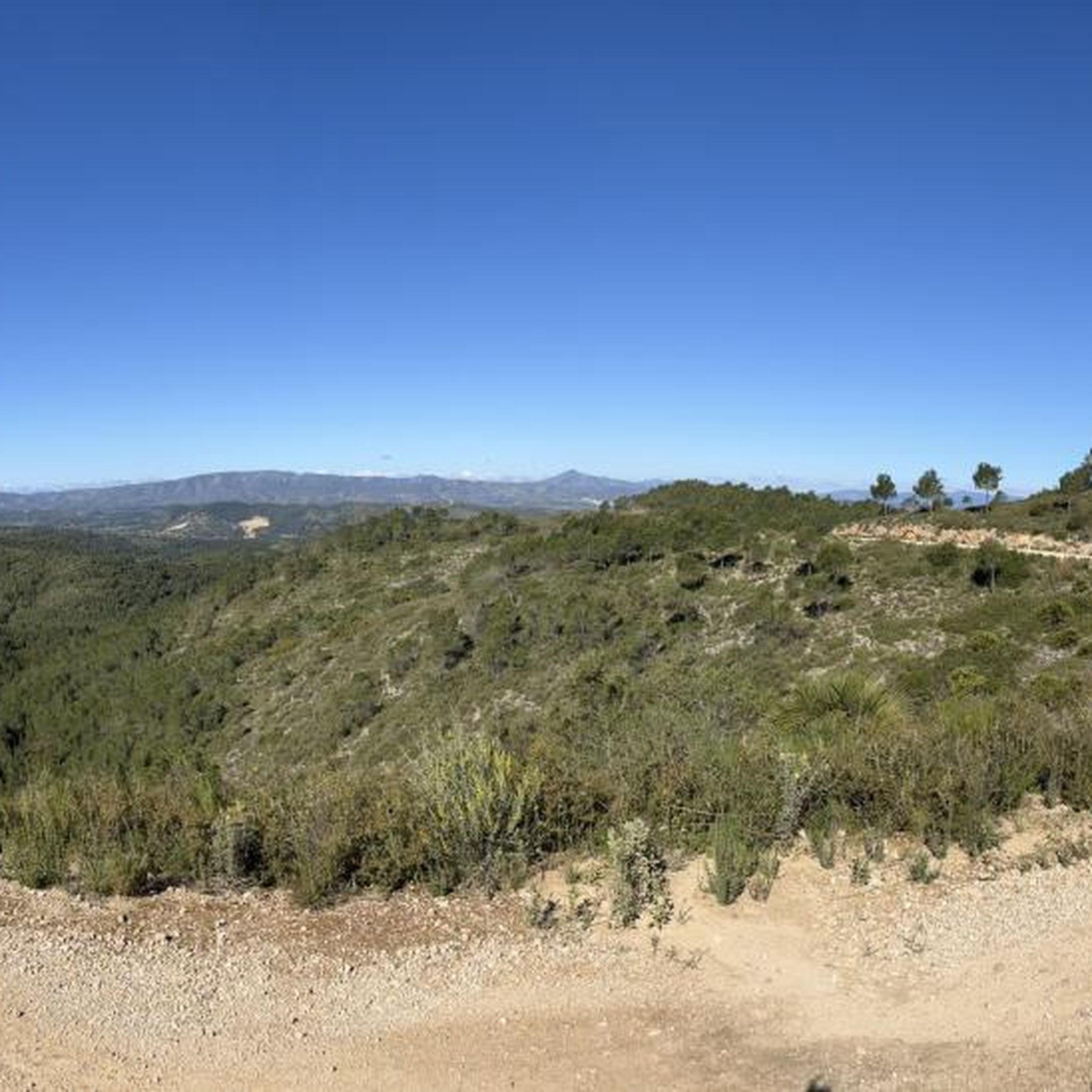
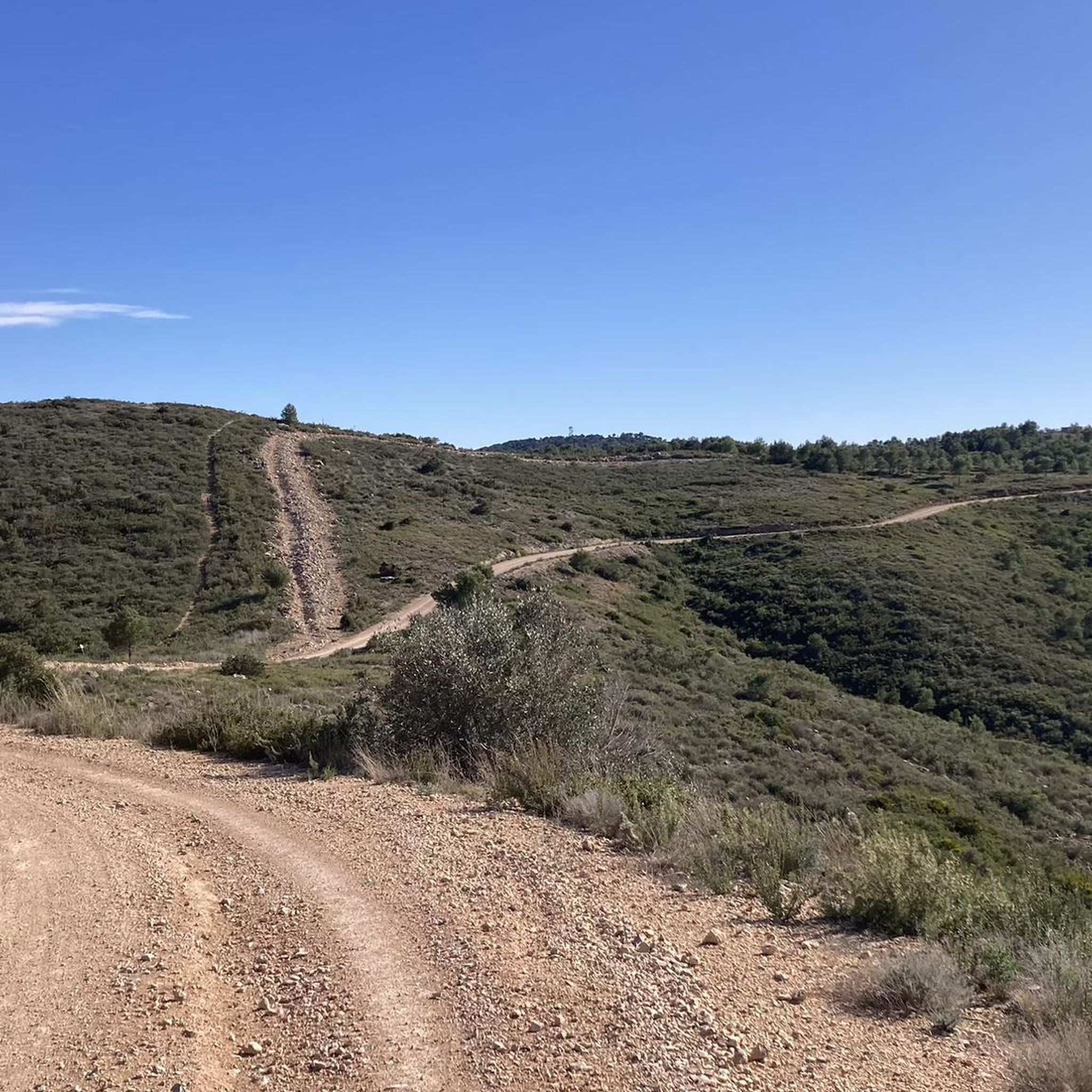
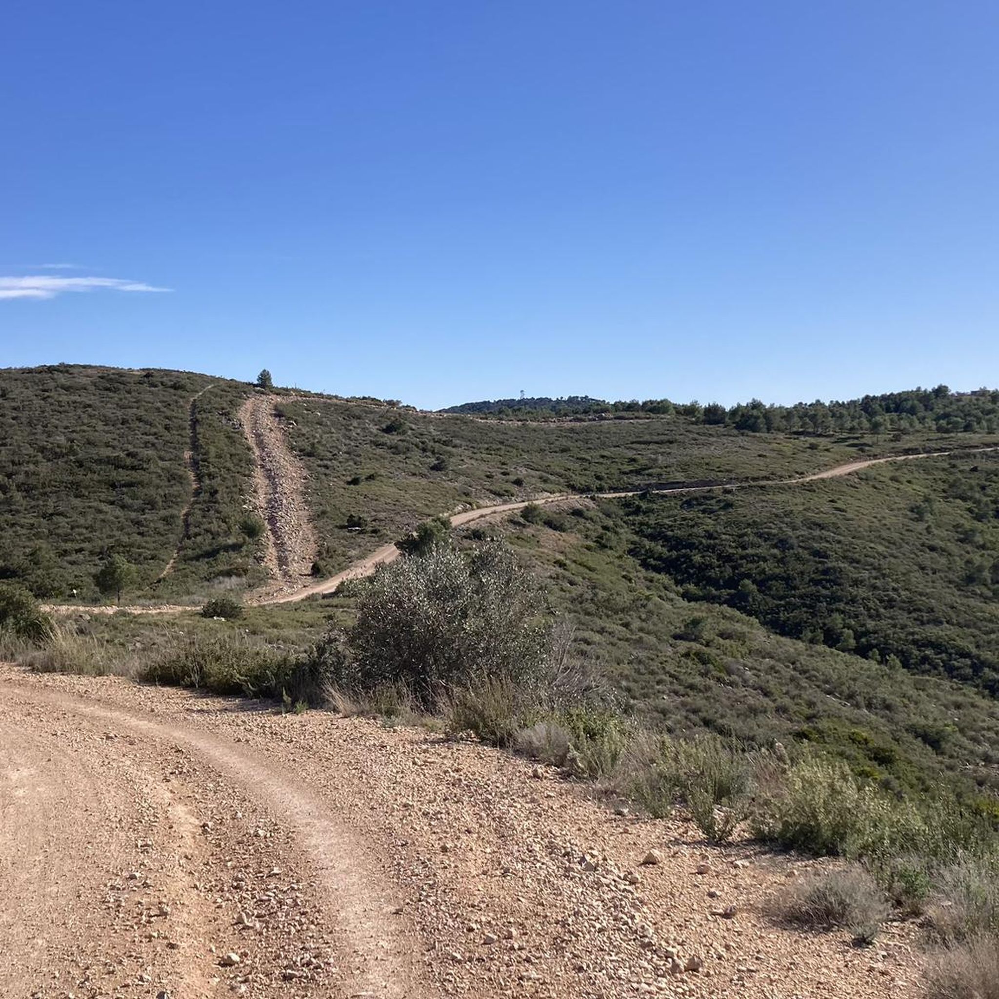
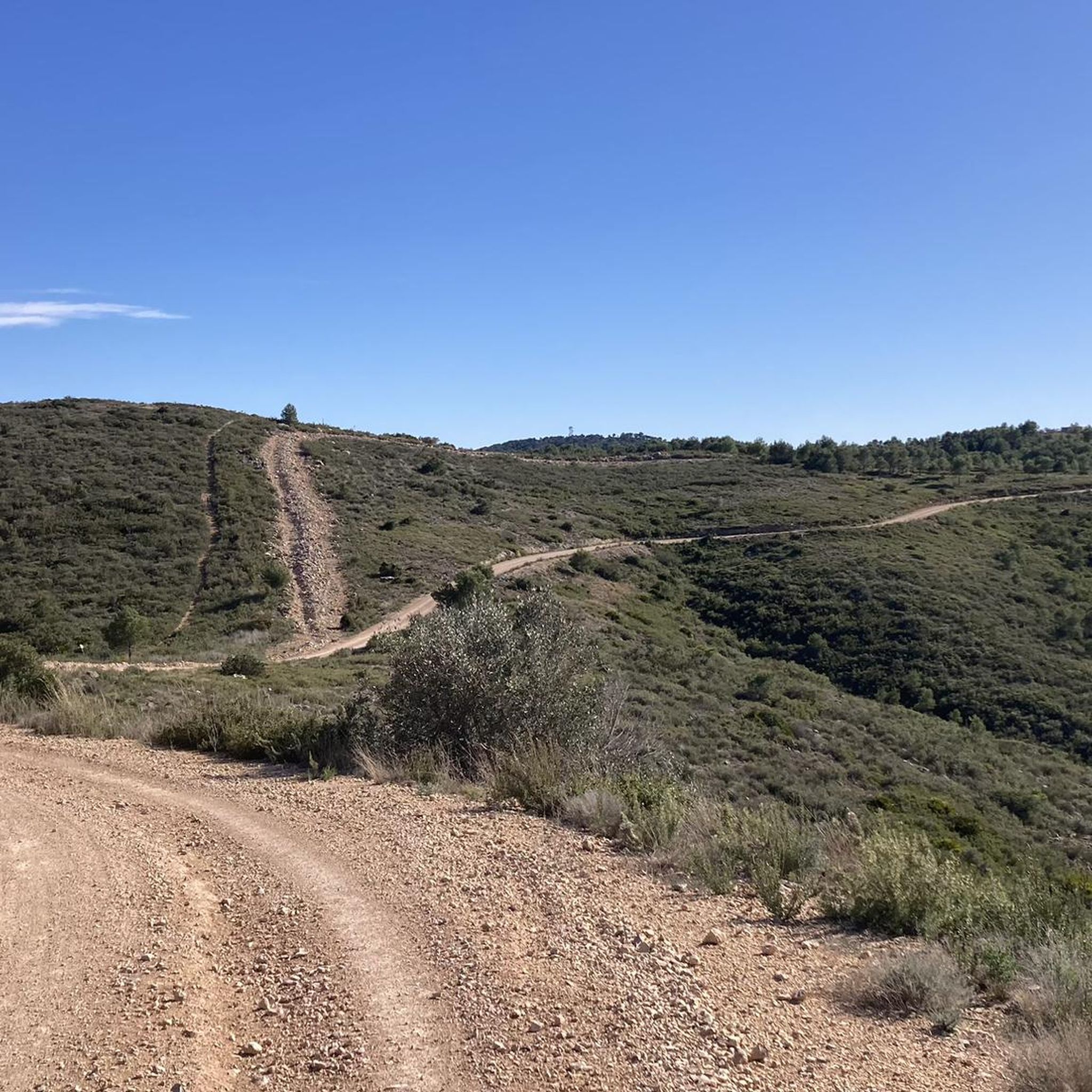
Road cycling routes in Paratge Natural Municipal El Tello traverse diverse landscapes within this 1,065-hectare natural park in Valencia. The terrain features a mix of pine forests, low-lying scrub, and traditional dry farming crops. Elevations, such as the 361-meter Pico Besori, offer opportunities for climbs and panoramic views. The area's road cycling paths are generally paved, providing a suitable environment for road bikes.
Best road cycling routes in Paratge Natural Municipal El Tello
- The most popular road cycling route is…
Last updated: July 5, 2026
5.0
(4)
99
riders
58.1km
02:38
600m
600m
Moderate road ride. Good fitness required. Mostly well-paved surfaces and easy to ride.
70
riders
69.6km
03:43
1,370m
1,370m
Hard road ride. Very good fitness required. Mostly well-paved surfaces and easy to ride.

Sign up for free
76
riders
42.5km
01:50
240m
240m
Easy road ride. Great for any fitness level. Mostly well-paved surfaces and easy to ride.
5.0
(1)
57
riders
75.4km
03:24
770m
770m
Moderate road ride. Good fitness required. Some segments of this route may be unpaved and difficult to ride.
11
riders
23.0km
01:06
330m
330m
Moderate road ride. Good fitness required. Mostly well-paved surfaces and easy to ride.
Get access to more routes and recommendations from other explorers.
Sign up for free
Already have an account?
Our route recommendations are based on thousands of hikes, rides, and runs completed by other people on komoot.
Start today with a free account
Your next adventure awaits.
Login or Signup

Tips from the Community

Pass with a fairly constant and accessible slope.
1
0

Traditional stone-built fountain, located at the entrance to this town in the Canal de Navarrés. It is a point of natural and heritage interest, frequented on hiking and water routes in the area, such as those near the Júcar canyon. It is located near the area of the Molino de los Moros and the Chorrador del Bosque («El Monstruo»). It is part of the municipality's water resources, often visited along with other points such as the Fuente de las Donas or the washhouses.
0
0
Junt al canal existeix una carretera poc transitada molt adequada per a circular en bici des de prop de Tous fins el terme d'Aldaia, a partir del qual el canal segueix de manera subterrània.
1
0
The pass begins when crossing the bridge over the Jucar river and ends when entering the town of Millares. It is 4.2 km at 4.3%
0
0
Long mural with two distinct parts, one with characters and the other with a message.
1
0


Currently difficult to reach due to debris (looks like flooding)
1
0

The Cueva Turche in Buñol is a beautiful spot worth visiting, especially after heavy rains, when we can enjoy a waterfall that falls 60 metres high.
5
0
Frequently Asked Questions
How many road cycling routes are available in Paratge Natural Municipal El Tello?
Paratge Natural Municipal El Tello offers a wide selection of road cycling routes, with over 70 options available. These routes cater to various skill levels, ensuring there's something for everyone.
What is the general difficulty level of road cycling in Paratge Natural Municipal El Tello?
The routes in Paratge Natural Municipal El Tello offer a diverse range of difficulties. You'll find approximately 12 easy routes, 46 moderate routes, and 13 challenging routes, providing options for all experience levels.
Are there challenging road cycling routes for experienced cyclists?
Yes, experienced cyclists will find plenty of challenging routes. For instance, the Fuente Real Pass – View of Dos Aguas loop from Llombai is a difficult 43.3-mile (69.6 km) path featuring significant elevation gains and rewarding descents.
Can beginners find suitable road cycling routes in the area?
Absolutely. There are several easy routes perfect for beginners. A good option is the Júcar to Turia Canal – Weir of the Magre River loop from Real, a 26.7-mile (43.0 km) trail leading through river valleys and agricultural areas with less demanding climbs.
What kind of landscapes can I expect to see while road cycling in Paratge Natural Municipal El Tello?
Road cycling in Paratge Natural Municipal El Tello takes you through diverse landscapes, including pine forests, low-lying scrub, and traditional dry farming crops. You'll also encounter significant elevations, such as Pico Besori, offering panoramic views that can stretch as far as La Albufera.
Are there any historical or cultural landmarks to visit along the road cycling routes?
Yes, the region is rich in history. You can incorporate visits to sites like the ancient Alédua Tower, an Asset of Cultural Interest, or explore ethnological sites such as the 'Pouet de L'Estepar' and old livestock corrals, showcasing the area's traditional heritage.
Where can I find scenic viewpoints during my road cycling trip?
For breathtaking vistas, consider routes that pass by high points like Pico Besori, the highest point in the area. The L'Estepar Viewpoint and the View of the Gulf of Valencia from Alt de València are also excellent spots to enjoy extensive panoramic views of the Valencian landscape.
What do other road cyclists enjoy most about road cycling in Paratge Natural Municipal El Tello?
The area is highly rated by the komoot community, with an average score of 4.5 stars from over 20 reviews. Cyclists often praise the varied terrain, the mix of challenging climbs and rewarding descents, and the opportunity to combine natural beauty with historical sites.
Is Paratge Natural Municipal El Tello suitable for family-friendly road cycling?
While many routes involve significant elevations, there are easier, shorter routes that can be suitable for families with some cycling experience. Look for routes categorized as 'easy' to find paths with gentler gradients and less traffic.
What is the best time of year for road cycling in Paratge Natural Municipal El Tello?
The Valencia region generally offers favorable cycling weather for much of the year. Spring and autumn provide pleasant temperatures, making them ideal for road cycling. Summers can be hot, so early morning or late afternoon rides are recommended, while winters are typically mild.
Are there options for long-distance road cycling routes in the area?
Yes, for those looking for longer rides, routes like the Font de l'Algoder – Riu Magre - Pas de l'Horteta loop from Real cover approximately 90.6 miles (145.8 km), offering extended distances and significant elevation changes for endurance cyclists.
Where can I find parking for road cycling routes in Paratge Natural Municipal El Tello?
Many road cycling routes in the vicinity of Paratge Natural Municipal El Tello start from nearby towns such as Llombai, Real, or Alfarb. These towns typically offer public parking options where you can safely leave your vehicle before starting your ride.
Most popular routes in Paratge Natural Municipal El Tello
Most popular attractions in Paratge Natural Municipal El Tello

Get inspired with the komoot mobile app


Explore more
Browse the best Road cycling routes in other regions.
