The best road cycling routes in Paraje Natural Municipal Matamón
4.5
(22)
1,187
riders
12
rides
Road cycling in Paraje Natural Municipal Matamón features a diverse landscape, characterized by river valleys, agricultural plains, and elevated passes. The region, part of a natural park, offers varied terrain suitable for road cyclists. Routes often navigate through areas with gentle gradients and some significant climbs, providing a mix of challenges and scenic views.
Best road cycling routes in Paraje Natural Municipal Matamón
- The most popular road cycling route is Torre de Montroy – Bar El Cazador loop from Llombai…
Last updated: July 5, 2026
5.0
(4)
99
riders
58.1km
02:38
600m
600m
Moderate road ride. Good fitness required. Mostly well-paved surfaces and easy to ride.
70
riders
69.6km
03:43
1,370m
1,370m
Hard road ride. Very good fitness required. Mostly well-paved surfaces and easy to ride.

Sign up for free
57
riders
66.4km
03:10
570m
570m
Cycle 41.2 miles (66.4 km) on this moderate road route through Valencia's quiet interior, featuring river valleys and orange groves.
45
riders
110km
04:49
960m
960m
Hard road ride. Very good fitness required. Mostly well-paved surfaces and easy to ride.
15
riders
96.7km
04:26
850m
850m
Moderate road ride. Good fitness required. Some segments of this route may be unpaved and difficult to ride.
Get access to more routes and recommendations from other explorers.
Sign up for free
Already have an account?
Our route recommendations are based on thousands of hikes, rides, and runs completed by other people on komoot.
Start today with a free account
Your next adventure awaits.
Login or Signup

Tips from the Community

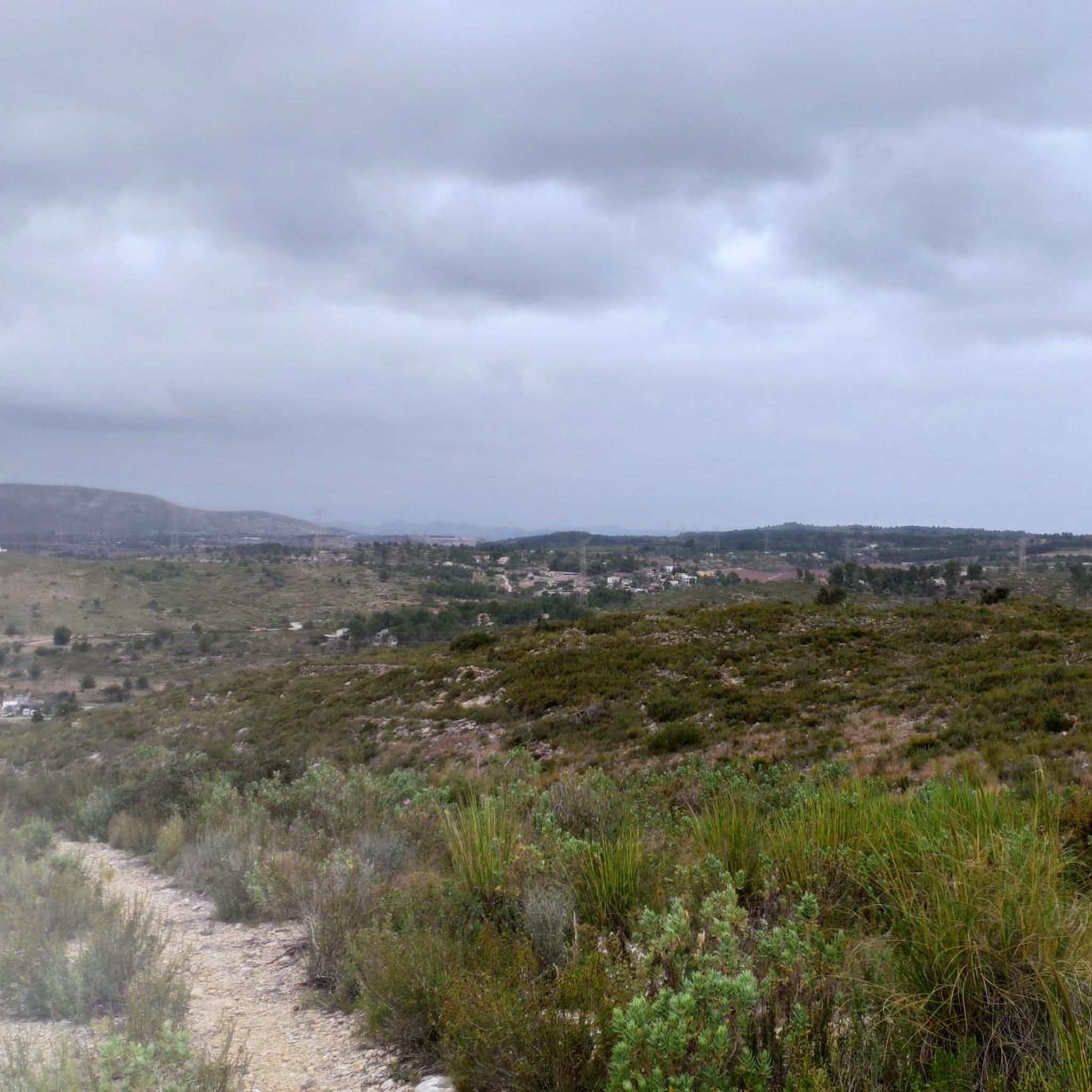
Pass with a fairly constant and accessible slope.
1
0

Traditional stone-built fountain, located at the entrance to this town in the Canal de Navarrés. It is a point of natural and heritage interest, frequented on hiking and water routes in the area, such as those near the Júcar canyon. It is located near the area of the Molino de los Moros and the Chorrador del Bosque («El Monstruo»). It is part of the municipality's water resources, often visited along with other points such as the Fuente de las Donas or the washhouses.
0
0
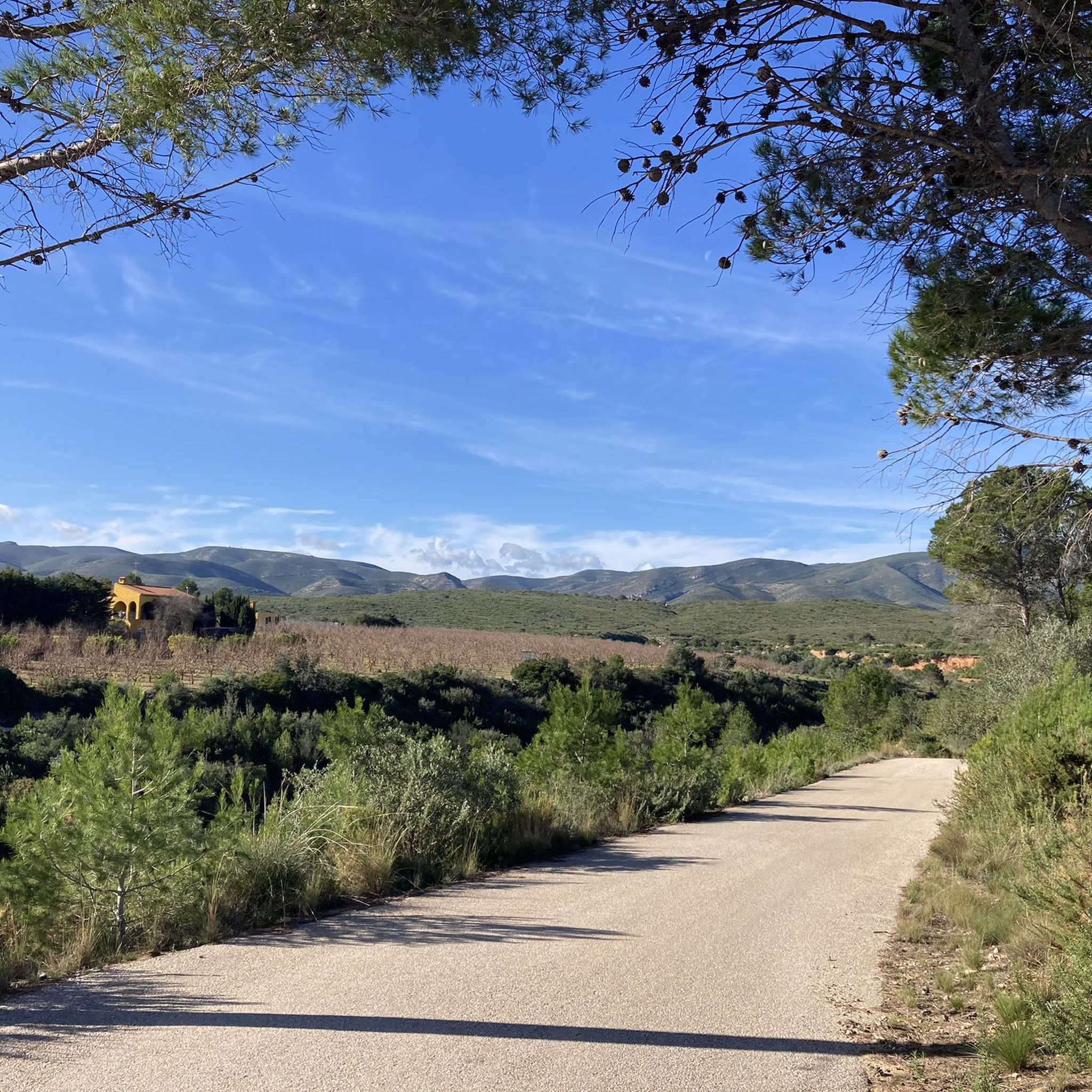
Junt al canal existeix una carretera poc transitada molt adequada per a circular en bici des de prop de Tous fins el terme d'Aldaia, a partir del qual el canal segueix de manera subterrània.
1
0
The pass begins when crossing the bridge over the Jucar river and ends when entering the town of Millares. It is 4.2 km at 4.3%
0
0
Long mural with two distinct parts, one with characters and the other with a message.
1
0

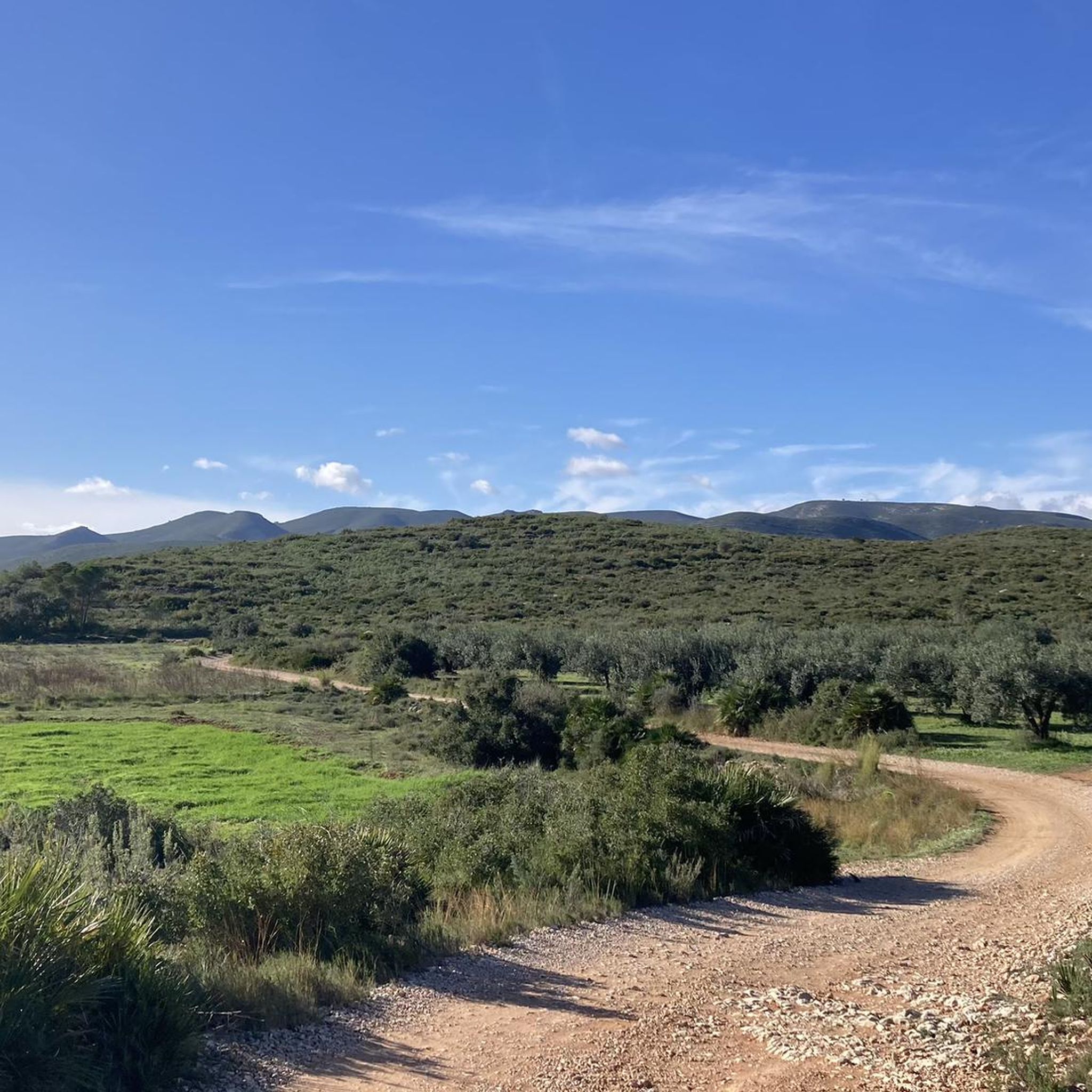
Tremendous views of the area. It's worth climbing
1
0
The Fuente Real port (adding the section of the Balcòn de Montroy port) is 10km at 4.4%, with a couple of kms in each section above 5% (reaching 7% in some areas) and the rest calmer.
1
0
Frequently Asked Questions
Are there road cycling routes suitable for beginners in Paraje Natural Municipal Matamón?
Yes, Paraje Natural Municipal Matamón offers at least one easy road cycling route. The region features varied terrain, including river valleys and agricultural plains, which can provide gentler gradients suitable for those new to road cycling.
What are some challenging road cycling routes in Paraje Natural Municipal Matamón?
For experienced road cyclists seeking a challenge, the region has two difficult routes. A notable option is the Fuente Real Pass – View of Dos Aguas loop from Llombai, which covers 43.3 miles (69.6 km) and features significant elevation gain, leading to expansive views. Another demanding route is the Weir of the Magre River – Venta Cabrera loop from Carlet, a much longer 113.4 miles (182.5 km) ride with substantial climbing.
What is the typical distance and duration for road cycling routes in Paraje Natural Municipal Matamón?
Routes in Paraje Natural Municipal Matamón vary in length and duration. For example, the popular Torre de Montroy – Bar El Cazador loop from Llombai is 36.1 miles (58.1 km) and typically takes around 2 hours 37 minutes. Longer routes, such as the Júcar to Turia Canal – Weir of the Magre River loop from Carlet, extend to 59.9 miles (96.6 km) and can take over 4 hours.
Is parking available for road cyclists in Paraje Natural Municipal Matamón?
Yes, parking is generally available in the towns and villages that serve as starting points for many routes, such as Llombai and Carlet. These locations offer convenient access to the road cycling network within the natural park.
Are there any family-friendly road cycling options in Paraje Natural Municipal Matamón?
While most routes are moderate to difficult, there is at least one easy route that could be suitable for families with older children or those looking for a less strenuous ride. These routes often traverse the flatter agricultural plains and river valleys, offering a more relaxed experience.
What is the best time of year for road cycling in Paraje Natural Municipal Matamón?
The spring and autumn months are generally ideal for road cycling in Paraje Natural Municipal Matamón, offering pleasant temperatures. Summer can be quite warm, especially in the middle of the day, so early morning or late afternoon rides are recommended during this season to avoid the heat.
Are there cafes or places to stop for refreshments along the road cycling routes?
Many routes pass through or near local towns and villages like Llombai and Carlet, where you can find cafes, bars, and small shops to refuel and refresh. These stops are often integrated into the route planning, providing convenient breaks.
Are there viewpoints or scenic spots along the road cycling routes in Paraje Natural Municipal Matamón?
Yes, the region's diverse landscape includes elevated passes that offer expansive views. For instance, the Fuente Real Pass – View of Dos Aguas loop from Llombai is specifically known for its panoramic vistas from the Fuente Real Pass.
What kind of wildlife might I spot while road cycling in Paraje Natural Municipal Matamón?
As a natural park, the area is home to various local wildlife. While road cycling, you might encounter common birds, small mammals, and reptiles, particularly in the quieter, less developed sections of the routes that pass through natural habitats and agricultural areas.
Are there circular road cycling routes available in Paraje Natural Municipal Matamón?
Yes, many of the road cycling routes in Paraje Natural Municipal Matamón are designed as loops, allowing you to start and finish in the same location. Examples include the popular Ribera Alta Loop and the Torre de Montroy – Bar El Cazador loop from Llombai.
What do other road cyclists enjoy most about road cycling in Paraje Natural Municipal Matamón?
The area is highly rated by the komoot community, with an average score of 4.3 stars from over 20 reviews. Cyclists often praise the diverse landscape, which combines river valleys, agricultural plains, and challenging passes, offering a good mix of terrain and scenic views.
How many road cycling routes are available in Paraje Natural Municipal Matamón?
There are over 10 road cycling routes documented in Paraje Natural Municipal Matamón, catering to various skill levels from easy to difficult. This provides a wide selection for exploring the region's unique terrain.
Most popular routes in Paraje Natural Municipal Matamón

Get inspired with the komoot mobile app


Explore more
Browse the best Road cycling routes in other regions.
