The best walks and hikes in Paratge Natural Municipal Muntanya De Llaurí
4.5
(674)
4,344
hikers
174
hikes
Hiking in Paratge Natural Municipal Muntanya De Llaurí offers diverse natural landscapes and rugged topography within the Ribera Baixa region of Valencia province, Spain. This natural municipal park spans over 223 hectares, featuring ravines, hills, and varied terrain. The area includes peaks exceeding 500 meters in altitude, rising close to the Levantine coastline, and forms part of the Sierra de Corberá. Hikers can explore Mediterranean forests and enjoy panoramic views from various points, making it an excellent destination for outdoor…
Last updated: July 8, 2026
3
hikers
Hard hike. Good fitness required. Sure-footedness, sturdy shoes and alpine experience required.
4.3
(13)
52
hikers
10.6km
03:06
290m
290m
Moderate hike. Good fitness required. Mostly accessible paths. Sure-footedness required.

Sign up for free
4.8
(8)
67
hikers
10.8km
03:58
480m
480m
Hard hike. Good fitness required. Sure-footedness, sturdy shoes and alpine experience required.
5.0
(1)
33
hikers
14.2km
04:42
430m
440m
Moderate hike. Good fitness required. Mostly accessible paths. Sure-footedness required.
4.8
(14)
154
hikers
Hard hike. Good fitness required. Sure-footedness, sturdy shoes and alpine experience required.
Get access to more routes and recommendations from other explorers.
Sign up for free
Already have an account?
Our route recommendations are based on thousands of hikes, rides, and runs completed by other people on komoot.
Start today with a free account
Your next adventure awaits.
Login or Signup
Popular around Paratge Natural Municipal Muntanya De Llaurí
Road Cycling Routes in Paratge Natural Municipal Muntanya De Llaurí
Running Trails in Paratge Natural Municipal Muntanya De Llaurí
Cycling in Paratge Natural Municipal Muntanya De Llaurí
MTB Trails in Paratge Natural Municipal Muntanya De Llaurí

Gravel biking in Paratge Natural Municipal Muntanya De Llaurí
Tips from the Community

És un bar típic en Alzira per a esmorzars i per a dinar bones paelles.
1
0
The Garrofer spring is a spring where water, coming from the Agulles aquifer, flows happily through two pipes and is channeled to an adjacent washhouse. Despite the warning that the water is not potable (as it is not chlorinated or subject to any health control), thousands of Alzire residents travel up to thirteen kilometers and sometimes form long queues to fill their water jugs.
1
0

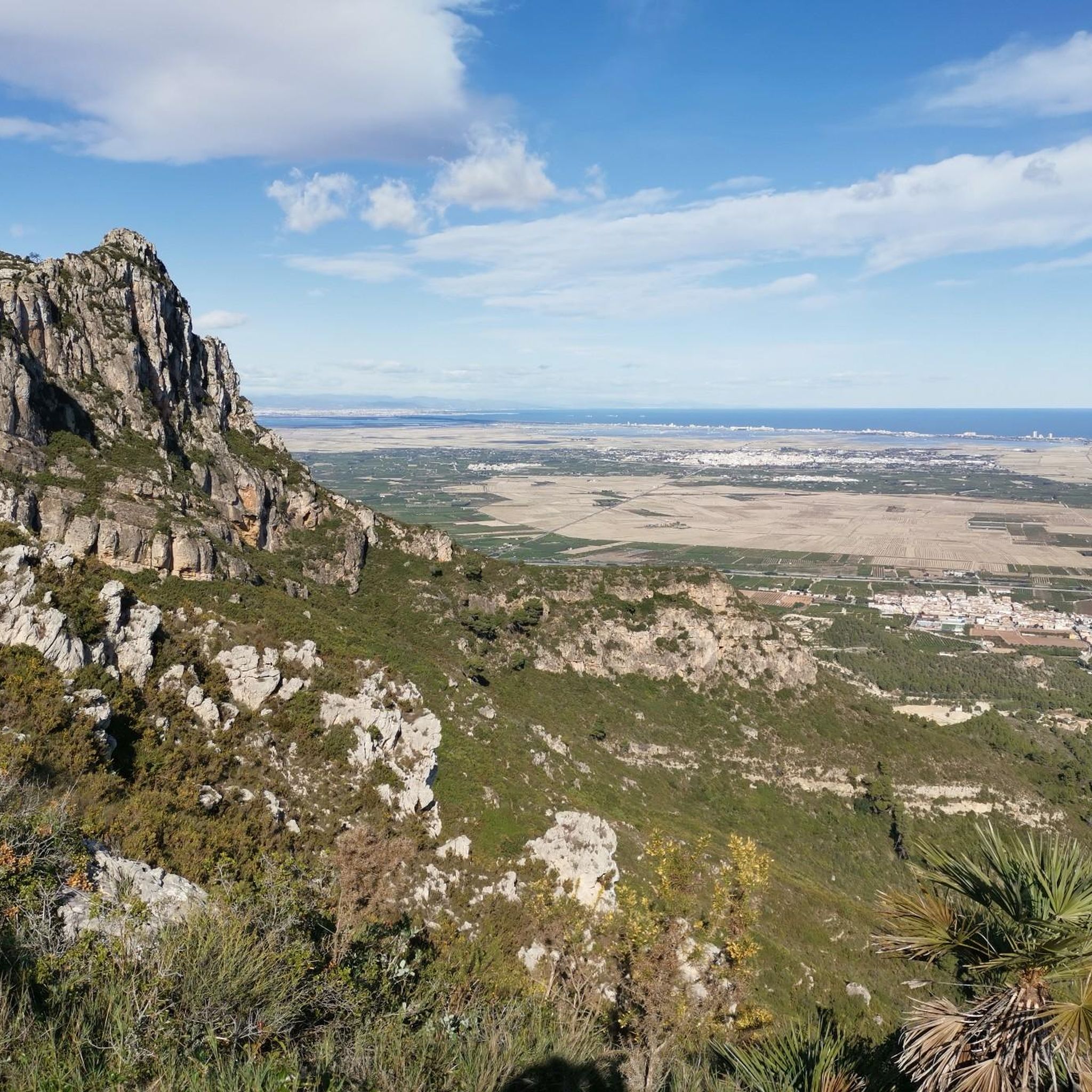
L'Ouet is a peak in the Sierra de Corberá, near Alzira. It is a popular destination for hiking enthusiasts due to its stunning panoramic views and natural surroundings. The route to L'Ouet is quite accessible and well signposted, making it suitable for hikers of different levels.
3
0
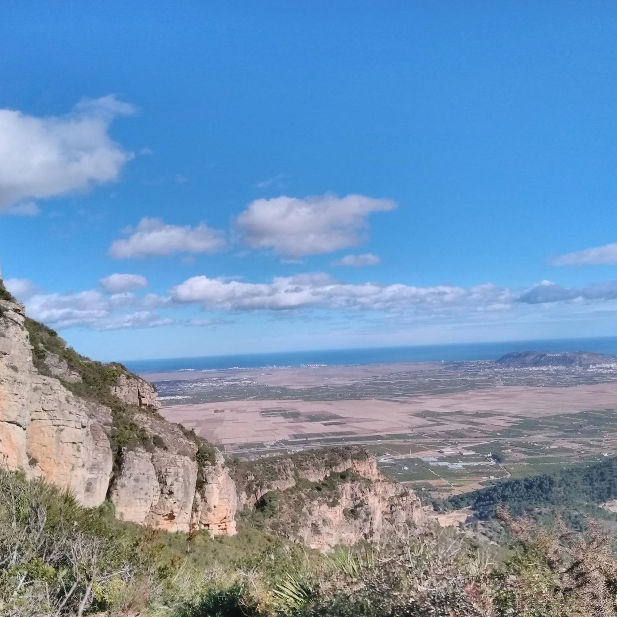
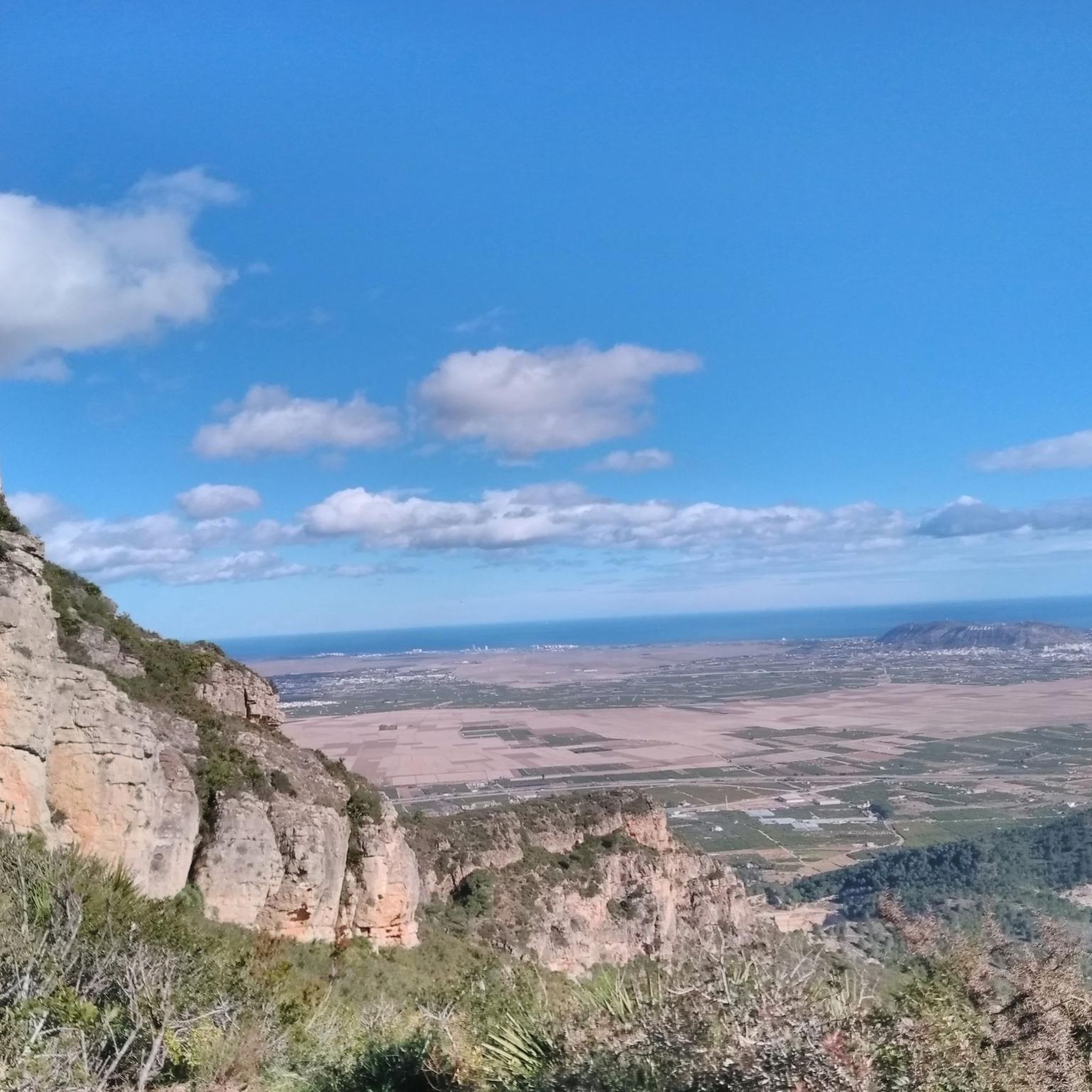
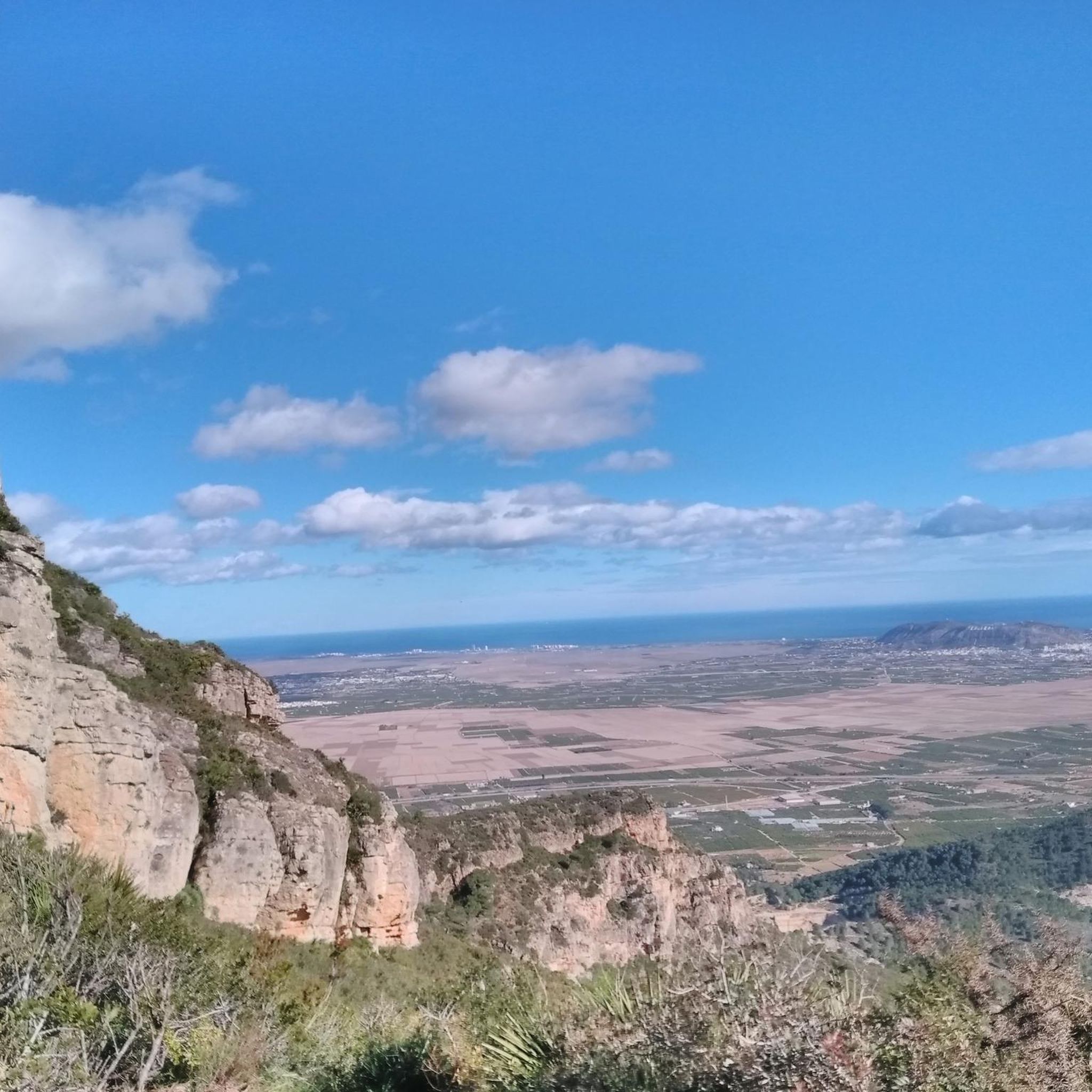
The Mirador de La Casella is a spectacular place in Alzira, located in the Paraje Natural de la Murta y la Casella, within the Sierra de Corberá. From this viewpoint, you can enjoy stunning panoramic views of the surrounding valleys and mountains.
3
0
The Cova de la Galera is an impressive natural cave located in Favara, in the province of Valencia. This cave is located in the Sierra de Corbera, about 410 meters above sea level. It is known for its spectacular nature and its whimsical shape, with stalactites and stalagmites decorating its interior. The cave has been used throughout history for various purposes, from shelter for livestock to hiding during the Spanish Civil War. In addition, evidence of human use has been found dating back to the Bronze Age.
4
0

From Favara through the Barranco de Infierno. Classified as dangerous according to Komoot, which is not true. Very interesting prospects for La Mola. A safety cable is stretched across the rock face. Climb up the last bit. Extensive views over the coast from the Montgo to Valencia. View of L'Ouet.
0
1
Great cave. It's worth going down. It's dripping everywhere. Flashlight recommended.
1
0
Frequently Asked Questions
How many hiking trails are available in Paratge Natural Municipal Muntanya De Llaurí?
Paratge Natural Municipal Muntanya De Llaurí offers a wide selection of hiking trails, with over 170 routes to explore. These range from easy walks to more challenging excursions, catering to various fitness levels.
What kind of terrain can I expect when hiking in Paratge Natural Municipal Muntanya De Llaurí?
The region is characterized by diverse natural landscapes, including rugged topography, ravines, and hills. You'll encounter varied terrain with peaks exceeding 500 meters in altitude, often rising close to the Levantine coastline.
Are there any trails with panoramic viewpoints?
Yes, the area is renowned for its panoramic views. Elevated points such as L'Ouet provide sweeping vistas of the Serra de Corbera and Serra de les Agulles mountain ranges, extending all the way to the Levantine coastline. For a challenging route with extensive views, consider the Paraje Natural La Casella — Circular to Ouet and Ratlla viewpoints.
Are there any circular hiking routes in the park?
Yes, many routes in Paratge Natural Municipal Muntanya De Llaurí are circular. For example, the L'Ouet – Cova de la Galera loop from Paratge Natural Municipal Muntanya de Llaurí is a difficult 7.6 km trail that offers a rewarding loop experience.
What is the best time of year to go hiking in Paratge Natural Municipal Muntanya De Llaurí?
While hiking is possible year-round, the spring and autumn months generally offer the most pleasant weather conditions for exploring the trails. Temperatures are milder, and the natural scenery is vibrant.
Are there family-friendly hiking options in Paratge Natural Municipal Muntanya De Llaurí?
The park offers routes suitable for various ability levels, including moderate walks that can be enjoyed by families. While specific 'easy' family trails aren't highlighted, many of the 49 easy routes available could be suitable. Always check the route details for distance and elevation before heading out with children.
Can I bring my dog on the hiking trails?
Regulations regarding dogs in Paratge Natural Municipal Muntanya De Llaurí can vary. It's generally advisable to keep dogs on a leash to protect local wildlife and ensure a pleasant experience for all hikers. Always check for specific signage or local guidelines at the park entrance.
Where can I find parking for the hiking trails?
Parking facilities are typically available near the main access points of the natural park. Specific parking areas might be found close to trailheads or popular starting points like those for routes around La Casella. It's recommended to check local maps or komoot route details for precise parking information.
Is public transport available to reach Paratge Natural Municipal Muntanya De Llaurí?
Paratge Natural Municipal Muntanya De Llaurí is located in the municipality of Llaurí, within the Ribera Baixa region. While Llaurí is accessible, public transport options directly to specific trailheads within the natural park might be limited. Planning your journey in advance and checking local bus schedules from nearby towns is recommended.
What are some moderate hiking trails in the area?
For a moderate experience, you could consider the La Casella Valley Trail, a 10.6 km route leading through the La Casella ravine and Pla del Barber, typically completed in about 3 hours. Another moderate option is the La Casella - La Ratlla Loop Trail, which is longer at 14.2 km.
What do other hikers enjoy most about Paratge Natural Municipal Muntanya De Llaurí?
The area is highly rated by the komoot community, with an average score of 4.5 stars from over 600 reviews. Hikers often praise the diverse natural landscapes, the challenging yet rewarding terrain, and the extensive panoramic views from elevated points like L'Ouet.
Are there any shorter, more challenging loops available?
Yes, for a shorter but still difficult hike, the L'Ouet loop from Paratge Natural Municipal Muntanya de Llaurí covers nearly 6 km and takes about 2 hours and 14 minutes, offering a good workout with significant elevation.
Most popular routes in Paratge Natural Municipal Muntanya De Llaurí

Get inspired with the komoot mobile app


Explore more
Browse the best Hikes in other regions.
