Microrreserva De Peñas Coloradas
Microrreserva De Peñas Coloradas
The best road cycling routes in Microrreserva De Peñas Coloradas
5.0
(6)
480
riders
20
rides
Road cycling routes in Microrreserva De Peñas Coloradas are situated within a natural park characterized by varied terrain. The region offers a network of roads suitable for cycling, with elevations that provide both challenging climbs and scenic descents. The landscape includes features typical of a natural park, supporting diverse road cycling experiences.
Best road cycling routes in Microrreserva De Peñas Coloradas
- The most popular road cycling route is Puerto de las Crucetillas – Puerto de las Crucetillas loop from Mesones, a 51.2 miles (82.4 km) trail that takes 4 hours 19 minutes to complete. This difficult route features significant elevation gain.
- Another top favourite among local road cyclists is Plaza de Luis Escudero – Puerto de las Crucetillas loop from Mesones, a difficult 32.6 miles (52.4 km) path. This route includes substantial climbs and descents through the park's terrain.
- Local road cyclists also love the Sawdust Carpets – View of Elche de la Sierra loop from El Pardal, a 35.8 miles (57.7 km) trail leading through varied landscapes, often completed in about 2 hours 56 minutes.
- Road cycling in Microrreserva De Peñas Coloradas is defined by its natural park setting, offering routes with significant elevation changes and diverse scenery. The network offers options for different ability levels, from moderate to difficult.
- The routes in Microrreserva De Peñas Coloradas are highly rated by the komoot community with an average score of 5.0 stars from over 6 reviews. More than 400 road cyclists have used komoot to explore Microrreserva De Peñas Coloradas's varied terrain.
Last updated: July 10, 2026
17
riders
82.4km
04:20
1,390m
1,390m
Hard road ride. Very good fitness required. Some segments of this route may be unpaved and difficult to ride.
13
riders
52.4km
02:53
960m
960m
Hard road ride. Very good fitness required. Some segments of this route may be unpaved and difficult to ride.

Sign up for free
15
riders
57.7km
02:56
840m
840m
Moderate road ride. Good fitness required. Some segments of this route may be unpaved and difficult to ride.
14
riders
49.6km
02:28
790m
800m
Moderate road ride. Good fitness required. Mostly well-paved surfaces and easy to ride.
7
riders
41.2km
02:02
590m
590m
Moderate road ride. Good fitness required. Some segments of this route may be unpaved and difficult to ride.
Get access to more routes and recommendations from other explorers.
Sign up for free
Already have an account?
Our route recommendations are based on thousands of hikes, rides, and runs completed by other people on komoot.
Start today with a free account
Your next adventure awaits.
Login or Signup
Popular around Microrreserva De Peñas Coloradas


Tips from the Community

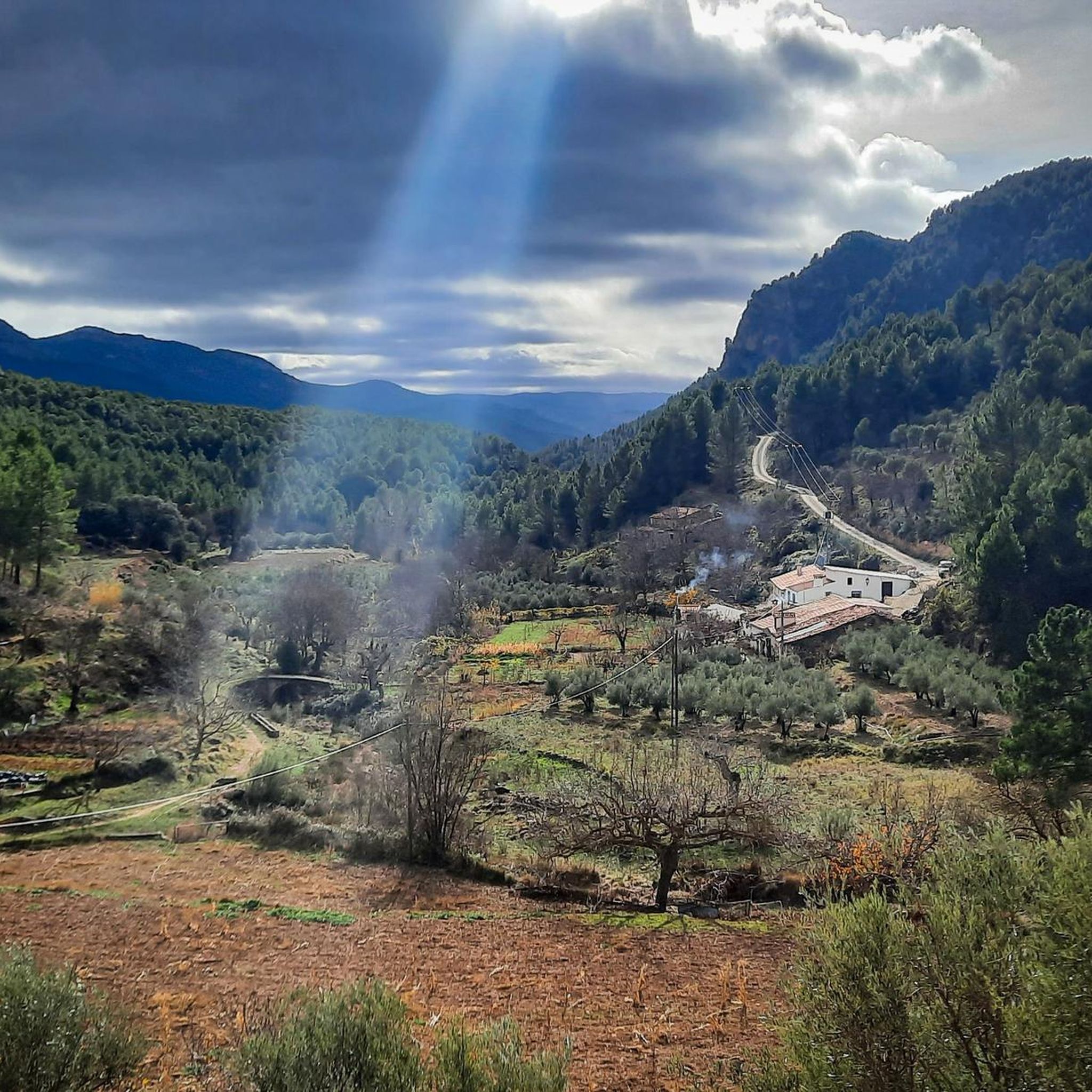
There are passes that are remembered for their toughness and others for the landscape they offer. Las Crucetas belongs to the latter. When you stop your bike and look back, it's inevitable to think that every meter of ascent has been worth it. In that instant, the effort disappears and only the satisfaction of contemplating a mountain range that seems to stretch to infinity remains.
3
0
Did you know that...? The pass is located very close to the Calares del Río Mundo y de la Sima Natural Park, one of the most valuable protected areas in Castilla-La Mancha, famous for the source of the river Mundo and for its spectacular karst formations.
3
0
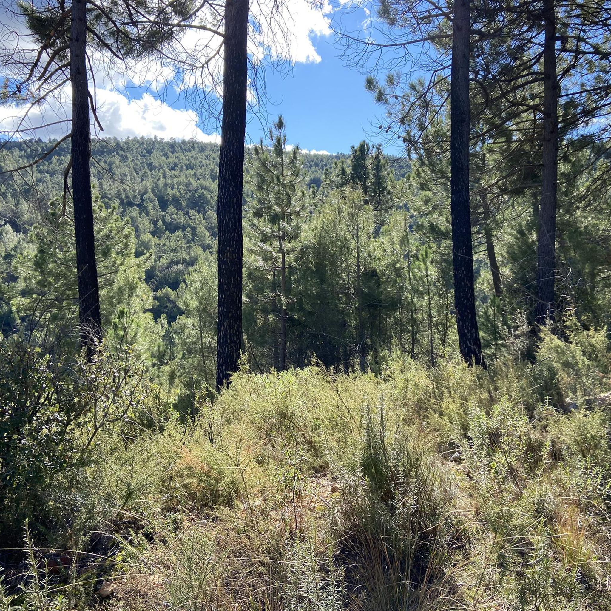
Look out for... The vegetation changes notably as you gain altitude. Aleppo pine predominates, accompanied by kermes oaks, Pyrenean oaks and a undergrowth of rosemary, thyme and lavender. If you do the route in spring, the aroma of Mediterranean plants permeates the entire pass.
3
0
A bit of history: Since ancient times, this pass has served as a communication route between the peoples of the Sierra de Alcaraz and Campo de Montiel. Long before the current roads were laid out, shepherds, merchants, and travelers crossed these mountains following traditional paths that connected Castilla with Andalusia. Today, the road maintains that same role, offering one of the most attractive routes for cyclists and motorcyclists in the province of Albacete.
3
0
El Puerto de las Crucetas, located at an altitude of approximately 1,300 meters, is one of the most important natural passes between the Salobre river valley and the Sierra de Alcaraz. From its summit, the road winds its way through extensive pine forests, offering magnificent panoramic views of a landscape shaped by erosion over millions of years. For the cyclist, reaching this pass means leaving the gentle hills of La Mancha behind to definitively enter the mountains, where the air is cooler, the silence deeper, and nature takes center stage.
3
0

Good place to refuel. Plenty of bars, restaurants and supermarkets
0
0

During the Corpus Christi celebration, the people of Elche decorate their streets, drawing immense carpets made with sawdust of different colors. If you have the opportunity to visit Elche de la Sierra on these dates, you will surely take away a nice memory.
0
0
It is an endearing municipality, very close to Elche de la Sierra. In the north of the town, there is a perfectly preserved medieval laundry. It is a very curious place to visit. There are also several hostels and rural houses, if you want to spend a quiet night in a natural environment.
0
0
Frequently Asked Questions
Is Microrreserva De Peñas Coloradas suitable for road cycling?
Based on available regional information, Microrreserva De Peñas Coloradas is primarily known as a community in Caquetá, Colombia, with a significant history of forced displacement and military occupation. It is not identified as a destination for outdoor activities like road cycling. The area's history and current situation suggest it may not be suitable or safe for recreational cycling.
What is the general terrain like in Microrreserva De Peñas Coloradas for cycling?
Regional research indicates that Microrreserva De Peñas Coloradas is a community situated on the banks of the Caguán River. Information about its terrain focuses on its historical settlement rather than features suitable for road cycling, such as varied elevations or dedicated cycling infrastructure. The area's primary characteristic is its human history and current military presence, not its landscape for sports.
Are there any specific landmarks or natural features to see while cycling in Microrreserva De Peñas Coloradas?
The historical context of Microrreserva De Peñas Coloradas highlights its past as a thriving community with schools and a health center, which later became a 'ghost town' due to conflict. There are no prominent natural features or tourist landmarks identified that would typically attract road cyclists. The focus of the region's narrative is on its humanitarian history.
What are the best times to visit Microrreserva De Peñas Coloradas for road cycling?
Given the historical and current context of Microrreserva De Peñas Coloradas, which includes a history of conflict and military presence, it is not recommended as a destination for recreational road cycling at any time of year. The safety and suitability for such activities are not supported by regional information.
Are there any family-friendly or dog-friendly cycling routes in Microrreserva De Peñas Coloradas?
Microrreserva De Peñas Coloradas is not recognized as a recreational area, and there is no information suggesting the presence of family-friendly or dog-friendly cycling routes. The region's history of conflict and displacement makes it an unsuitable location for such leisure activities.
Where can I find parking or public transport options for cycling in Microrreserva De Peñas Coloradas?
Information regarding parking facilities or public transport specifically for accessing cycling routes in Microrreserva De Peñas Coloradas is not available. The area is not promoted as a tourist or recreational cycling destination, and its infrastructure is not geared towards such activities.
Are there any cafes, pubs, or accommodation options for cyclists in Microrreserva De Peñas Coloradas?
Microrreserva De Peñas Coloradas was once a community with basic facilities, but after mass displacement and military occupation, it became a 'ghost town.' There are no indications of cafes, pubs, or accommodation services catering to cyclists or tourists in the area.
What is the difficulty level of road cycling routes in Microrreserva De Peñas Coloradas?
While komoot may list routes for this region, the actual Microrreserva De Peñas Coloradas is not known for recreational road cycling. Therefore, assessing the difficulty level of cycling routes in this specific location based on typical cycling criteria is not applicable given the regional context.
What do other road cyclists say about their experience in Microrreserva De Peñas Coloradas?
Regional research indicates that Microrreserva De Peñas Coloradas is not a recognized destination for road cycling, and there are no community reviews or testimonials from cyclists regarding their experiences in this specific area. The region's narrative centers on its historical and social context rather than outdoor recreation.
Are there any loop routes available for road cycling in Microrreserva De Peñas Coloradas?
As Microrreserva De Peñas Coloradas is not identified as a road cycling destination, there is no information available about established loop routes or cycling infrastructure. The area's primary characteristics do not align with recreational cycling opportunities.
Where can I learn more about the history of Microrreserva De Peñas Coloradas?
To understand the significant history of Microrreserva De Peñas Coloradas, particularly concerning forced displacement and its impact, you can refer to resources like the Centro Nacional de Memoria Histórica. For more information, you can visit centrodememoriahistorica.gov.co.
Most popular routes in Microrreserva De Peñas Coloradas

Get inspired with the komoot mobile app


Explore more
Browse the best Road cycling routes in other regions.
