The best walks and hikes in Peña De Los Gitanos
3.9
(17)
67
hikers
11
hikes
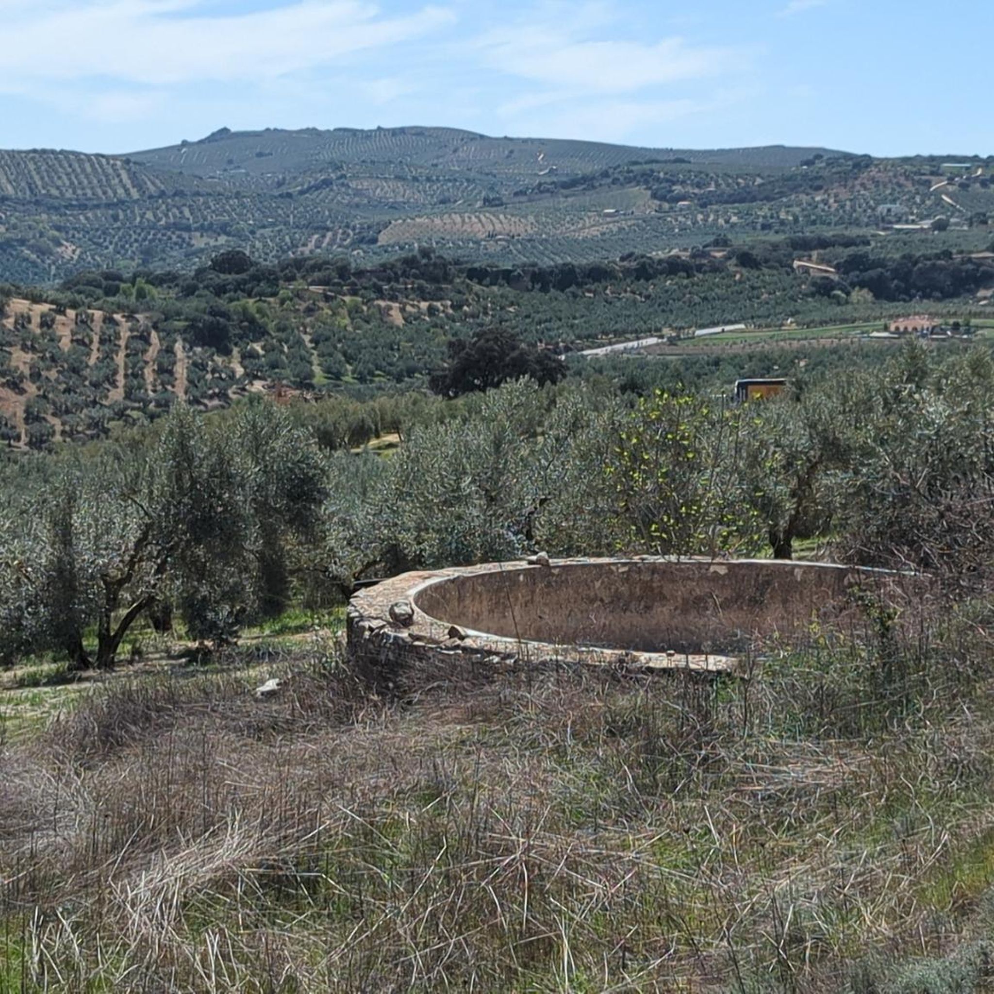
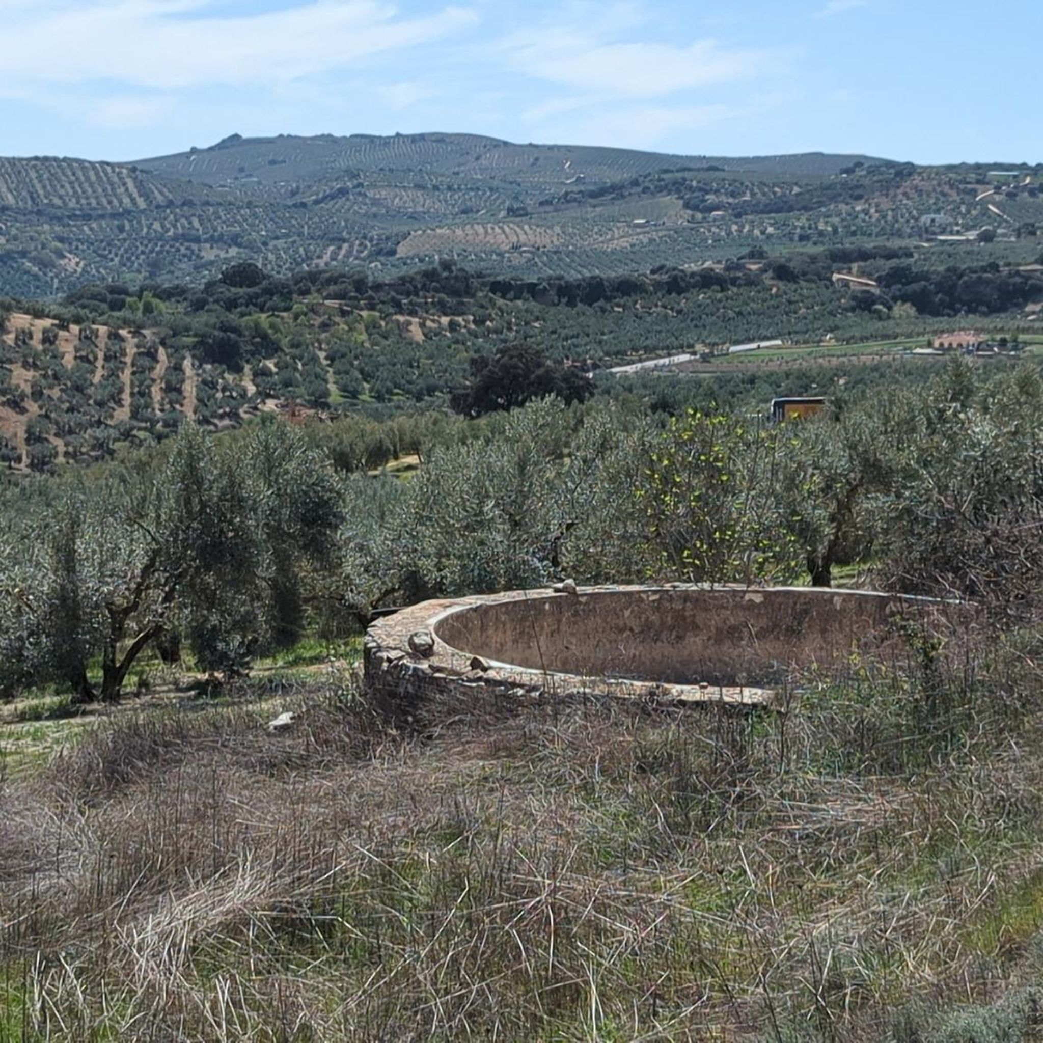
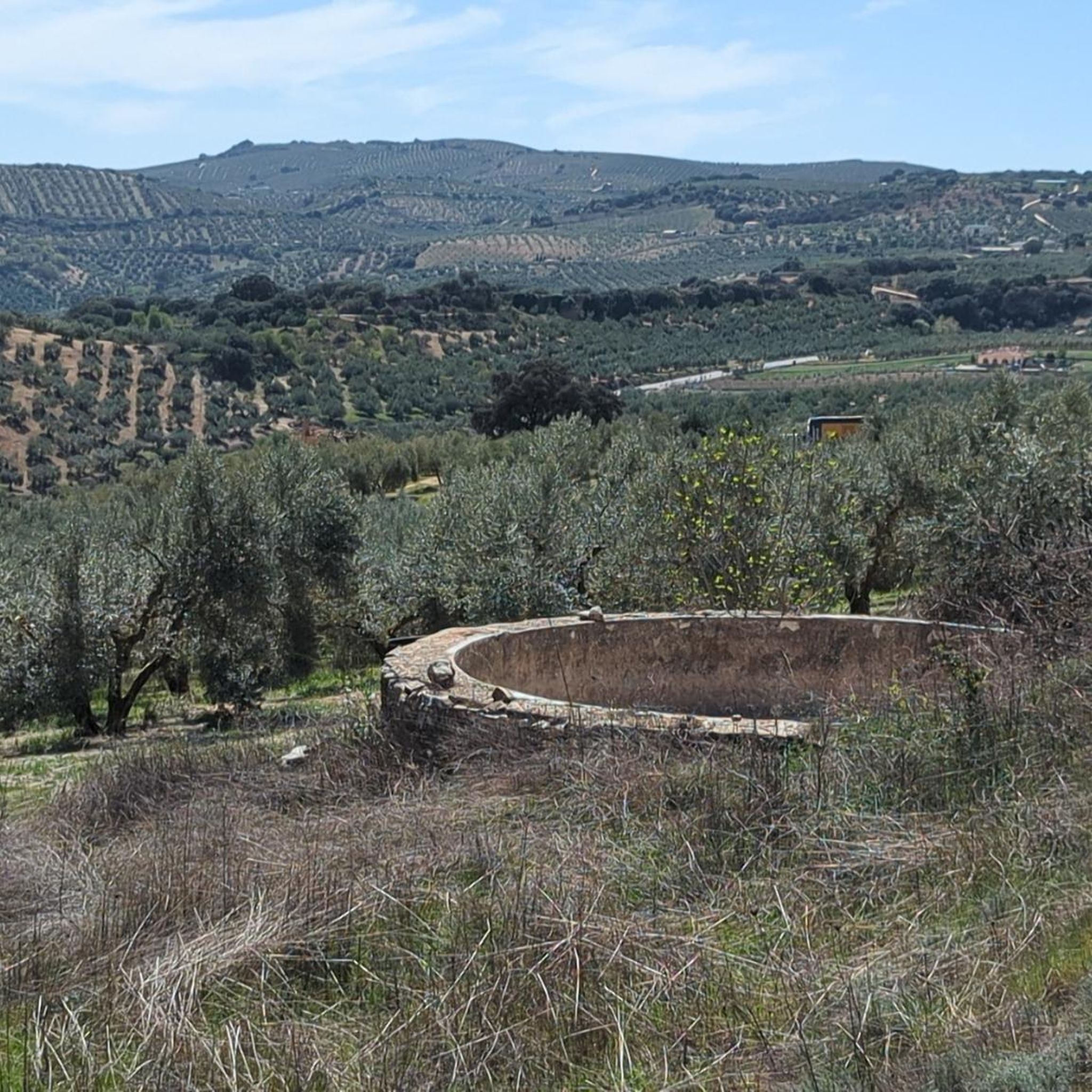
Hiking trails in Peña De Los Gitanos traverse a landscape characterized by dramatic limestone cliffs, terraced plains, and deep ravines. The area features diverse vegetation, including holm oak groves, Mediterranean forest, and green plains. Distinct karstic formations, with numerous caves and shelters, contribute to the varied terrain. This region offers a blend of natural beauty and significant archaeological sites for exploration.
Best hiking trails in Peña De Los Gitanos
- The most popular hiking route is Montefrío Castle – Montefrío Castle loop from Las Navillas m&m, a 10.6 miles (17.1 km) difficult trail that takes 5 hours 15 minutes to complete, offering expansive views of the surrounding countryside.
- Another top favourite among local hikers is Montefrío – Montefrío Castle loop from Molino Hierro, a moderate 7.2 miles (11.6 km) path that winds through varied terrain including holm oak groves and open plains.
- Local hikers also love the Montefrío Castle – Montefrío loop from Montefrío, a 3.7 miles (6.0 km) trail leading through Mediterranean forest, often completed in about 1 hour 48 minutes.
- Hiking in Peña De Los Gitanos is defined by limestone cliffs, holm oak groves, and karstic formations. The network offers options for different ability levels, from easy loops to more challenging climbs.
- The routes in Peña De Los Gitanos are highly rated by the komoot community with an average score of 4.0 stars from over 15 reviews. More than 65 hikers have used komoot to explore Peña De Los Gitanos's varied terrain.
Last updated: May 23, 2026
3.5
(2)
13
hikers
17.1km
05:16
570m
570m
Hard hike. Very good fitness required. Easily-accessible paths. Suitable for all skill levels.
4.5
(2)
3
hikers
11.6km
03:40
450m
450m
Moderate hike. Good fitness required. Easily-accessible paths. Suitable for all skill levels.

Sign up for free
3.0
(3)
15
hikers
14.7km
04:27
490m
490m
Moderate hike. Good fitness required. Easily-accessible paths. Suitable for all skill levels.
3.0
(1)
6
hikers
5.97km
01:48
200m
200m
Easy hike. Great for any fitness level. Easily-accessible paths. Suitable for all skill levels.
2
hikers
7.41km
02:29
300m
310m
Hard hike. Good fitness required. Sure-footedness, sturdy shoes and alpine experience required.
Get access to more routes and recommendations from other explorers.
Sign up for free
Already have an account?
Our route recommendations are based on thousands of hikes, rides, and runs completed by other people on komoot.
Start today with a free account
Your next adventure awaits.
Login or Signup
Popular around Peña De Los Gitanos
Tips from the Community

What is particularly impressive about the church is the dome, which actually represents the entire church.
0
0
The tourist information and the town hall can be found here.
0
0
In 2016, Montefrío received a very special award from National Geographics magazine: it is one of ten places with the best panoramic views in the world. Otherwise, only the Castillo is worth mentioning.
0
0
A tip: you should never go to the Castillo on Monday. Then it's closed 🥲 The 2 euro entrance fee should be worth it. The view is nothing to sneeze at either.
1
0

This is the castle of Montefrio, a good climb from the town awaits you.
0
0
This is the Church of the Incarnation of MonteFrio
0
0

There is a small dirt track next to the road that leads directly to an old bridge, the ruins of the "Molina de los Pelaos" mill and the river. The waterfall is on the left of the bridge.
1
0

The Church of La Encarnación is one of the most prominent monuments in Montefrío, a town located in the region of Loja, in the province of Granada. This baroque-style church was built in the 18th century and stands out for its white stone façade, its spacious interior with three naves and its impressive main altarpiece made of carved and gilded wood. Furthermore, from its location on the hill, it offers spectacular views of the town and its surroundings.
1
0
Frequently Asked Questions
How many hiking trails are available in Peña De Los Gitanos?
Peña De Los Gitanos offers a network of over 10 hiking routes, catering to various preferences and fitness levels. These trails explore the region's unique natural landscapes and significant archaeological sites.
What kind of terrain can I expect on hikes in Peña De Los Gitanos?
The terrain in Peña De Los Gitanos is notably diverse, featuring dramatic limestone cliffs, terraced plains, and deep ravines. You'll hike through holm oak groves, Mediterranean forests, and green plains, often encountering distinct karstic formations, caves, and shelters that add to the area's visual appeal.
Are there any historical or archaeological sites to explore while hiking in Peña De Los Gitanos?
Yes, Peña De Los Gitanos is rich in history. Hikers can discover a significant Megalithic Necropolis with over 100 dolmens, some featuring petroglyphs. There are also Neolithic caves like Cueva Alta and Cueva de las Tontas, Iberian-Roman settlements, and Visigothic tombs, particularly around El Castellón. For more detailed information on the archaeological significance, you can visit Peñas de los Gitanos on Visit A City.
What is the best time of year to go hiking in Peña De Los Gitanos?
The best time for hiking in Peña De Los Gitanos is generally spring and autumn. In autumn, the mastic trees (cornicabras) display vibrant colors, making for particularly scenic walks. The milder temperatures during these seasons are ideal for exploring the varied terrain and historical sites.
Are there any easy or beginner-friendly hiking options in Peña De Los Gitanos?
Yes, there are routes suitable for beginners. For example, the Montefrío Castle – Montefrío loop from Montefrío is an easy 3.7-mile (6.0 km) trail that takes about 1 hour 48 minutes to complete, leading through Mediterranean forest.
Are there any circular hiking routes in Peña De Los Gitanos?
Many of the trails in Peña De Los Gitanos are designed as loops, allowing you to start and end at the same point. An example is the Montefrío – Montefrío Castle loop from Molino Hierro, a moderate 7.2-mile (11.6 km) path.
What do other hikers enjoy most about hiking in Peña De Los Gitanos?
The area is highly rated by the komoot community, with an average score of 4.0 stars from over 15 reviews. Hikers often praise the unique blend of natural beauty, including limestone cliffs and diverse vegetation, with the rich historical and archaeological sites found along the trails.
Are there opportunities to see wildlife while hiking in Peña De Los Gitanos?
The diverse natural environment of Peña De Los Gitanos, with its Mediterranean forest, holm oak groves, and karstic formations, serves as a natural refuge for various species. While specific sightings are never guaranteed, the varied habitats offer opportunities to observe local wildlife.
Is parking available for hikers in Peña De Los Gitanos?
While specific parking areas are not detailed for every trailhead, Montefrío, the nearest town, typically offers parking options. It is advisable to check local signage or information for the most convenient parking spots near your chosen starting point.
Can I reach hiking trails in Peña De Los Gitanos using public transport?
Access to Peña De Los Gitanos primarily relies on personal transportation due to its rural location. Public transport options directly to trailheads may be limited. It's recommended to plan your journey, potentially using Montefrío as a base and arranging local transport if needed.
Are there any challenging hikes with significant elevation gain in the area?
Yes, Peña De Los Gitanos offers more challenging routes. For instance, the Montefrío Castle – Montefrío Castle loop from Las Navillas m&m is a difficult 10.6-mile (17.1 km) trail with over 570 meters of elevation gain, offering expansive views.
What are the notable natural features I might encounter on the trails?
Beyond the archaeological sites, the region is defined by its dramatic limestone cliffs, terraced plains, and ravines. You'll also encounter extensive holm oak groves, Mediterranean forest, and unique karstic formations, including numerous caves and shelters that have been used for millennia.

Get inspired with the komoot mobile app


Explore more
Browse the best Hikes in other regions.
