The best road cycling routes in Western Commons
4.9
(23)
748
riders
33
rides
Road cycling routes in Western Commons, Nova Scotia, offer diverse terrain for cyclists. The region features varied landscapes, including areas near waterways and through forested sections. Cyclists can expect routes that traverse both urban fringes and more natural settings, providing a mix of experiences. The area is characterized by its accessible roads suitable for different cycling abilities.
Best road cycling routes in Western Commons
- The most popular road cycling route is Bike & Bean Coffee Shop loop from Bay Road…
Last updated: August 9, 2026
26
riders
66.9km
02:51
470m
470m
Moderate road ride. Good fitness required. Mostly well-paved surfaces and easy to ride.
14
riders
Moderate road ride. Good fitness required. Mostly well-paved surfaces and easy to ride.

Sign up for free
46
riders
Moderate road ride. Good fitness required. Mostly well-paved surfaces and easy to ride.
5
riders
40.5km
01:42
300m
300m
Moderate road ride. Great for any fitness level. Some segments of this route may be unpaved and difficult to ride.
2
riders
20.2km
00:59
200m
200m
Easy road ride. Great for any fitness level. Mostly well-paved surfaces and easy to ride.
Get access to more routes and recommendations from other explorers.
Sign up for free
Already have an account?
Our route recommendations are based on thousands of hikes, rides, and runs completed by other people on komoot.
Start today with a free account
Your next adventure awaits.
Login or Signup
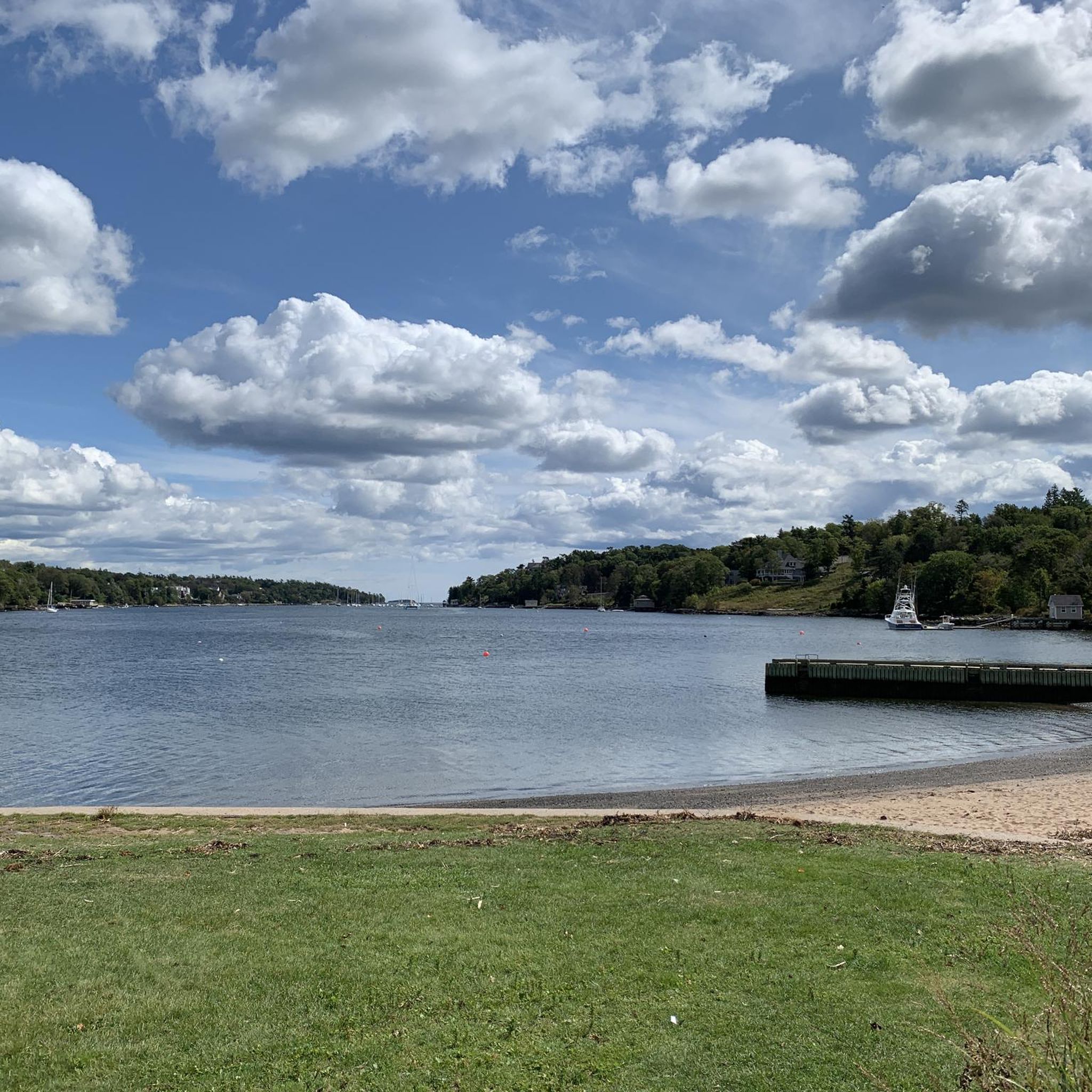



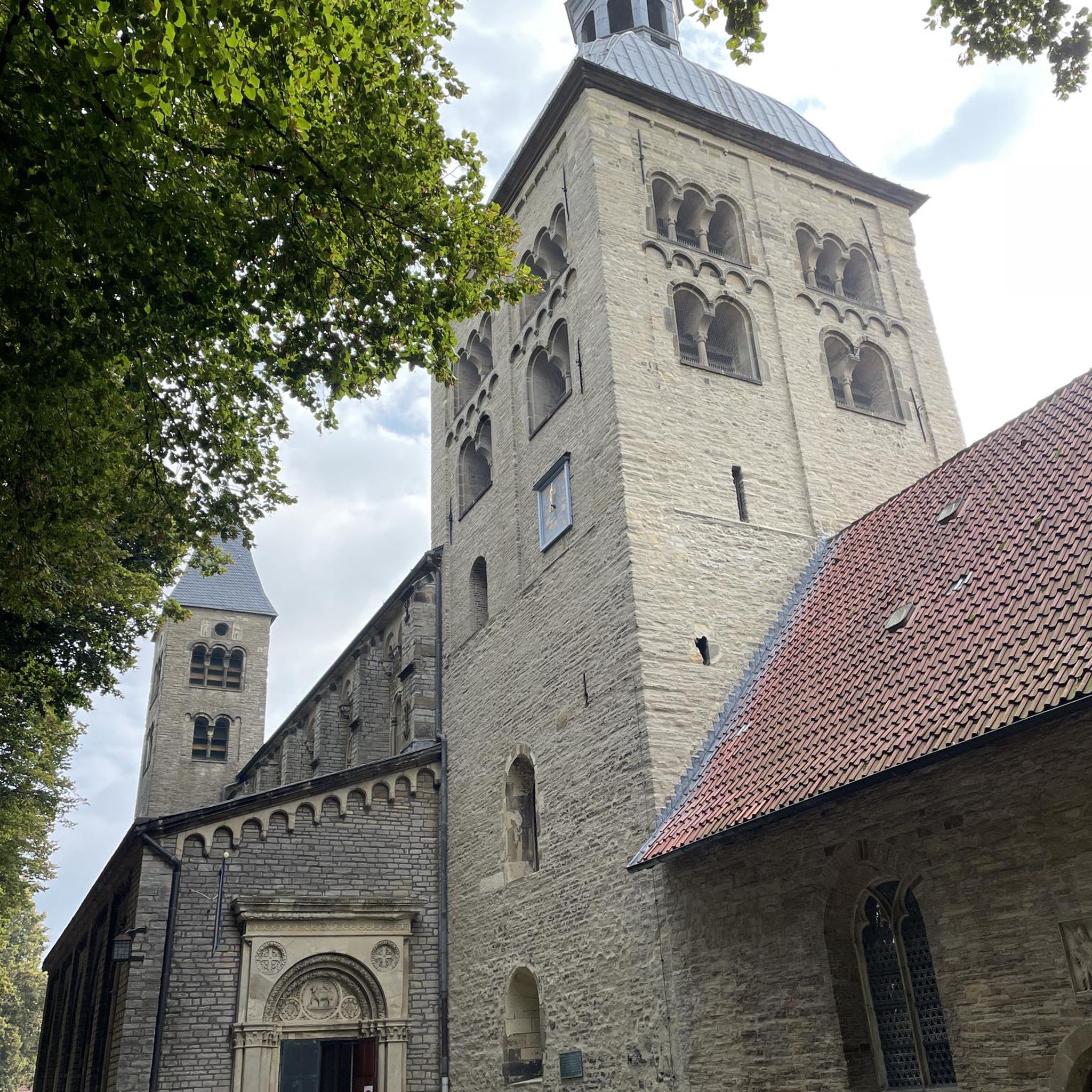
Tips from the Community

The Chain Lakes are a series of small connected lakes that sit alongside the Chain of Lakes Trail in Halifax. They create an open waterfront corridor with several viewpoints directly from the trail, including access to First Chain Lake and Second Chain Lake. The lakes provide consistent water views and serve as natural landmarks along the paved route.
0
0
Chain of Lakes Trail Park refers to the green corridor surrounding the Chain of Lakes Trail in Halifax. The park-like zone includes the paved multi-use trail, seating areas, signage, and shoreline viewpoints linked to the adjacent Chain Lakes. It functions as an accessible recreation area for walking, cycling, and easy routes that connect to the wider regional trail network.
0
0
The Chain of Lakes Trail is a paved multi-use route running through Halifax from Joseph Howe Drive to Lakeside. The trail follows a former rail corridor and is mostly level throughout, with a smooth asphalt surface suitable for walking, running, and cycling. It passes several small lakes along the way and includes benches, lookouts, and clear access points from nearby neighbourhoods and the Bayers Lake area.
0
0

That pic is taken from the corner of the Bike N Bean but it's actually facing another restaurant called Cavvicchi's.
0
0


Lock one of nine. Nova Scotian's take rowing and canoeing seriously at Lake Banook!
0
0

A great spot along the BLT trail for a refreshing drink or bite to eat. Also includes a bike shop for all your bicycle gear or repair needs
1
0

Frequently Asked Questions
How many road cycling routes are available in Western Commons?
Western Commons offers a wide selection of road cycling routes, with over 40 tours available on komoot. These routes cater to various skill levels, from easy rides to more challenging ascents.
Are there road cycling routes suitable for beginners or families in Western Commons?
Yes, Western Commons provides several options for less experienced cyclists or families. There are 11 easy routes designed for a more relaxed pace, often traversing scenic river valleys or urban green spaces. These routes typically feature well-maintained paths and gentler gradients.
What kind of terrain can I expect on road cycling routes in Western Commons?
The region features diverse terrain, including routes near waterways, through forested sections, and a mix of urban fringes and natural settings. You'll find accessible roads suitable for different cycling abilities, from rolling hills to some more challenging ascents, offering varied scenery throughout your ride.
Are there any challenging road cycling routes for experienced riders?
Absolutely. For experienced road cyclists seeking a challenge, Western Commons offers 7 difficult routes. These often include significant elevation gains and longer distances, providing a demanding yet rewarding experience through the region's more rugged landscapes. An example of a moderate route with notable elevation is the Macdonald Bridge – Magnolia Tree in Bloom loop from Mount Olivet Cemetery, which features over 1800 feet of ascent.
What do other cyclists say about road cycling in Western Commons?
The komoot community highly rates road cycling in Western Commons, with an average score of nearly 5 stars from over 30 reviews. Cyclists often praise the varied scenery, the mix of urban and natural environments, and the accessibility of routes for different skill levels. Over 1000 road cyclists have already explored the region using komoot.
Are there circular road cycling routes in Western Commons?
Many of the routes in Western Commons are designed as loops, allowing you to start and end at the same point. For instance, the popular Bike & Bean Coffee Shop loop from Bay Road Apartments is a 41.5-mile circular route, and the Downey Bluff – Hemlock Ravine Park loop from Mount Saint Vincent University offers a 32.6-mile circular experience.
What natural features or attractions can I see along the road cycling routes?
While cycling in Western Commons, you can expect to encounter scenic river views, dense forests, and peaceful wetlands. Many routes pass by significant waterways and through parks, offering a blend of natural beauty and urban green spaces. Some areas also feature historic sites or unique geological formations, depending on the specific route.
Are there any long-distance road cycling routes in Western Commons?
Yes, Western Commons offers several routes suitable for longer rides. For example, the Bike & Bean Coffee Shop loop from Bay Road Apartments covers 41.5 miles (66.9 km), and the Macdonald Bridge – Magnolia Tree in Bloom loop from Mount Olivet Cemetery is nearly 40 miles (64.4 km) long, providing ample distance for endurance cyclists.
What is the best time of year for road cycling in Western Commons?
The best time for road cycling in Western Commons generally aligns with warmer, drier months when road conditions are optimal and foliage is vibrant. Spring and fall offer pleasant temperatures and beautiful scenery, while summer provides longer daylight hours. Winter cycling might be possible on some routes, but conditions can vary significantly.
Are there routes that pass by cafes or viewpoints?
Many routes in Western Commons are designed to offer scenic viewpoints, especially those near waterways or through elevated sections. While specific cafes are not always highlighted, routes often pass through or near communities where you can find amenities. The Bike & Bean Coffee Shop loop, for instance, suggests a coffee shop as part of its name, indicating opportunities for breaks.
How accessible are the road cycling routes in Western Commons by public transport?
Given the mix of urban and natural environments in Western Commons, some routes may be accessible via public transport, particularly those starting or passing through urban fringes. However, accessibility can vary greatly depending on the specific route and local public transit options. It's advisable to check local transport schedules and bike-on-bus/train policies for your chosen starting point.
Is parking available near the road cycling routes?
Parking availability varies by route and starting point. Many routes begin from areas like university campuses (e.g., Mount Saint Vincent University) or cemeteries (e.g., Mount Olivet Cemetery), which may offer parking facilities. For routes in more natural or remote areas, designated parking lots or roadside parking might be available. Always check specific route details for recommended parking locations.
Most popular routes in Western Commons

Get inspired with the komoot mobile app


Explore more
Browse the best Road cycling routes in other regions.
