The best road cycling routes in Heart Lake Conservation Area
5.0
(3)
35
riders
9
rides
Road cycling routes in Heart Lake Conservation Area traverse a landscape characterized by its namesake lake, surrounding forests, and gentle rolling hills. The region offers varied terrain suitable for road cyclists, with paths winding through natural areas and alongside waterways. These routes often feature a mix of open stretches and shaded sections, providing diverse cycling experiences. The area's topography includes minor elevation changes, making it accessible for various skill levels.
Best road cycling routes in Heart Lake Conservation Area
- The…
Last updated: October 8, 2026
5.0
(1)
10
riders
Moderate road ride. Good fitness required. Some segments of this route may be unpaved and difficult to ride.
10
riders
34.8km
01:23
140m
140m
Easy road ride. Great for any fitness level. Mostly well-paved surfaces and easy to ride.

6
riders
52.6km
02:04
180m
180m
Moderate road ride. Good fitness required. Some segments of this route may be unpaved and difficult to ride.
5.0
(2)
6
riders
69.9km
02:50
270m
270m
Moderate road ride. Good fitness required. Mostly well-paved surfaces and easy to ride.
3
riders
46.6km
01:57
300m
300m
Moderate road ride. Good fitness required. Some segments of this route may be unpaved and difficult to ride.
Get access to more routes and recommendations from other explorers.
Already have an account?
Our route recommendations are based on thousands of hikes, rides, and runs completed by other people on komoot.
Start today with a free account
Your next adventure awaits.
Popular around Heart Lake Conservation Area

Tips from the Community

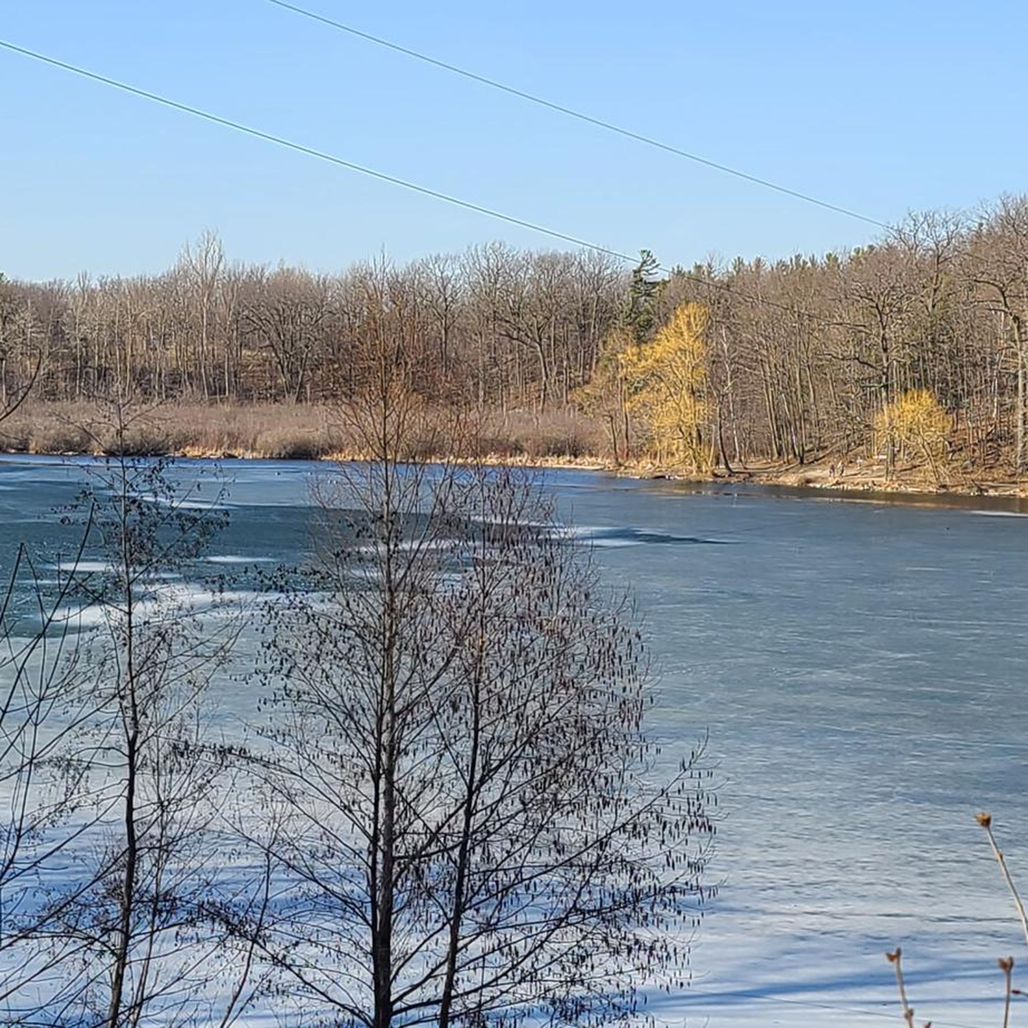
Following a railway corridor first built in 1877, the Caledon Trailway winds through rolling farmland, woodlots, wetlands, and small rural communities across the Caledon countryside. This section between Caledon East and Palgrave is part of both The Great Trail and the Greenbelt Route, with a wide crushed-limestone surface that makes for easy walking. Along the way, you'll pass open views of the Oak Ridges Moraine, quiet forests, beaver ponds, and reminders of the region's railway heritage.
0
0

Fleetwood Park is a small neighbourhood park set along Etobicoke Creek, with open grassy space and direct access to the surrounding trail system. The park feels tucked into the residential area, with mature trees and the creek corridor creating a lovely, peaceful, natural space. From here, paths connect easily to the Etobicoke Creek Trail, making it a simple access point for walking or cycling along the water.
0
0
Etobicoke Creek flows south from the Oak Ridges Moraine to Lake Ontario, forming a natural boundary between Toronto and Mississauga along much of its course. The creek winds through a mix of wooded ravines, parkland, and urban areas, with sections that feel surprisingly quiet despite the surrounding city. Along its lower reaches, slower-moving water, small floodplains, and frequent green spaces make it a defining natural corridor in the western GTA.
0
0
Etobicoke Creek Trail follows Etobicoke Creek for roughly 10 kilometres through a long green corridor on Toronto’s western edge, connecting parks, neighbourhoods, and natural areas along its route. The paved multi-use path is mostly flat and easy, winding between wooded sections, open parkland, and occasional road crossings. Along the way, the creek remains a constant presence, with stretches of quiet water, small bridges, and pockets of wildlife breaking up the urban surroundings.
0
0

Toronto Pearson International Airport is the largest and busiest airport in Canada, located just outside Toronto in Mississauga. It features two main passenger terminals and offers flights to destinations across North America, Europe, Asia, and beyond.
0
0
The Etobicoke Creek Trail is a scenic multi-use pathway that follows the course of Etobicoke Creek. The relatively flat trail winds through parks, wooded areas, and quiet green corridors.
0
0
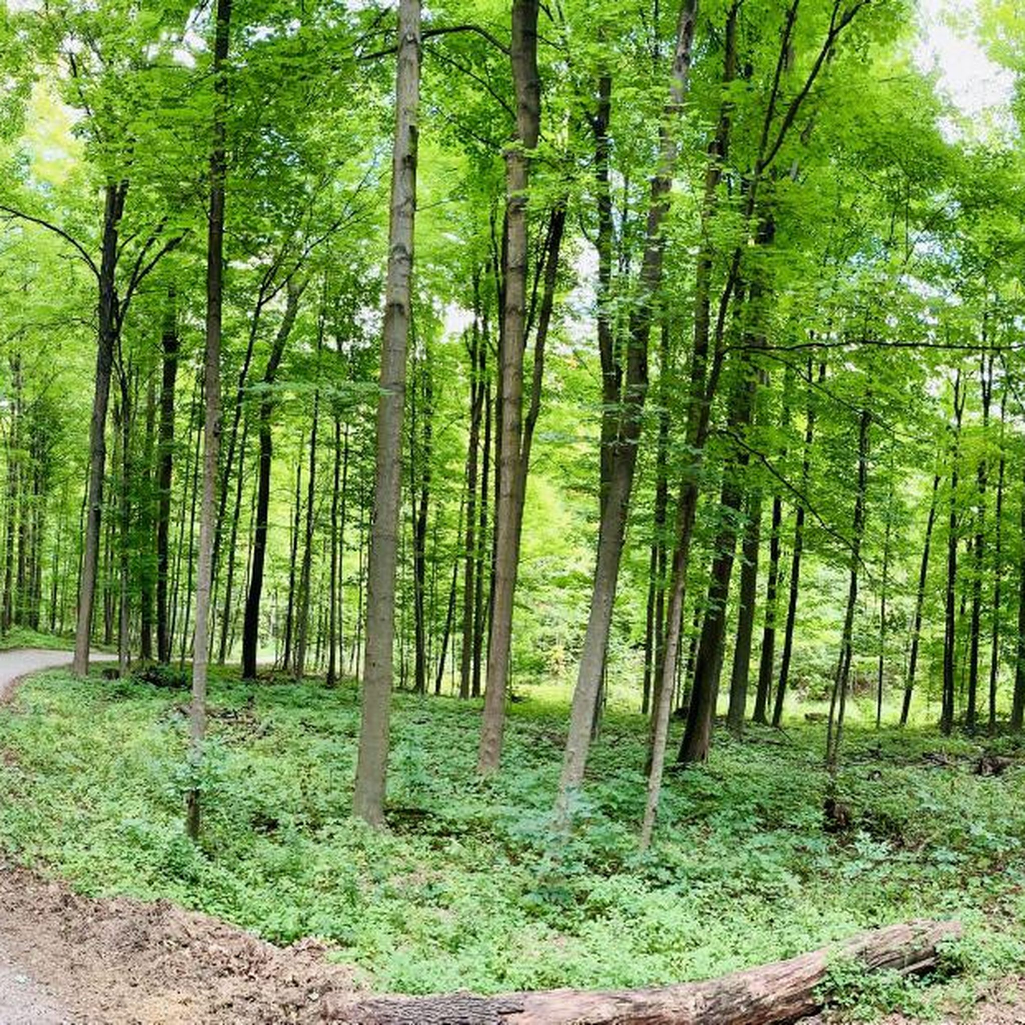
Limehouse Conservation Area is known for its rugged limestone cliffs and narrow crevices that feel almost hidden in the forest. There are old lime kilns tucked into the woods that give the area a bit of history alongside the scenery. It’s a compact conservation area, but the terrain makes it feel adventurous and a little unexpected.
0
0

the trail is closed at the road near the lookout. you will need to lift the bike over the barrier. Centennial park trail is closed for construction. you need to take loose gravel back to trail.
0
0
Frequently Asked Questions
What are the typical difficulty levels for road cycling routes in Heart Lake Conservation Area?
Heart Lake Conservation Area features a variety of road cycling routes, predominantly categorized as easy and moderate. There are currently 4 easy routes and 8 moderate routes available, making it accessible for cyclists of different skill levels. The terrain generally includes gentle rolling hills and minor elevation changes.
Are there any family-friendly road cycling routes in Heart Lake Conservation Area?
Yes, many of the routes in Heart Lake Conservation Area are suitable for families, especially the easy-rated ones. The region's gentle rolling hills and shaded sections provide a pleasant environment for a family outing. Routes like Roadbike loop from Peel are easy and offer a pleasant ride.
What is the best season for road biking in Heart Lake Conservation Area?
The best season for road biking in Heart Lake Conservation Area is typically spring through fall. During these months, the weather is generally mild, and the natural scenery, including the lake and surrounding forests, is at its most vibrant. Always check local weather conditions before heading out.
Are there road cycling routes that form a loop in Heart Lake Conservation Area?
Yes, many of the road cycling routes in the area are designed as loops, allowing you to start and finish at the same point. For example, the popular Roadbike loop from Peel is a 20.1-mile (32.4 km) loop, and Sligo Hill – Loafers Lake Park loop from Heart Lake Secondary School is another excellent loop option.
What kind of trail conditions can I expect on road cycling routes in Heart Lake Conservation Area?
Road cycling routes in Heart Lake Conservation Area generally feature paved surfaces suitable for road bikes. You can expect a mix of open stretches and shaded sections through forested areas. While the routes are well-maintained, it's always advisable to check for any local advisories or recent weather impacts before your ride.
Are there any cafes or places to get refreshments near the road cycling trails?
While the conservation area itself focuses on natural experiences, the routes often pass through or near urban areas like Brampton. You can find various cafes and refreshment stops in these nearby towns, making it convenient to refuel during or after your ride. Planning your route with komoot can help identify such points of interest.
What are some notable viewpoints or scenic spots along the cycling routes?
The road cycling routes in Heart Lake Conservation Area offer scenic views of the namesake lake and wind through forested areas. You can expect picturesque stretches with natural beauty. Routes like The Great Trail Forest View – Limehouse Conservation Area loop from Brampton North—Caledon specifically highlight forest views and conservation land.
What kind of wildlife might I encounter on the road bike paths?
As a conservation area, Heart Lake is home to various wildlife. Cyclists might spot local bird species, small mammals like squirrels and rabbits, and occasionally deer, especially in the quieter, more forested sections of the routes. Always maintain a respectful distance and avoid disturbing animals.
How long are the road biking routes in Heart Lake Conservation Area?
The road biking routes in Heart Lake Conservation Area vary in length. For instance, the Roadbike loop from Peel is about 20.1 miles (32.4 km), while the Highway 401 Underpass Murals – Humber River loop from Brampton Innovation District is a longer option at approximately 46.7 miles (75.1 km). You can find routes suitable for shorter rides or longer excursions.
What do other road cyclists say about the routes in Heart Lake Conservation Area?
The road cycling routes in Heart Lake Conservation Area are highly regarded by the komoot community, holding an average rating of 5.0 stars from 3 reviews. Over 50 road cyclists have explored the area using komoot, often praising the pleasant rides through local areas, forested paths, and views of the lake.
Are there any advanced road cycling routes for experienced riders?
While there are no routes explicitly rated as 'difficult,' experienced riders can challenge themselves on the longer, moderate routes that feature more significant elevation gains. For example, the Highway 401 Underpass Murals – Humber River loop from Brampton Innovation District covers 46.7 miles (75.1 km) with over 1,150 feet (350 meters) of elevation gain, offering a more demanding ride.
Is there parking available for road cyclists at Heart Lake Conservation Area?
Yes, Heart Lake Conservation Area typically provides parking facilities for visitors. Specific parking areas are usually available near trailheads or main entrances. It's recommended to check the official Heart Lake Conservation Area website for the most current information on parking availability and any associated fees.
Can I reach the Heart Lake Conservation Area cycling trails using public transport?
Heart Lake Conservation Area is accessible via public transport, primarily through Brampton Transit services. Routes often connect to areas near the conservation area, from which you might have a short ride or walk to the trailheads. Checking Brampton Transit schedules and routes is advisable for planning your journey.
Most popular routes in Heart Lake Conservation Area

Get inspired with the komoot mobile app


Explore more
Browse the best Road cycling routes in other regions.
