The best cycling routes in Humedal Lacustrino Río Cañas
5.0
(6)
24
riders
10
rides
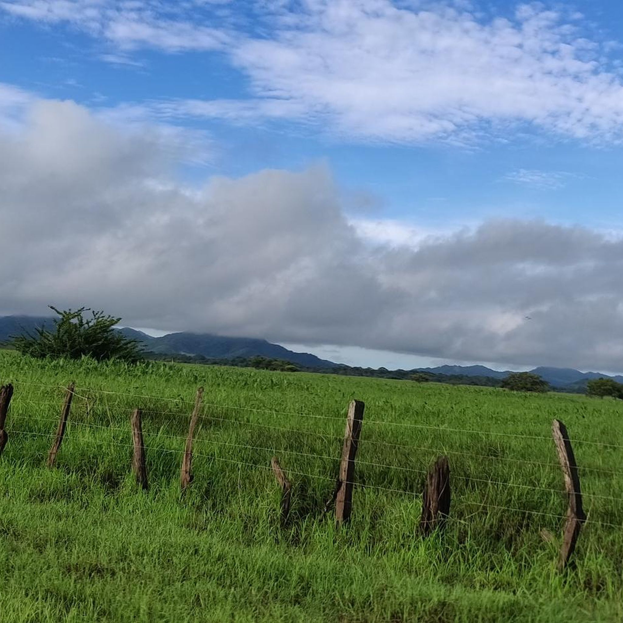
Touring cycling in Humedal Lacustrino Río Cañas offers routes through a significant lacustrine wetland within the Cañas River basin. The region is characterized by flat alluvial plains, tropical dry forest vegetation, and a network of lagoons and floodplains that are part of the Tempisque River basin. These conditions provide manageable routes for touring cyclists, allowing for exploration of the area's natural beauty and diverse ecosystems.
Best touring cycling routes in Humedal Lacustrino Río Cañas
- The most popular touring cycling route…
Last updated: July 1, 2026
4
riders
50.7km
03:30
300m
300m
Moderate bike ride. Good fitness required. Mostly paved surfaces. Suitable for all skill levels.
2
riders
19.2km
01:10
110m
110m
Easy bike ride. Great for any fitness level. Mostly paved surfaces. Suitable for all skill levels.

Sign up for free
5.0
(5)
7
riders
34.8km
02:24
190m
190m
Moderate bike ride. Good fitness required. Mostly paved surfaces. Suitable for all skill levels.
2
riders
25.7km
01:53
150m
150m
Easy bike ride. Great for any fitness level. Mostly paved surfaces. Suitable for all skill levels.
5.0
(1)
4
riders
18.7km
01:18
100m
100m
Easy bike ride. Great for any fitness level. Mostly paved surfaces. Suitable for all skill levels.
Get access to more routes and recommendations from other explorers.
Sign up for free
Already have an account?
Our route recommendations are based on thousands of hikes, rides, and runs completed by other people on komoot.
Start today with a free account
Your next adventure awaits.
Login or Signup
Popular around Humedal Lacustrino Río Cañas
Tips from the Community

Monument to the vaquetero and the fitter In 2000, the Municipality of Santa Cruz, Guanacaste, erected a monument to honor the bravery of the vaquetero and the skill of the rider against the brave bull. All of them expose their lives to demonstrate their mettle.
0
0
River crossing through the forest
0
0
Frequently Asked Questions
How many touring cycling routes are available in Humedal Lacustrino Río Cañas?
There are 10 touring cycling routes available in Humedal Lacustrino Río Cañas. These routes are highly rated by the komoot community, with an average score of 5.0 stars from over 6 reviews.
What are the typical difficulty levels for touring cycling in this region?
The touring cycling routes in Humedal Lacustrino Río Cañas are generally classified as either easy or moderate. There are 5 easy routes and 5 moderate routes, making the area accessible for a range of cycling abilities.
Are there any family-friendly touring cycling routes in Humedal Lacustrino Río Cañas?
Yes, several routes are suitable for families due to their easy difficulty and relatively flat terrain. An excellent option is the River Crossing in the Forest – Santa Cruz Sign loop from Buenos Aires, which is 11.9 miles (19.1 km) long and leads through tropical forest with a river crossing.
What kind of natural features and wildlife can I expect to see while cycling?
Humedal Lacustrino Río Cañas is a significant wetland ecosystem, part of the Tempisque River basin, characterized by lagoons, floodplains, and tropical dry forest vegetation. Cyclists can observe diverse ecosystems and, with luck, spot various aquatic bird species like the anhinga and mangrove black hawk. The area is also home to reptiles and amphibians, and larger mammals like paca have been noted.
Are there any circular touring cycling routes in the area?
Yes, many of the routes are designed as loops, offering a complete touring experience. For example, the Bike loop from Cuatro Esquinas is a moderate 31.5 miles (50.7 km) path that explores the broader wetland periphery with views of the surrounding flat alluvial plains.
What is the best time of year to go touring cycling in Humedal Lacustrino Río Cañas?
The region experiences a tropical dry climate. Generally, the dry season (roughly December to April) offers more predictable weather conditions with less rain, making it ideal for cycling. However, the wet season can bring lush landscapes, though some routes might be muddier.
What should I wear for touring cycling in Humedal Lacustrino Río Cañas?
Given the tropical climate, lightweight, breathable clothing is recommended. Sun protection, including a hat, sunglasses, and sunscreen, is essential. Always bring plenty of water, and consider insect repellent, especially when cycling near wetland areas.
Are there any specific restrictions or permits required for cycling within the Humedal Lacustrino Río Cañas protected area?
While the broader Guanacaste province is suitable for cycling, direct cycling trails within the heart of the protected wetland itself may be limited due to conservation efforts. It's advisable to stick to designated routes and respect any signage regarding access. No specific permits for cycling are mentioned for the general touring routes around the periphery.
Where can I find parking for the touring cycling routes?
Specific parking information for each route is not detailed in the guide. However, for routes like the Virgen Bell Tower Monument – Santa Cruz Sign loop from Panamá, starting points in towns or villages often have public parking options. It's recommended to check local amenities at your chosen starting point.
Are there any cafes or places to stop for refreshments near the cycling routes?
The touring cycling routes often pass through or near local communities. For instance, the Santa Cruz Sign loop from Santa Cruz starts near Santa Cruz, where you can find various local eateries and shops to refuel and refresh.
What makes touring cycling in Humedal Lacustrino Río Cañas unique?
Touring cycling here offers a unique perspective on a vital Costa Rican wetland. The flat alluvial plains provide manageable routes, allowing cyclists to immerse themselves in the region's rich biodiversity and observe its significant birdlife and diverse ecosystems from a distance, all within a tropical dry forest setting.
What is the average length and duration of touring cycling routes in this region?
The routes vary in length and duration. For example, an easy route like the Santa Cruz Sign loop from Esquipulas is about 11.6 miles (18.7 km) and takes approximately 1 hour 18 minutes. Moderate routes can be longer, such as the Bike loop from Cuatro Esquinas, which is 31.5 miles (50.7 km) and takes around 3 hours 30 minutes.
Most popular routes in Humedal Lacustrino Río Cañas

Get inspired with the komoot mobile app


Explore more
Browse the best Cycling routes in other regions.
