The best walks and hikes in Reserva Forestal Cordillera Volcánica Central
4.5
(75)
764
hikers
17
hikes
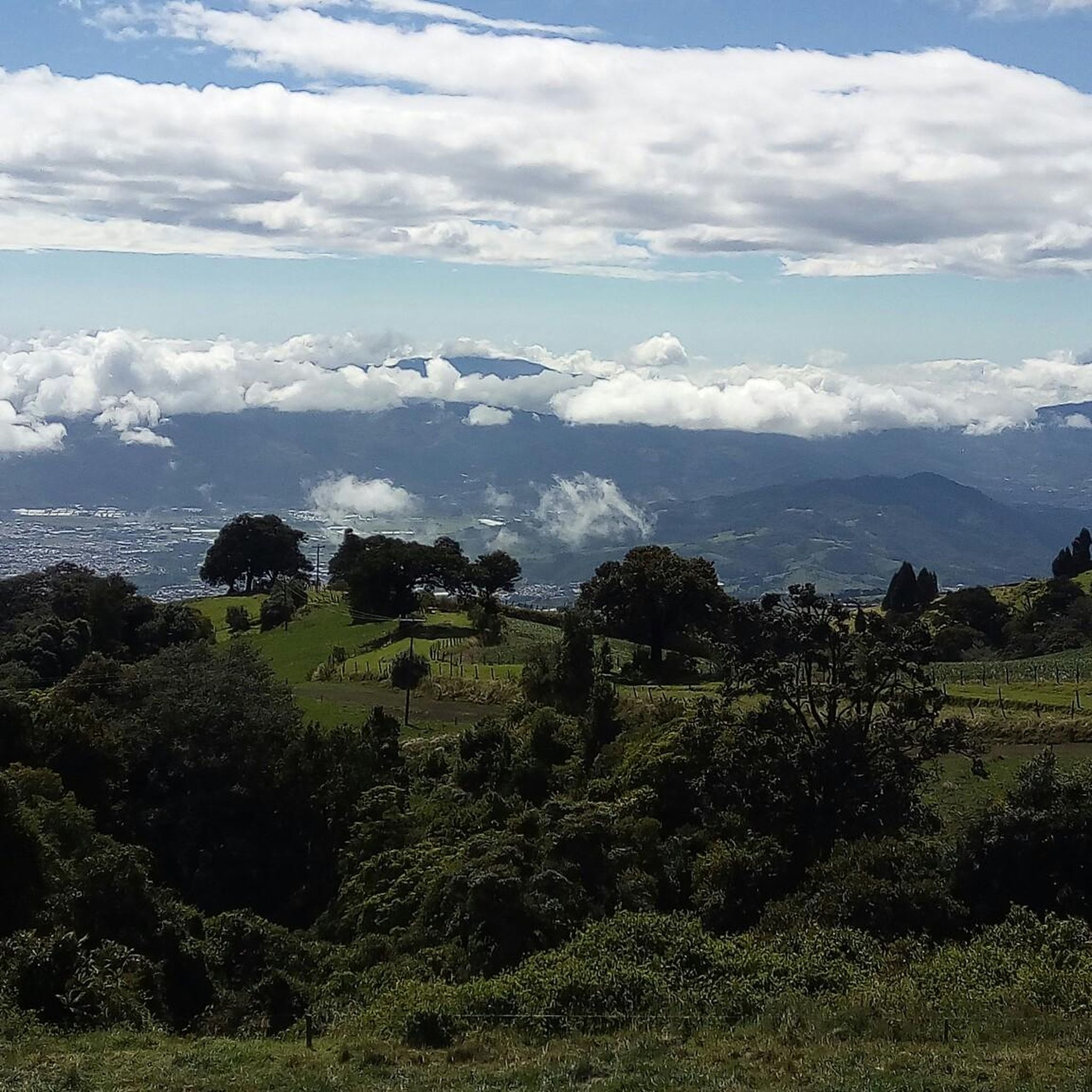
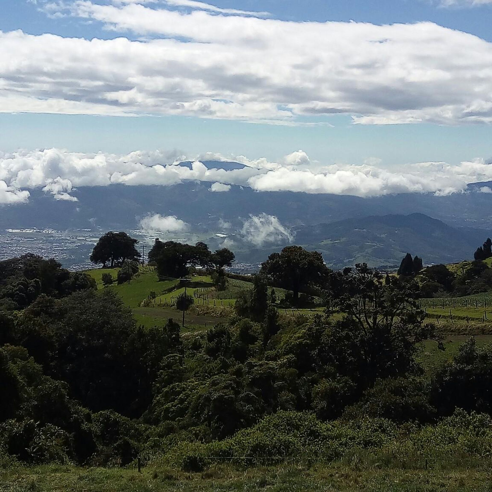
Hiking trails in Reserva Forestal Cordillera Volcánica Central traverse a region characterized by its volcanic origins, diverse ecosystems, and significant hydrological network. This area serves as a crucial biological corridor, connecting national parks and maintaining rich biodiversity across varied altitudinal ranges. Hikers can experience landscapes ranging from high-altitude cloud forests to tropical rainforests, featuring volcanic cones, craters, and numerous streams and waterfalls. The mountainous terrain also offers panoramic views of the Central Valley.
Best hiking trails in Reserva Forestal Cordillera…
Last updated: July 2, 2026
4.8
(5)
68
hikers
6.89km
02:49
570m
570m
Moderate hike. Good fitness required. Easily-accessible paths. Suitable for all skill levels.
4.5
(27)
236
hikers
Easy hike. Great for any fitness level. Easily-accessible paths. Suitable for all skill levels.

Sign up for free
5.0
(5)
124
hikers
17.1km
05:50
780m
780m
Hard hike. Very good fitness required. Mostly accessible paths. Sure-footedness required.
4.9
(8)
78
hikers
6.96km
02:30
320m
320m
Moderate hike. Good fitness required. Mostly accessible paths. Sure-footedness required.
4.0
(1)
6
hikers
2.20km
00:41
80m
80m
Easy hike. Great for any fitness level. Easily-accessible paths. Suitable for all skill levels.
Get access to more routes and recommendations from other explorers.
Sign up for free
Already have an account?
Our route recommendations are based on thousands of hikes, rides, and runs completed by other people on komoot.
Start today with a free account
Your next adventure awaits.
Login or Signup
Popular around Reserva Forestal Cordillera Volcánica Central

Tips from the Community

Small waterfall right by the road. You can go behind the waterfall.
0
0
Spectacular waterfall, the path is challenging.
0
0

Animals that have had accidents or were rescued by people who kept them as pets live here.
0
0

To get here, you can enter Prusia Park and walk along the Cabeza de Vaca Trail, but you'll have to pay a toll to use the access route through Finca Hacienda Retes. Alternatively, you can exit the park through the main entrance and take the first turn on the right onto an asphalt road, also paying a toll. Continue up a steep hill and you'll reach the Cabeza de Vaca Trail again.
0
0
This trail offers spectacular views of Cartago province. Please note that to continue inside the park, you must return along this same trail.
0
0

Here you can buy souvenirs and there is also a small café/bakery
0
0

A very beautiful viewpoint. We used the short circular trail to acclimatize/prepare for Cerro Chirripó, as you're at a very high altitude. Due to the altitude, it can be chilly and windy; we were there in April, and a sweater was sufficient. I can definitely recommend visiting the volcano in the morning. Between 8 and 10 a.m., there are hardly any people there, and the sky is usually still clear at this time. Clouds usually move up the mountain from mid-morning onward. The view is magnificent; however, the turquoise lakes aren't visible during the dry season; they're probably only full during the rainy season. There's a small restaurant that leaves nothing to be desired; all in all, it's fantastic.
0
0
Frequently Asked Questions
What kind of hiking difficulty can I expect in Reserva Forestal Cordillera Volcánica Central?
The Reserva Forestal Cordillera Volcánica Central offers a range of hiking difficulties. You'll find a good mix of trails, with 9 easy routes perfect for a relaxed stroll, 8 moderate trails for those seeking a bit more challenge, and 1 difficult route for experienced hikers looking for a strenuous adventure. The terrain often involves volcanic landscapes and varied elevations.
How many hiking trails are available in Reserva Forestal Cordillera Volcánica Central?
There are 18 hiking trails available in Reserva Forestal Cordillera Volcánica Central. These routes traverse diverse ecosystems, from cloud forests to volcanic landscapes, offering a variety of experiences for hikers.
Are there any easy hikes suitable for beginners in the reserve?
Yes, there are 9 easy hikes in the Reserva Forestal Cordillera Volcánica Central. An example of an accessible route is the Main Crater of Irazú Volcano – View of Irazú Volcano Crater loop from Irazú Volcano National Park, which is 2.7 miles (4.4 km) long and typically takes about 1 hour 19 minutes to complete, offering views of the volcanic landscape.
What natural features or landmarks can I expect to see while hiking?
Hiking in this region offers a chance to see significant natural features. You'll encounter diverse ecosystems, from high-altitude cloud forests to tropical rainforests. The volcanic origins mean dramatic vistas, cones, and craters. The area also boasts an important hydrological network, with numerous streams and waterfalls. On clear days, higher elevations can offer panoramic views of the Central Valley, and even both the Pacific Ocean and Caribbean Sea.
Are there trails that offer panoramic views?
Yes, due to its mountainous terrain, the reserve and its adjacent areas provide breathtaking panoramic views. From higher peaks like Irazú Volcano, on clear days, you can often see the Central Valley and even both the Pacific Ocean and the Caribbean Sea. Trails like the View of Laguna de Colores loop from Vegas de Cajón offer scenic vistas of the Laguna de Colores and the surrounding natural environment.
Can I expect to see waterfalls or significant water features?
Yes, the Reserva Forestal Cordillera Volcánica Central is known for its important hydrological network. This means you can expect to find numerous streams and waterfalls along the hiking trails. These water features are vital to the region's ecosystem and often lead to scenic spots and tranquil natural pools.
Do I need a permit to hike in Reserva Forestal Cordillera Volcánica Central?
While the Reserva Forestal Cordillera Volcánica Central itself is a protected area, specific permit requirements often depend on the national park or specific trail you plan to access within or adjacent to the reserve. It's advisable to check with the respective national park authorities (e.g., Volcán Poás, Volcán Irazú, Braulio Carrillo) for their current entry and permit regulations before your visit.
When is the best time of year to go hiking in this region?
The best time to hike in Reserva Forestal Cordillera Volcánica Central generally aligns with Costa Rica's dry season, which typically runs from December to April. During these months, you'll experience less rain, clearer skies, and more comfortable hiking conditions, making it ideal for enjoying the panoramic views and diverse landscapes.
Are there family-friendly hiking trails in Reserva Forestal Cordillera Volcánica Central?
Yes, with 9 easy routes available, there are several family-friendly options in the reserve. These trails are generally shorter and have less elevation gain, making them suitable for families with children. Always check the specific trail details for distance and elevation to ensure it matches your family's ability.
What kind of wildlife might I encounter?
The reserve's rich biodiversity means you could encounter a wide array of fauna. Hikers might spot monkeys, tapirs, raccoons, sloths, porcupines, coyotes, peccaries, and various bird species. The area is particularly significant for its high concentration of Costa Rica's endemic vertebrate species, offering unique wildlife viewing opportunities.
Can I find circular or loop trails in the reserve?
Yes, loop trails are a common feature in the region, allowing you to experience diverse scenery without retracing your steps. Examples include the Hiking loop from Parque Nacional Volcán Turrialba and the View of Laguna de Colores loop from Vegas de Cajón, both offering distinct natural experiences.
What do other hikers enjoy the most about hiking in Reserva Forestal Cordillera Volcánica Central?
The area is highly rated by the komoot community, with an average score of 4.6 stars from over 60 reviews. Hikers often praise the diverse volcanic landscapes, the lush cloud forests, and the refreshing network of streams and waterfalls. The variety of routes, suitable for different ability levels, is also frequently highlighted.
Most popular routes in Reserva Forestal Cordillera Volcánica Central

Get inspired with the komoot mobile app


Explore more
Browse the best Hikes in other regions.
