The best road cycling routes in Parque Nacional Natural Tayrona
4.5
(24)
308
riders
5
rides
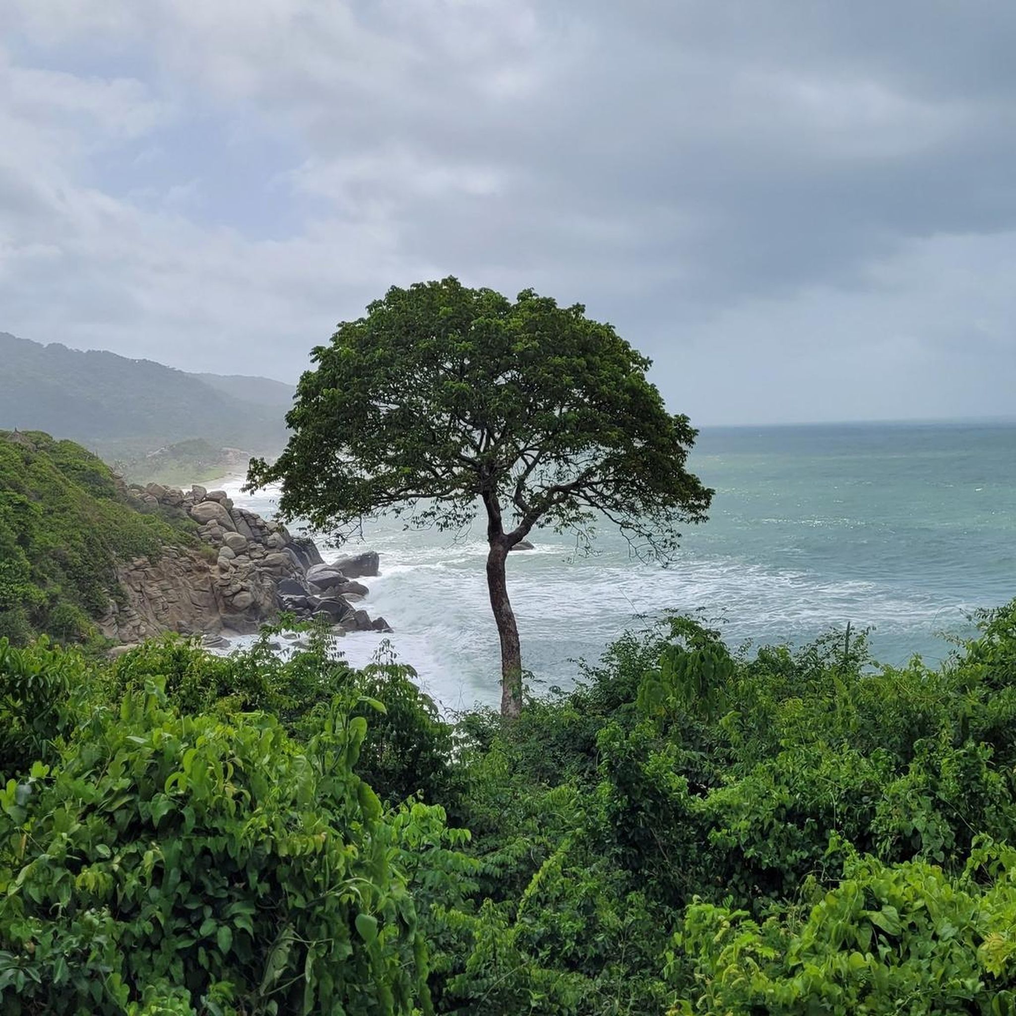
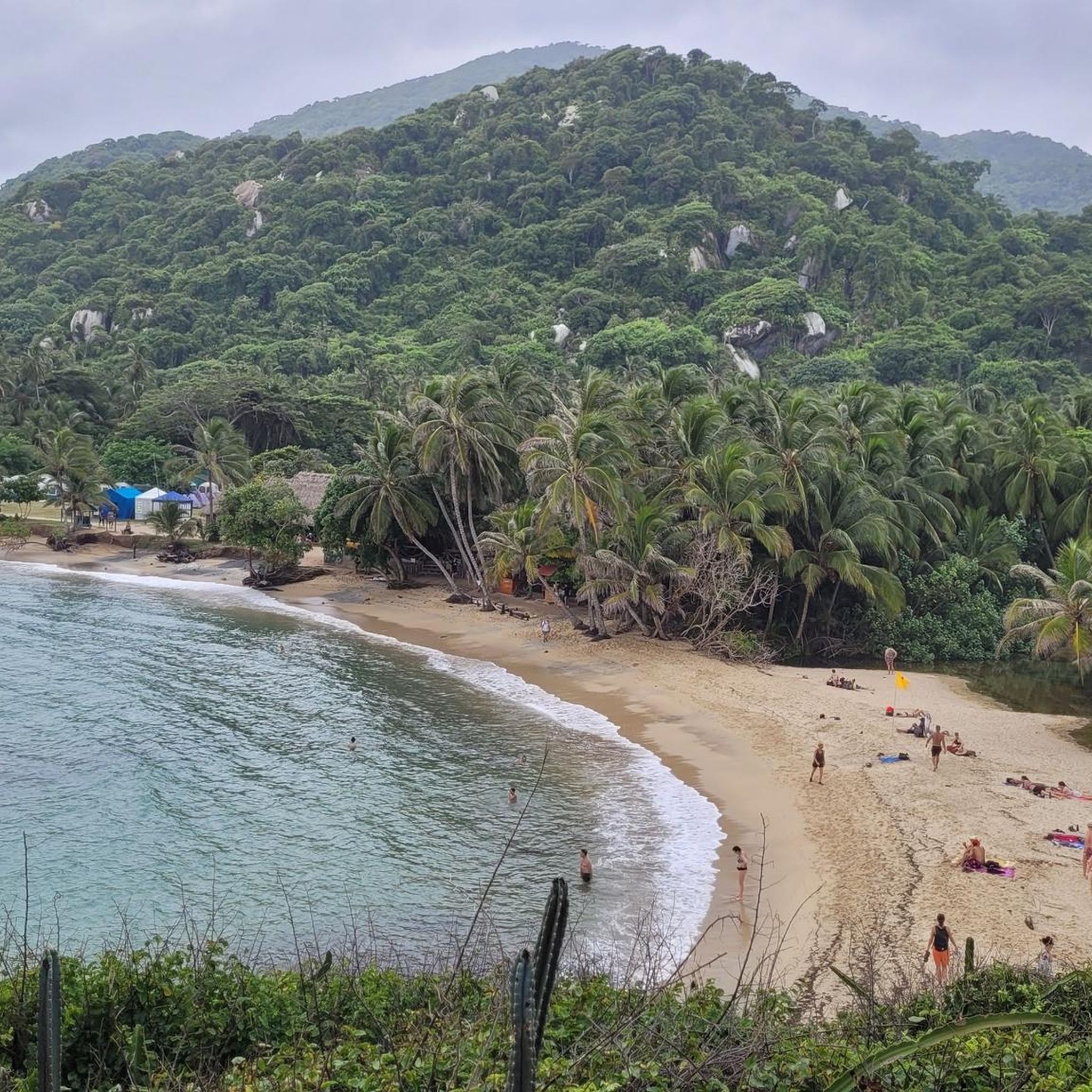
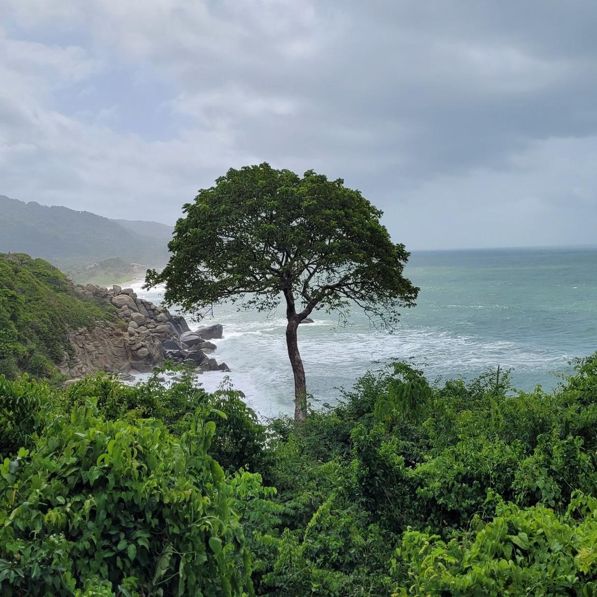
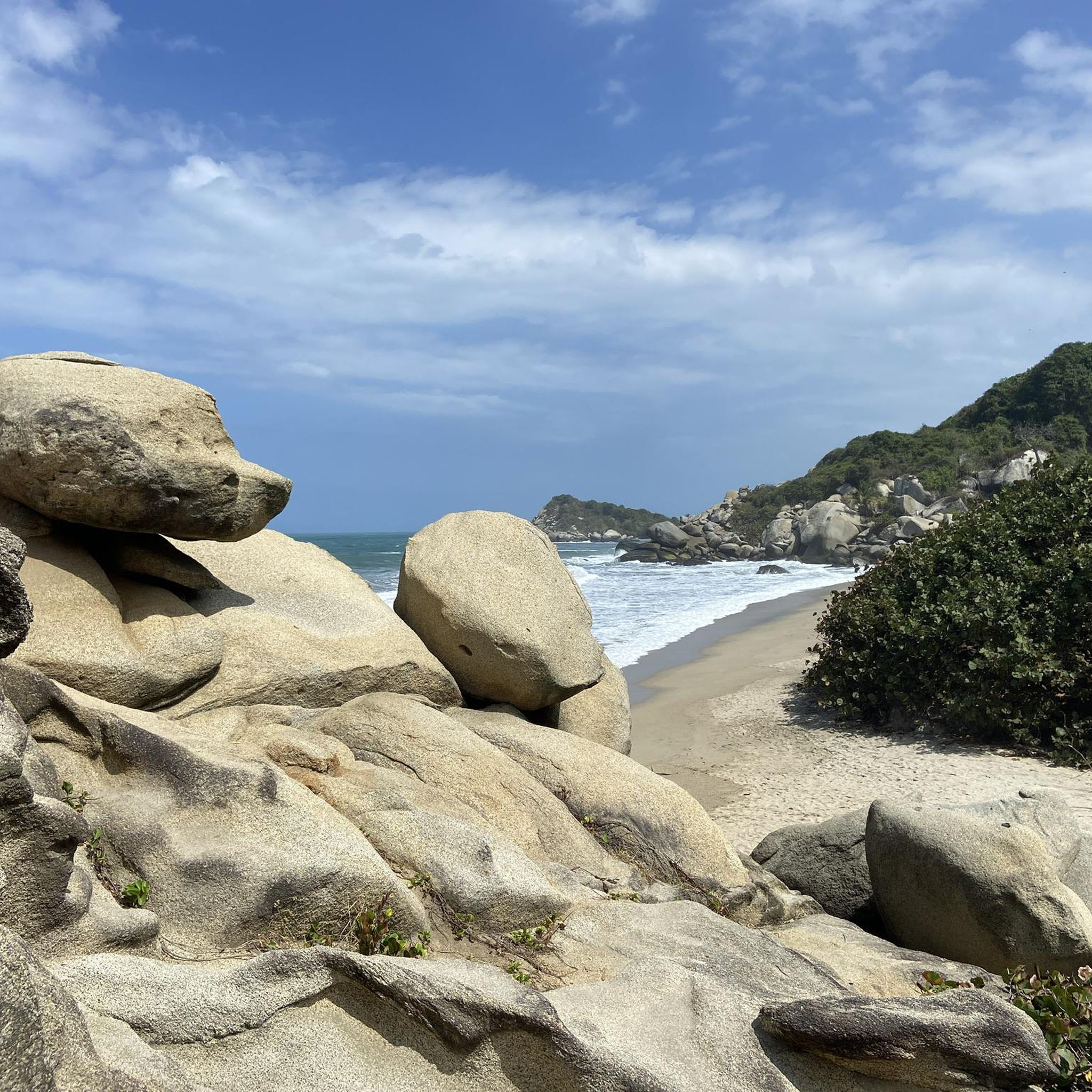
Road cycling in Parque Nacional Natural Tayrona offers diverse terrain where the Sierra Nevada de Santa Marta meets the Caribbean Sea. The region features a rugged coastline with secluded bays and coves, transitioning inland to the foothills of the Sierra Nevada. Cyclists can experience varied elevations, from sea level routes to ascents reaching significant heights, passing through lush rainforests and dry tropical forests. The landscape provides a mix of coastal views and challenging climbs into the mountain range's lower slopes.
…Last updated: July 4, 2026
42
riders
90.0km
04:36
1,480m
1,480m
Hard road ride. Very good fitness required. Mostly well-paved surfaces and easy to ride.
4.0
(1)
31
riders
49.9km
02:26
740m
740m
Moderate road ride. Good fitness required. Mostly well-paved surfaces and easy to ride.

Sign up for free
5.0
(1)
78
riders
85.8km
04:59
1,560m
1,560m
Hard road ride. Very good fitness required. Some segments of this route may be unpaved and difficult to ride.
4.8
(8)
70
riders
68.0km
03:15
840m
840m
Moderate road ride. Good fitness required. Mostly well-paved surfaces and easy to ride.
4.3
(14)
62
riders
32.8km
02:02
690m
690m
Moderate road ride. Good fitness required. Mostly well-paved surfaces and easy to ride.
Our route recommendations are based on thousands of hikes, rides, and runs completed by other people on komoot.
Start today with a free account
Your next adventure awaits.
Login or Signup
Popular around Parque Nacional Natural Tayrona
Tips from the Community

El Campano is a village that sits at an altitude of approximately 1280 meters. It's an ideal starting point for venturing into the lush nature that surrounds you.
0
0

Minca is a small eco-village in the foothills of the Sierra Nevada de Santa Marta, known for its cool climate, rivers and waterfalls like Pozo Azul and Marinka, and trails offering sweeping views of Santa Marta. It's an ideal destination for leisurely hikes through tropical forest, with options to visit coffee and cacao farms. Wear comfortable shoes and bring water, as many trails start from the village and have wet or steep sections.
0
0

A complete tour of the park in 2 nights, 2 days, costs approximately 120,000 COP in entrance fees (park, insurance, trail maintenance) per person. Travel light. Accommodation can be found locally (campsites) or on Booking.com (even small campsites are listed). It's very beautiful, but quite crowded, except for the first section near the entrance to Calabazzo.
0
0


above, on the street, there is a small cafe. There are homemade, fresh pastries (e.g. fresh bread with chocolate from local cocoa farmers), great jugos and self-made jewelry.
1
0
A small hiking trail leads down to the stream. The crystal clear water is refreshing and you can refresh yourself well. To get to the small waterfall you have to cross the stream (the bridge washed it away) and climb a bit.
1
0


climb at your own pace and you will arrive without getting off the bike
0
0
Frequently Asked Questions
How many road cycling routes are available in Parque Nacional Natural Tayrona?
There are 5 dedicated road cycling routes available in Parque Nacional Natural Tayrona, offering diverse experiences for cyclists. These routes range in difficulty from moderate to difficult, with varying distances and elevation gains.
Are there challenging road cycling routes in Tayrona National Park?
Yes, Parque Nacional Natural Tayrona offers several challenging road cycling routes. For instance, the Phase 1 – Minca loop from Zaino is a difficult 90 km route with significant elevation gain into the Sierra Nevada foothills. Another demanding option is the Minca – Hidden Waterfall loop from Quinta de San Pedro Alejandrino, which covers 85.9 km with over 1500 meters of climbing.
Can I find road bike loop trails in Parque Nacional Natural Tayrona?
Yes, several road cycling routes in the area are designed as loops. A popular option is the Roadbike loop from Quinta de San Pedro Alejandrino, which is a moderate 68 km trail. The Roadbike loop from ESCUELA NVA CONCEPCION FERNANDEZ also offers a moderate 49.9 km loop experience.
What natural attractions can I see while road cycling in Parque Nacional Natural Tayrona?
While road cycling, you'll experience the dramatic scenery where the Sierra Nevada de Santa Marta meets the Caribbean Sea. The region is known for its diverse ecosystems, from lush rainforests to coastal paths. Although direct access to some pristine beaches like Cabo San Juan del Guía or Playa Cristal might require leaving your bike and walking, you can enjoy stunning coastal views and the rich biodiversity of the tropical forests. Keep an eye out for viewpoints like the View of the beach of Tayrona National Natural Park.
Is it possible to spot wildlife while road cycling in Parque Nacional Natural Tayrona?
Yes, the diverse ecosystems of Parque Nacional Natural Tayrona are home to abundant wildlife. While cycling through the tropical forests and along coastal areas, you might encounter various bird species, including keel-billed toucans and military macaws, as well as mammals like howler monkeys. The park is a haven for over 300 species of birds and 105 species of mammals, offering great opportunities for wildlife observation.
What is the best time of year for road cycling in Parque Nacional Natural Tayrona?
The region generally experiences a dry season from December to April, which is often considered the best time for outdoor activities like road cycling due to more stable weather conditions and less rainfall. The wet season typically runs from May to November, with higher humidity and increased chances of rain, which could affect road conditions, especially on unpaved sections or in higher elevations.
Are there any specific regulations or permits required for road cycling in Tayrona National Park?
Tayrona National Park has specific regulations to protect its natural environment. While general access to the park requires an entrance fee, it's advisable to check the official park website or local authorities for any specific permits or restrictions regarding bicycles, especially if you plan to cycle within the core protected areas or on trails not explicitly designated for cycling. Some internal trails may not be suitable for bikes.
What do other cyclists say about road cycling in Parque Nacional Natural Tayrona?
The road cycling routes in Parque Nacional Natural Tayrona are highly rated by the komoot community, with an average score of 4.5 stars from over 24 reviews. Cyclists often praise the region's stunning coastal and mountain scenery, the varied terrain that offers both challenging climbs and scenic descents, and the opportunity to experience the unique biodiversity of the area.
Are there family-friendly road cycling options in Parque Nacional Natural Tayrona?
While the guide data primarily highlights moderate to difficult routes with significant elevation, the region around Tayrona National Park does offer options for various skill levels. For families, it's recommended to look for shorter, flatter sections or routes with minimal elevation gain, possibly closer to Santa Marta, as some internal park trails can be challenging. Always check the route profile for distance and elevation before heading out with children.
Where can I find parking for road biking near Parque Nacional Natural Tayrona?
For road cycling routes that often start from Santa Marta or its vicinity, you can typically find parking in urban areas or designated parking lots. When planning to cycle directly into the park or near its entrances, look for official parking facilities at the main access points like El Zaino or Calabazo. It's always best to verify current parking availability and fees before your visit.
How can I reach Parque Nacional Natural Tayrona by public transport with my bike?
Public transport options to the Tayrona region from Santa Marta often include buses or colectivos (shared taxis). While these are common for passenger transport, carrying a road bike might require specific arrangements or a larger vehicle. It's advisable to inquire with local transport providers in Santa Marta beforehand about their policies regarding bicycles to ensure a smooth journey.
Most popular routes in Parque Nacional Natural Tayrona
Most popular attractions in Parque Nacional Natural Tayrona

Get inspired with the komoot mobile app


Explore more
Browse the best Road cycling routes in other regions.
