The best cycling routes in Δρυμός Λευκών Ορέων
5.0
(3)
72
riders
3
rides
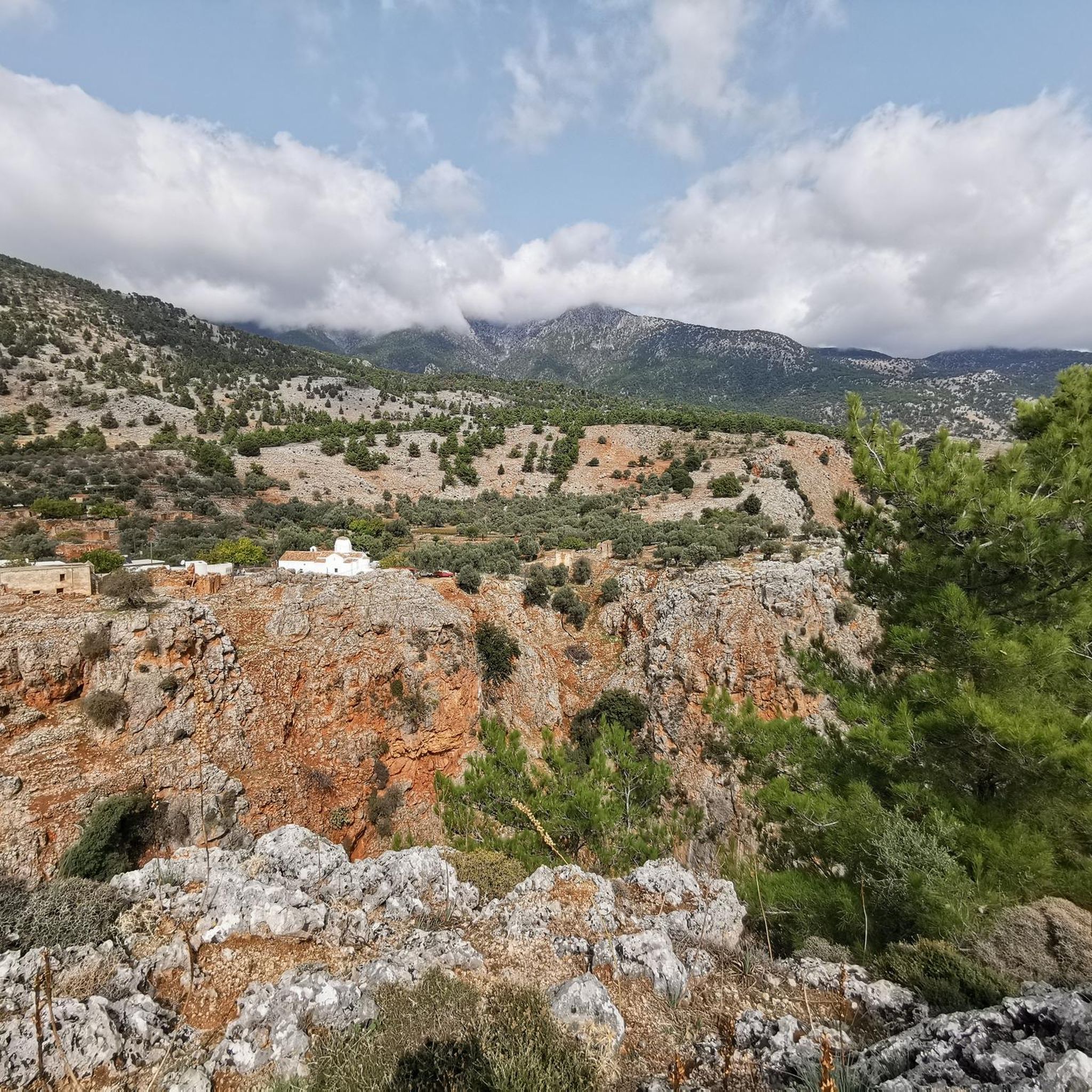
Touring cycling in Δρυμός Λευκών Ορέων, also known as the White Mountains Forest, features routes through rugged mountainous terrain and deep gorges. The region is characterized by significant elevation changes, offering challenging climbs and descents. While specific forest types are varied, the landscape often includes rocky outcrops and sparse vegetation typical of high-altitude Mediterranean environments.
Best touring cycling routes in Δρυμός Λευκών Ορέων
- The most popular touring cycling route is Taverna Nikos – Aradena Gorge (closed) loop from Hora Sfakion…
Last updated: August 13, 2026
12
riders
30.7km
02:20
770m
760m
Hard bike ride. Very good fitness required. Mostly paved surfaces. Suitable for all skill levels.
5.0
(1)
1
riders
26.2km
02:04
740m
750m
Hard bike ride. Very good fitness required. Mostly paved surfaces. Suitable for all skill levels.

Sign up for free
5.0
(2)
58
riders
93.9km
06:42
1,860m
1,860m
Hard bike ride. Very good fitness required. Mostly paved surfaces. Suitable for all skill levels.
Our route recommendations are based on thousands of hikes, rides, and runs completed by other people on komoot.
Start today with a free account
Your next adventure awaits.
Login or Signup
Other adventures in Δρυμός Λευκών Ορέων

Tips from the Community

nice place to linger
1
0
beautiful gorge from the sea to Aradena
0
0

The Bridge In 1986, a steel girder bridge was built across the narrow passage. The bridge was a donation from a man named Vardinogiannis, originally from Agios Ioannis, who had emigrated to the USA and wanted to provide his home village with a drivable connection to Anopoli and thus also to the rest of Crete's road network via Chora Sfakion. The roadway of the steel structure consists of unpaved wooden planks.
2
0
A paved mule track (Greek: καλντερίμι Kalderimi) leads down into the gorge just north of its narrowest point. Until 1986, this was the only way to cross the gorge. The track connected the village of Anopoli, located a few kilometers east of the gorge, with the village of Aradena, situated directly on the western slope of the gorge, and with Agios Ioannis a little further west. Except after heavy rainfall, the Aradena Gorge is accessible year-round. The crossing is challenging, but mountaineering skills are not required.[2] The ascent from the sea to Aradena takes about three hours.
2
0
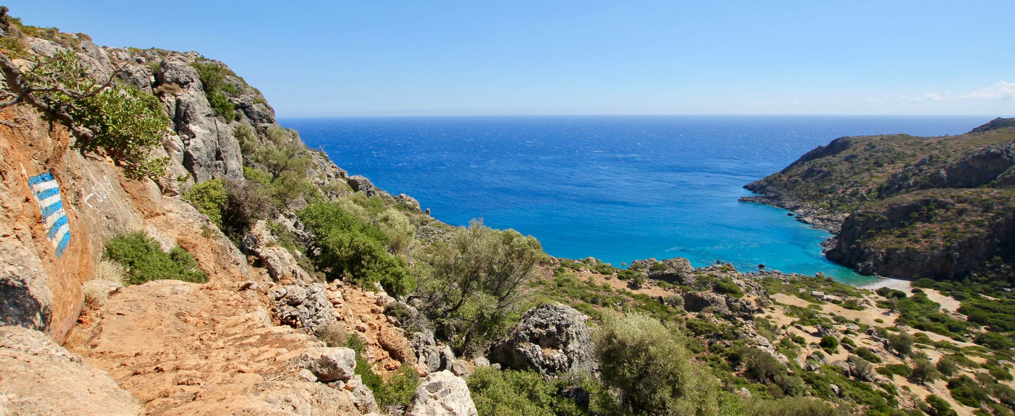
The mouth of the gorge to the Libyan Sea is located a few kilometers west of Loutro at the so-called Marmara Beach.[1] From there, the gorge winds northwards towards the Lefka Ori (the "White Mountains") and reaches its narrowest point below the village of Aradena (Greek: Αράδαινα). The rock walls there rise almost vertically 138 meters high, with a gorge width of only about 8 meters at the bottom and about 25 meters at the top.
2
0
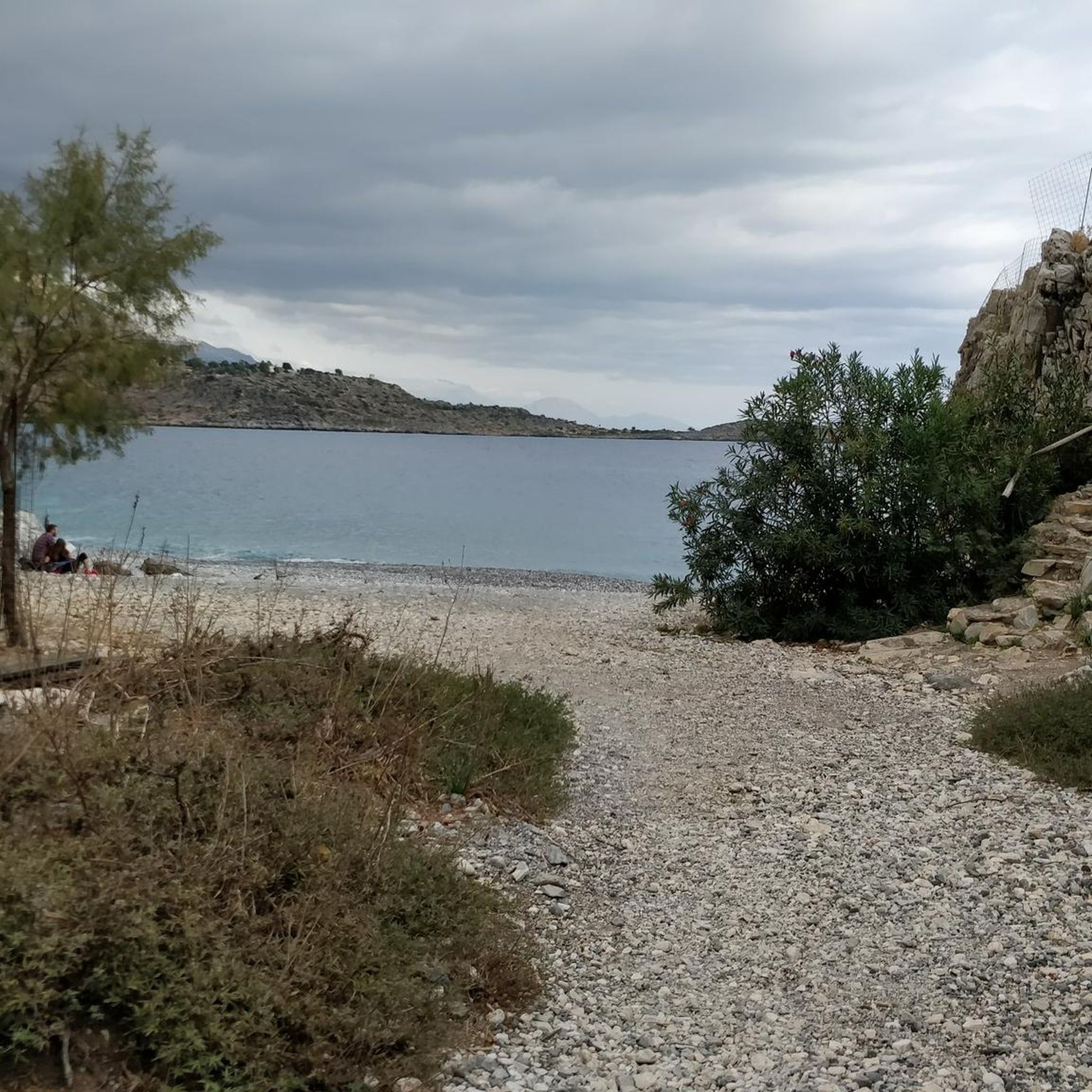
Chora Sfakion lies in southern western Crete on the Libyan Sea, one kilometer west of the mouth of the Sfakiano Gorge. The town's "center," with tavernas, a few hotels, and shops, is located directly on the old harbor, while the other parts of the town are situated on the foothills of the Lefka Ori, the "White Mountains," which slope down to near the sea.
1
0
Since Finikas is located in the south of the island, the area is significantly influenced by the Sirkos wind, although northwest winds prevail for most of the year. Winter temperatures are moderated by frequent warm and humid air masses from the southwest. The south coast enjoys nearly 3,000 hours of sunshine per year, about 10% more than northern Crete. The climate of the Finikas municipality is also divided by the Kouroupa and Kryoneritis mountain ranges. North of the mountains, it is often cloudier, cooler, and less windy than on the coast.
1
0
The area south of the Kouroupa mountain range, bordering the sea, is characterized by its own distinct microclimate, primarily defined by the frequent and intensified occurrence of the northerly wind known as Voreas (Βόρεας). Its location between Crete's two highest mountain ranges, the Psiloritis massif and the Lefka Ori, at a narrow point on the island, combined with the two deep gorges of Kotsifou and Kourtaliotiko, amplifies the northerly wind typical of the Aegean summers. This can lead to pleasant cooling during the hot summer months, but also to weeks of strong, gusty winds that can hinder many outdoor activities. While a wind force of, for example, 4 Beaufort might be forecast for Heraklion or Chania, 6 or higher is to be expected in Finikas.
1
1
Frequently Asked Questions
Are there any easy touring cycling routes in Δρυμός Λευκών Ορέων suitable for beginners?
Touring cycling in Δρυμός Λευκών Ορέων is characterized by rugged mountainous terrain and significant elevation changes. All routes currently listed are rated as difficult, making them more suitable for experienced cyclists seeking a challenge rather than beginners.
What kind of challenge can advanced touring cyclists expect in Δρυμός Λευκών Ορέων?
Advanced touring cyclists will find routes with sustained climbs and descents through dramatic gorge landscapes and mountainous terrain. For example, the Therissos Climb – Somata Climb loop from Theriso features significant elevation gains over its 16.3 miles (26.2 km).
Are there touring cycling routes that are circular in Δρυμός Λευκών Ορέων?
Yes, many of the touring cycling routes in Δρυμός Λευκών Ορέων are designed as loops. For instance, the Taverna Nikos – Aradena Gorge (closed) loop from Hora Sfakion offers a circular journey through impressive gorge scenery.
How long do touring cycling routes typically take in Δρυμός Λευκών Ορέων?
The duration of touring cycling routes varies depending on the distance and elevation. Routes can range from approximately 2 hours for shorter, intense climbs to over 6 hours for longer journeys that combine coastal views with mountain roads, such as the Agios Apostolos Beach – Scenic Mountain Road loop from ΣΤΑΛΟΣ 1 (CRETA DREAM).
What is the best season for touring cycling in Δρυμός Λευκών Ορέων?
The best seasons for touring cycling in Δρυμός Λευκών Ορέων are typically spring (April to June) and autumn (September to October). During these months, temperatures are milder, and the weather is generally more stable, making the challenging climbs and descents more enjoyable. Summer can be very hot, and winter may bring snow to higher elevations.
Is touring cycling possible during winter in Δρυμός Λευκών Ορέων?
While lower elevations might be cyclable, the mountainous nature of Δρυμός Λευκών Ορέων means that many routes, especially those at higher altitudes or through deep gorges, can be affected by snow, ice, or adverse weather conditions during winter. It's advisable to check local weather forecasts and road conditions before planning a winter ride.
What natural attractions can I see along touring cycling routes in Δρυμός Λευκών Ορέων?
The region is famous for its dramatic natural beauty. Along the routes, you can encounter spectacular gorges like the Aradena Gorge and the renowned Samaria Gorge, with its impressive Iron Gates (Sideroportes). Some routes also offer views of the coast and natural monuments like Marmara Beach.
Are there viewpoints on the touring cycling routes in Δρυμός Λευκών Ορέων?
Given the mountainous terrain and deep gorges, many touring cycling routes in Δρυμός Λευκών Ορέων naturally offer breathtaking panoramic viewpoints. Cyclists can expect stunning vistas of the White Mountains, the rugged landscape, and often glimpses of the coastline, especially on routes that traverse both mountain and coastal areas.
What do other touring cyclists enjoy most about touring cycling in Δρυμός Λευκών Ορέων?
The area is highly rated by the komoot community, with an average score of 5.0 stars. Reviewers often praise the challenging mountain climbs, the dramatic scenery of the deep gorges, and the rewarding coastal views. The unique combination of rugged nature and diverse landscapes makes for a memorable cycling experience.
Is parking available near the touring cycling routes in Δρυμός Λευκών Ορέων?
Parking availability can vary depending on the starting point of the route. For routes originating from towns or villages like Hora Sfakion or Theriso, there are usually designated parking areas. For more remote starting points, roadside parking might be an option, but it's always recommended to check local regulations and ensure safe and legal parking.
Can I find cafes or places to rest along the touring cycling routes?
While the region is rugged and can feel remote, many villages and towns that serve as starting or passing points for routes, such as Hora Sfakion or Theriso, offer cafes and tavernas where cyclists can rest and refuel. It's advisable to carry sufficient water and snacks, especially on longer stretches between settlements.
Most popular routes in Δρυμός Λευκών Ορέων
Most popular attractions in Δρυμός Λευκών Ορέων

Get inspired with the komoot mobile app


Explore more
Browse the best Cycling routes in other regions.
