The best road cycling routes in Riserva Naturale Integrale Monte Conca
4.8
(18)
214
riders
13
rides
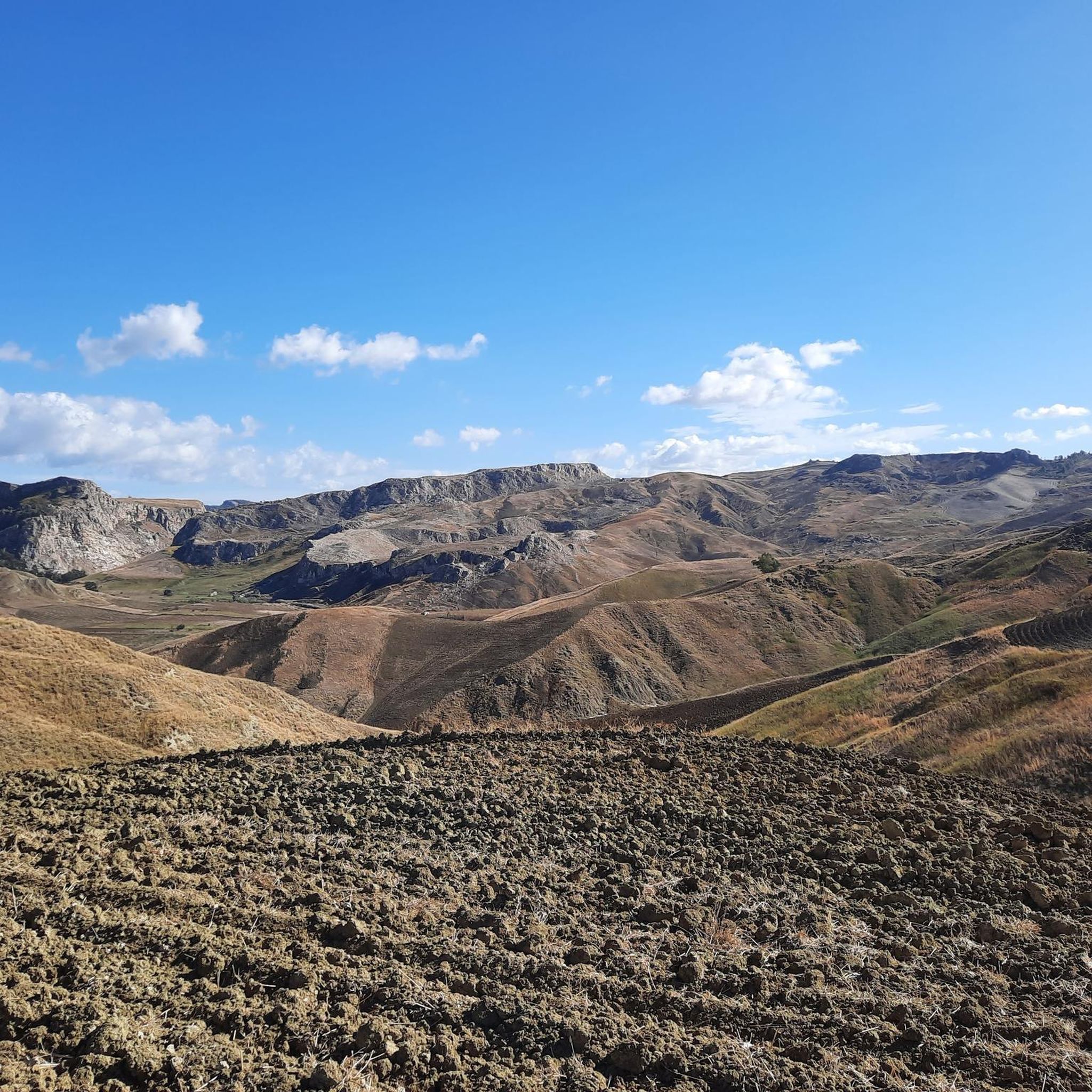
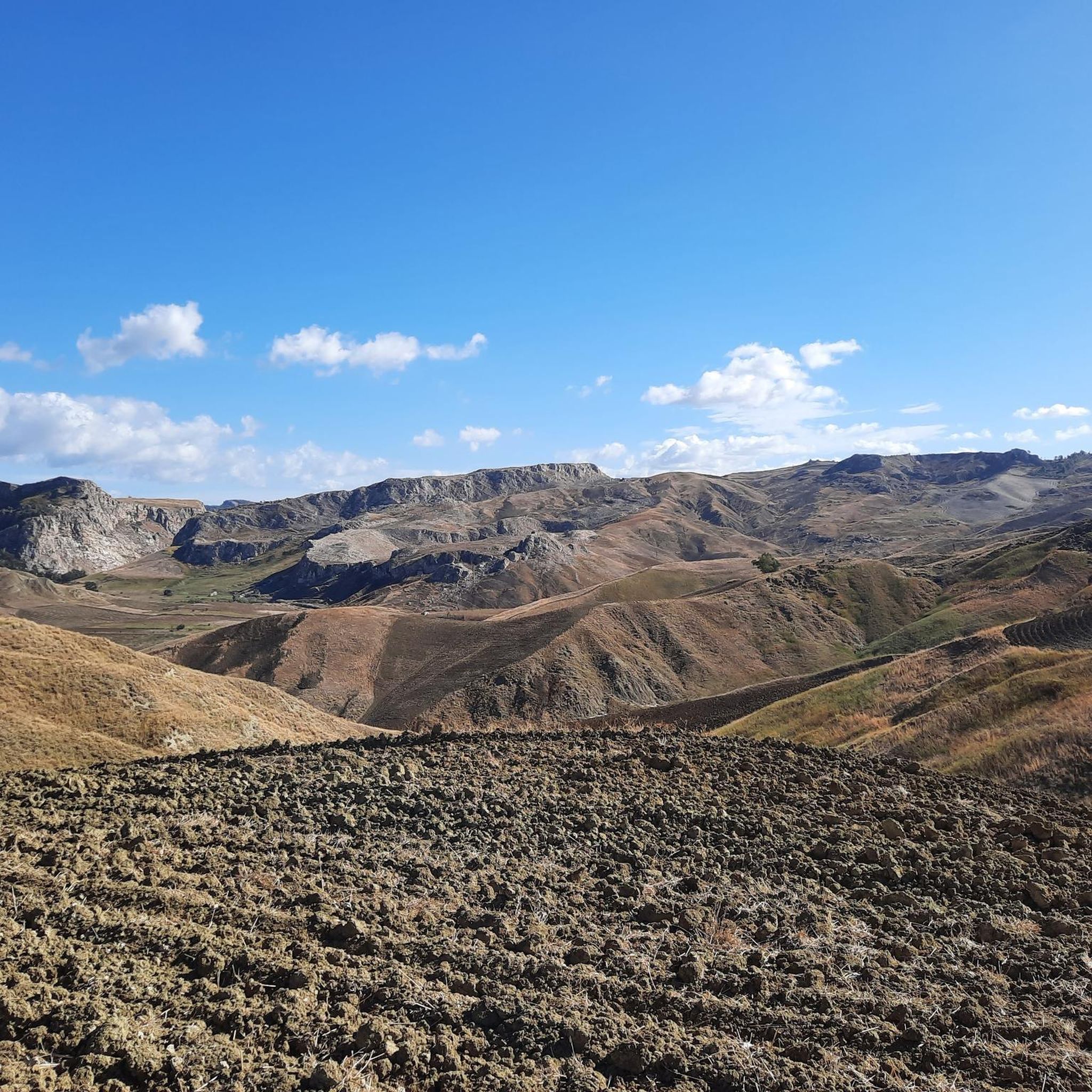
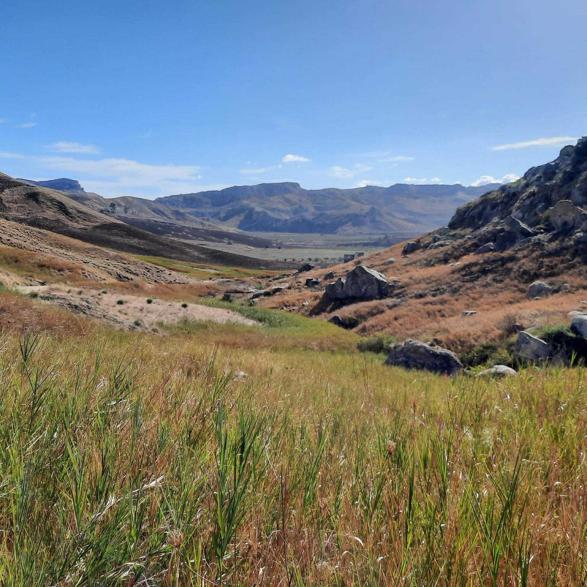
Road cycling routes in Riserva Naturale Integrale Monte Conca traverse a landscape shaped by Messinian selenitic gypsum rocks, creating a distinctive karstic topography. The terrain features rugged gypsum hills such as Monte Conca, Rocche di Tullio, and Cozzo Don Michele, interspersed with clay-marl slopes. The Gallo d'Oro river flows through the reserve, forming riparian zones that contrast with the drier, rocky surroundings. This geological and hydrological diversity provides varied gradients and scenic backdrops for road cyclists.
Best road cycling routes…
Last updated: August 29, 2026
7
riders
39.6km
02:17
910m
910m
Hard road ride. Very good fitness required. Some segments of this route may be unpaved and difficult to ride.
5
riders
43.3km
02:08
670m
670m
Moderate road ride. Good fitness required. Some segments of this route may be unpaved and difficult to ride.

Sign up for free
3
riders
69.5km
03:30
1,110m
1,110m
Hard road ride. Very good fitness required. Some segments of this route may be unpaved and difficult to ride.
7
riders
59.8km
03:22
1,270m
1,270m
Hard road ride. Very good fitness required. Mostly well-paved surfaces and easy to ride.
18
riders
82.1km
03:50
1,000m
1,000m
Hard road ride. Very good fitness required. Some segments of this route may be unpaved and difficult to ride.
Get access to more routes and recommendations from other explorers.
Sign up for free
Already have an account?
Our route recommendations are based on thousands of hikes, rides, and runs completed by other people on komoot.
Start today with a free account
Your next adventure awaits.
Login or Signup
Popular around Riserva Naturale Integrale Monte Conca
Tips from the Community

First Refuge - Mount Cammarata
0
0


Racalmuto was a bit unimpressive for me personally. Good for a short stop, but not really worth a longer stay.
0
0
We recommend the Tavernetta da Rosario
0
0
Cammarata and San Giovanni Gemini have grown together over the course of history. The part of Cammarata is older and more worth seeing. Cammarata also has a train station down in the valley. About an hour's walk. Cammarata belongs to the province of Agrigento.
0
0

The mother church of Canicattì
0
1

Cammarata is a city in the Sicilian hinterland, located in the province of Palermo. Its strategic position close to the Sicani park makes it a very convenient destination for exploring the area. There are many treks that depart from or cross there, of which the most important is perhaps the Magna Via Francigena.
1
0
San Giovanni Gemini is a municipality with sixteenth-century origins. Its Renaissance elements are very well preserved. San Giovanni Gemini is also known for its triumphal chariot dedicated to Jesus of Nazareth, which is used on the occasion of this festival, and which is the largest in Sicily.
2
0
Frequently Asked Questions
How many road cycling routes are available in Riserva Naturale Integrale Monte Conca?
Riserva Naturale Integrale Monte Conca offers a selection of 10 road cycling routes. These routes vary in length and elevation, providing options for different cycling preferences.
What kind of terrain can I expect when road cycling in Riserva Naturale Integrale Monte Conca?
The terrain is characterized by unique karstic landscapes, shaped by ancient gypsum rocks. You'll encounter rugged gypsum hills like Monte Conca, Rocche di Tullio, and Cozzo Don Michele, interspersed with clay-marl slopes. The Gallo d'Oro river also creates riparian zones, offering a dynamic mix of ascents, descents, and flatter sections.
What are the typical difficulty levels for road cycling routes here?
Most road cycling routes in Riserva Naturale Integrale Monte Conca are considered challenging, with 8 out of 10 routes rated as 'difficult'. There are also 2 routes of 'moderate' difficulty. Cyclists should be prepared for significant elevation gains.
Are there any circular road cycling routes in Riserva Naturale Integrale Monte Conca?
Yes, many of the routes are designed as loops, allowing you to start and end in the same general area. Examples include the Milena – Sutera loop, the Scenic Valley Road – Mussomeli Castle loop, and the View of Serradifalco loop.
What natural features or landmarks can I see along the road cycling routes?
You can expect to see striking gypsum reliefs such as Monte Conca, Rocche di Tullio, and Cozzo Don Michele. The Gallo d'Oro river creates scenic riparian zones, and the landscape features unique karstic formations like sinkholes. Some routes, like the Scenic Valley Road – Mussomeli Castle loop, also offer views of historical landmarks such as Mussomeli Castle.
Are there specific viewpoints offering scenic panoramas?
Yes, the varied terrain and gypsum hills naturally provide numerous scenic viewpoints. The View of Serradifalco loop is specifically known for leading through varied terrain with panoramic vistas.
Is there parking available for road cyclists in Riserva Naturale Integrale Monte Conca?
While specific designated cycling parking areas are not detailed, access points to the reserve and nearby towns typically offer parking facilities. It's advisable to check local parking options in towns like Campofranco or Milena when planning your route.
Can I access the road cycling routes using public transport?
Public transport options directly into the heart of the reserve may be limited. Access is generally easier by car to reach starting points in nearby villages or towns. For detailed public transport information, it's best to consult local Sicilian transport schedules.
Are there any permits required for cycling in the reserve?
Generally, no specific permits are required for road cycling on public roads within Riserva Naturale Integrale Monte Conca. However, as the reserve is managed by the Club Alpino Italiano (CAI) Sicilia, it's always good practice to respect local regulations and signage, especially if venturing onto trails that might intersect with cycling routes.
What is the best time of year for road cycling in Riserva Naturale Integrale Monte Conca?
Spring (March to May) and autumn (September to November) are generally the most pleasant seasons for road cycling. Spring brings vibrant wild orchids and milder temperatures, while autumn offers comfortable conditions. Summers can be very hot, and winters can be cooler and wetter.
Are there family-friendly road cycling options?
Given that most routes are rated 'difficult' with significant elevation gains, Riserva Naturale Integrale Monte Conca is more suited for experienced road cyclists. While there are 'moderate' routes, truly beginner or young family-friendly options might be limited due to the challenging terrain.
What do other road cyclists enjoy the most about road cycling in Riserva Naturale Integrale Monte Conca?
The area is highly rated by the komoot community, with an average score of 4.8 stars from over 10 reviews. Cyclists often praise the unique karstic landscapes, the challenging ascents, and the diverse scenery that combines rugged gypsum formations with lush river valleys.
Most popular routes in Riserva Naturale Integrale Monte Conca

Get inspired with the komoot mobile app


Explore more
Browse the best Road cycling routes in other regions.
