Riserva Naturale Regionale Orientata "Bosco Delle Pianelle"
Riserva Naturale Regionale Orientata "Bosco Delle Pianelle"
The best road cycling routes in Riserva Naturale Regionale Orientata "Bosco Delle Pianelle"
4.5
(47)
2,168
riders
60
rides
Road cycling in Riserva Naturale Regionale Orientata "Bosco Delle Pianelle" offers routes through varied landscapes, including historic towns and coastal stretches. The region features a mix of rolling terrain and agricultural areas, with some routes extending towards the Adriatic coast. Road cyclists can expect to encounter a blend of cultural landmarks and natural scenery. The area provides diverse options for exploring by road bike.
Best road cycling routes in Riserva Naturale Regionale Orientata "Bosco Delle Pianelle"
- The most popular road…
Last updated: September 1, 2026
33
riders
72.7km
03:36
790m
790m
Moderate road ride. Good fitness required. Mostly well-paved surfaces and easy to ride.
18
riders
Moderate road ride. Good fitness required. Mostly well-paved surfaces and easy to ride.

Sign up for free
5
riders
50.1km
02:18
540m
540m
Moderate road ride. Good fitness required. Mostly well-paved surfaces and easy to ride.
5.0
(1)
8
riders
31.5km
01:22
160m
160m
Easy road ride. Great for any fitness level. Mostly well-paved surfaces and easy to ride.
6
riders
Hard road ride. Very good fitness required. Mostly well-paved surfaces and easy to ride.
Get access to more routes and recommendations from other explorers.
Sign up for free
Already have an account?
Our route recommendations are based on thousands of hikes, rides, and runs completed by other people on komoot.
Start today with a free account
Your next adventure awaits.
Login or Signup
Popular around Riserva Naturale Regionale Orientata "Bosco Delle Pianelle"
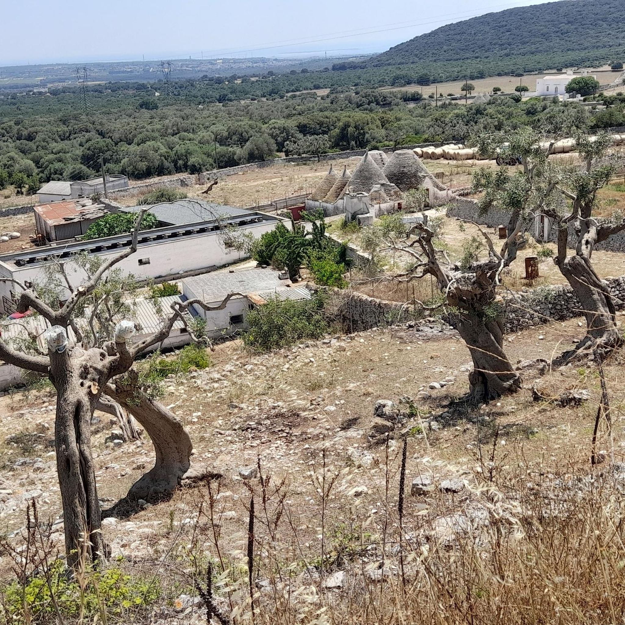
Hiking in Riserva Naturale Regionale Orientata "Bosco Delle Pianelle"
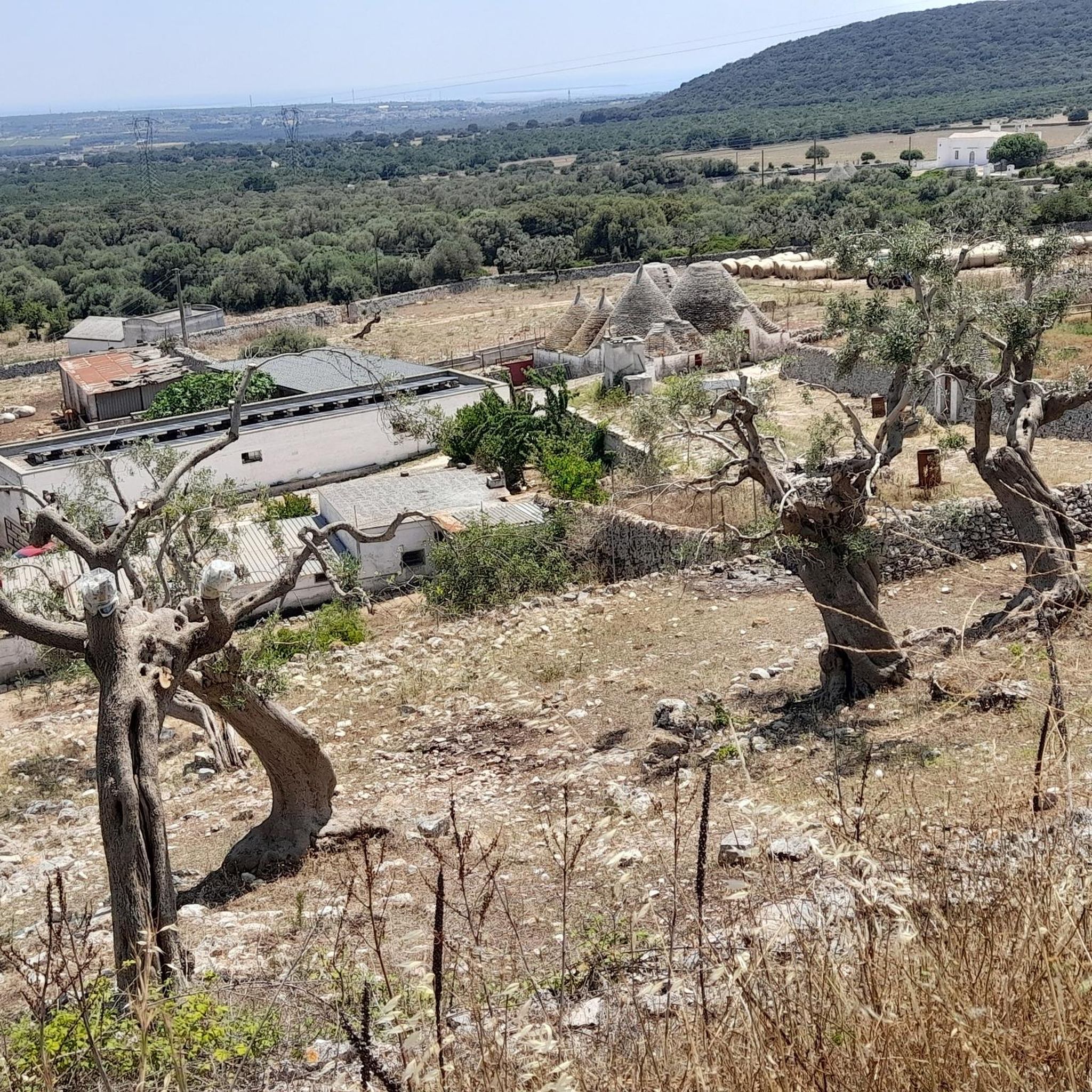
Cycling in Riserva Naturale Regionale Orientata "Bosco Delle Pianelle"
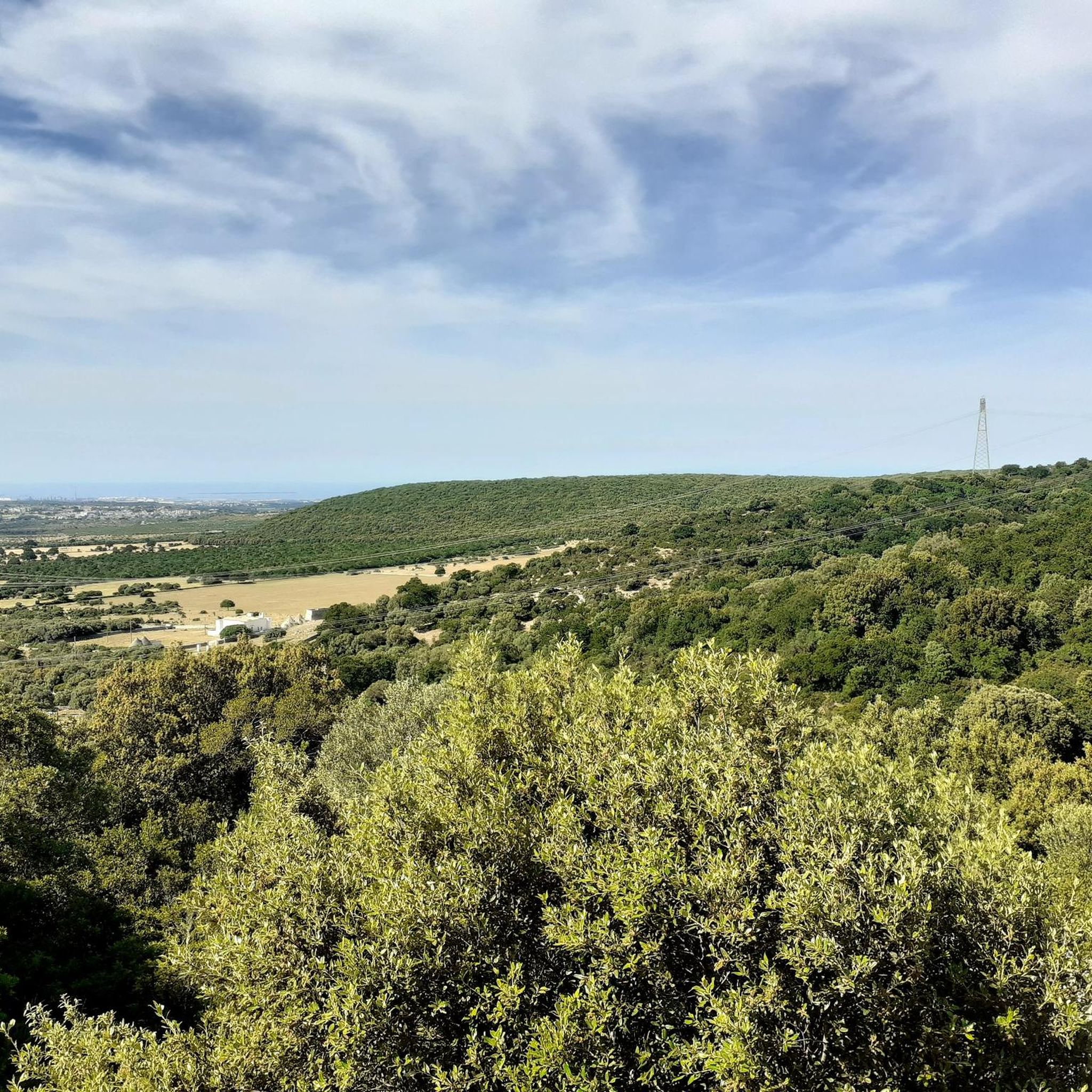
Running Trails in Riserva Naturale Regionale Orientata "Bosco Delle Pianelle"
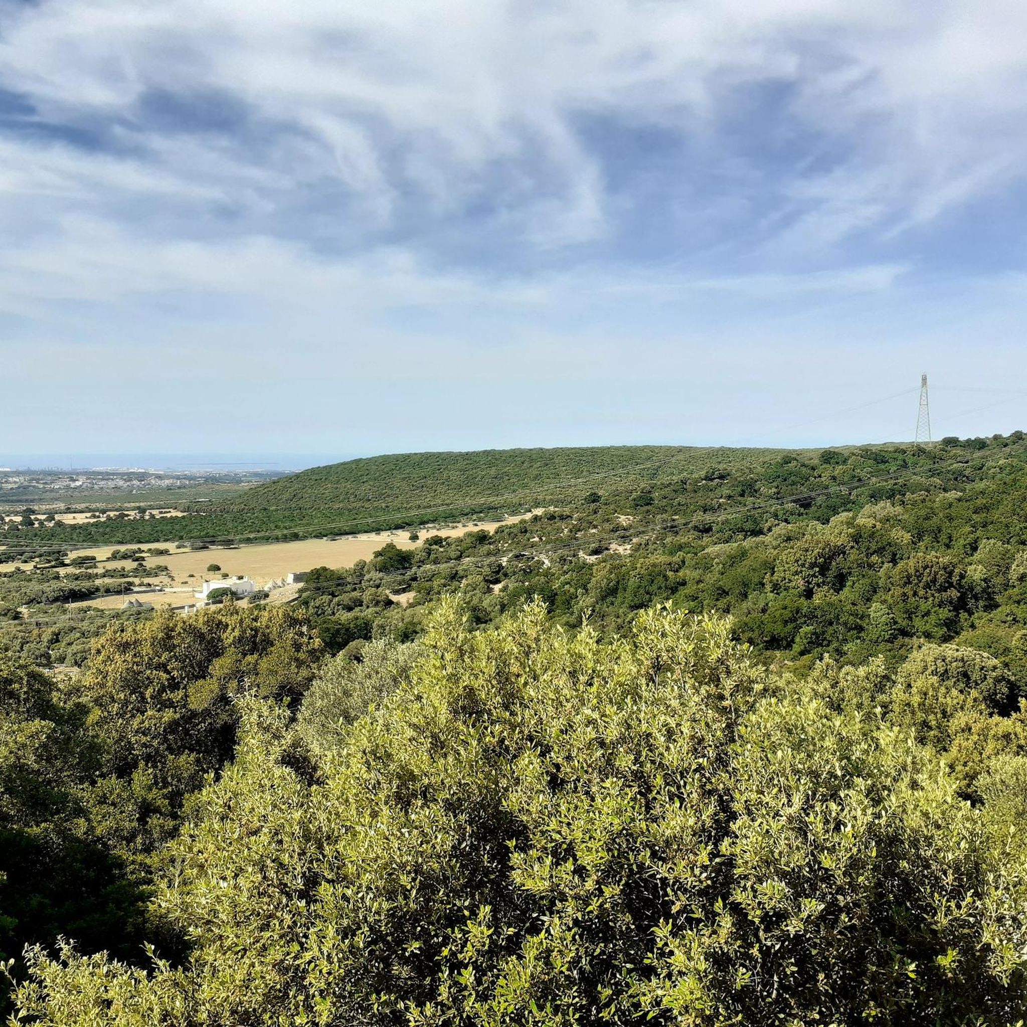
MTB Trails in Riserva Naturale Regionale Orientata "Bosco Delle Pianelle"

Gravel biking in Riserva Naturale Regionale Orientata "Bosco Delle Pianelle"
Tips from the Community

very windy today, bring plenty of water anyway
0
0
beautiful road with not too much incline (around 2% to 7%)
0
0

A pleasant and challenging climb, with a quiet start, followed by a fairly regular section at 10% and then an easier section to the summit. Good road surface and pleasant route among the poplars.
0
0

A small town that can be reached in less than an hour; excellent for a stopover during a journey.
0
0

Excellent climb to reach Martina Franca and the Itria Valley
0
0

Locorotondo is a characteristic Apulian village located in the Itria Valley, with a circular layout, known for its “cummerse”, typical houses with sloping roofs.
0
0

The Salita di Pilano is a classic route connecting Crispiano to Martina Franca. It's lightly trafficked (always watch out for cars, as it's not a cycle path), and is about 4 km long at a 3-4% gradient, with peaks never exceeding 5%. The stretch through the woods is beautiful, providing shelter from the wind when you're caught in a headwind.
0
0

The patronage of "Our Lady of the Snows" – which, in my experience, is not all that common – indicates that this church was dedicated to the Blessed Virgin Mary, but not, as is usually the case, associated with one of her classic feast days (e.g., the Name of Mary, the Nativity, the Assumption, or as Queen of the Rosary). Rather, the search for the origin of "Our Lady of the Snows" leads us far back in church history to the fourth or fifth century, and geographically north to the Italian capital. On August 5, 363, at the site where the magnificent church of Santa Maria Maggiore stands today, the so-called "Miracle of the Snows" occurred. That is, on that day, in the middle of summer, snow lay on the ground in the morning because Our Lady wanted a church dedicated to her to be built on that spot. She communicated this wish in a nighttime vision to a wealthy couple – who financed the construction – and to the Bishop of Rome, Pope Liberius. The Roman church has the rank of a patriarchal basilica (papal basilica), and is the origin of all churches and chapels bearing this patronage. In the liturgical calendar of the Catholic Church, the date of August 5, the day of the church's consecration (in the year 432 by Pope Sixtus III), is a "non-obligatory memorial."
0
0
Frequently Asked Questions
How many road cycling routes are available in Riserva Naturale Regionale Orientata "Bosco Delle Pianelle"?
There are over 50 road cycling routes in Riserva Naturale Regionale Orientata "Bosco Delle Pianelle", offering diverse options for exploring the region by bike.
What is the general difficulty level of road cycling routes in the region?
The routes in Riserva Naturale Regionale Orientata "Bosco Delle Pianelle" cater to various skill levels. You'll find 10 easy routes, 39 moderate routes, and 9 difficult routes, ensuring options for beginners to experienced cyclists.
Are there any easy road cycling routes suitable for beginners?
Yes, there are 10 easy road cycling routes available, perfect for beginners or those looking for a more relaxed ride. These routes typically feature less elevation gain and shorter distances.
What are the typical distances for road cycling routes in Riserva Naturale Regionale Orientata "Bosco Delle Pianelle"?
Route distances vary significantly. For example, the View of Locorotondo – Historic Center of Locorotondo loop from Masseria Chiancone Torricella is about 40 km (24.9 miles), while more challenging routes like Crispiano and Grottaglie and the coastal road from Maruggio to Taranto can extend over 128 km (79.8 miles).
Are there challenging routes for advanced road cyclists?
Absolutely. The region offers 9 difficult routes for experienced road cyclists seeking a challenge. These often feature significant elevation gain, such as the Trulli in Alberobello – Historic Center of Locorotondo loop from Crispiano San Raffaele, which includes nearly 1000 meters of ascent over 84.7 km.
What kind of scenery can I expect along the road cycling routes?
Road cycling in this region offers a blend of historic towns, rolling hills, agricultural areas, and some routes extending towards the Adriatic coast. You'll pass through varied landscapes, from the iconic Trulli of Alberobello to scenic countryside views.
Are there any loop road bike routes available?
Yes, many routes are designed as loops, offering convenient starting and ending points. Examples include the Masseria Pilano – Historic Center of Locorotondo loop from Crispiano San Raffaele and the Crispiano – Crispiano Fountain loop from Crispiano San Raffaele.
What can I see along the road cycling routes in terms of attractions?
Many routes pass by or near notable attractions. You can explore the Bosco delle Pianelle Nature Reserve itself, or discover natural monuments like the Captain’s Tree – Cyclamen Trail and ancient Holm oaks. Some routes also connect historic centers like Locorotondo and Alberobello.
What do other road cyclists enjoy most about road cycling in Riserva Naturale Regionale Orientata "Bosco Delle Pianelle"?
The area is highly rated by the komoot community, with an average score of 4.5 stars from over 35 reviews. Reviewers often praise the diverse terrain, the blend of cultural landmarks and natural scenery, and the well-curated routes that connect charming towns.
When is the best time of year for road cycling in this region?
The region generally offers pleasant cycling conditions for much of the year. Spring and autumn are often ideal, with milder temperatures and beautiful landscapes. Summers can be warm, especially inland, so early morning rides are recommended during peak season.
Are there any viewpoints along the road cycling routes?
Yes, many routes offer scenic viewpoints, particularly those that traverse rolling hills or pass near historic towns. For instance, the View of Locorotondo – Historic Center of Locorotondo loop from Masseria Chiancone Torricella is specifically named for its views of Locorotondo.
Is parking available at the starting points of the routes?
While specific parking facilities are not detailed for every route, starting points are often located in or near towns like Crispiano San Raffaele or Masseria Chiancone Torricella, where public parking is generally available.
Most popular routes in Riserva Naturale Regionale Orientata "Bosco Delle Pianelle"
Most popular attractions in Riserva Naturale Regionale Orientata "Bosco Delle Pianelle"

Get inspired with the komoot mobile app


Explore more
Browse the best Road cycling routes in other regions.
