The best walks and hikes around Hohentannen
4.5
(1708)
8,080
hikers
499
hikes
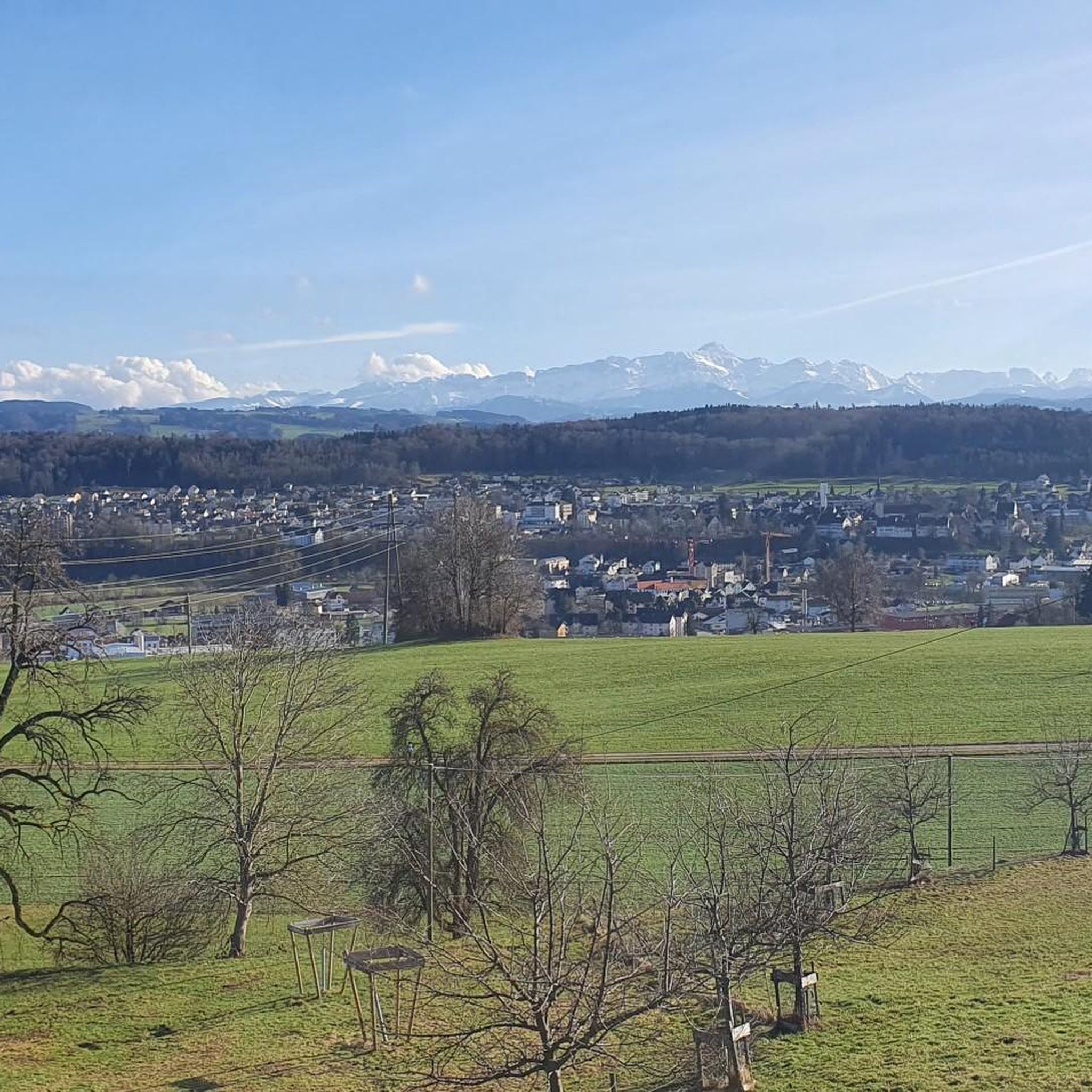
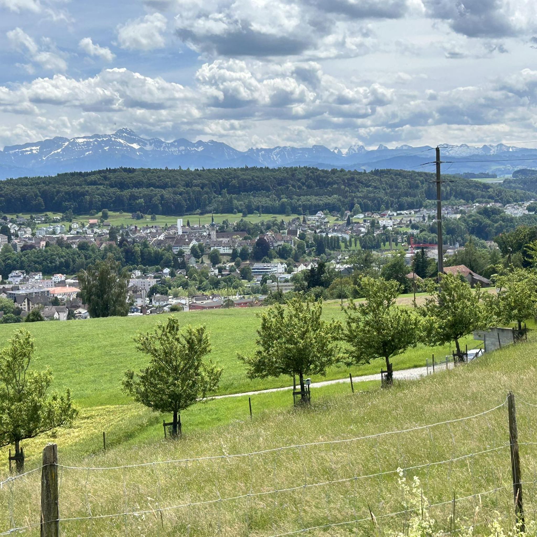
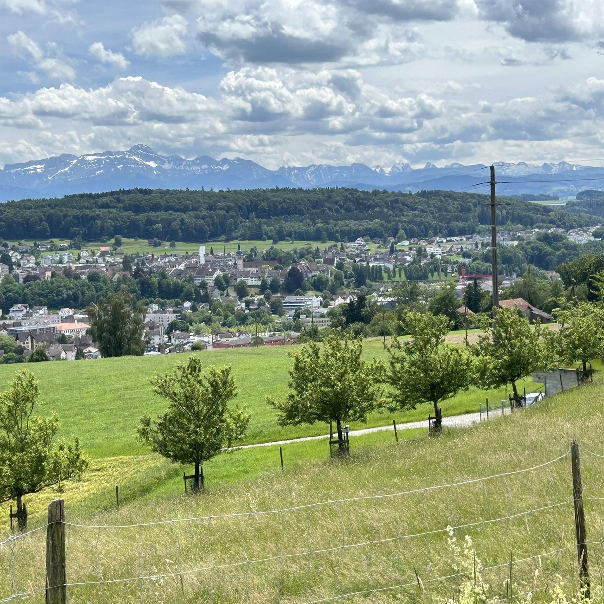
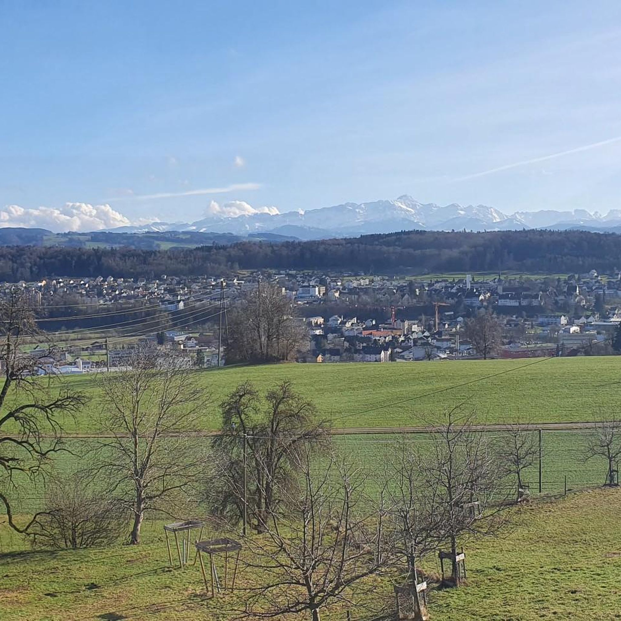
Hiking around Hohentannen offers a blend of idyllic rural scenery and diverse trails within the heart of Thurgau, Switzerland. The region features panoramic views of the Alpstein region and the Thur Valley, with paths winding through peaceful, rural landscapes. Natural features include the Zihlschlachter Wald (forest) and various hills, contributing to varied terrain for hikers.
Best hiking trails in Hohentannen
- The most popular hiking route is Stream bridge – Roote-Bach Bridge loop from Kradolf, a 7.5 miles (12.1 km)…
Last updated: July 11, 2026
4.5
(46)
179
hikers
12.1km
03:22
230m
230m
Moderate hike. Good fitness required. Easily-accessible paths. Suitable for all skill levels.
4.4
(7)
29
hikers
Moderate hike. Good fitness required. Easily-accessible paths. Suitable for all skill levels.

Sign up for free
4.3
(3)
12
hikers
6.66km
01:53
140m
140m
Easy hike. Great for any fitness level. Easily-accessible paths. Suitable for all skill levels.
5.0
(1)
17
hikers
3.72km
01:04
80m
80m
Easy hike. Great for any fitness level. Easily-accessible paths. Suitable for all skill levels.
4.4
(5)
10
hikers
7.17km
02:06
190m
190m
Moderate hike. Good fitness required. Easily-accessible paths. Suitable for all skill levels.
Get access to more routes and recommendations from other explorers.
Sign up for free
Already have an account?
Our route recommendations are based on thousands of hikes, rides, and runs completed by other people on komoot.
Start today with a free account
Your next adventure awaits.
Login or Signup
Tips from the Community


Is actually only worth it if you are there anyway. The best thing is the view from the opposite slope.
0
1

Danger of rockfall (signposted) access to the rock face is not advisable.
1
0

A very varied and interesting hike with good signage and paths
0
1

Beautiful and well-developed path. A bit greasy and slippery in rainy weather.
0
0
Chapel of St. Michael in Oetlishausen, origins in the 12th century. Next to it is the castle of Oetlishausen (private property). There is a deer enclosure under the castle.
1
1
Here the river Sitter (coming from Appenzell) flows into the Thur (coming from Toggenburg), together they flow as the Thur to the Rhine.
2
0
Frequently Asked Questions
How many hiking trails are available around Hohentannen?
Hohentannen offers a wide variety of hiking experiences, with over 500 trails available. These routes cater to all levels, from leisurely strolls to more demanding excursions, winding through picturesque rural landscapes and natural features.
What kind of scenery can I expect on hikes in Hohentannen?
Hikers in Hohentannen are treated to idyllic rural scenery, diverse terrain, and breathtaking panoramic views of the Alpstein region and the Thur Valley. Trails often traverse peaceful areas, including the Zihlschlachter Wald (forest) and various hills, providing a rich and varied outdoor experience.
Are there any family-friendly hiking options in Hohentannen?
Yes, Hohentannen offers many easy trails suitable for families. For example, the Chatzensteig loop from Bischofszell is an easy 3.7 km route that can be completed in just over an hour, perfect for a family outing. Many trails also feature designated picnic spots, known as 'Brötlistellen', for enjoyable breaks.
Can I find circular hiking routes in the Hohentannen area?
Absolutely. Many of the trails around Hohentannen are designed as circular routes, allowing you to start and end at the same point. Popular options include the moderate Stream bridge – Roote-Bach Bridge loop from Kradolf, which offers rural landscape views, or the shorter, easy Last Ruin – Roote-Bach Bridge loop from Kradolf.
What do other hikers say about the trails in Hohentannen?
The hiking trails in Hohentannen are highly regarded by the komoot community, boasting an average rating of 4.6 stars from over 1,500 reviews. Hikers frequently praise the region's diverse trails, peaceful rural landscapes, and the stunning panoramic views of the Alpstein region.
Are there any notable landmarks or attractions to see while hiking?
Yes, the region offers several points of interest. You can explore natural features like the Hohlen Stein Gorge or the Stichbach Gorge. For historical interest, the almost 800-year-old Hagenwil Moated Castle is nearby and features a restaurant. You can also find viewpoints like Nollen offering expansive views.
Are there any trails that offer views of the Thur Valley or Alpstein region?
Many trails in Hohentannen provide excellent opportunities for panoramic views. The region is known for its vistas of the Alpstein mountains and the Thur Valley. Routes like the Confluence of the Sitter and Thur – Thurfeld Weir and Floodplains loop from Kradolf specifically explore river confluences and floodplains characteristic of the Thur Valley, offering unique perspectives.
What is the best time of year to go hiking in Hohentannen?
While Hohentannen offers hiking opportunities year-round, the most popular times are typically from spring through autumn when the weather is mild and the natural scenery is at its most vibrant. The diverse trails are enjoyable in various conditions, but always check local weather before heading out.
Are there any easy or beginner-friendly hikes in Hohentannen?
Yes, Hohentannen has over 320 easy trails perfect for beginners or those seeking a relaxed walk. An example is the Last Ruin – Roote-Bach Bridge loop from Kradolf, an easy 6.7 km route that takes less than two hours to complete, leading through pleasant rural areas.
Are there places to eat or picnic spots along the trails?
Yes, the region is well-equipped for hikers. You'll find several designated picnic areas, known locally as 'Brötlistellen', strategically placed along the hiking paths. Additionally, the historic Hagenwil Moated Castle, a significant attraction, houses an excellent restaurant serving local Thurgau delicacies.
What are the typical trail conditions and terrain like?
The trails in Hohentannen are diverse, ranging from gentle paths through peaceful rural areas to routes traversing forests like the Zihlschlachter Wald and various hills. You can expect a mix of well-maintained paths and natural surfaces, suitable for different levels of hiking experience.
Are there any trails that explore river areas or floodplains?
Yes, for those interested in riverine landscapes, the Confluence of the Sitter and Thur – Thurfeld Weir and Floodplains loop from Kradolf is a moderate 14 km path that specifically explores the river confluences and floodplains, offering a unique natural experience characteristic of the Thur Valley.
Most popular routes around Hohentannen
Most popular attractions around Hohentannen

Get inspired with the komoot mobile app


Explore more
Browse the best Hikes in other regions.
