The best road cycling routes around Hohenstein-Ernstthal
4.6
(904)
9,770
riders
47
rides
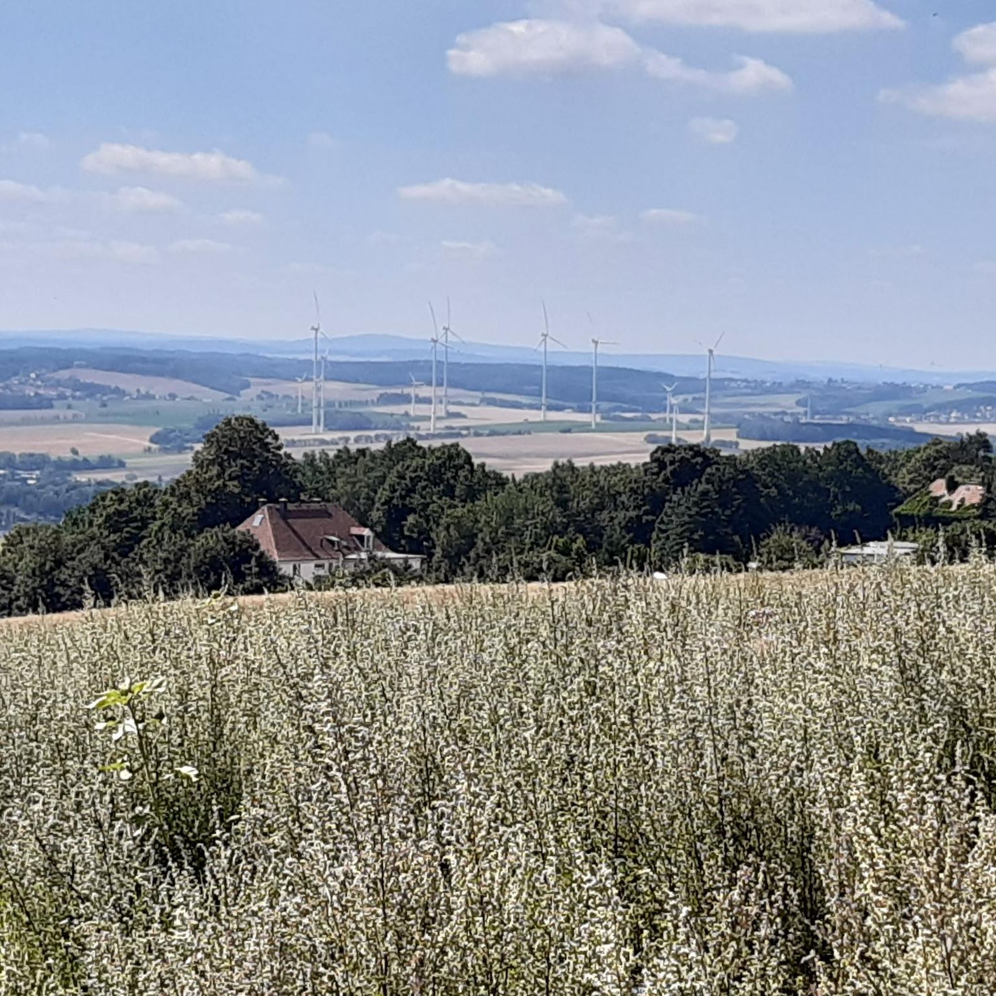
Road cycling routes around Hohenstein-Ernstthal traverse a varied landscape, offering a blend of natural features and dedicated infrastructure. The region is characterized by rolling hills and forests at the foot of the Ore Mountains, providing a diverse terrain for cyclists. Routes often pass by natural monuments and tranquil lakes such as the Stausee Oberwald, with options for both flat sections and hilly passages. Cyclists can experience panoramic views and enjoy the environment of Grünfelder Park.
Best road cycling routes around…
Last updated: May 14, 2026
4.7
(56)
534
riders
Moderate road ride. Good fitness required. Some segments of this route may be unpaved and difficult to ride.
4.7
(7)
58
riders
Moderate road ride. Good fitness required. Some segments of this route may be unpaved and difficult to ride.

Sign up for free
5.0
(1)
55
riders
37.8km
01:43
380m
380m
Moderate road ride. Good fitness required. Mostly well-paved surfaces and easy to ride.
4.0
(1)
47
riders
25.7km
01:05
170m
170m
Easy road ride. Great for any fitness level. Mostly well-paved surfaces and easy to ride.
4.8
(12)
77
riders
Moderate road ride. Good fitness required. Some segments of this route may be unpaved and difficult to ride.
Get access to more routes and recommendations from other explorers.
Sign up for free
Already have an account?
Our route recommendations are based on thousands of hikes, rides, and runs completed by other people on komoot.
Start today with a free account
Your next adventure awaits.
Login or Signup

Other adventures around Hohenstein-Ernstthal

Tips from the Community

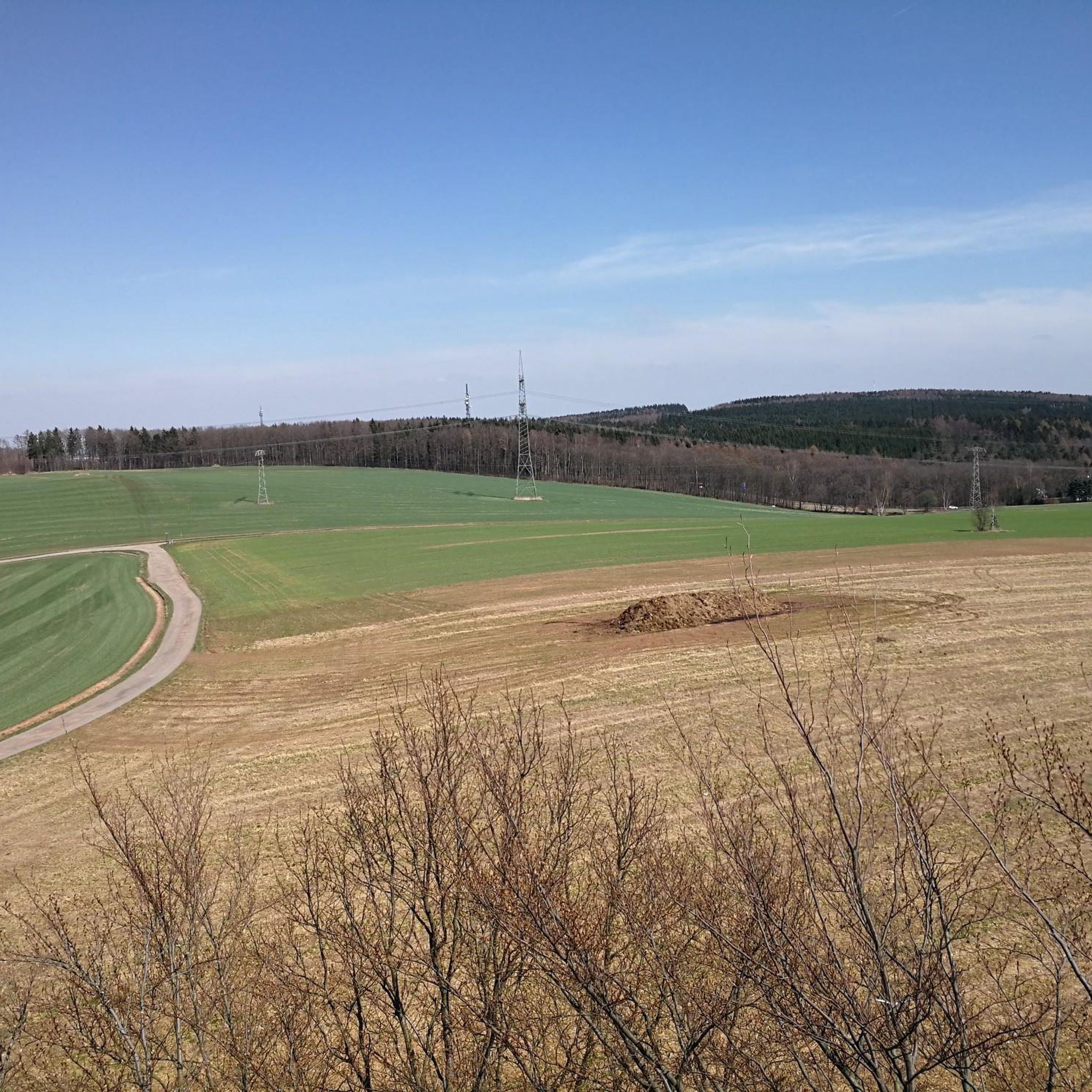
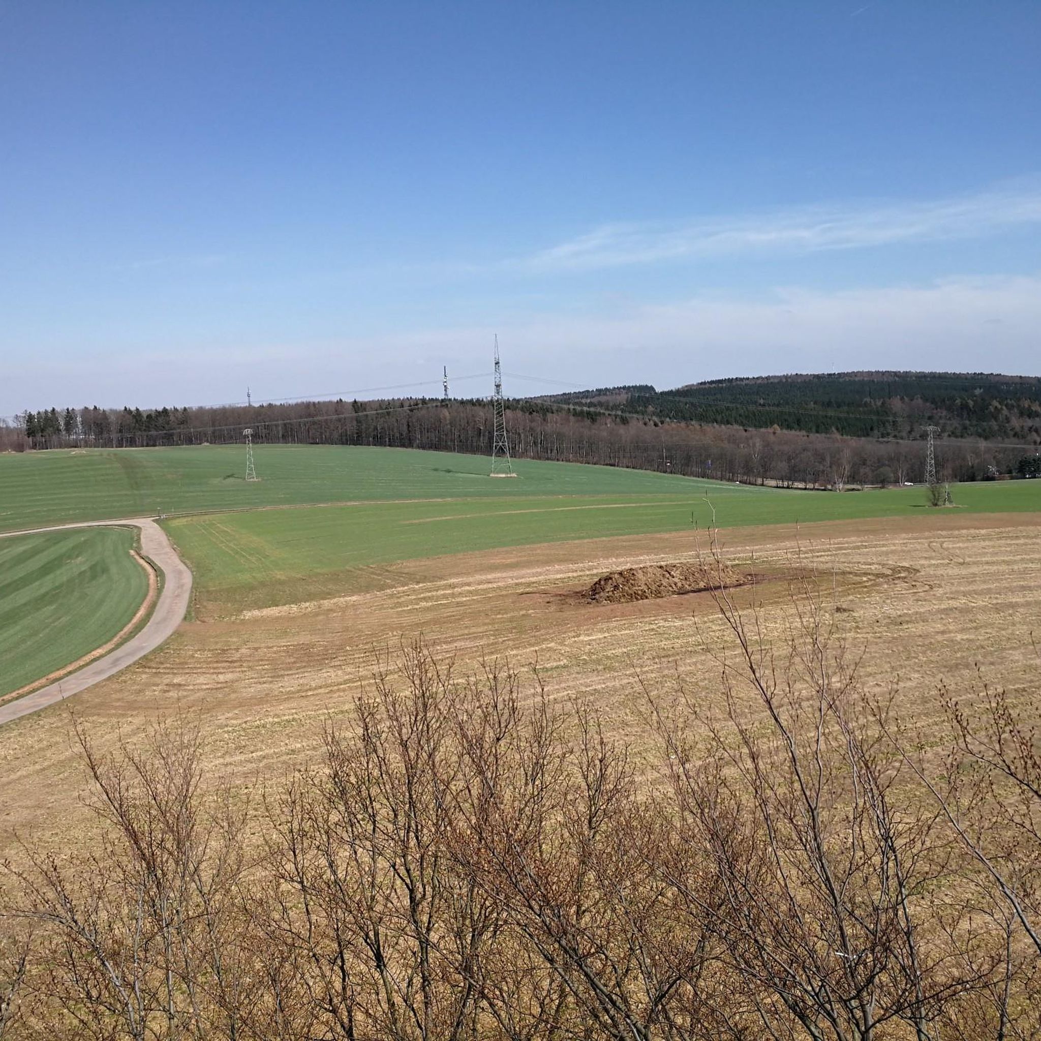
From up here you have a great view of the beautiful Saxon landscape
0
0

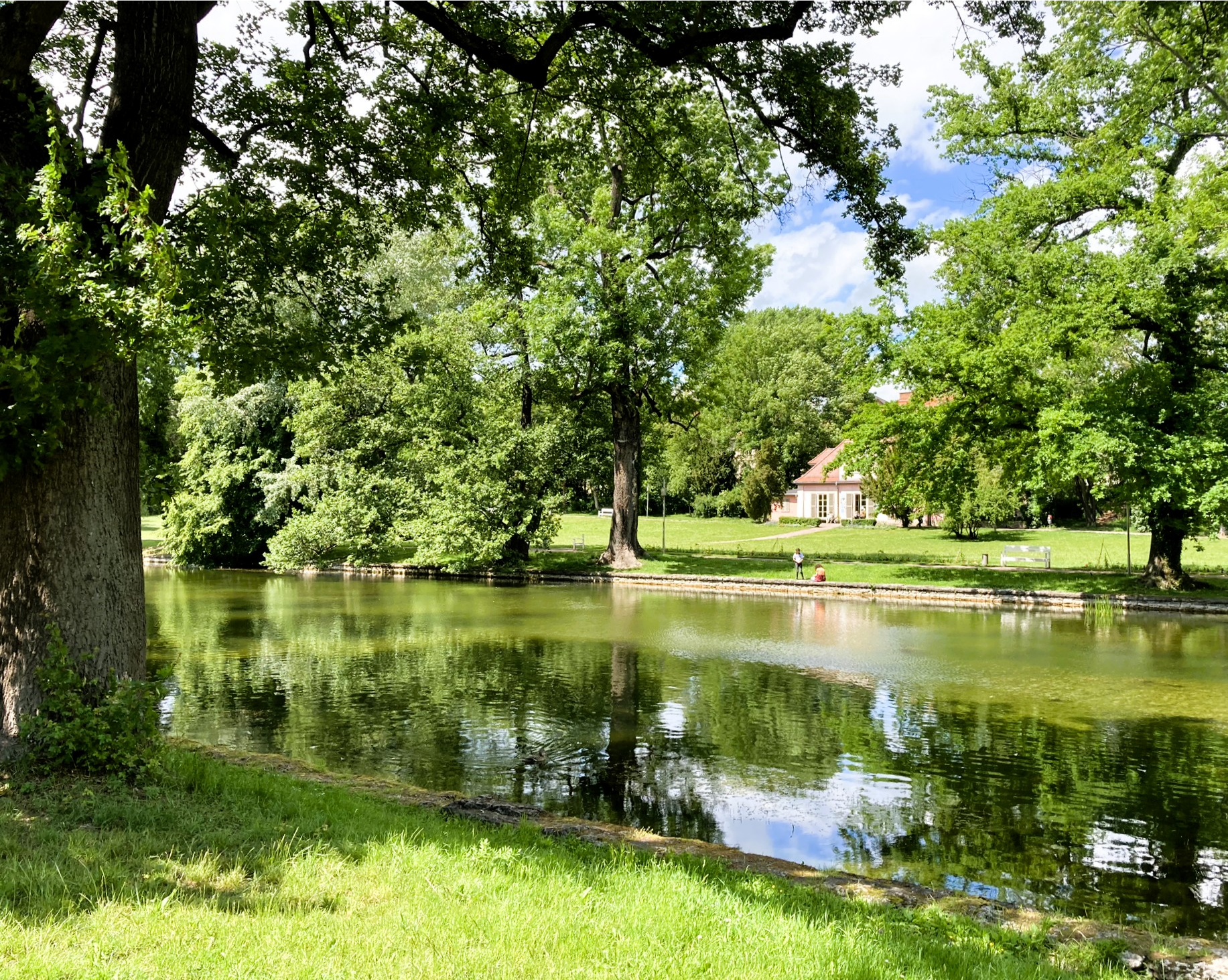
Beautiful park, for lingering alone, with children or with parents, or simply for a relaxed ride through.
0
0

The house of worship, built in the "Empire style", was consecrated in 1810. Dominating the exterior is a mighty portico with a triangular pediment, supported by monumental columns. https://de.wikipedia.org/wiki/Johanneskirche_(Chemnitz-Reichenbrand)
0
0

The cycle path now goes all the way to Wüstenbrand. Perfect.
0
0

More about the history: https://www.sachses-ruh.de/wir-über-uns/stadtpark/
1
0

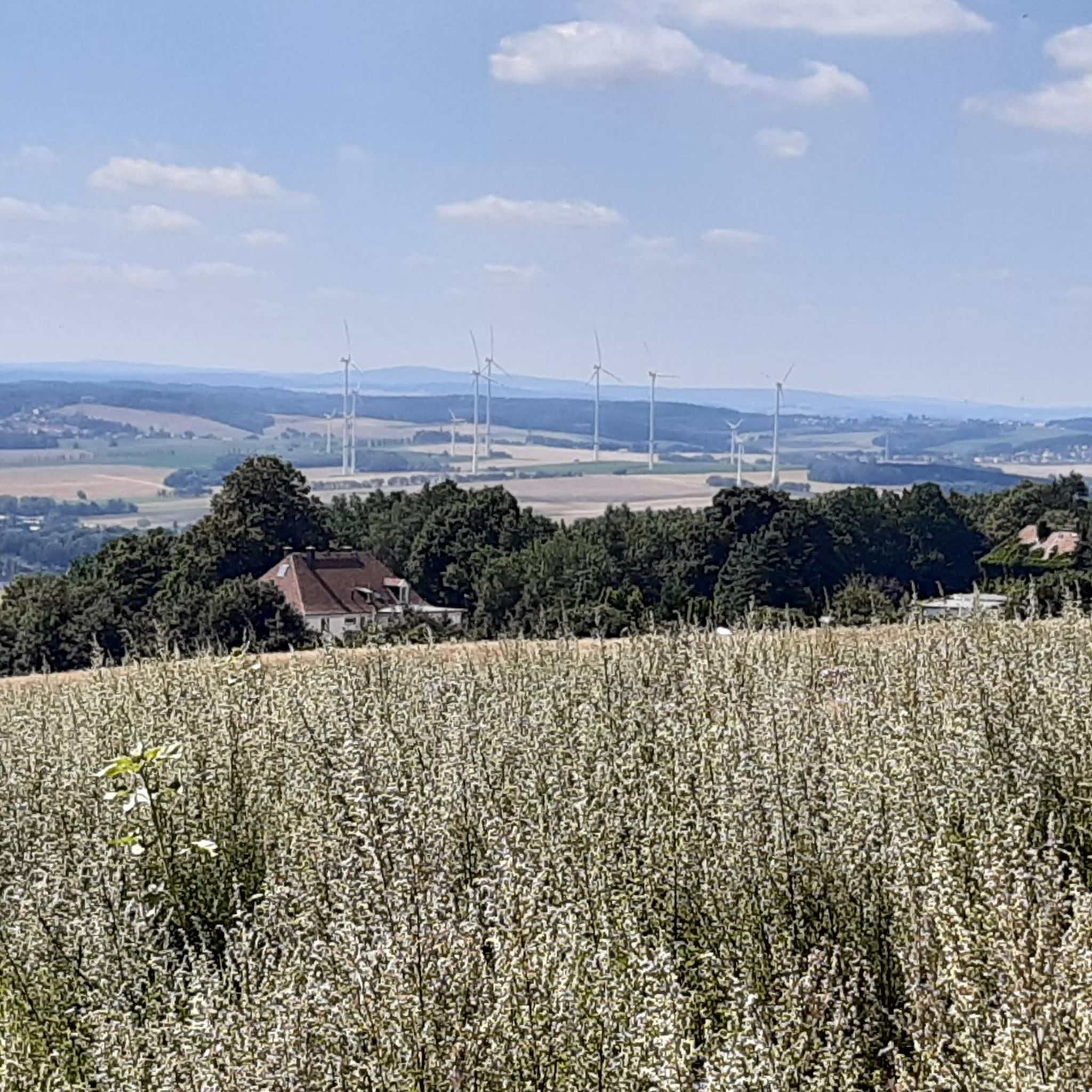
wonderful view
0
0


Frequently Asked Questions
How many road cycling routes are available in Hohenstein-Ernstthal?
Hohenstein-Ernstthal offers a network of over 50 road cycling routes. These routes cater to various skill levels, with options ranging from easy to challenging rides.
What types of landscapes can I expect to see while road cycling in Hohenstein-Ernstthal?
The region around Hohenstein-Ernstthal features a varied landscape, including hills, forests, and tranquil lakes like the Stausee Oberwald. You can also expect panoramic views from points such as the Maria Josepha Tower, which offers vistas stretching to the Ore Mountains and even Leipzig on clear days. Many routes also integrate pleasant environments like Grünfelder Park.
Are there easy road cycling routes suitable for beginners or families?
Yes, Hohenstein-Ernstthal has several easy road cycling routes. For instance, the Ursprung Station – Kohlebahn Cycle Path loop from Hohenstein-Ernstthal is an easy 31.1 km path that follows a former railway line, offering a relatively flat and accessible ride. Another easy option is the Hohenstein-Ernstthal – Cycle path loop from Hohenstein-Ernstthal, which is 25.6 km long.
What are some challenging road cycling routes for advanced riders?
While the guide highlights moderate routes, the region's diverse terrain includes hills and forests, providing opportunities for more challenging rides. There are 6 routes classified as difficult within the area, offering greater elevation gains and longer distances for experienced cyclists.
Are there circular road cycling routes in Hohenstein-Ernstthal?
Yes, many of the road cycling routes in Hohenstein-Ernstthal are designed as loops. Examples include the Old Brickworks – Old Stollberg Brickworks loop from Wüstenbrand (48.7 km), the Ursprung Station – Kohlebahn Cycle Path loop from Hohenstein-Ernstthal (31.1 km), and the Sachsenring – Grünfelder Park loop from Hohenstein-Ernstthal (47.6 km).
What landmarks or attractions can I see while road cycling in the area?
Road cycling routes often pass by significant landmarks. You can explore the renowned Sachsenring circuit, a world-famous motorsport venue. Additionally, you might encounter historical sites like Rabenstein Castle or Wolkenburg Castle, and enjoy natural highlights such as Grünfelder Park or the Stausee Oberwald. Some routes also offer views from the Maria Josepha Tower.
What makes the Sachsenring area special for road cyclists?
The Sachsenring is not just a motorsport venue; it's a significant location for cycling. The 'Rund um den Sachsenring' route, an 8.9 km loop with a 122-meter ascent, is a popular choice for local cyclists. The region also hosts annual events like the 'Sachsenringradrennen' (Sachsenring Road Race), attracting both amateur and licensed athletes, highlighting its strong connection to road cycling.
Are there places to stop for refreshments or rest along the routes?
Yes, some routes offer opportunities for breaks. You might find huts and cabins like Forsthaus Rothenbach or Totenstein-Alm, which can serve as refreshment stops. There are also designated rest areas, such as the Rest area with a view on the Lugau–Mittelbach cycle path.
What do other road cyclists enjoy most about road cycling in Hohenstein-Ernstthal?
The area is highly rated by the komoot community, with an average score of 4.7 stars from over 100 reviews. Reviewers often praise the varied landscapes, which include hills, forests, and the famous Sachsenring circuit, as well as the network of routes that cater to different ability levels.
What is the best time of year for road cycling in Hohenstein-Ernstthal?
The region's varied landscape, including hills and forests, is generally enjoyable from spring through autumn. The annual 'Sachsenringradrennen' typically takes place in April, suggesting that spring offers good conditions for cycling. Clear days provide the best panoramic views from elevated points like the Maria Josepha Tower.
Is parking available for road cyclists in Hohenstein-Ernstthal?
While specific parking locations are not detailed for each route, Hohenstein-Ernstthal is well-equipped for visitors. Many routes start from the town itself or nearby villages, where public parking facilities are generally available, making it convenient to access the cycling network.
How can I access road cycling routes using public transport?
Hohenstein-Ernstthal has public transport connections that can facilitate access to various starting points. For example, the Ursprung Station – Kohlebahn Cycle Path loop starts near Ursprung Station, indicating that some routes are accessible via local train or bus services, allowing you to reach the beginning of your ride without a car.
Most popular routes around Hohenstein-Ernstthal
Most popular attractions around Hohenstein-Ernstthal

Get inspired with the komoot mobile app


Explore more
Browse the best Road cycling routes in other regions.
