The best walks and hikes in Sito D'Importanza Comunitaria ''Abetina Di Castiglione''
4.1
(28)
174
hikers
10
hikes
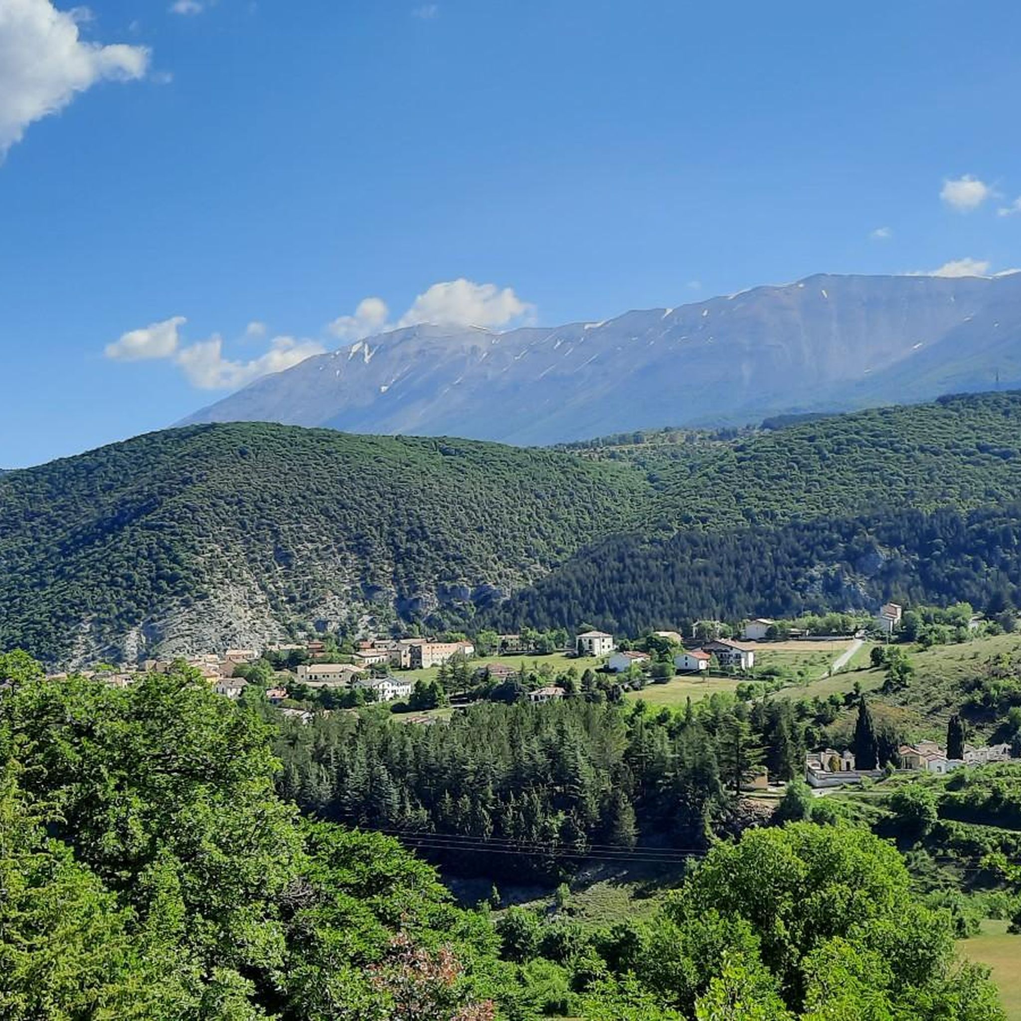
Hiking in Sito D'Importanza Comunitaria ''Abetina Di Castiglione'' offers access to unique natural features within the mountainous Alto Vastese area of Abruzzo, Italy. The region is characterized by ancient white fir forests, which are rare in Abruzzo, and diverse arboreal landscapes including beech, maple, and yew. Altitudes range from 1,000 meters at the Sinello riverbed to 1,415 meters at Monte Castelfraiano, hosting the sources of the Treste and Sinello rivers.
Best hiking trails in Sito D'Importanza Comunitaria ''Abetina Di Castiglione''
…Last updated: July 5, 2026
3
hikers
Moderate hike. Good fitness required. Easily-accessible paths. Suitable for all skill levels.
4.0
(4)
14
hikers
9.05km
02:51
340m
340m
Moderate hike. Good fitness required. Easily-accessible paths. Suitable for all skill levels.

Sign up for free
3.0
(2)
6
hikers
13.2km
03:42
250m
250m
Moderate hike. Good fitness required. Easily-accessible paths. Suitable for all skill levels.
3.9
(9)
63
hikers
4.94km
01:29
150m
150m
Easy hike. Great for any fitness level. Easily-accessible paths. Suitable for all skill levels.
4.1
(11)
63
hikers
3.66km
01:06
100m
100m
Easy hike. Great for any fitness level. Easily-accessible paths. Suitable for all skill levels.
Get access to more routes and recommendations from other explorers.
Sign up for free
Already have an account?
Our route recommendations are based on thousands of hikes, rides, and runs completed by other people on komoot.
Start today with a free account
Your next adventure awaits.
Login or Signup
Popular around Sito D'Importanza Comunitaria ''Abetina Di Castiglione''

Tips from the Community

The excursion was done on June 16, 2024 and there was a total lack of water!
1
0

The fortress of Castelfraiano, which gives its name to Monte Castelfraiano, had the function of being a supervisory point for transhumance and regulating access from Monteferrante and the Val di Sangro.
1
0
The Green Falls are located within a Special Area of Conservation (SAC), with the falls originating from the Rio Verde. The organic quality is remarkable, there are crayfish and river crab, the dipper and the yellow wagtail, as well as the peregrine falcon and the red kite.
2
0
The green waterfalls are the highest perennial natural waterfalls in the Apennines. In total they fall for over 200 meters before joining the Sangro River.
2
0
Frequently Asked Questions
What is the general difficulty level of hiking trails in Abetina di Castiglione?
The hiking trails in Abetina di Castiglione are primarily rated as easy to moderate. There are 4 easy routes and 3 moderate routes available, making the area accessible for a wide range of hikers.
What unique natural features can I expect to see while hiking in this region?
The region is renowned for its ancient white fir forests, which are a rare sight in Abruzzo. You'll also encounter diverse arboreal landscapes with beech, maple, and yew trees, especially vibrant in autumn. The area hosts the sources of the Treste and Sinello rivers, and you can explore mountainous terrain reaching up to 1,415 meters at Monte Castelfraiano.
Are there any circular hiking routes in Abetina di Castiglione?
Yes, several routes in the area are circular. For example, you can explore the Castelfraiano Fortress – Monte Castelfraiano loop from Castiglione Messer Marino, which takes you to Monte Castelfraiano. Another option is the Forest House loop from Rosello, exploring the forested areas.
What is the best time of year to go hiking in Abetina di Castiglione?
While the area is accessible year-round, autumn is particularly stunning due to the vibrant array of colors displayed by the diverse tree species, beautifully contrasted by the dark green of the firs. In winter, if there's snow, the trails are suitable for snowshoeing.
Are there any trails suitable for families with children?
Yes, there are several easy trails perfect for families. An example is the View of the Cascate del Verde – View of the Cascate del Verde loop from Borrello, which is 3.8 km long and can be completed in about an hour, offering varied terrain suitable for a family outing.
Can I bring my dog on the hiking trails?
The Abetina di Selva Grande Natural Oasis, which encompasses much of the hiking area, is generally welcoming to dogs, provided they are kept under control, especially due to the presence of diverse wildlife. Always ensure your dog is on a leash and that you clean up after them to preserve the natural environment.
What kind of wildlife might I encounter?
The area boasts rich biodiversity. You might spot various bird species like woodpeckers, goshawks, and owls. Mammals such as wild cats, martens, wild boars, and deer inhabit the forests. The wolf, a symbol of the reserve, is also present, though rarely seen. Amphibians like the spectacled salamander and fire salamander can also be found.
Are there any notable landmarks or viewpoints along the trails?
Yes, the area offers several points of interest. The summit of Monte Castelfraiano provides expansive views. The View of the Cascate del Verde – View of the Cascate del Verde loop from Rosello will lead you to views of the Cascate del Verde (Green Waterfalls). Additionally, the Sentiero 602 connects to the historic Church of Santa Maria del Monte.
Where can I park when visiting the Abetina di Castiglione for hiking?
Parking is generally available near the starting points of popular trails. For instance, the Sentiero 601 (Nature Trail Abetina Selva Grande) starts near a picnic area by the Sinello torrent, accessible from Provincial Road 152, where parking facilities are typically found.
What do other hikers enjoy most about hiking in Abetina di Castiglione?
The area is highly rated by the komoot community, with an average score of 4.0 stars from over 20 reviews. Hikers often praise the unique experience of walking through the ancient white fir forests, the stunning autumnal colors, and the peaceful, natural environment.
Are there any options for longer, more challenging hikes?
While most routes are easy to moderate, the network of trails allows for longer explorations. For example, the View of the Cascate del Verde – View of the Cascate del Verde loop from Rosello is a moderate 13.5 km trail. Additionally, connecting trails like Sentiero 603 can lead to more extensive ascents, such as to the summit of Monte Castelfraiano.
Are there any cultural or historical sites to explore in the vicinity?
Beyond the natural beauty, the broader Castiglione area offers opportunities to discover ancient ruins and centuries-old oak trees. The Sentiero 602, for example, leads to the historic Church of Santa Maria del Monte, providing a blend of naturalistic and cultural exploration.
Most popular routes in Sito D'Importanza Comunitaria ''Abetina Di Castiglione''

Get inspired with the komoot mobile app


Explore more
Browse the best Hikes in other regions.
