The best road cycling routes in Monumento Naturale Campo Soriano
4.6
(57)
1,692
riders
80
rides
Road cycling routes in Monumento Naturale Campo Soriano traverse a unique karst landscape in the Lazio region of Italy. This protected area features a significant karst valley, known as a polje, surrounded by rocky terrain and distinctive limestone formations. Cyclists will encounter varied topography, including isolated spire-shaped rocks and views of surrounding hills like Monte Romano. The routes offer opportunities to experience the geological features and Mediterranean vegetation of the area.
Best road cycling routes in Monumento Naturale Campo Soriano
…Last updated: July 8, 2026
73.0km
03:02
390m
390m
Moderate road ride. Good fitness required. Mostly well-paved surfaces and easy to ride.
4.2
(5)
74
riders
Moderate road ride. Good fitness required. Mostly well-paved surfaces and easy to ride.

Sign up for free
4.5
(2)
29
riders
101km
04:40
1,140m
1,140m
Hard road ride. Very good fitness required. Mostly well-paved surfaces and easy to ride.
5.0
(1)
25
riders
87.9km
04:05
980m
980m
Hard road ride. Very good fitness required. Some segments of this route may be unpaved and difficult to ride.
4.3
(6)
121
riders
45.2km
01:59
170m
170m
Easy road ride. Great for any fitness level. Mostly well-paved surfaces and easy to ride.
Get access to more routes and recommendations from other explorers.
Sign up for free
Already have an account?
Our route recommendations are based on thousands of hikes, rides, and runs completed by other people on komoot.
Start today with a free account
Your next adventure awaits.
Login or Signup
Popular around Monumento Naturale Campo Soriano

Tips from the Community

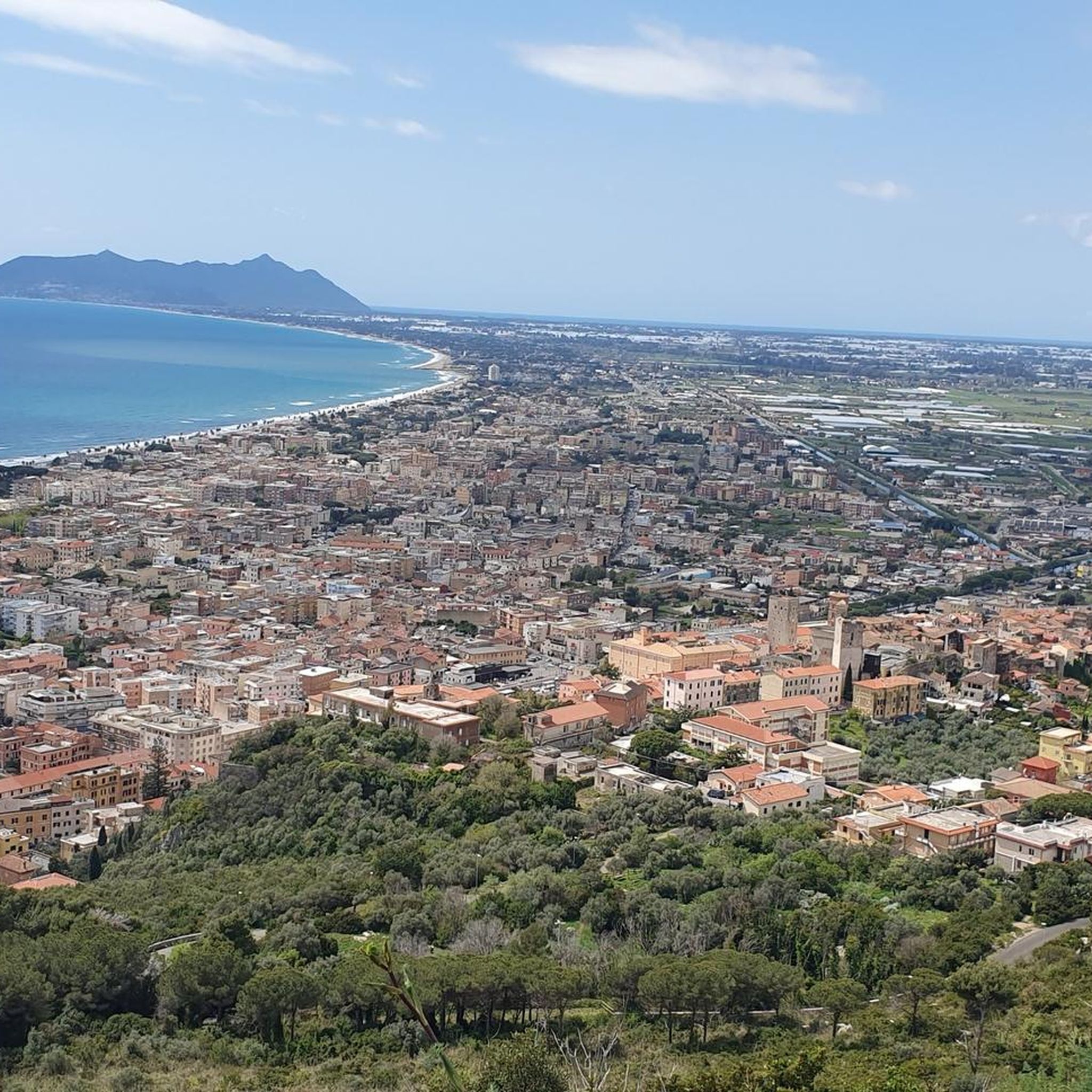
Panoramic point from where you can see the islands of Zannone, Ponza and Palmarola. The square in front is on a dirt road. To get there you have to climb up to San Felice Circeo, about 1.5 km with gradients of over 12% and the other that takes you back to the town (the lighthouse is on a dead-end road) of 1.5 km of pedaling, with the last 3/400 meters at 10/11%.
1
0

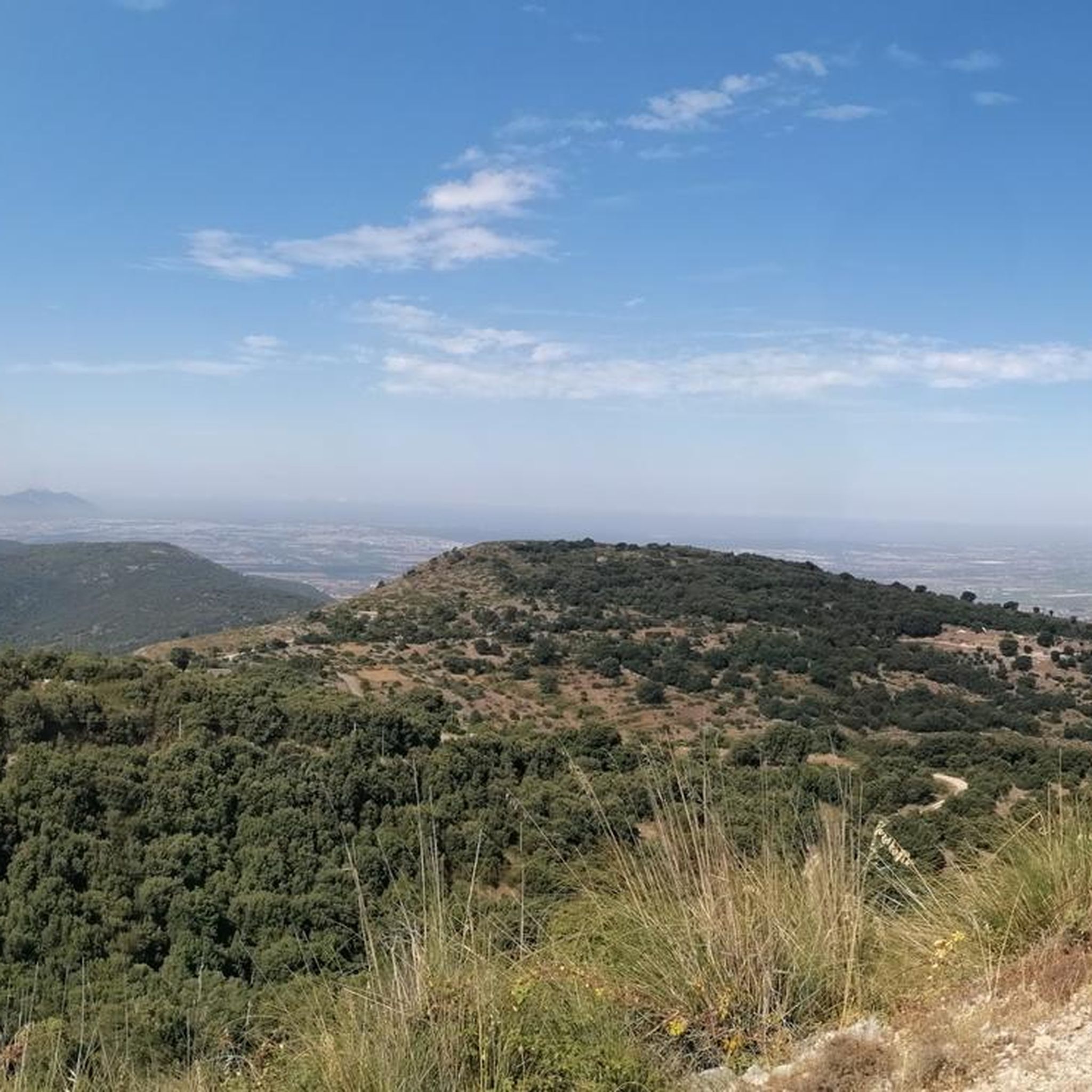
To climb towards Cima Pantani from Contrada Taverna, below Campodimele, take Via Pozzo Largo and follow a pleasant little road immersed in the peace of nature until you enter a small wood. The road is narrow but well paved. I recommend it as a variant to the climb, for the Cima, from Fondi. Once you get there, you can continue towards Lenola and then quickly descend towards Fondi
0
0
Right in front of the eastern beach or “spiaggetta”. There is also a fountain to fill your water bottle
0
0
Fountain in Piazza della Repubblica, nicknamed by locals as the “fountain that pisses in the air”
1
0
The historic center, in the upper part of Terracina, offers countless testimonies of the Roman era: the Capitolium, the Roman theater, the Emilian forum, the Appian Way.
1
0
The SR637 that connects Lenola to Vallecorsa is beautiful, it is pleasant both uphill (from Lenola) and downhill (from Vallecorsa), relaxing and fun, the eyes get lost in the valley
1
0

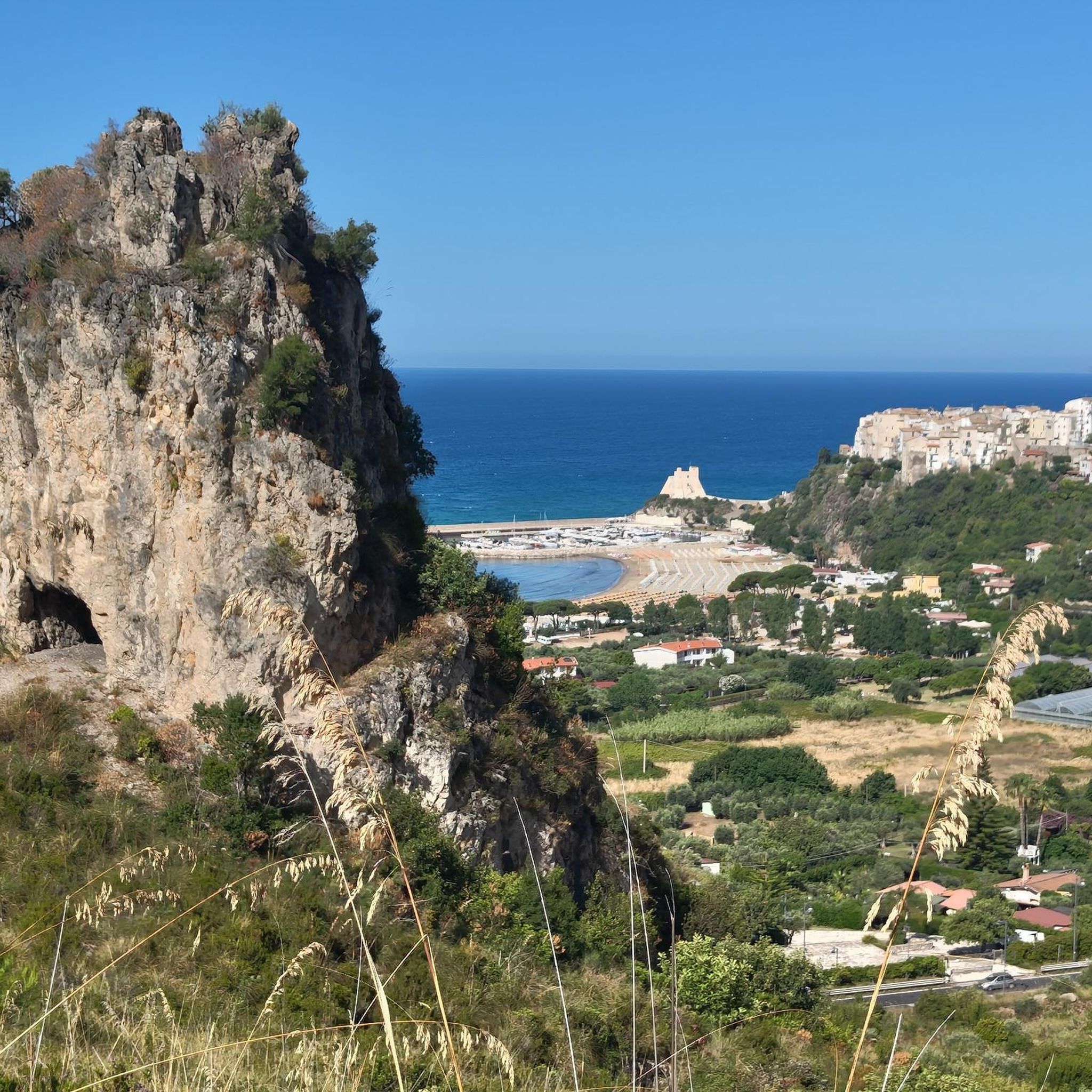
Before entering Carpineto you can enjoy a beautiful view of the village and the Lepini mountains.
1
0
Very fresh and hopefully drinkable water…
0
0
Frequently Asked Questions
How many road cycling routes are available in Monumento Naturale Campo Soriano?
Monumento Naturale Campo Soriano offers a wide selection of road cycling routes, with over 70 options available. These routes cater to various skill levels, including 17 easy, 41 moderate, and 18 difficult trails.
What kind of terrain can I expect on road cycling routes in Monumento Naturale Campo Soriano?
The terrain in Monumento Naturale Campo Soriano is characterized by a unique karst landscape. Cyclists will encounter a significant karst valley (polje), surrounded by rocky terrain, distinctive limestone formations, and views of surrounding hills like Monte Romano. The routes offer varied topography, from flat basin areas to more challenging climbs through the Ausoni Mountains.
Are there any family-friendly road cycling routes in Monumento Naturale Campo Soriano?
Yes, there are several options suitable for families. The region offers 17 easy road cycling routes, which are generally less demanding and can be a good starting point for family outings. While specific 'family-friendly' designations aren't always available, these easier routes provide a gentler experience through the natural monument's unique landscape.
What natural features or landmarks can I see while cycling in Monumento Naturale Campo Soriano?
While cycling, you can experience the area's distinctive karst phenomena, including sinkholes, natural cavities, and 'hum' – isolated, spire-shaped limestone rock formations. The most iconic natural attraction is 'The Cathedral' (Rava di San Domenico), a massive limestone formation up to 18 meters high. Routes also offer views of surrounding mountains like Monte Romano, Monte Pannozzo, and Monte Pecorone.
What do other road cyclists say about the routes in Monumento Naturale Campo Soriano?
The road cycling routes in Monumento Naturale Campo Soriano are highly regarded by the komoot community, holding an average rating of 4.6 stars from over 60 reviews. More than 2,000 road cyclists have explored the varied terrain, often praising the unique karst valleys and the diverse challenges offered by the routes.
Are there any circular road cycling routes in the area?
Yes, many routes in Monumento Naturale Campo Soriano are designed as loops. For example, the Between Sabaudia and Circeo - Ring tour from Frasso is a moderate 45.4-mile (73.0 km) circular route. Another popular option is the Abbey of Fossanova – Fonte di Frasso loop from Frasso, a 37.4-mile (60.2 km) moderate path that winds through the karst landscape and past historical sites.
What is the best time of year to go road cycling in Monumento Naturale Campo Soriano?
The Mediterranean climate of the Lazio region makes spring and autumn ideal for road cycling in Monumento Naturale Campo Soriano. In spring, the area is particularly vibrant with flourishing wild orchids, poppies, and anemones. These seasons generally offer pleasant temperatures and less extreme weather conditions compared to the heat of summer or potential chill of winter.
Where can I park when visiting Monumento Naturale Campo Soriano for road cycling?
The Monumento Naturale Campo Soriano area is equipped with access points for visitors. While specific parking lots for cyclists are not detailed in the provided information, the presence of marked trails and picnic spots suggests designated parking areas are available for general access to the natural monument. It's advisable to check local signage upon arrival.
Are there any challenging road cycling routes for experienced riders?
Absolutely. For experienced road cyclists, there are 18 difficult routes available. A notable challenging option is the Roman Archway of Terracina – Marco Pantani Summit loop from La Fiora, a 64.4-mile (103.7 km) trail that leads through the diverse and demanding terrain of the Ausoni Mountains, typically taking nearly 5 hours to complete.
Can I find places to eat or drink near the road cycling routes?
The Monumento Naturale Campo Soriano area offers equipped picnic spots, allowing visitors to bring their own refreshments. While specific cafes or restaurants directly along the routes are not detailed, the natural monument is situated between the towns of Terracina and Sonnino, where you can find various dining options.
Is public transport available to reach Monumento Naturale Campo Soriano?
While the region is accessible, direct public transport links specifically for cyclists to the trailheads of Monumento Naturale Campo Soriano are not explicitly mentioned. Visitors typically reach the area by car, especially when bringing their own bikes. It's recommended to check local bus or train schedules to nearby towns like Terracina and plan onward travel from there.
Do I need any special permits for road cycling in Monumento Naturale Campo Soriano?
There is no information indicating that special permits are required for road cycling within Monumento Naturale Campo Soriano. As a protected natural monument with established trails, general access for activities like cycling is typically permitted, but it's always good practice to respect local regulations and signage.
Most popular routes in Monumento Naturale Campo Soriano

Get inspired with the komoot mobile app


Explore more
Browse the best Road cycling routes in other regions.
