The best walks and hikes in Riserva Naturale Regionale Valle Dell'Arcionello
4.4
(809)
3,456
hikers
13
hikes
Hiking trails in Riserva Naturale Regionale Valle Dell'Arcionello traverse a diverse landscape characterized by a deep volcanic gorge carved by the Fosso Luparo stream, featuring steep walls of peperino rock. The reserve extends from Monte Palanzana, an 802-meter volcanic hill offering panoramic views, to the historic walls of Viterbo. Abundant springs and waterways create wetlands, while extensive forests of beech and holm oak contribute to the rich biodiversity. The area also contains remnants of industrial archaeology, including sections of the…
Last updated: May 28, 2026
4.4
(16)
61
hikers
6.99km
02:13
290m
290m
Moderate hike. Good fitness required. Easily-accessible paths. Suitable for all skill levels.
4.3
(9)
31
hikers
8.24km
02:39
310m
310m
Moderate hike. Good fitness required. Mostly accessible paths. Sure-footedness required.

Sign up for free
4.7
(3)
9
hikers
Easy hike. Great for any fitness level. Easily-accessible paths. Suitable for all skill levels.
4.0
(5)
24
hikers
2.89km
01:17
260m
260m
Easy hike. Great for any fitness level. Easily-accessible paths. Suitable for all skill levels.
4.3
(6)
20
hikers
Moderate hike. Good fitness required. Mostly accessible paths. Sure-footedness required.
Get access to more routes and recommendations from other explorers.
Sign up for free
Already have an account?
Our route recommendations are based on thousands of hikes, rides, and runs completed by other people on komoot.
Start today with a free account
Your next adventure awaits.
Login or Signup
Popular around Riserva Naturale Regionale Valle Dell'Arcionello
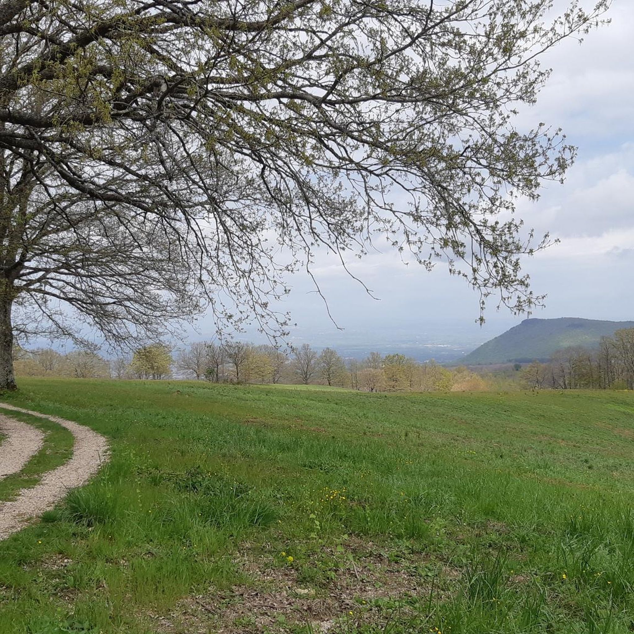
Road Cycling Routes in Riserva Naturale Regionale Valle Dell'Arcionello
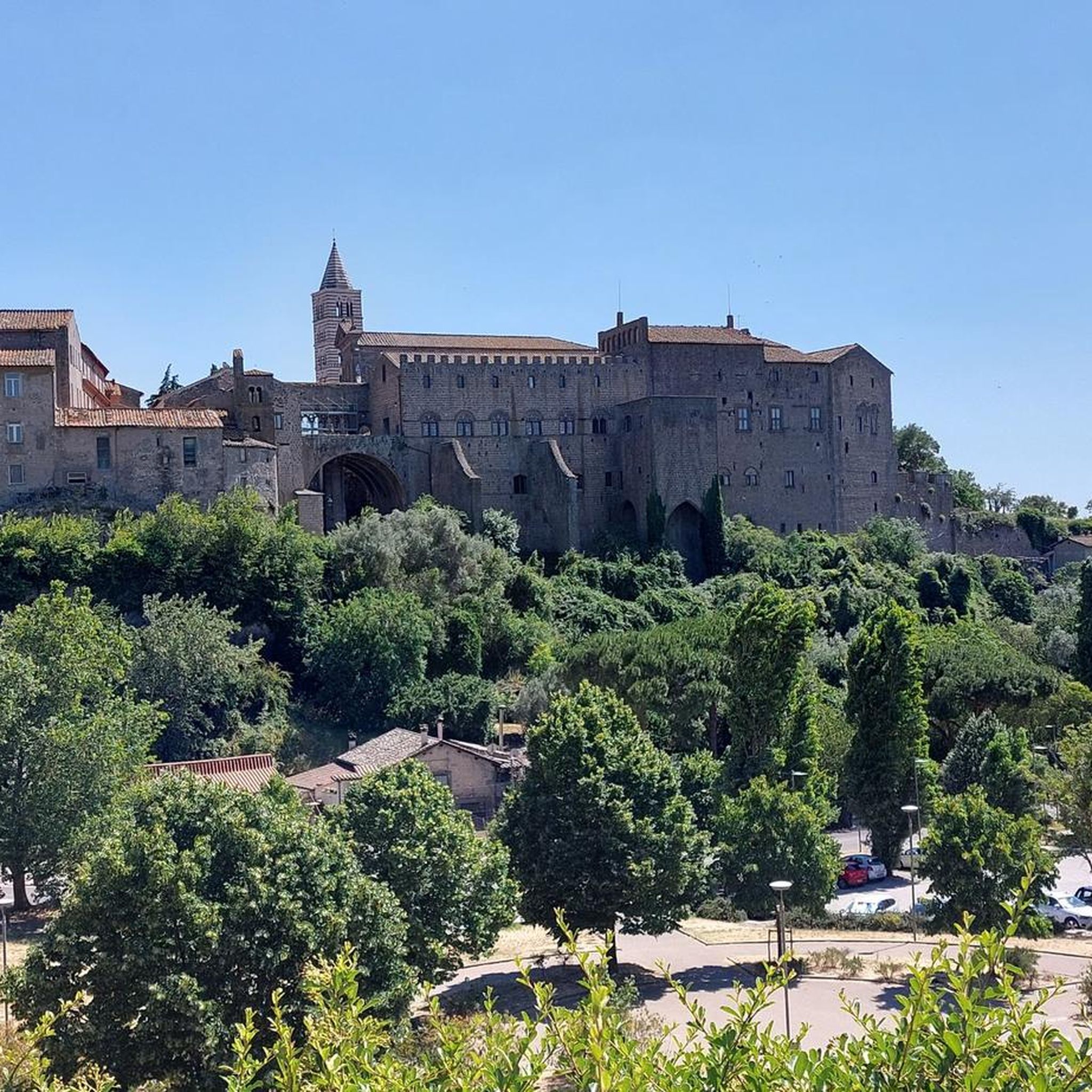
MTB Trails in Riserva Naturale Regionale Valle Dell'Arcionello
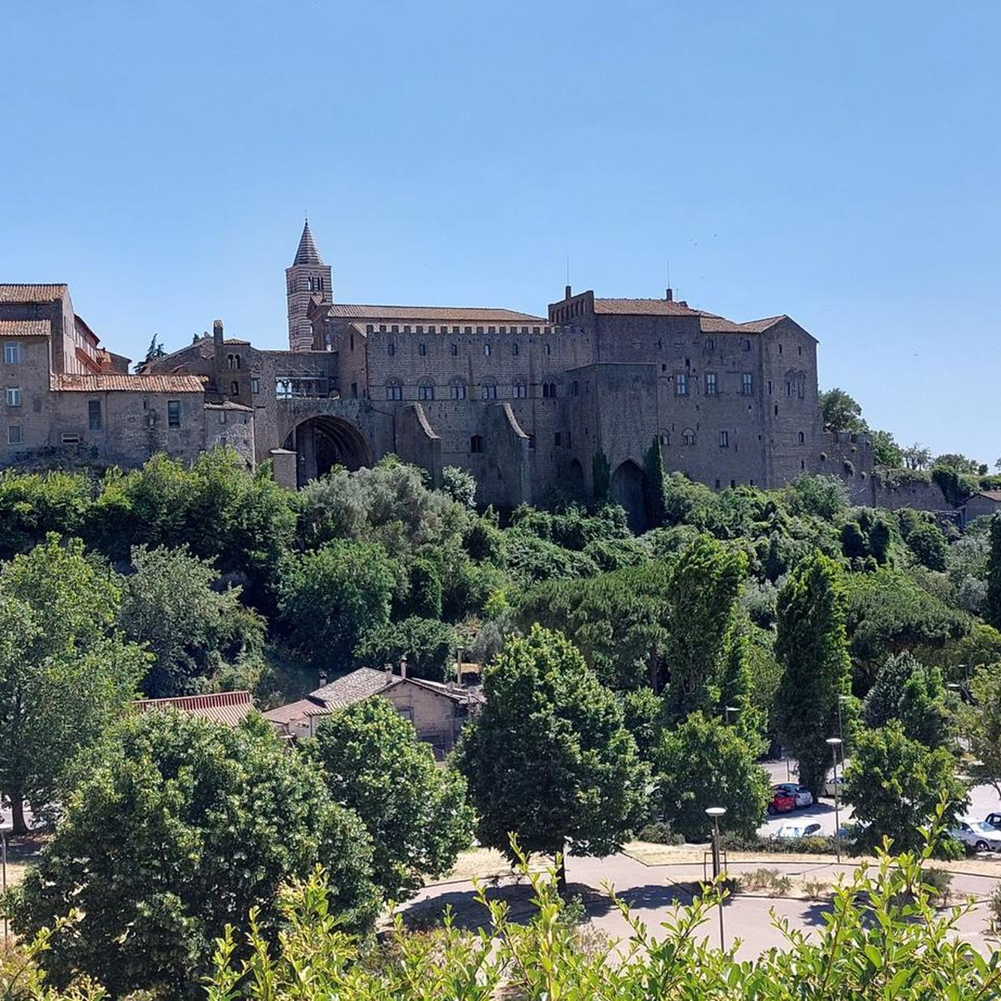
Cycling in Riserva Naturale Regionale Valle Dell'Arcionello
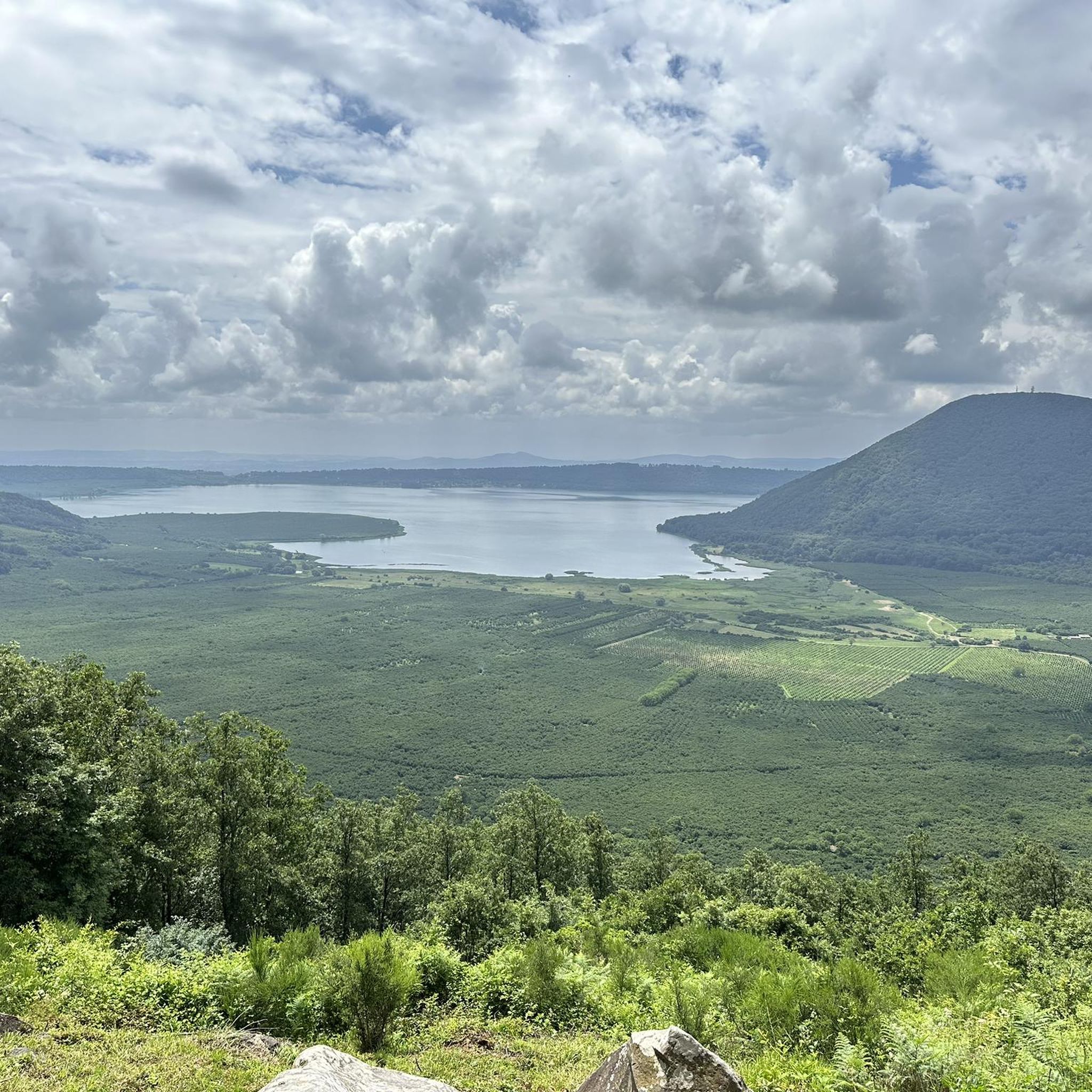
Running Trails in Riserva Naturale Regionale Valle Dell'Arcionello

Gravel biking in Riserva Naturale Regionale Valle Dell'Arcionello
Tips from the Community

City of waters
0
0

At the top of Monte Palanza it is possible to enjoy the astonishing view of the Viterbese.
1
0

Ancient aqueduct built at the beginning of the 20th century, now there are some stone remains partially covered by vegetation.
4
0
Climbing from the eastern side of Monte Palanzana, the excursion can be tackled by anyone with sufficient training. There are never excessive slopes and you can enjoy the surrounding nature.
1
0
Ancient aqueduct built at the beginning of the 20th century, now there are some stone remains partially covered by vegetation.
1
1

Naturalistic beauty in a unique landscape context.
0
0
Frequently Asked Questions
How many hiking trails are available in Riserva Naturale Regionale Valle Dell'Arcionello?
The Riserva Naturale Regionale Valle Dell'Arcionello offers nearly 180 hiking trails. These routes cater to various skill levels, with a good mix of easy, moderate, and challenging options.
What is the best time of year to go hiking in the Valle Dell'Arcionello?
The best times to hike are generally spring and autumn, when temperatures are mild and the natural scenery is vibrant. Spring brings lush greenery and blooming flora, while autumn offers beautiful foliage. Summer can be hot, but the shaded gorge areas provide some relief. Winter hiking is possible, but some paths might be slippery or less accessible.
What kind of terrain can I expect on the trails in Riserva Naturale Regionale Valle Dell'Arcionello?
You can expect a diverse terrain, ranging from paths winding through dense forests of beech and holm oak to trails along the volcanic gorge carved by the Fosso Luparo stream. Some routes involve ascents to Monte Palanzana, which can be rocky, while others follow waterways, potentially leading to wet or muddy sections. Appropriate trekking shoes are recommended for most trails.
Are there hiking trails suitable for beginners or families?
Yes, the reserve has many trails suitable for beginners and families. There are 68 easy routes that are generally shorter and have less elevation gain, perfect for a leisurely walk. For example, the Hiking loop from Riserva Naturale Regionale Valle dell'Arcionello is an easy 4.2 km path that takes about 1 hour 20 minutes.
What interesting natural features or landmarks can I see while hiking?
Hikers can explore a deep volcanic gorge with steep 'peperino' rock walls, numerous springs, and wetlands. The ascent of Monte Palanzana offers panoramic views of the Viterbese plain, Monte Cimino, and even the sea on clear days. You'll also find interesting grottoes and unique rock formations throughout the reserve.
Are there any historical or archaeological sites to explore along the trails?
Absolutely. The Valle Dell'Arcionello is rich in industrial archaeology. You can discover remnants of the old Palanzana Aqueduct, built before World War I, and 'cippi' (boundary markers). There's also the 'Cittadella delle Acque' with its 'bottini' (underground chambers) related to past water management. Remains of ancient water mills, paper mills, and sawmills, like the 'Segheria Anselmi', are scattered along the waterways, showcasing the historical use of water power.
Is parking available near the trailheads?
While specific official parking areas are not detailed, the region's proximity to Viterbo and surrounding towns like Bagnaia and Villa Lante suggests that parking options are available in or near these starting points. It's advisable to check local signage or use navigation apps for designated parking spots when planning your hike.
Can I reach the hiking trails by public transport?
The Riserva Naturale Regionale Valle Dell'Arcionello is located near Viterbo, which has public transport connections. Depending on your chosen trailhead, you may be able to reach certain access points via local bus services from Viterbo. However, direct public transport to all trailheads might be limited, so planning your route and checking local bus schedules in advance is recommended.
Are dogs allowed on the hiking trails?
Generally, dogs are permitted on trails in natural reserves, but they should be kept on a leash to protect local wildlife and ensure the safety of other hikers. Always be mindful of local regulations and clean up after your pet.
Are there circular hiking routes in Riserva Naturale Regionale Valle Dell'Arcionello?
Yes, circular routes are common and offer diverse perspectives of the reserve. For instance, the Palanzana Mountain loop from Bagnaia is a moderate 6.1 km circular trail that leads through varied forest and volcanic terrain.
What do other hikers say about the trails in Riserva Naturale Regionale Valle Dell'Arcionello?
The trails in Riserva Naturale Regionale Valle Dell'Arcionello are highly rated by the komoot community, with an average score of 4.5 stars from over 770 reviews. More than 3200 hikers have explored the varied terrain, often praising the unique volcanic landscapes, the historical industrial relics, and the sense of immersion in nature provided by the dense forests and flowing water.
What kind of wildlife and plant life can I observe?
The unique morphological and climatic characteristics of the gorge support a rich biodiversity. You might spot various birds of prey, deer, and wild boars. The reserve is also home to protected amphibians in its wetlands. The dense forests feature extensive stands of beech and holm oak, contributing to a vibrant and diverse ecosystem.
Most popular routes in Riserva Naturale Regionale Valle Dell'Arcionello

Get inspired with the komoot mobile app


Explore more
Browse the best Hikes in other regions.
