The best MTB trails in Monumento Naturale Pian Sant'Angelo
4.4
(251)
758
riders
98
rides
Mountain biking in Monumento Naturale Pian Sant'Angelo offers routes through a landscape shaped by ancient volcanic activity and water erosion. The area features deep tuff canyons, known as "forre," and an ancient agricultural landscape with cereal fields, oak trees, and olive groves. Unpaved agricultural roads and forest paths provide varied terrain for mountain bikers. This natural monument preserves the historical Ager Faliscus, blending natural exploration with archaeological discoveries.
Best mountain bike trails in Monumento Naturale Pian Sant'Angelo
- The most popular…
Last updated: August 31, 2026
4.5
(2)
3
riders
33.4km
02:12
450m
450m
Moderate mountain bike ride. Good fitness required. Suitable for all skill levels.
6
riders
65.2km
05:04
860m
860m
Hard mountain bike ride. Very good fitness required. Advanced riding skills necessary.

Sign up for free
6
riders
33.3km
02:08
380m
380m
Moderate mountain bike ride. Good fitness required. Suitable for all skill levels.
4.7
(6)
6
riders
20.4km
01:31
160m
160m
Easy mountain bike ride. Great for any fitness level. Suitable for all skill levels.
5.0
(1)
3
riders
Moderate mountain bike ride. Good fitness required. Suitable for all skill levels.
Get access to more routes and recommendations from other explorers.
Sign up for free
Already have an account?
Our route recommendations are based on thousands of hikes, rides, and runs completed by other people on komoot.
Start today with a free account
Your next adventure awaits.
Login or Signup
Popular around Monumento Naturale Pian Sant'Angelo


Tips from the Community

The Church of the Madonna del Soccorso dates back to the 15th century, it is a work of great architectural value, so much so that it was declared a national monument at the beginning of the 20th century (1902). It is said that the project was carried out by Giuliano da Sangallo, a famous architect of the Renaissance period. The church has an imposing façade, characterized by a large staircase and decorated with columns and pillars in peperino, the typical volcanic stone of the area. The central portal is particularly elaborate and above it there is a beautiful rose window. One of the most interesting elements is the mosaic of the Madonna del Soccorso, which replaced an ancient painting unfortunately stolen in the 1930s. The walls of the church are decorated with frescoes by the Torresani brothers, which tell the story of the foundation of the church and religious scenes. Particularly notable is the Cappella del Paradiso, with its frescoes attributed to the Zuccari or Torresani. The Church of the Madonna del Soccorso is not only a place of worship, but also an important historical and artistic testimony. Its similarity to the more famous Basilica della Madonna della Quercia in Viterbo increases its interest for architecture enthusiasts. Furthermore, under the church there is an ossuary where the Augustinian fathers were buried, adding an element of mystery and history to the already fascinating structure.
0
0

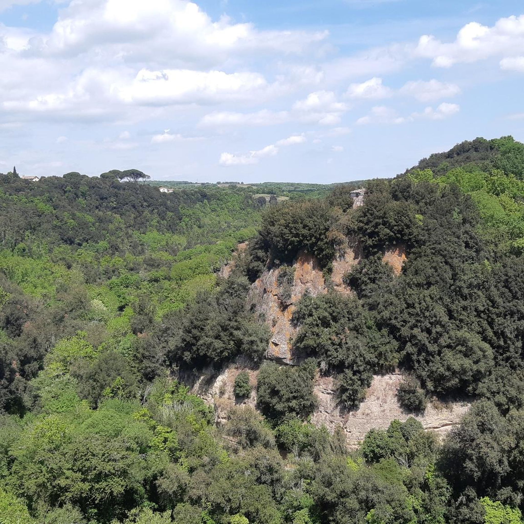
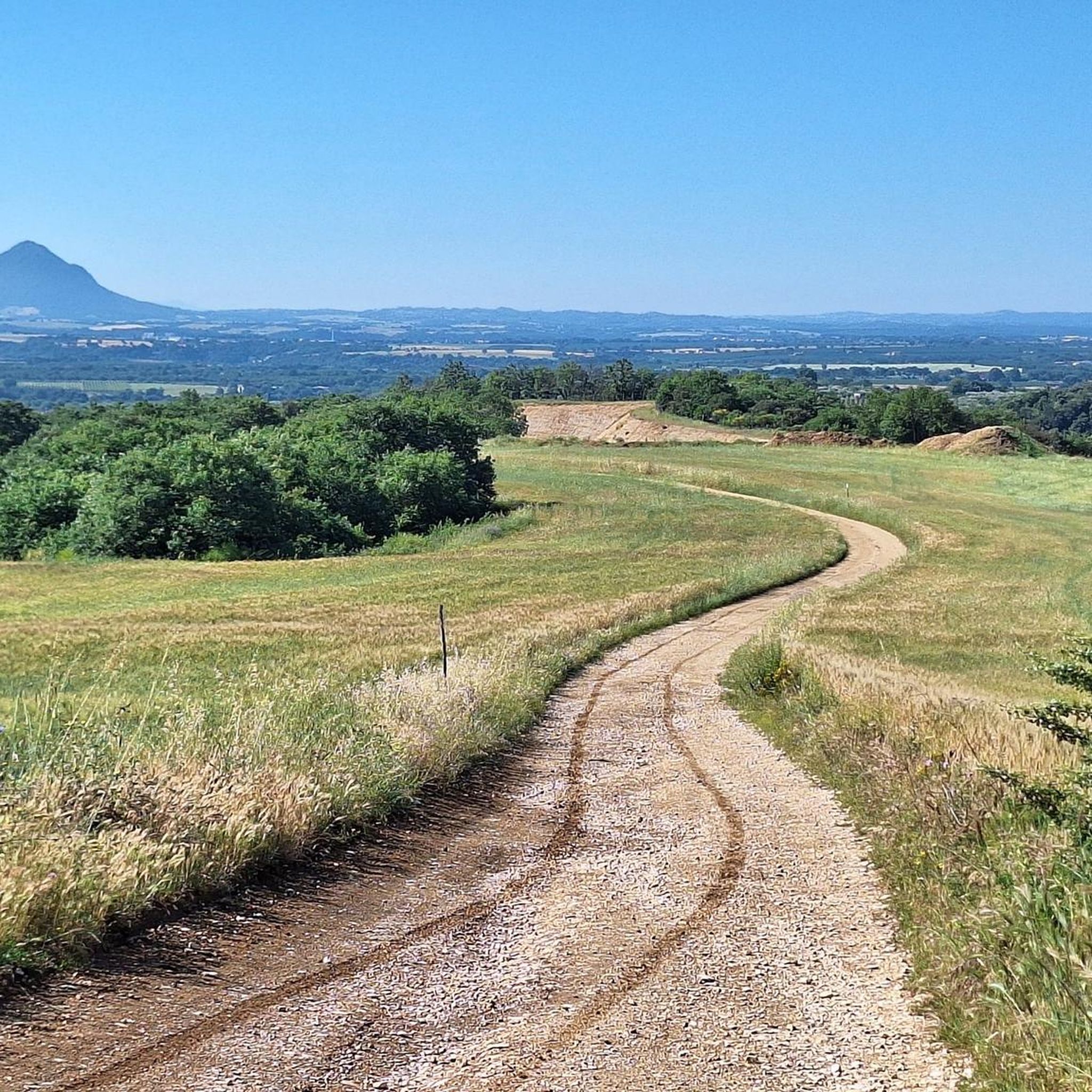
Descent towards Borghetto di Civitacastellana with a wonderful panorama in front of your eyes and the silhouette of Monte Soratte in the distance
2
0

Old part of Corchiano, set up for events
0
0
Entering the scrub, be careful, wild boars suddenly come out
0
0
under Corciano close the gate please
2
0
finally they cleaned it of the oaks
0
0
Path in the archaeological area of corchiano
1
0
In many itineraries you will find archaeological areas 😊
0
0
Frequently Asked Questions
How many mountain bike trails are available in Monumento Naturale Pian Sant'Angelo?
Monumento Naturale Pian Sant'Angelo offers a wide selection of mountain bike trails, with over 100 routes available. These routes cater to various skill levels, including easy, moderate, and difficult options.
What are the typical difficulty levels of mountain bike trails in this region?
The trails in Monumento Naturale Pian Sant'Angelo range from easy to difficult. You'll find approximately 10 easy routes, 76 moderate routes, and 20 difficult routes, ensuring options for different experience levels. The terrain often includes unpaved agricultural roads, forest paths, and sections through ancient tuff canyons.
Are there any specific landmarks or historical sites to see while mountain biking?
Yes, the area is rich in history. You can encounter significant archaeological remains, such as the impressive "Bridge of the Bridge" (Ponte del Ponte), an ancient aqueduct, and the "Tomb of the Chief" (Tomba del Capo), an Etruscan funerary structure. These historical elements are integrated into the natural landscape, offering a cultural dimension to your ride.
What is the best time of year for mountain biking in Monumento Naturale Pian Sant'Angelo?
The Monumento Naturale Pian Sant'Angelo is enjoyable for mountain biking through much of the year. Spring and autumn generally offer the most pleasant temperatures and vibrant scenery, with wildflowers in spring and rich foliage in autumn. Summer can be warm, so early morning or late afternoon rides are advisable. Winter rides are possible, but some paths might be muddy after rain.
Are the mountain bike trails suitable for families with children?
Yes, there are easy routes that can be suitable for families. For instance, the Panoramic Trail – Via Cava di Corchiano loop from Corchiano is an easy 9.3-mile (14.9 km) path that offers scenic views and passes through historical areas, making it a good option for a family outing. Always check the specific route details for elevation and terrain to ensure it matches your family's skill level.
Can I bring my dog on the mountain bike trails?
While the Monumento Naturale Pian Sant'Angelo is a WWF Oasis, generally dogs are permitted on trails, especially on public paths and unpaved roads, provided they are kept on a leash to protect the local wildlife and flora. It's always recommended to check with local regulations or the WWF Oasis management for any specific restrictions in sensitive areas.
Are there circular mountain bike routes available?
Yes, many of the mountain bike routes in Monumento Naturale Pian Sant'Angelo are designed as loops. Examples include the Via Amerina Trail – Strada Vecchia Amerina loop from Corchiano, a moderate 20.7-mile (33.4 km) trail, and the Stone Archway – Rural Panorama loop from Corchiano, a 22.7-mile (36.5 km) moderate route. These circular routes allow you to start and end at the same point, making logistics easier.
What kind of landscape and nature can I expect to see while mountain biking?
You'll experience a diverse landscape shaped by ancient volcanic activity and water erosion. Expect to ride through deep tuff canyons (forre), ancient agricultural fields with cereals, oak trees, and olive groves, and mixed deciduous forests. The area is a WWF Oasis, supporting rich flora and fauna, including Mediterranean scrub and various wildlife like wildcats and porcupines.
What do other mountain bikers say about the trails in Monumento Naturale Pian Sant'Angelo?
The mountain bike routes in Monumento Naturale Pian Sant'Angelo are highly regarded by the komoot community, with an average rating of 4.4 stars from over 190 reviews. More than 640 mountain bikers have used komoot to explore the varied terrain, often praising the unique blend of natural beauty, historical elements, and the quiet, immersive experience of riding through ancient landscapes.
Where can I find parking for mountain biking in the area?
Parking is typically available in the nearby towns of Corchiano and Gallese, which serve as common starting points for many routes. From these points, you can access the trails that lead into the Monumento Naturale Pian Sant'Angelo. Specific parking areas might be designated near trailheads, so checking local signage upon arrival is recommended.
Is public transport an option to reach the trails with a bike?
Public transport options to reach the Monumento Naturale Pian Sant'Angelo with a bike can be limited. While local buses or regional trains might serve the towns of Corchiano or Gallese, their capacity for bikes can vary. It's advisable to check the specific public transport provider's regulations regarding bicycle transport in advance if you plan to use this option.
Are there any permits or specific regulations for mountain biking in the Monumento Naturale Pian Sant'Angelo?
As a Monumento Naturale and WWF Oasis, the area is protected. While general access to public paths is usually permitted, some sensitive areas, especially within the deep 'forre' or near archaeological sites, may have specific regulations or require guided access. It's always best to inquire directly with the WWF Oasis management or local authorities for the most current information on permits and regulations to ensure responsible riding.
Are there places to eat or stay near the mountain bike trails?
The towns of Corchiano and Gallese, located adjacent to the Monumento Naturale Pian Sant'Angelo, offer various amenities. You can find local cafes, restaurants, and accommodation options in these towns. These serve as convenient bases for exploring the mountain bike trails and experiencing the local culture and cuisine.
Are there any routes that offer panoramic views of the region?
Yes, several routes provide excellent panoramic views, particularly those that traverse higher ground or skirt the edges of the tuff canyons. The Panoramic Trail – Via Cava di Corchiano loop from Corchiano is specifically noted for its scenic vistas, allowing riders to appreciate the unique geological formations and ancient agricultural landscape of the Ager Faliscus.
Most popular routes in Monumento Naturale Pian Sant'Angelo

Get inspired with the komoot mobile app


Explore more
Browse the best MTB trails in other regions.
