The best road cycling routes in Lecceto D'Acquasanta
4.3
(6)
144
riders
8
rides
Road cycling routes in Lecceto D'Acquasanta traverse a mountainous landscape characterized by significant elevation changes and scenic passes. The region, located in Ascoli Piceno, features routes that often climb through varied terrain, including forested areas and open mountain vistas. Road cyclists can expect challenging ascents and descents, with routes frequently leading to high-altitude points and offering expansive views.
Best road cycling routes in Lecceto D'Acquasanta
- The most popular road cycling route is Forca di Presta Pass – Forca di Presta…
Last updated: July 8, 2026
11
riders
62.8km
03:40
1,540m
1,540m
Hard road ride. Very good fitness required. Mostly well-paved surfaces and easy to ride.
4.0
(1)
8
riders
113km
05:30
1,590m
1,590m
Hard road ride. Very good fitness required. Mostly well-paved surfaces and easy to ride.

Sign up for free
4.3
(3)
18
riders
110km
05:51
2,150m
2,150m
Hard road ride. Very good fitness required. Mostly well-paved surfaces and easy to ride.
12
riders
74.3km
03:50
1,210m
1,210m
Hard road ride. Very good fitness required. Some segments of this route may be unpaved and difficult to ride.
5.0
(1)
22
riders
53.6km
03:13
1,390m
1,390m
Hard road ride. Very good fitness required. Mostly well-paved surfaces and easy to ride.
Get access to more routes and recommendations from other explorers.
Sign up for free
Already have an account?
Our route recommendations are based on thousands of hikes, rides, and runs completed by other people on komoot.
Start today with a free account
Your next adventure awaits.
Login or Signup


Tips from the Community

Ascending from the Pian Grande along the road toward the Forca Canapine pass, you're captivated by the wonder of the surroundings. The atmosphere is heavenly. Perhaps the time of year chosen for this tour was fortunate, as the melting snow on the plain has formed small lakes that contribute to making everything even more beautiful.
0
0
Climbing from the Pian Grande towards Forche Camapine, our gaze is captured by what appears around 360° in this plateau with a unique morphology, it seems to be in an earthly paradise. In this period I found natural lakes formed by the melting snow on the plain that create new landscapes... How lucky to have been there right at the end of February
0
0
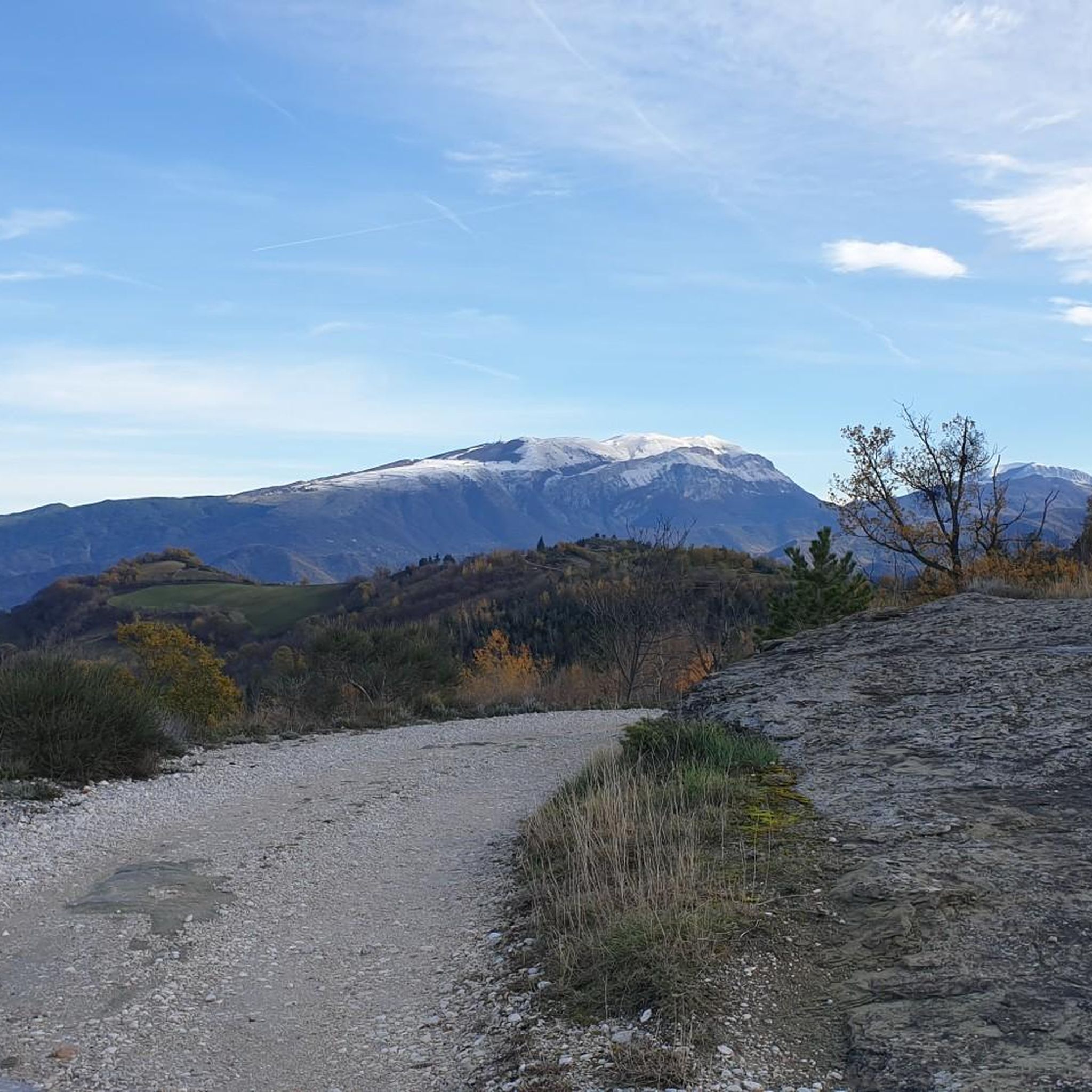
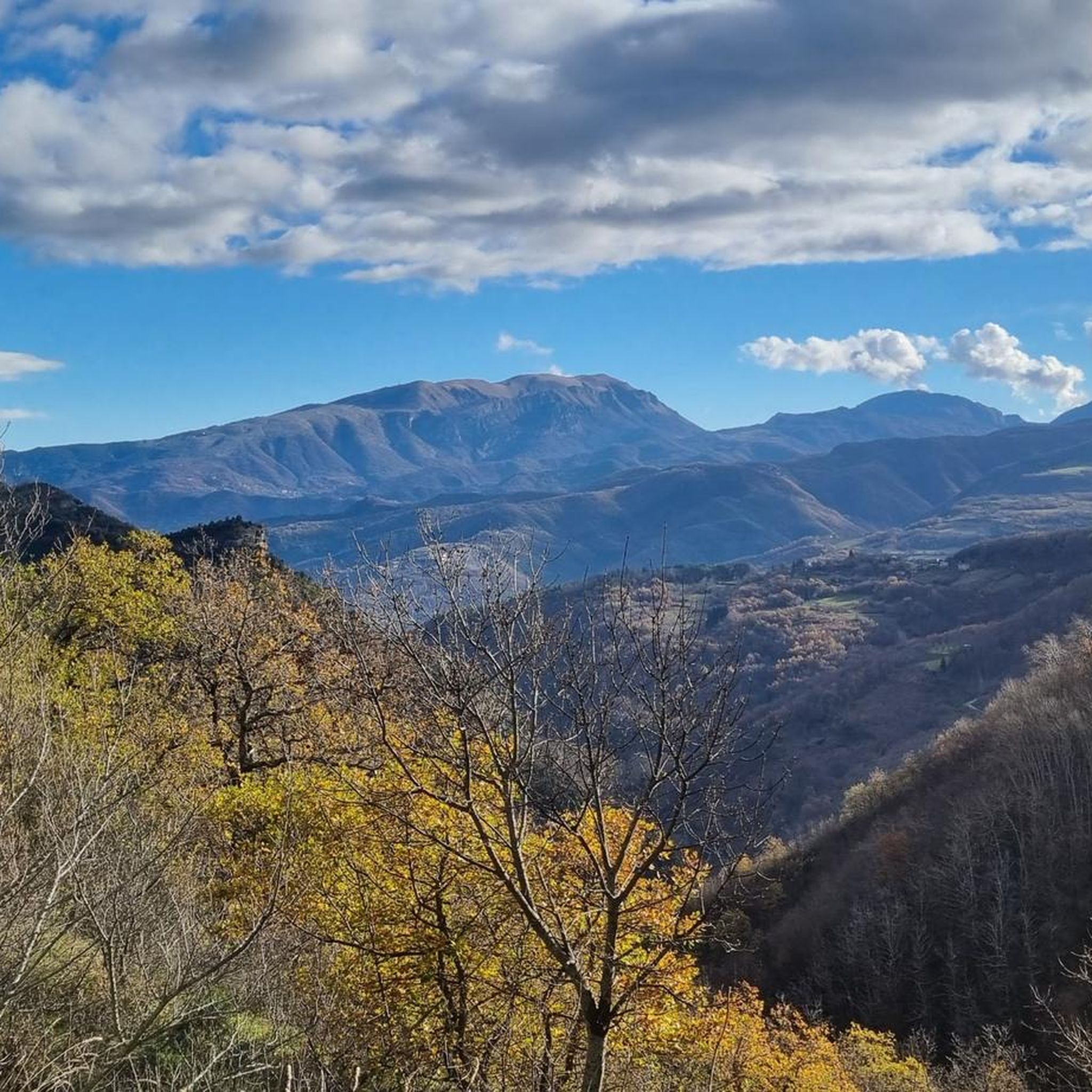
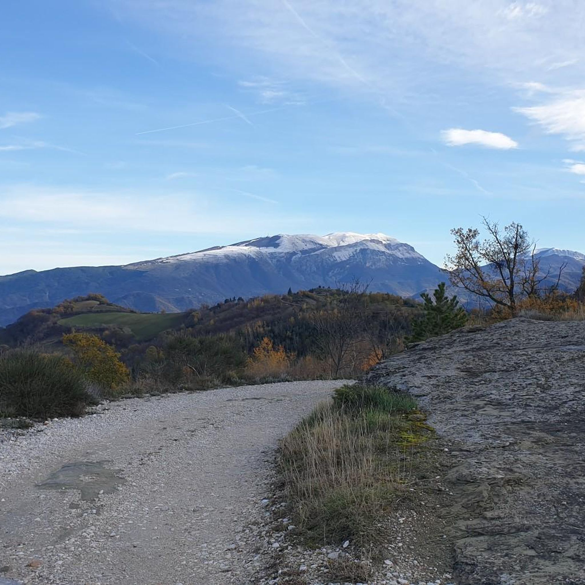
Passing over the pass that leads to Ascoli Piceno ( FORCA DI PRESTA ), it feels like being in the Alps. You pass between carved rocks with a panorama around that ranges over special views towards the Marche region (for example the Laga mountains) and the Abruzzo Apennines.
0
0

From this point you can admire the beautiful Sibillini mountains.
18
0

Very fast descent, excellent bottom
0
0

silence, something we sometimes need
0
0
Umbrian-Marche show, among lentils and wheat
0
0
the Castelluccio plain, beautiful both in bloom and not
0
0
Frequently Asked Questions
What is the general difficulty level for road cycling in Lecceto D'Acquasanta?
Road cycling in Lecceto D'Acquasanta is primarily characterized by challenging routes with significant elevation gain. Out of the 6 available routes, 5 are rated as difficult, reflecting the mountainous terrain of the Apennine range.
Are there any beginner-friendly road cycling routes in Lecceto D'Acquasanta?
While most routes are challenging, there is one moderate option suitable for those with some experience: Forca di Presta Pass – View from Forca di Presta loop from Pretare. This 18.3-mile (29.4 km) route offers a balanced challenge with notable climbs and scenic views.
What kind of elevation gain can I expect on road bike routes near Lecceto D'Acquasanta?
Road cycling in Lecceto D'Acquasanta involves substantial elevation changes. For instance, the Forca di Presta Pass – Forca di Presta loop from Acquasanta Terme features over 1,500 meters of ascent, typical of the region's mountainous passes.
How long do road cycling routes in Lecceto D'Acquasanta typically take to complete?
Route durations vary depending on distance and elevation. For example, the Forca di Presta Pass – Forca di Presta loop from Acquasanta Terme, at 39 miles (62.8 km), takes approximately 3 hours 40 minutes. Longer routes, like the Campotosto Lake – Campotosto Fountain loop from Acquasanta Terme (70.4 miles / 113.3 km), can take around 5 hours 30 minutes.
Are there any family-friendly road cycling options in Lecceto D'Acquasanta?
Given the mountainous terrain and significant elevation changes, most road cycling routes in Lecceto D'Acquasanta are geared towards experienced cyclists. There are no routes specifically rated as 'easy' for beginners or young families.
What is the best season for road biking in Lecceto D'Acquasanta?
The best season for road biking is typically from late spring to early autumn (May to October) when mountain passes are clear of snow and weather conditions are more stable. Winter cycling can be challenging due to snow and ice at higher elevations.
Are there any scenic viewpoints along Lecceto D'Acquasanta road bike routes?
Yes, the region is known for its expansive mountain vistas. Routes often lead to high-altitude points and passes, such as the Forca di Presta Pass, offering panoramic views of the Apennine landscape and surrounding valleys.
Are there any hidden gem road bike loops in the area?
For a less frequented but equally rewarding experience, consider the Bisignano Village – Vallesenzana and Mozzano loop from Giustimana. This 45.1-mile (72.6 km) route offers a challenging ride through varied terrain, including villages and scenic valleys.
What do other road cyclists enjoy most about road cycling in Lecceto D'Acquasanta?
The area is highly rated by the komoot community, with an average score of 4.25 stars. Reviewers often praise the challenging ascents, the stunning mountain scenery, and the sense of accomplishment from conquering the Apennine passes.
Are there any road cycling routes that pass by lakes or other natural features?
Yes, the Campotosto Lake – Campotosto Fountain loop from Acquasanta Terme is a notable route that leads through mountainous terrain and past the beautiful Campotosto Lake, offering a refreshing change of scenery.
What are the options for advanced road cycling routes in Lecceto D'Acquasanta?
Lecceto D'Acquasanta is ideal for advanced road cyclists. Most routes feature significant elevation gain and challenging distances. The Church of Saint Augustine – Amatrice Construction Site loop from Arquata del Tronto is another excellent option, covering 46.1 miles (74.3 km) with over 1,200 meters of climbing.
Most popular routes in Lecceto D'Acquasanta

Get inspired with the komoot mobile app


Explore more
Browse the best Road cycling routes in other regions.
