The best road cycling routes in Boschi Di Terne - Pupaggi
4.8
(5)
154
riders
7
rides
Road cycling in Boschi Di Terne - Pupaggi, located in the natural park area of Perugia, features a landscape characterized by rolling hills, river valleys, and significant elevation changes. The region offers varied terrain suitable for road cyclists seeking both challenging climbs and scenic routes through the Italian countryside. This area is known for its quiet roads and picturesque views, making it a destination for focused road cycling.
Best road cycling routes in Boschi Di Terne - Pupaggi
- The most…
Last updated: July 8, 2026
5.0
(1)
16
riders
56.7km
03:26
1,460m
1,460m
Hard road ride. Very good fitness required. Mostly well-paved surfaces and easy to ride.
7
riders
55.9km
02:38
650m
650m
Moderate road ride. Good fitness required. Mostly well-paved surfaces and easy to ride.

Sign up for free
9
riders
42.7km
02:07
600m
600m
Moderate road ride. Good fitness required. Mostly well-paved surfaces and easy to ride.
7
riders
37.9km
01:53
530m
530m
Moderate road ride. Good fitness required. Some segments of this route may be unpaved and difficult to ride.
5.0
(1)
5
riders
41.4km
02:18
770m
770m
Moderate road ride. Good fitness required. Mostly well-paved surfaces and easy to ride.
Get access to more routes and recommendations from other explorers.
Sign up for free
Already have an account?
Our route recommendations are based on thousands of hikes, rides, and runs completed by other people on komoot.
Start today with a free account
Your next adventure awaits.
Login or Signup

Tips from the Community

RASIGLIA, 648 meters above sea level, is located about 17 km above Foligno. Recently known as the "Borgo dei Streams" or the "Venice of Umbria" due to the streams that flow through the small village.
0
0

A WONDERFUL SMALL VILLAGE THAT WILL LEAVE YOU OPEN-MOUTHED
0
0

A beautiful town on the border with Abruzzo.
14
0

Colfiorito is the largest town on the vast plateau of about 300 hectares where it is located, at an altitude of 781 m above sea level, along the Strada statale 77 della Val di Chienti that connects Foligno to Civitanova Marche; part of the plateau falls within the territory of the municipality of Serravalle di Chienti, in the province of Macerata. The karst plateau derives from the draining of seven lake basins, of which only the marsh remains. Colfiorito, according to Istat data from the 2001 census, has about 400 residents. If you want to continue on internal roads that lead back to Foligno instead of returning on the SS 77 (a bit busy) you pass through the town and from there you move among the beautiful green and fresh hills.
3
0
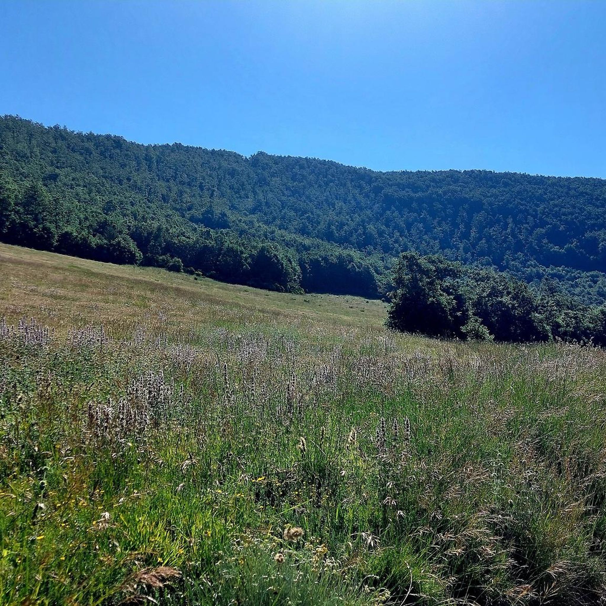
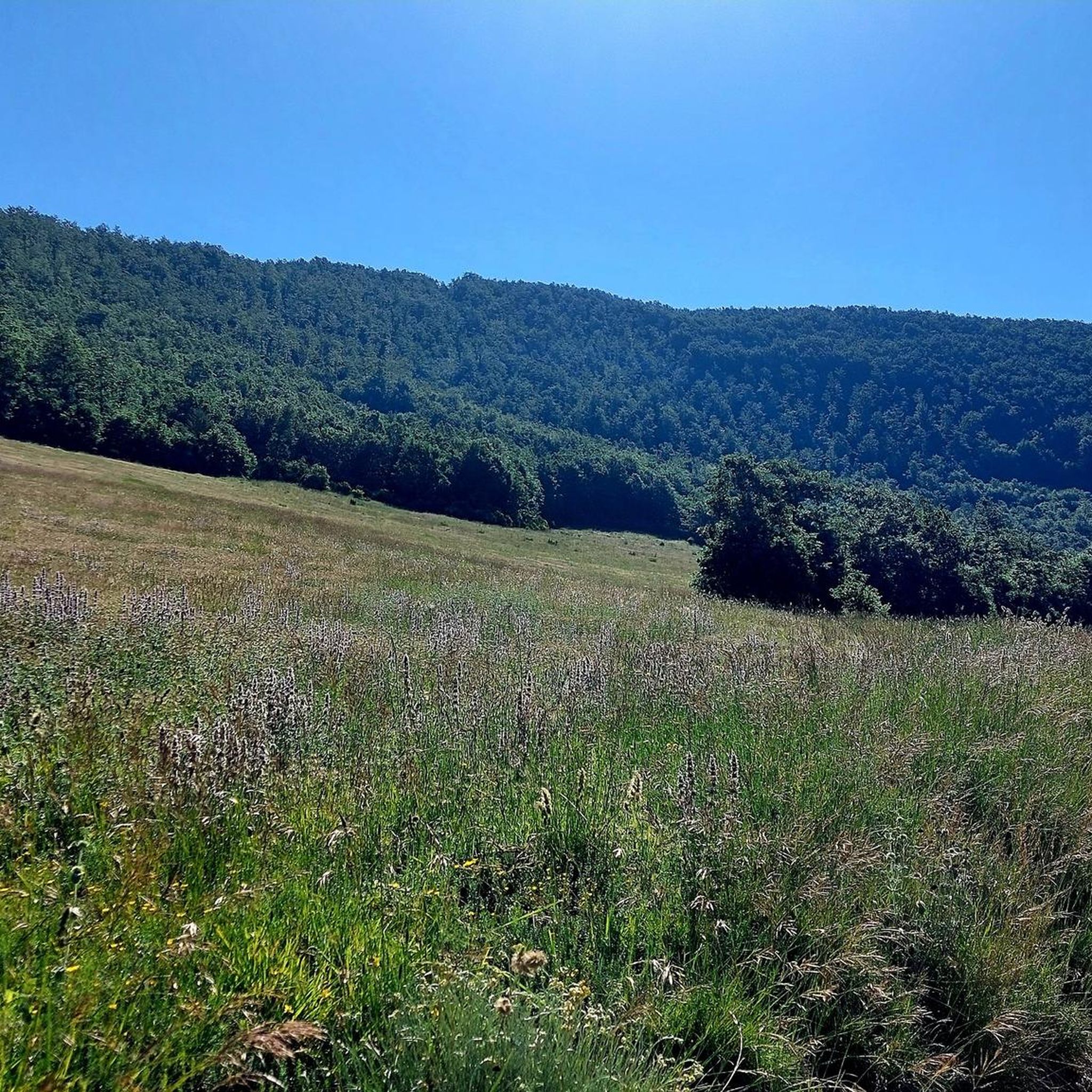
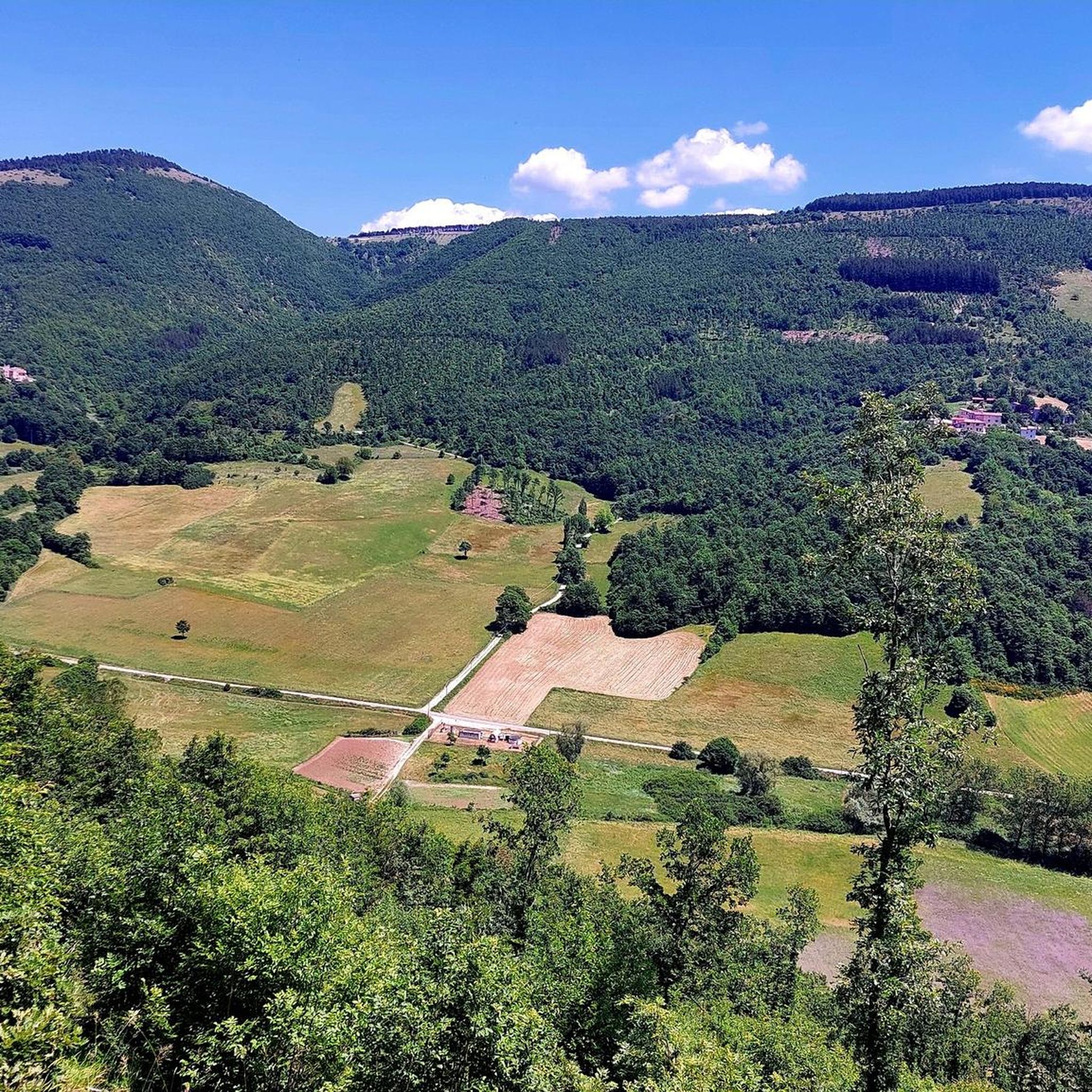
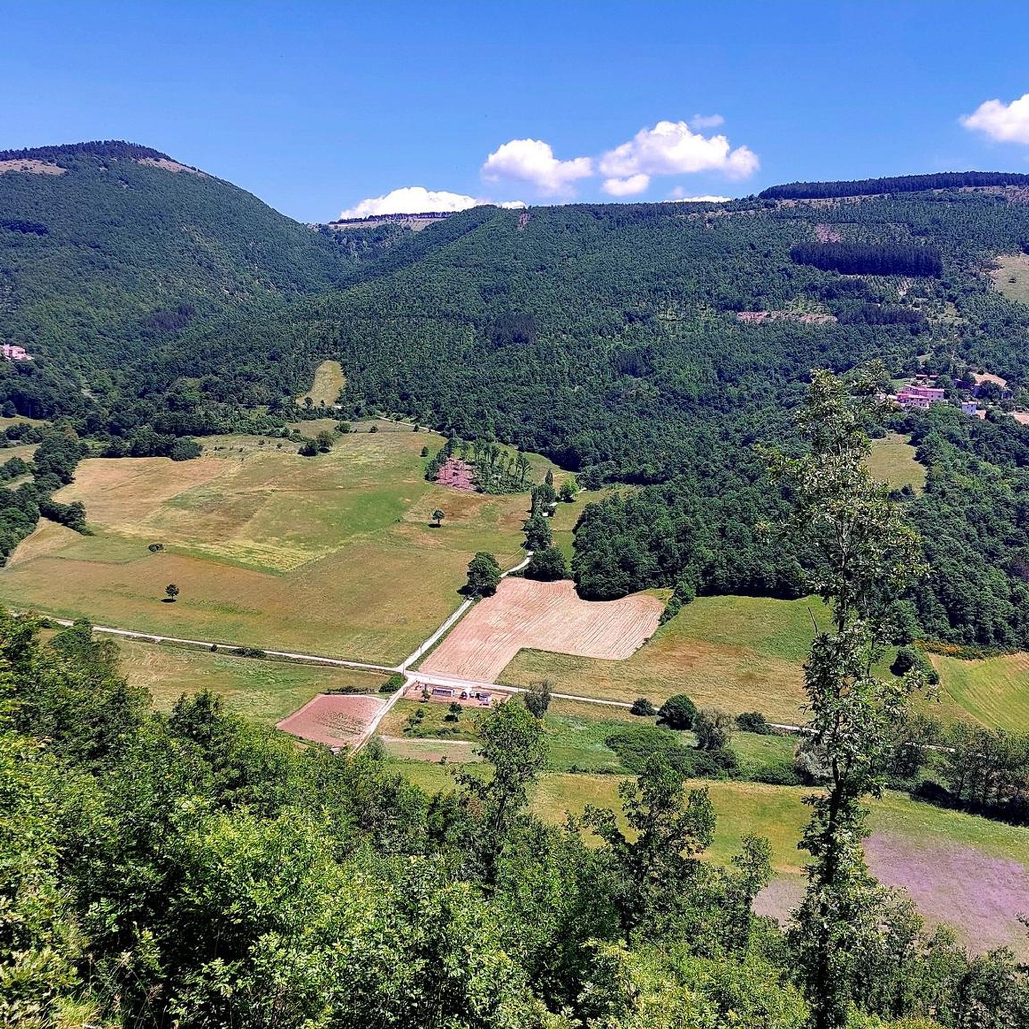
Central Italy offers breathtaking views.
12
0
Frequently Asked Questions
How many road cycling routes are available in Boschi Di Terne - Pupaggi?
There are 9 road cycling routes in Boschi Di Terne - Pupaggi, offering a variety of experiences through the region's diverse landscape.
What is the general difficulty level for road cycling in Boschi Di Terne - Pupaggi?
The routes in Boschi Di Terne - Pupaggi primarily cater to moderate and difficult ability levels. You'll find 5 moderate routes and 4 difficult routes, featuring significant elevation changes and challenging climbs.
Are there any beginner-friendly road cycling routes in Boschi Di Terne - Pupaggi?
Boschi Di Terne - Pupaggi is known for its rolling hills and elevation changes, meaning there are no routes specifically classified as 'easy'. The available routes are suitable for cyclists with some experience, ranging from moderate to difficult.
What kind of terrain can I expect on road cycling routes in Boschi Di Terne - Pupaggi?
You can expect a landscape characterized by rolling hills, scenic river valleys, and mountain passes. The routes often include significant elevation gains, providing both challenging climbs and picturesque views of the Italian countryside.
Are there any routes that pass by waterfalls or rivers?
Yes, the region features routes that follow river valleys and pass by waterfalls. For example, the Menotre River in Rasiglia – Menotre Waterfalls in Pale loop from Verchiano is a moderate route that leads through river valleys and past the Menotre Waterfalls.
What do other road cyclists enjoy the most about road cycling in Boschi Di Terne - Pupaggi?
The area is highly rated by the komoot community, with an average score of 4.7 out of 5 stars from over 16 reviews. Cyclists often praise the quiet roads, the challenging climbs, and the expansive, picturesque views encountered along the routes.
Are there any good loop routes for road cycling in the area?
Yes, many of the routes in Boschi Di Terne - Pupaggi are designed as loops. For instance, the difficult Sellano – Scenic Road to Pettino loop from Sellano and the moderate Casenuove – Colfiorito Pass loop from Verchiano are popular circular options.
What is the best season for road biking in Boschi Di Terne - Pupaggi?
The best seasons for road biking in Boschi Di Terne - Pupaggi are typically spring and autumn. During these times, the weather is generally milder, and the natural scenery is particularly vibrant, making for more comfortable and enjoyable rides. Summer can also be suitable, but be prepared for warmer temperatures, especially on climbs.
Are there any routes that offer expansive views or pass over mountain passes?
Absolutely. Routes like the difficult Casenuove – Colfiorito Pass loop from Sellano include climbs over the Colfiorito Pass, offering expansive views of the surrounding landscape. The region's topography ensures many opportunities for panoramic vistas.
What is the longest road cycling route available in Boschi Di Terne - Pupaggi?
The longest road cycling route in the area is the difficult Colfiorito Pass – Casenuove loop from Verchiano, which spans approximately 81.9 kilometers (50.9 miles) and features significant elevation gain.
Are there any hidden gem routes that are less frequented?
While all routes in Boschi Di Terne - Pupaggi offer quiet roads, the Menotre River in Rasiglia – Menotre Waterfalls in Pale loop from Verchiano, though popular, offers a unique blend of river valleys and waterfalls that might feel like a discovery for those seeking natural beauty away from more strenuous climbs.
Most popular routes in Boschi Di Terne - Pupaggi

Get inspired with the komoot mobile app


Explore more
Browse the best Road cycling routes in other regions.
