The best walks and hikes in Fosso Della Vallaccia - Monte Pormaiore
4.3
(588)
1,042
hikers
111
hikes
Hiking trails in Fosso Della Vallaccia - Monte Pormaiore are located within a natural park in the Perugia region, offering diverse terrain for outdoor activities. The area features prominent peaks like Monte Giuoco del Pallone (1200m) and Monte Burella (1095m), both recognized for their ecological significance. Trails traverse varied landscapes, including forested areas and open sections with panoramic views, particularly over the Topino River valley. The region provides a range of routes suitable for different fitness levels, from gentle walks…
Last updated: August 31, 2026
5.0
(2)
5
hikers
8.93km
03:08
450m
450m
Moderate hike. Good fitness required. Easily-accessible paths. Suitable for all skill levels.
4.0
(4)
6
hikers
4.09km
01:19
160m
160m
Easy hike. Great for any fitness level. Easily-accessible paths. Suitable for all skill levels.

Sign up for free
3
hikers
15.6km
05:07
690m
690m
Hard hike. Very good fitness required. Easily-accessible paths. Suitable for all skill levels.
4
hikers
7.23km
02:14
270m
270m
Moderate hike. Good fitness required. Easily-accessible paths. Suitable for all skill levels.
4.4
(12)
84
hikers
11.0km
04:00
630m
630m
Moderate hike. Good fitness required. Mostly accessible paths. Sure-footedness required.
Get access to more routes and recommendations from other explorers.
Sign up for free
Already have an account?
Our route recommendations are based on thousands of hikes, rides, and runs completed by other people on komoot.
Start today with a free account
Your next adventure awaits.
Login or Signup
Popular around Fosso Della Vallaccia - Monte Pormaiore
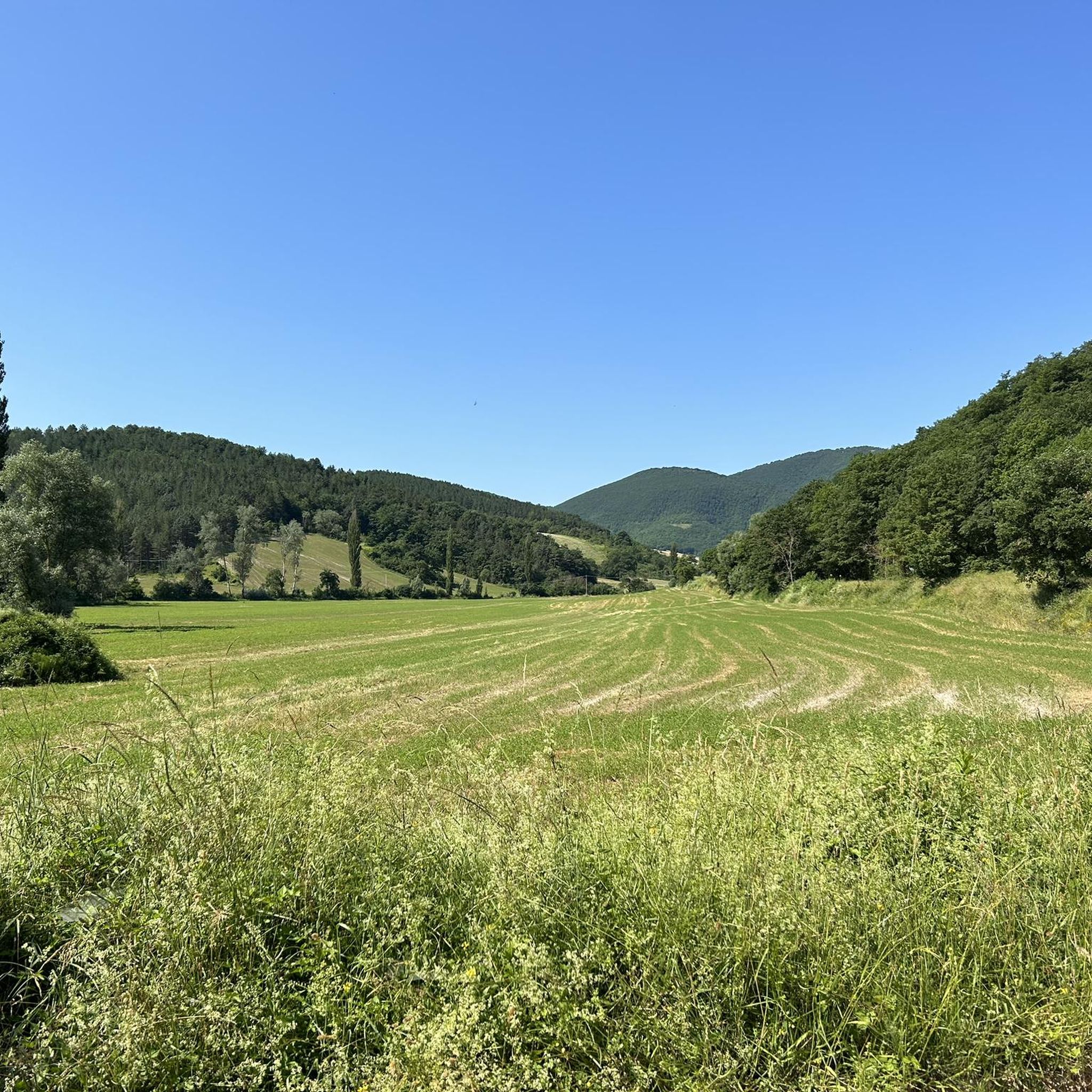
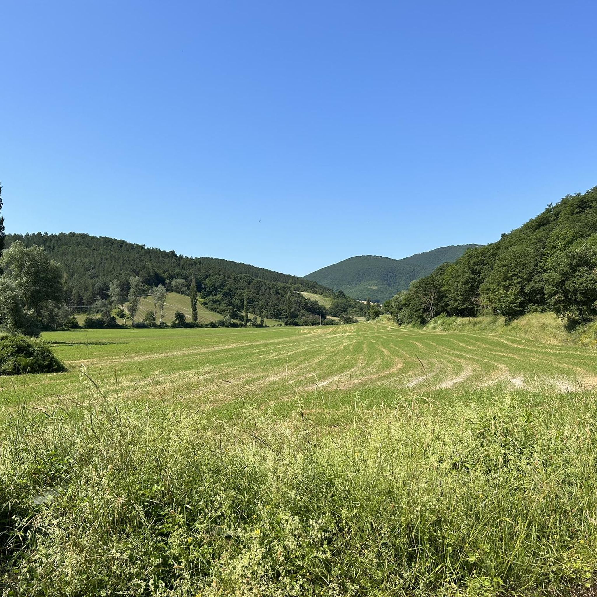
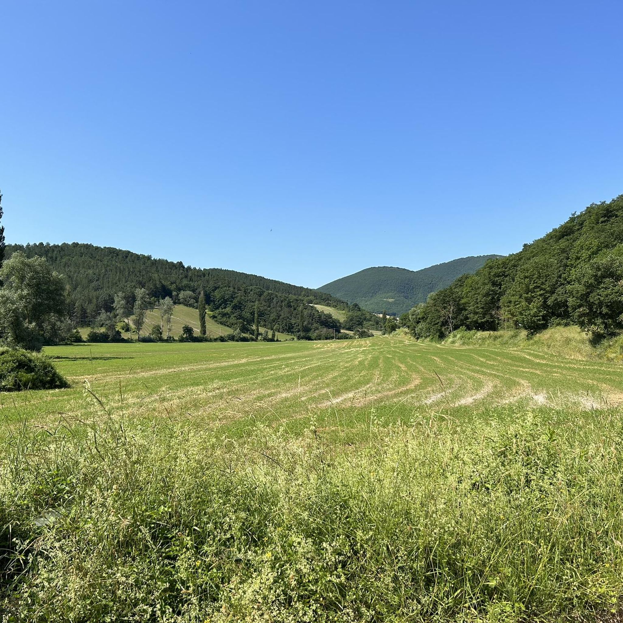

Tips from the Community

Arrived at the summit, absolutely SPECTACULAR
0
0


nice single track to get there, spectacular 360° landscape
0
0

Fonte di Brescia is a fraction of the municipality of Fiuminata. Located at 650 meters above sea level, here the Potenza river is born, which then flows north-east until it flows into the Adriatic. It is an excellent starting point for many excursions, both on foot and by bicycle, towards Piani di Pioraco, or towards Monte Pennino and Valle Scurosa.
1
1
Monte Giuoco del Pallone is a 1200-metre peak located between Esanatoglia and Campodonico. The name derives from a natural basin placed on the top, where "balloon with bracelet" was played, an ancient game popular in Italy until the beginning of the 1900s. It is a Site of Community Interest (SIC) due to the presence of protected habitats and species.
1
0

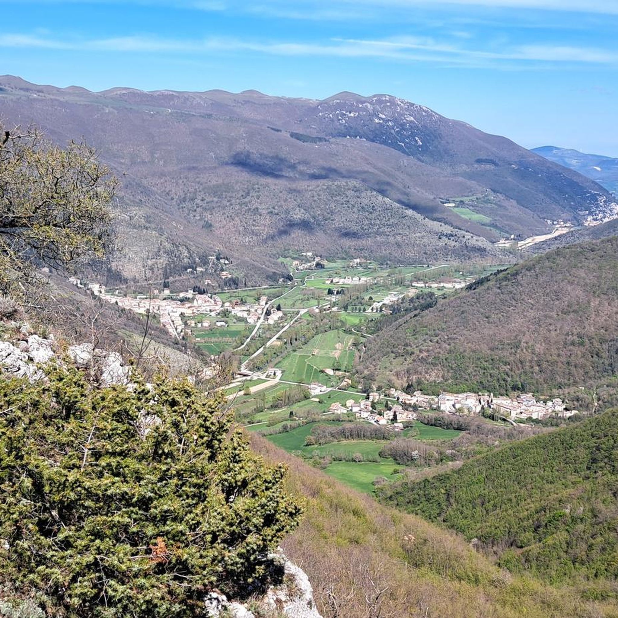
Monte Burella is located at 1095 meters and is located on the edge of the special area of conservation (ZSC) of Monte Alago. To the south you can see the valley with the Topino River, also a Special Area of Conservation.
1
0

third of the three laces with a south and south-west view up to the Sibellini mountains and Mount Vettore
2
0
Mount with very particular name and beautiful view
1
0
Frequently Asked Questions
What are the different difficulty levels of hiking trails in Fosso Della Vallaccia - Monte Pormaiore?
The region offers a wide range of trails to suit various fitness levels. You can find easy paths, such as the Monte Burella loop from Monte Alago, as well as moderate routes like the Santa Lucia Fortress loop from Piana di Pioraco. For more experienced hikers, there are also difficult climbs available, such as the Fonte di Brescia – Santa Lucia Fortress loop from Fonte di Brescia.
What kind of terrain can I expect on the hiking trails?
The trails in Fosso Della Vallaccia - Monte Pormaiore traverse varied landscapes, including forested areas and open sections. You can expect diverse terrain that ranges from gentle paths to challenging ascents, often leading to panoramic viewpoints.
What are some notable landmarks or viewpoints along the trails?
Hikers can explore prominent peaks such as Monte Giuoco del Pallone (1200m) and Monte Burella (1095m). Monte Giuoco del Pallone offers panoramic views and is recognized for its ecological significance. From Monte Burella, you can observe the valley of the Topino River. The Santa Lucia Fortress is another notable point of interest.
What natural features can I expect to see while hiking?
The region is characterized by significant peaks and protected natural habitats. You'll encounter diverse forest paths and open sections that provide panoramic views, particularly over the Topino River valley. Both Monte Giuoco del Pallone and Monte Burella are part of ecologically important areas.
Is parking available near the trailheads?
While specific parking locations are not detailed in the guide, the area is known for its accessibility for outdoor activities, suggesting that parking options are generally available near popular trail starting points. It's advisable to check local information or maps for designated parking areas before your visit.
How can I reach Fosso Della Vallaccia - Monte Pormaiore using public transport?
The guide focuses on the hiking trails themselves and does not specify public transport routes to the trailheads. For detailed public transport information, it is recommended to consult local transport authorities or travel planning websites for the Perugia region.
Do I need any permits to hike in Fosso Della Vallaccia - Monte Pormaiore?
The provided information does not indicate that special permits are required for general hiking in Fosso Della Vallaccia - Monte Pormaiore. However, as the area is within a natural park, always respect local regulations and signage.
When is the best time of year to go hiking in this region?
The guide does not specify a best season. However, given the diverse terrain and elevation, spring and autumn generally offer pleasant temperatures for hiking. Summer can be warm, while winter might present snow at higher elevations, offering different experiences.
Are there family-friendly hiking options available?
Yes, the region offers trails suitable for various fitness levels, including easy paths that are ideal for families. The Monte Burella loop from Monte Alago, for example, is an easy 4.2 km path that takes approximately 1 hour 22 minutes, making it a good choice for families.
Are dogs allowed on the hiking trails?
The guide does not explicitly state rules regarding dogs on trails. In natural parks, dogs are often permitted but may be required to be on a leash to protect wildlife. It's best to check local park regulations before bringing your dog.
Are there circular hiking routes in Fosso Della Vallaccia - Monte Pormaiore?
Yes, there are several circular routes available. Popular options include the Santa Lucia Fortress loop from Piana di Pioraco, the Monte Burella loop from Monte Alago, and the Monte Giuoco del Pallone Loop, all designed to bring you back to your starting point.
What do other hikers enjoy the most about hiking in Fosso Della Vallaccia - Monte Pormaiore?
The area is highly rated by the komoot community, with an average score of 4.2 stars from over 460 reviews. Hikers often praise the diverse terrain, the panoramic views from peaks like Monte Giuoco del Pallone, and the variety of routes catering to different ability levels.
How many hiking trails are there in Fosso Della Vallaccia - Monte Pormaiore?
There are over 100 hiking trails available in Fosso Della Vallaccia - Monte Pormaiore, offering a wide selection for all preferences and fitness levels.
Most popular routes in Fosso Della Vallaccia - Monte Pormaiore

Get inspired with the komoot mobile app


Explore more
Browse the best Hikes in other regions.
